Porth Sûr
Bay in Anglesey
Wales
Porth Sûr
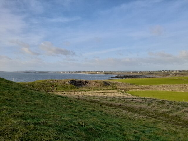
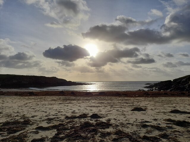
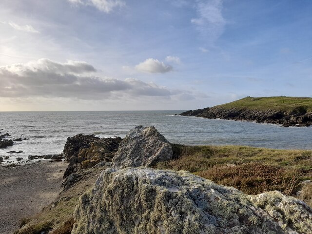
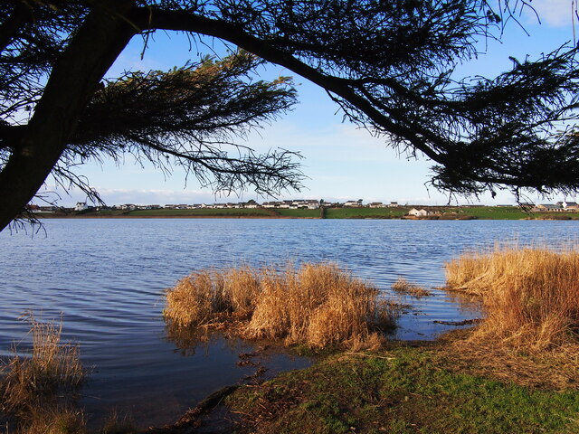
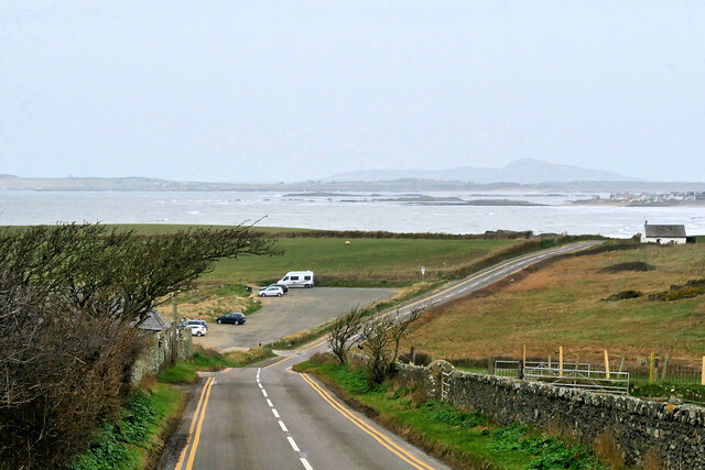
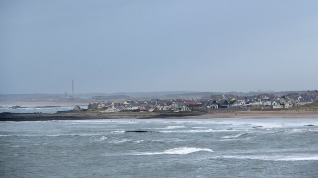
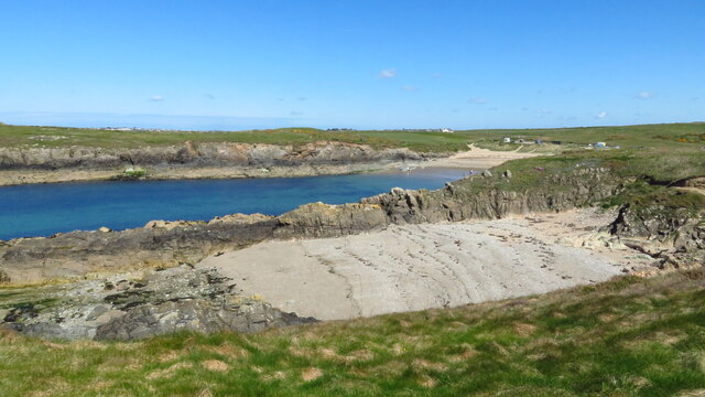
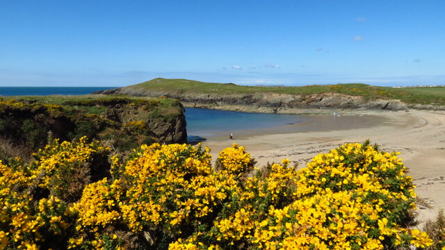
Porth Sûr, also known as Church Bay, is a picturesque bay located on the western coast of Anglesey, an island off the northwest coast of Wales. It is renowned for its natural beauty and tranquil atmosphere, making it a popular destination for tourists and locals alike.
The bay is surrounded by rugged cliffs and rolling hills, providing stunning panoramic views of the North Wales coastline. Its pristine sandy beach stretches for approximately half a mile, offering visitors ample space for relaxation, sunbathing, and picnics. The beach is also a hotspot for water sports enthusiasts, with opportunities for swimming, kayaking, and paddleboarding.
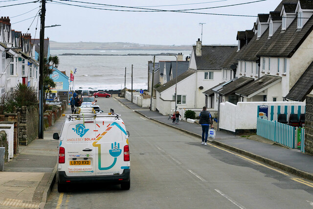
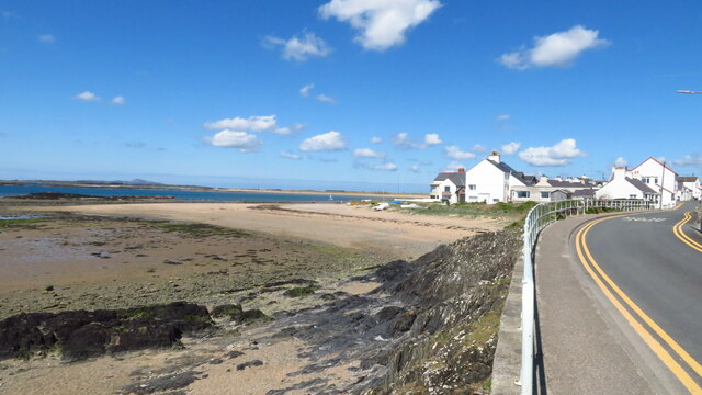
Porth Sûr is home to a small fishing village, which adds to its charm and character. Visitors can witness local fishermen going about their daily routines, providing the opportunity to learn about the area's rich maritime heritage. The village also boasts a cozy pub and a few local shops, offering refreshments and basic amenities to visitors.
Nature lovers will appreciate the bay's diverse flora and fauna. The area is a haven for birdwatching, with a variety of seabirds and waders frequenting the cliffs and shoreline. Additionally, the bay is a designated Area of Outstanding Natural Beauty, and its surrounding countryside offers numerous walking trails, allowing visitors to explore the stunning landscape further.
Overall, Porth Sûr is a hidden gem on the island of Anglesey, offering a peaceful and idyllic escape from the hustle and bustle of modern life. Its natural beauty, charming village, and range of recreational activities make it a must-visit destination for anyone seeking tranquility and a connection with nature.
If you have any feedback on the listing, please let us know in the comments section below.
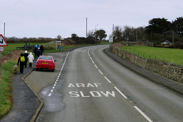
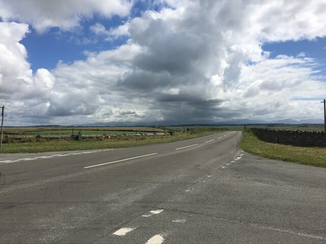
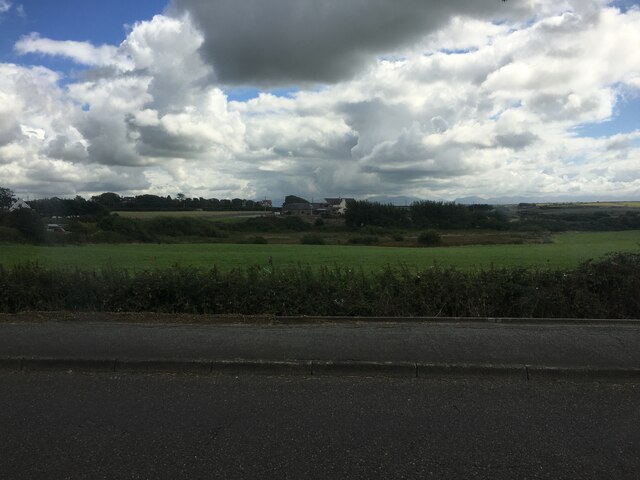
Porth Sûr Images
Images are sourced within 2km of 53.213938/-4.5063196 or Grid Reference SH3271. Thanks to Geograph Open Source API. All images are credited.


Porth Sûr is located at Grid Ref: SH3271 (Lat: 53.213938, Lng: -4.5063196)
Unitary Authority: Isle of Anglesey
Police Authority: North Wales
What 3 Words
///excuse.systems.ruffling. Near Rhosneigr, Isle of Anglesey
Nearby Locations
Related Wikis

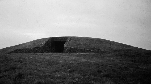
Barclodiad y Gawres
Barclodiad y Gawres (Welsh for 'The Giantess's Apronful'; Welsh pronunciation: [barkˌlɔdjad ə ˈgau̯rɛs]) is a Neolithic burial chamber between Rhosneigr...

Trecastell
Trecastell is a farm and historical site in the community of Aberffraw, Anglesey, Wales. == History == Llywelyn the Great, Prince of the Kingdom of Gwynedd...

St Maelog's Church, Llanfaelog
St Maelog's Church is a church in the village of Llanfaelog, situated in the Isle of Anglesey, Wales. The present building dates from the 19th century...

Llanfaelog
Llanfaelog is a village and community in western Anglesey, Wales. It is situated some 13 kilometres south-east of Holyhead and 22 kilometres west of the...
Nearby Amenities
Located within 500m of 53.213938,-4.5063196Have you been to Porth Sûr?
Leave your review of Porth Sûr below (or comments, questions and feedback).