Keveral Beach
Beach in Cornwall
England
Keveral Beach
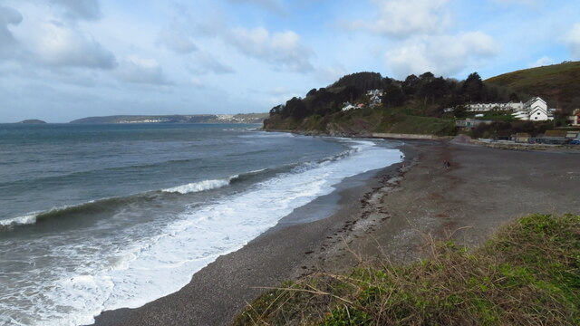
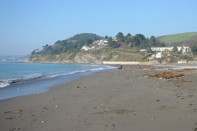
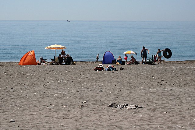
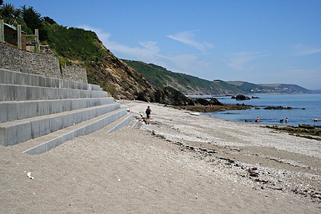
Keveral Beach is a picturesque coastal gem located in Cornwall, England. Situated near the village of Seaton, this sandy beach offers visitors a tranquil and unspoiled seaside experience. Spanning approximately half a mile in length, Keveral Beach is known for its pristine golden sands and crystal-clear waters that are perfect for swimming and paddling.
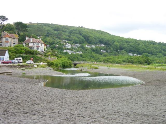
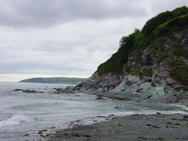
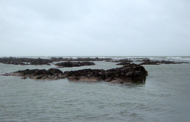
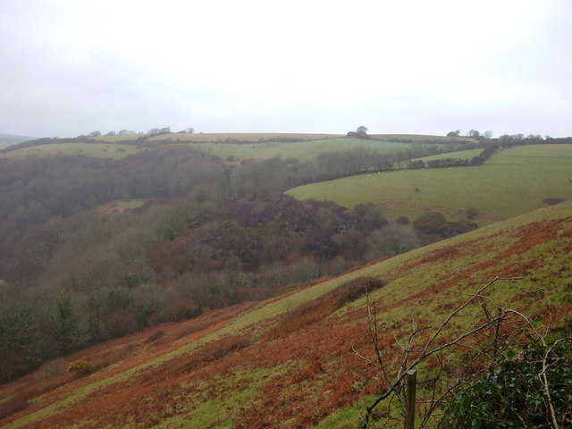
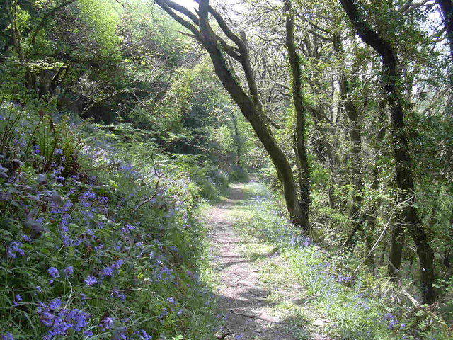
The beach is flanked by rugged cliffs on either side, providing a breathtaking backdrop and adding to its natural beauty. It is surrounded by rolling green hills and lush vegetation, creating a peaceful and idyllic setting. The area is also rich in wildlife, with various species of birds and marine life often spotted along the shoreline.
Keveral Beach is renowned for its excellent water quality and has been awarded the Blue Flag status, ensuring visitors of its cleanliness and environmental standards. Lifeguards are on duty during peak season, ensuring the safety of beachgoers.
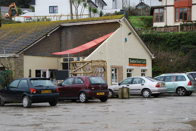
Facilities at Keveral Beach are limited, contributing to its unspoiled charm. However, there is a small car park nearby, offering convenient access for visitors. The beach is also popular with surfers, with occasional swells providing ideal conditions for catching waves.
Due to the beach's remote location, it remains relatively uncrowded, offering a peaceful and serene escape from the hustle and bustle of everyday life. Whether you are seeking a quiet stroll along the shoreline, a relaxing sunbathing session, or an exhilarating surf, Keveral Beach is a true hidden gem that promises a memorable coastal experience.
If you have any feedback on the listing, please let us know in the comments section below.
Keveral Beach Images
Images are sourced within 2km of 50.363288/-4.4002679 or Grid Reference SX2954. Thanks to Geograph Open Source API. All images are credited.


Keveral Beach is located at Grid Ref: SX2954 (Lat: 50.363288, Lng: -4.4002679)
Unitary Authority: Cornwall
Police Authority: Devon and Cornwall
What 3 Words
///struggle.hypocrite.congratulations. Near Looe, Cornwall
Nearby Locations
Related Wikis
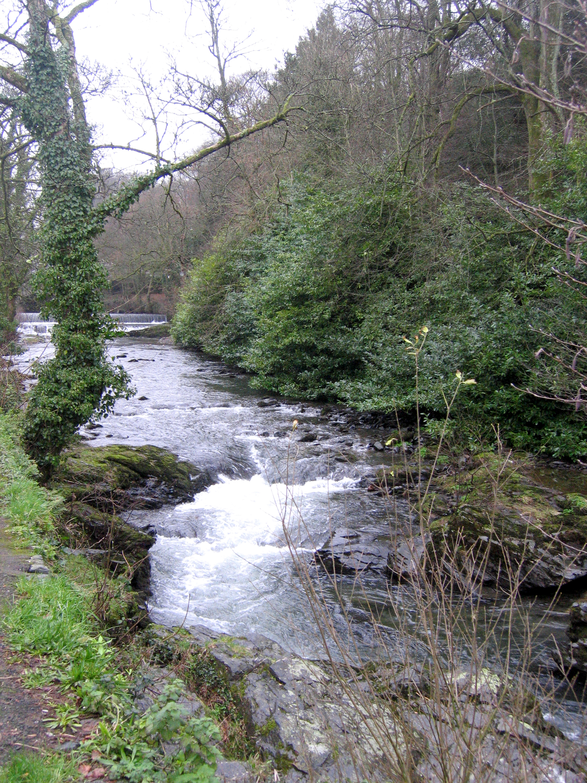
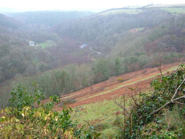
River Seaton
The River Seaton is a river in east Cornwall, England, UK which flows southwards for 11 miles (17 km) into the English Channel. The river rises near Caradon...

Monkey Sanctuary
The Monkey Sanctuary was founded in 1964 by Len Williams, father of classical guitarist John Williams, as a cooperative to care for rescued woolly monkeys...

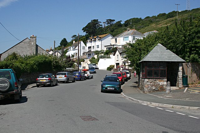
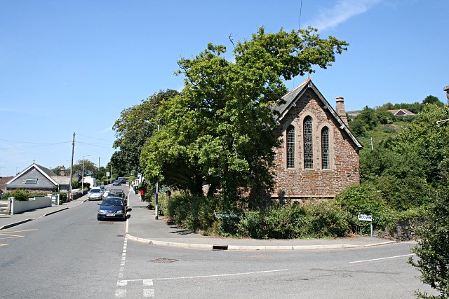
Seaton, Cornwall
Seaton (Cornish: Sethyn, meaning little arrow after the river) is a village on the south coast of Cornwall, England, at the mouth of the River Seaton...
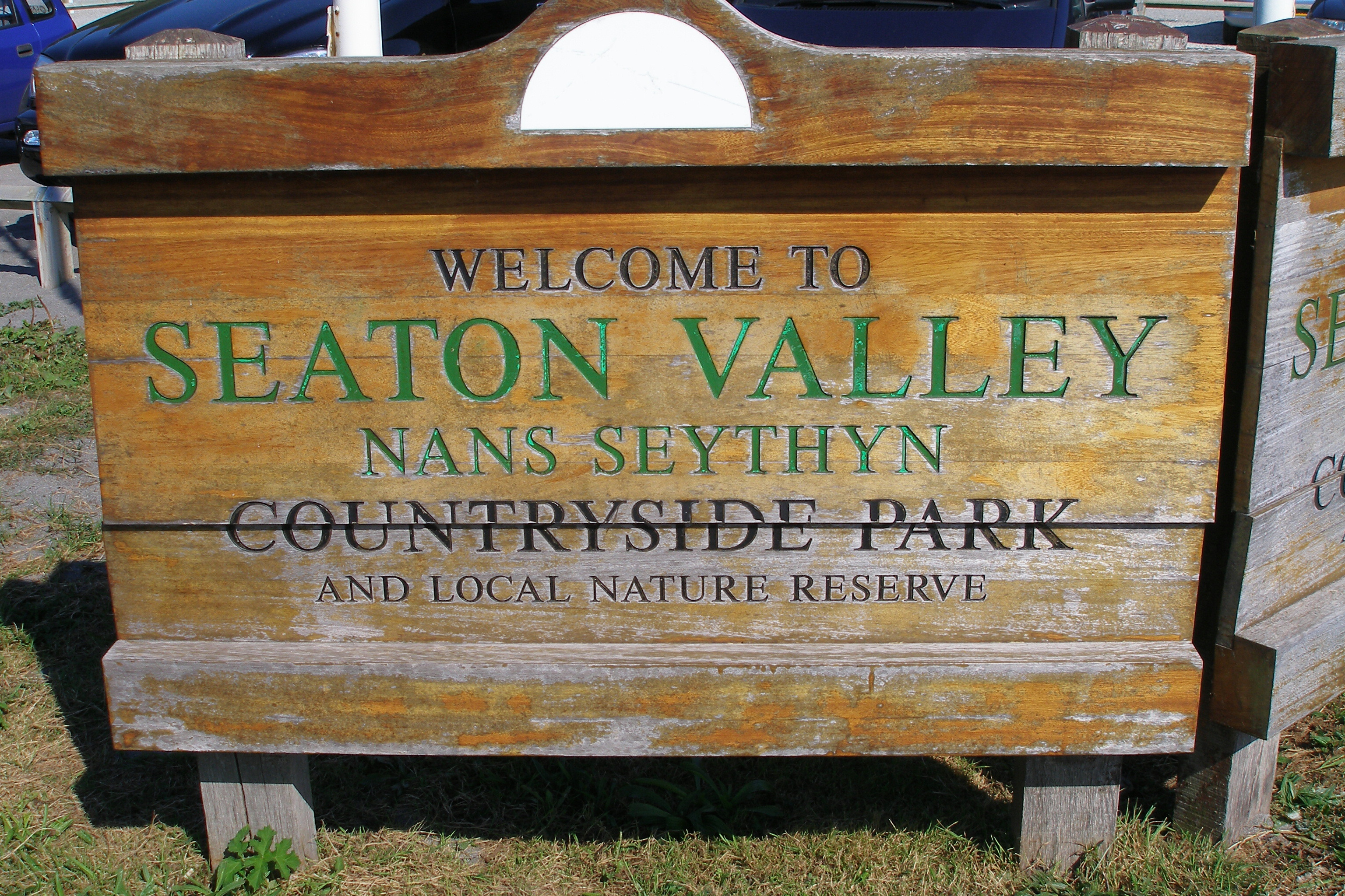
Seaton Valley Countryside Park
Seaton Valley Countryside Park is the newest of Cornwall's four Country Parks. It is situated in the Seaton valley between the villages of Seaton and Hessenford...
Downderry
Downderry (Cornish: Downderri) is a coastal village in southeast Cornwall, England, United Kingdom. It is situated 12 miles (19 km) west of Plymouth and...

Millendreath
Millendreath is a hamlet in the parish of Looe, Cornwall, England, situated two miles east of the town of Looe.A station was to be built at Millendreath...
Plaidy, Cornwall
Plaidy is an eastern suburb of Looe, Cornwall, England, UK. Plaidy Beach is a sandy beach and Millendreath Beach is at its eastern end. The writer Eleanor...
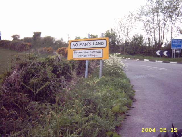
No Man's Land, Cornwall
No Man's Land is a crossroads hamlet in south-east Cornwall, England, United Kingdom. It is situated approximately two miles (3 km) northeast of Looe on...
Nearby Amenities
Located within 500m of 50.363288,-4.4002679Have you been to Keveral Beach?
Leave your review of Keveral Beach below (or comments, questions and feedback).