Breun Chamas
Beach in Argyllshire
Scotland
Breun Chamas

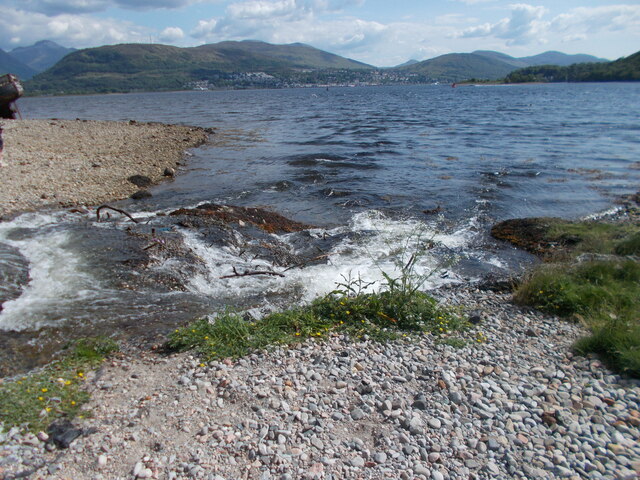
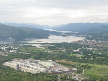
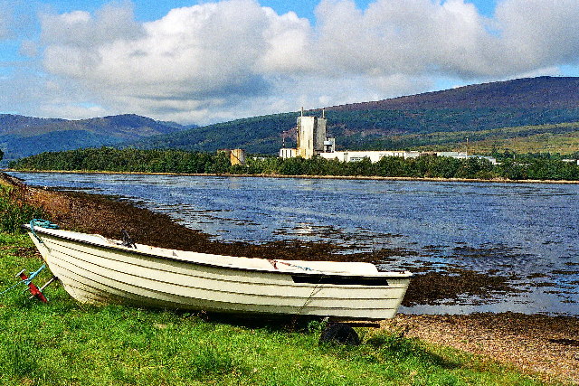
Breun Chamas, located in Argyllshire, Scotland, is a picturesque beach known for its natural beauty and tranquility. Stretching along the western coast of Scotland, the beach offers visitors a stunning view of the surrounding rugged landscape and the vast expanse of the Atlantic Ocean.
Breun Chamas is characterized by its pristine sandy shores and crystal-clear turquoise waters. It boasts a long and wide stretch of beach, providing ample space for visitors to relax, sunbathe, and enjoy various recreational activities. The soft sand and gentle waves make it an ideal destination for families, couples, and solo travelers alike.
The beach is surrounded by rolling hills and rocky cliffs, providing a dramatic backdrop to the serene coastal scenery. Visitors can explore the surrounding area and take in breathtaking views from the top of the cliffs or embark on leisurely walks along the sandy shore.
Nature enthusiasts will find Breun Chamas to be a haven for wildlife. The beach is home to a variety of seabirds, including gulls, cormorants, and oystercatchers, which can be spotted along the shoreline or soaring above the waves. The nearby waters are also teeming with marine life, making it an excellent spot for fishing and snorkeling.
Facilities at Breun Chamas are limited, with only basic amenities such as parking and public toilets available. However, this adds to the beach's charm, allowing visitors to truly immerse themselves in the unspoiled natural surroundings.
Overall, Breun Chamas in Argyllshire offers a tranquil escape from the hustle and bustle of everyday life. Its breathtaking scenery, sandy shores, and abundant wildlife make it a must-visit destination for nature lovers and those seeking a peaceful beach experience.
If you have any feedback on the listing, please let us know in the comments section below.
Breun Chamas Images
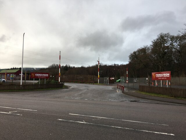
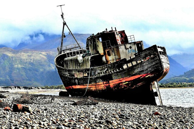
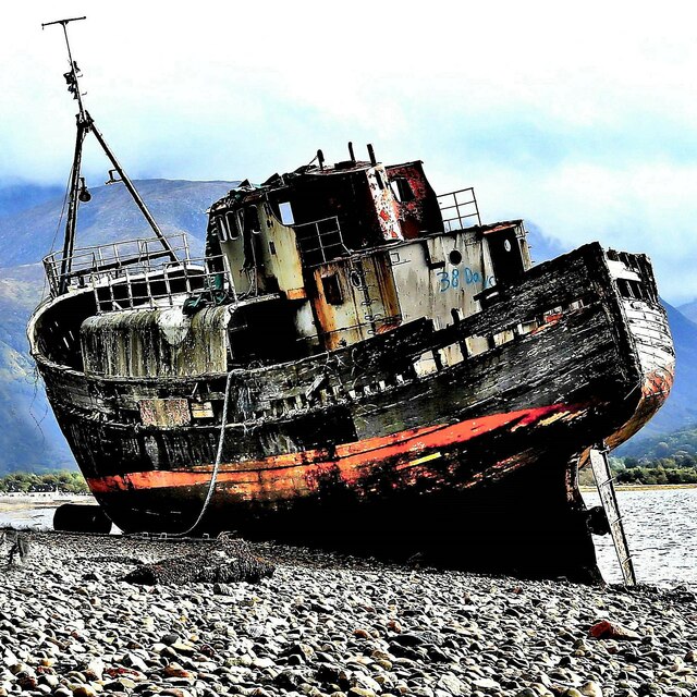
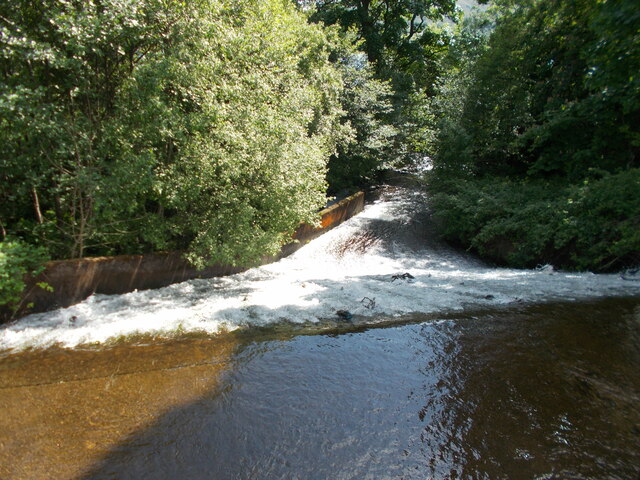
Images are sourced within 2km of 56.841187/-5.1202454 or Grid Reference NN0976. Thanks to Geograph Open Source API. All images are credited.


Breun Chamas is located at Grid Ref: NN0976 (Lat: 56.841187, Lng: -5.1202454)
Unitary Authority: Highland
Police Authority: Highlands and Islands
What 3 Words
///newest.consonant.transmits. Near Fort William, Highland
Nearby Locations
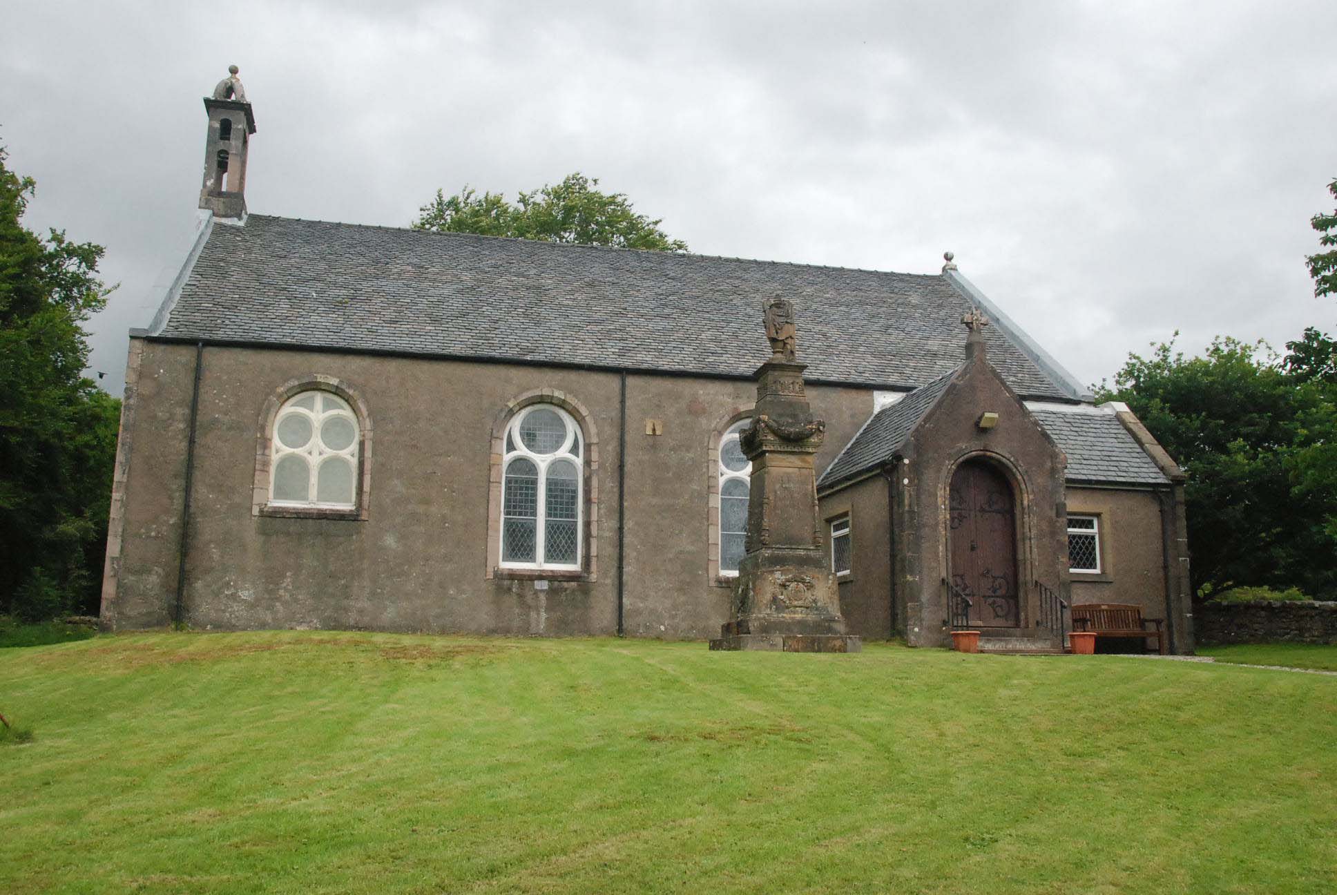
Related Wikis
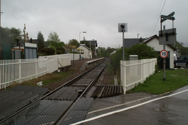
Corpach railway station
Corpach railway station is a railway station serving the village of Corpach in the Highland region of Scotland. This station is on the West Highland Line...
Battle of Corpach
The Battle of Corpach was a Scottish clan battle in which the Clan Cameron routed the Clan Maclean. It took place around 1470 at Corpach, just north of...
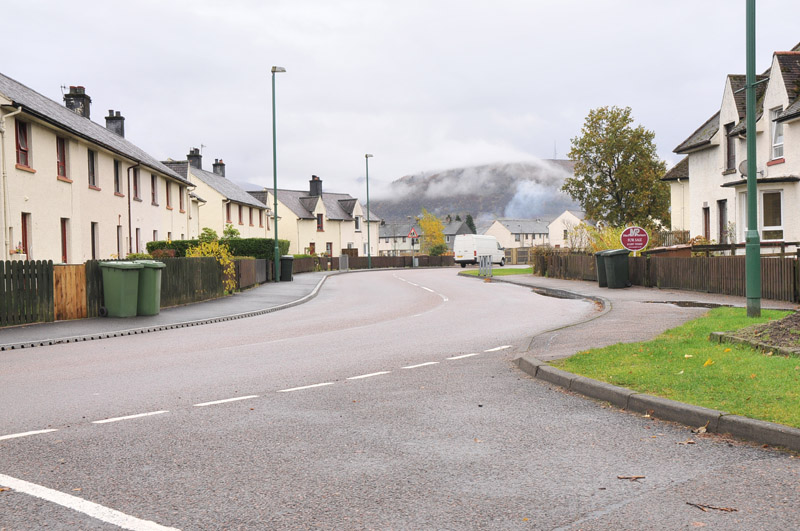
Corpach
Corpach (Scottish Gaelic: A' Chorpaich) is a large village north of Fort William, in the Scottish Highlands. The canal lock at Corpach Basin on Loch Linnhe...
Caol
Caol (Gaelic: An Caol) is a village near Fort William, in the Highland council area of Scotland. It is about 1+1⁄4 miles (2 kilometres) north of Fort William...
Kilmallie
Kilmallie (Scottish Gaelic: Cill Mhàilidh) is a civil parish in Lochaber, in the west highlands of Scotland. It is centered on the village of Caol, near...
Achaphubuil
Achaphubuil (Scottish Gaelic: Achadh a' Phùbaill- the field of the tent or pavilion) is a small settlement to the north of Ardgour in Lochaber, in the...

Banavie Railway Swing Bridge
The Banavie Railway Swing Bridge carries the West Highland Line across the Caledonian Canal at Banavie. == History == Construction of the extension from...

Bun-sgoil Ghàidhlig Loch Abar
Bun-sgoil Ghàidhlig Loch Abar is a Gaelic-medium primary school at Caol near Fort William in Scotland. == History == The school opened August 2015. At...
Nearby Amenities
Located within 500m of 56.841187,-5.1202454Have you been to Breun Chamas?
Leave your review of Breun Chamas below (or comments, questions and feedback).