A'Chorpaich
Settlement in Argyllshire
Scotland
A'Chorpaich

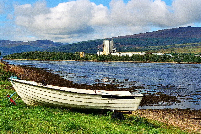
A'Chorpaich is a small village located in Argyllshire, Scotland. Situated on the west coast, it is nestled between the picturesque Loch Fyne and the rolling hills of the Scottish Highlands. With a population of approximately 500 residents, A'Chorpaich offers a tranquil escape from the hustle and bustle of city life.
The village is known for its stunning natural beauty, attracting visitors from far and wide. The surrounding landscape is dominated by lush greenery, with dense forests and meandering rivers. The area is a haven for outdoor enthusiasts, offering a wide range of activities such as hiking, fishing, and birdwatching.
A'Chorpaich boasts a rich history, with evidence of human occupation dating back thousands of years. The village is home to several ancient ruins, including standing stones and burial mounds, which provide a glimpse into its past. Additionally, there are a number of traditional Scottish cottages and buildings that add to the village's charm and character.
Although A'Chorpaich is a small village, it offers a few amenities for both residents and visitors. There is a local pub where one can enjoy a pint of locally brewed ale and engage in friendly conversation with the locals. Additionally, a small grocery store provides essential supplies for those living in the area.
Overall, A'Chorpaich is a hidden gem in Argyllshire, offering a peaceful retreat for nature lovers and history enthusiasts alike. Its stunning natural surroundings and rich cultural heritage make it a must-visit destination for anyone seeking an authentic Scottish experience.
If you have any feedback on the listing, please let us know in the comments section below.
A'Chorpaich Images
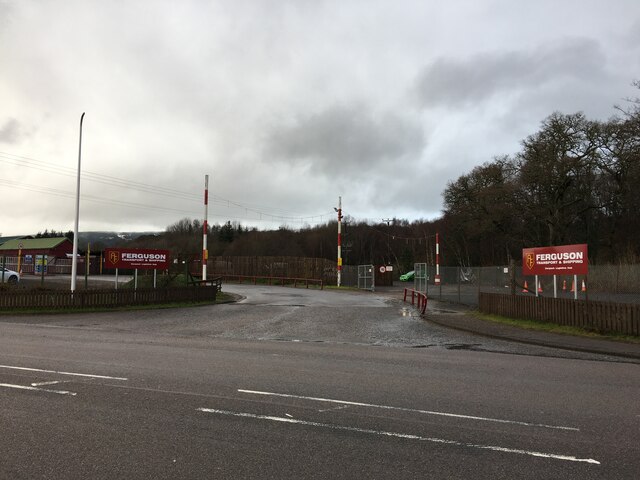
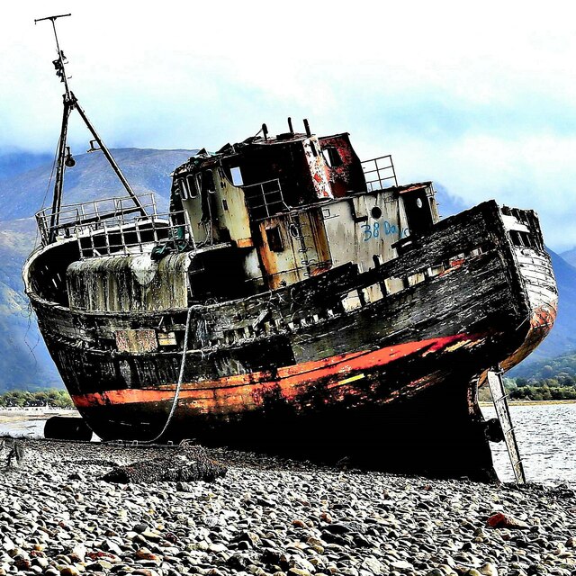
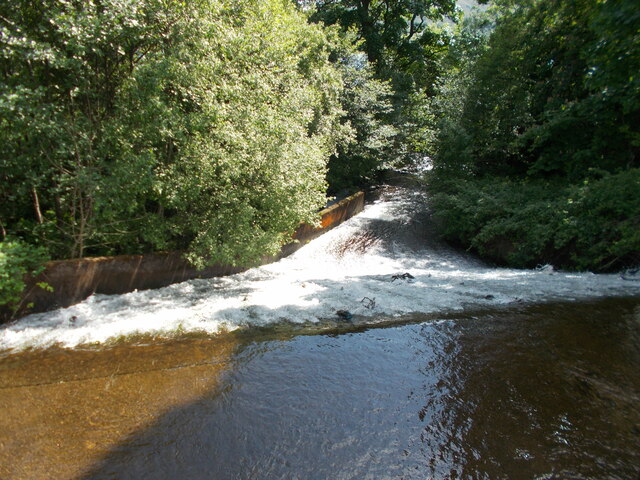
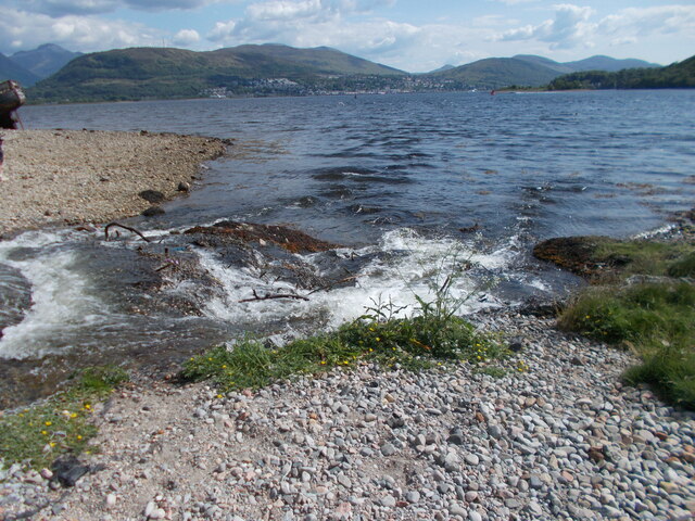
Images are sourced within 2km of 56.843976/-5.124708 or Grid Reference NN0976. Thanks to Geograph Open Source API. All images are credited.


A'Chorpaich is located at Grid Ref: NN0976 (Lat: 56.843976, Lng: -5.124708)
Unitary Authority: Highland
Police Authority: Highlands and Islands
Also known as: Corpach
What 3 Words
///corded.urge.customers. Near Fort William, Highland
Nearby Locations
Related Wikis
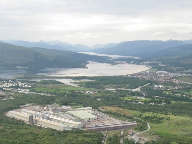
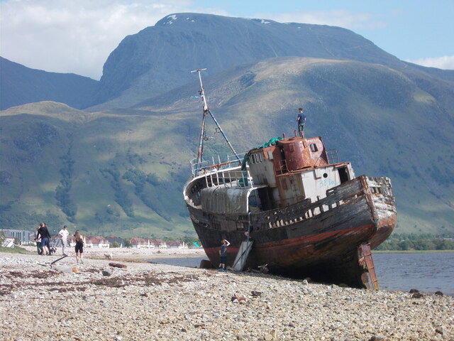
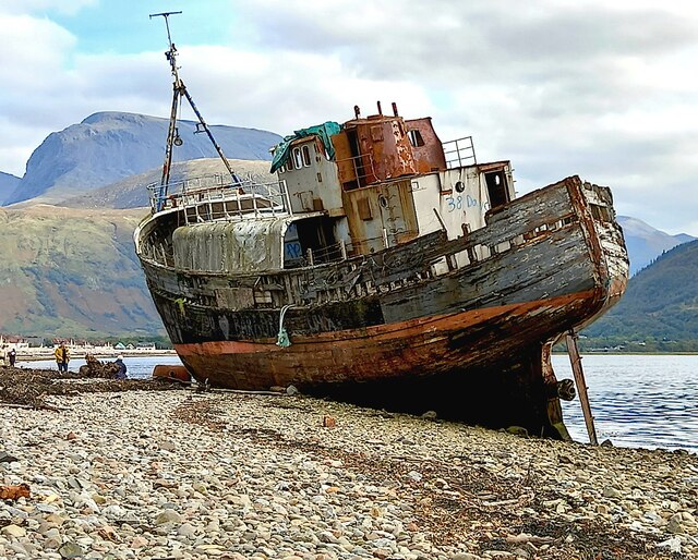
Corpach
Corpach (Scottish Gaelic: A' Chorpaich) is a large village north of Fort William, in the Scottish Highlands. The canal lock at Corpach Basin on Loch Linnhe...
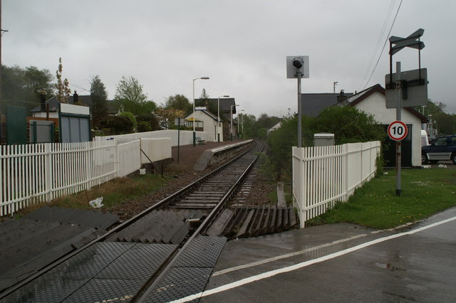
Corpach railway station
Corpach railway station is a railway station serving the village of Corpach in the Highland region of Scotland. This station is on the West Highland Line...
Battle of Corpach
The Battle of Corpach was a Scottish clan battle in which the Clan Cameron routed the Clan Maclean. It took place around 1470 at Corpach, just north of...
Achaphubuil
Achaphubuil (Scottish Gaelic: Achadh a' Phùbaill- the field of the tent or pavilion) is a small settlement to the north of Ardgour in Lochaber, in the...
Nearby Amenities
Located within 500m of 56.843976,-5.124708Have you been to A'Chorpaich?
Leave your review of A'Chorpaich below (or comments, questions and feedback).