Bagalow Beach
Beach in Cornwall
England
Bagalow Beach

The requested URL returned error: 429 Too Many Requests
If you have any feedback on the listing, please let us know in the comments section below.
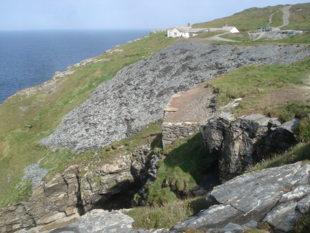
Bagalow Beach Images
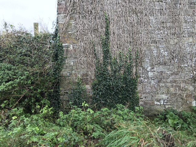
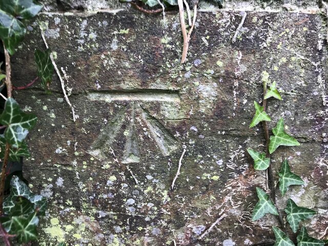
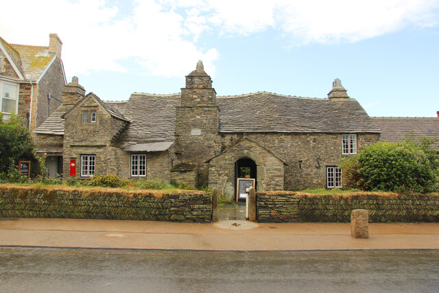
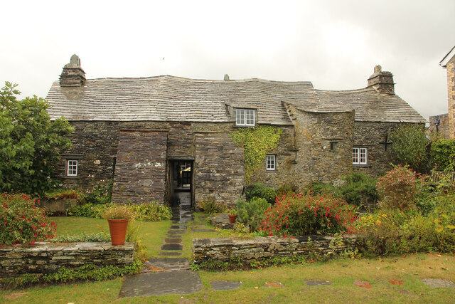
Images are sourced within 2km of 50.654069/-4.7626841 or Grid Reference SX0487. Thanks to Geograph Open Source API. All images are credited.


Bagalow Beach is located at Grid Ref: SX0487 (Lat: 50.654069, Lng: -4.7626841)
Unitary Authority: Cornwall
Police Authority: Devon and Cornwall
What 3 Words
///preparing.material.unfilled. Near Tintagel, Cornwall
Nearby Locations
Related Wikis

Penhallick Wharf
Penhallick Wharf is a disused coastal loading dock between Tintagel Castle and Trebarwith Strand on the north coast of Cornwall in South West England....
Bagalow Quarry
Bagalow Quarry is a disused slate quarry between Tintagel and Trebarwith at Bagalow Cove on the north coast of Cornwall, South West England. The quarry...
Lambshouse and Gull Point Quarry
Lambshouse and Gull Point Quarries are two disused slate quarries between Tintagel and Trebarwith at Lambshouse Cove on the north coast of Cornwall, South...

Lanterdan Quarry
Lanterdan Quarry is a disused open cast slate quarry between Tintagel and Trebarwith on the north coast of Cornwall, South West England. The quarry is...
Nearby Amenities
Located within 500m of 50.654069,-4.7626841Have you been to Bagalow Beach?
Leave your review of Bagalow Beach below (or comments, questions and feedback).