Parson's Beach
Beach in Cornwall
England
Parson's Beach
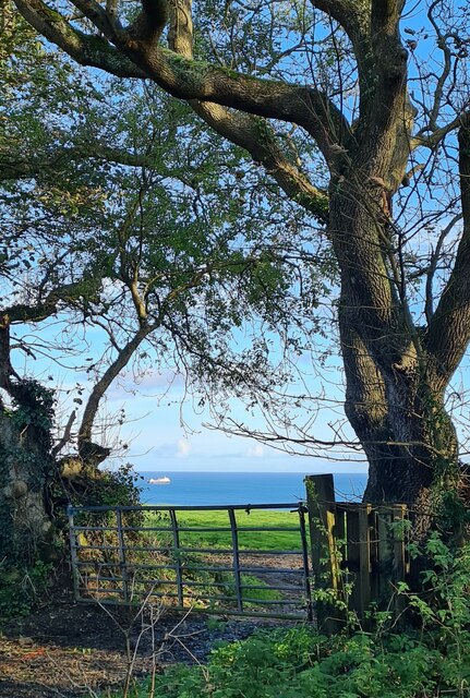
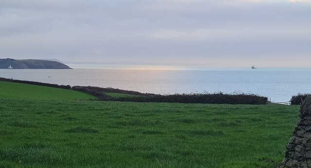
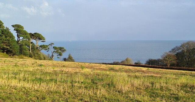
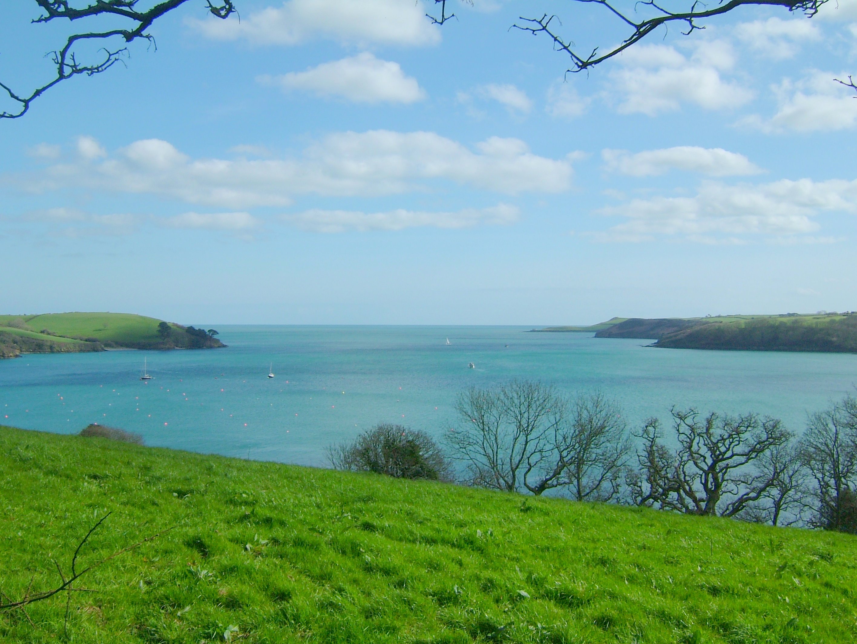
Parson's Beach, located in Cornwall, is a picturesque coastal destination renowned for its natural beauty and tranquility. Situated on the southern coast of England, this stunning beach is nestled between cliffs and offers visitors a serene and peaceful retreat.
The beach itself is characterized by its soft golden sand and crystal-clear turquoise waters. At low tide, the beach stretches out for approximately half a mile, providing ample space for sunbathing, picnicking, and other recreational activities. The surrounding cliffs offer breathtaking views of the ocean and create a sense of seclusion and privacy.
Parson's Beach is known for its clean and well-maintained environment, making it an ideal spot for swimming, snorkeling, and exploring marine life. The calm waters and gentle waves make it a safe place for families and children to enjoy a day by the sea.
Nature enthusiasts will appreciate the coastal vegetation that lines the cliffs, providing a habitat for various seabirds and other wildlife. The beach is also a popular spot for birdwatching, with sightings of gulls, cormorants, and oystercatchers being common.
Access to Parson's Beach is limited, as it is only reachable by foot or by boat. This adds to its charm and ensures a peaceful atmosphere, away from the hustle and bustle of city life. The lack of commercial development further enhances its natural beauty, allowing visitors to truly connect with nature.
Overall, Parson's Beach in Cornwall is a hidden gem, offering visitors a serene and unspoiled coastal experience. Its stunning scenery, clean waters, and peaceful ambiance make it an ideal destination for nature lovers and those seeking a tranquil escape.
If you have any feedback on the listing, please let us know in the comments section below.
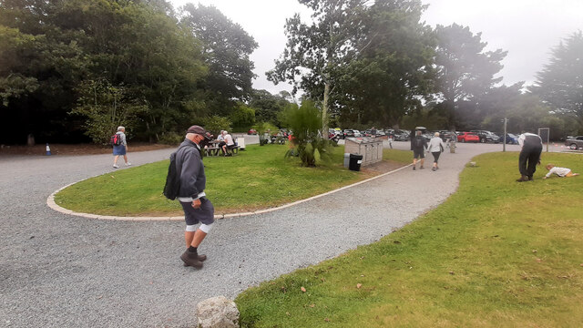
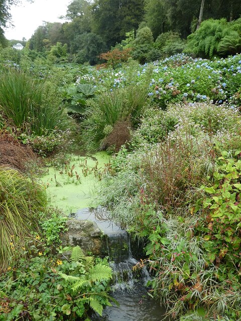
Parson's Beach Images
Images are sourced within 2km of 50.102065/-5.0957269 or Grid Reference SW7827. Thanks to Geograph Open Source API. All images are credited.


Parson's Beach is located at Grid Ref: SW7827 (Lat: 50.102065, Lng: -5.0957269)
Unitary Authority: Cornwall
Police Authority: Devon and Cornwall
What 3 Words
///introduce.boats.wand. Near Falmouth, Cornwall
Nearby Locations
Related Wikis

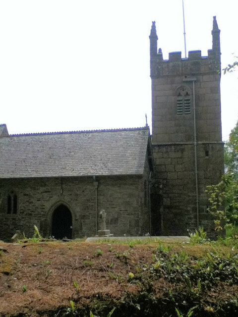
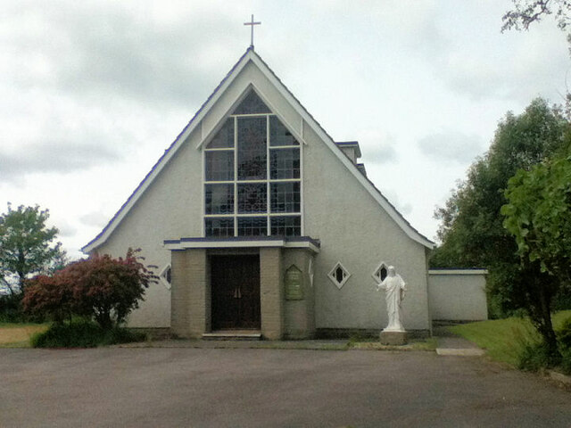
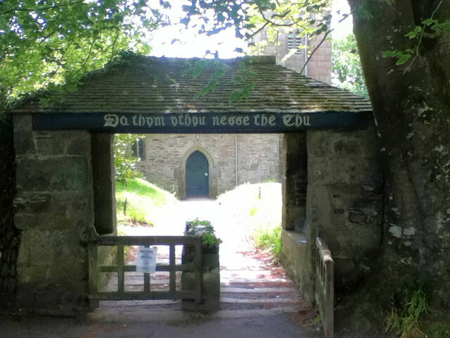
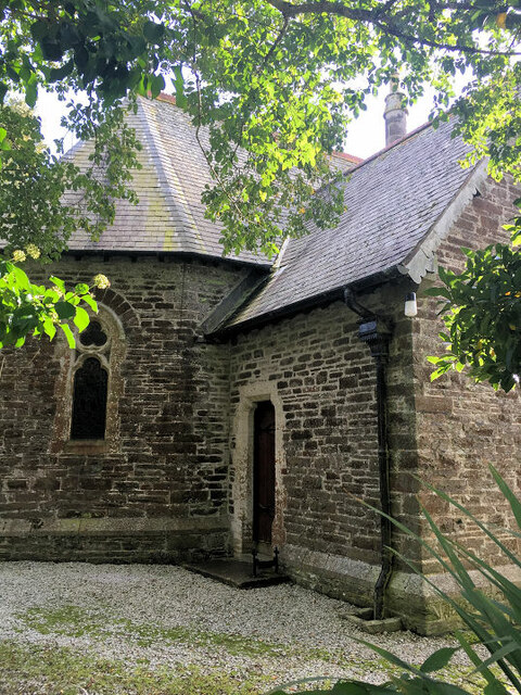
St Mawnan and St Stephen's Church, Mawnan
St Mawnan and St Stephen's Church, Mawnan is a Grade II* listed parish church in the Church of England Diocese of Truro in Mawnan, Cornwall, England, UK...
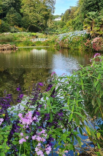
Helford River
The Helford River (Cornish: Dowr Mahonyer) is a ria (flooded river valley) in Cornwall, England, fed by small streams into its many creeks. There are seven...

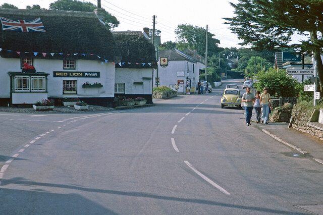
Mawnan
Mawnan (Cornish: Maunan, meaning St Maunan) is a village and civil parish in south Cornwall, England, United Kingdom. It is in the former administrative...

SS Rock Island Bridge
Rock Island Bridge was a steam cargo ship built in 1919 by Submarine Boat Company of Newark for the United States Shipping Board (USSB) as part of the...
Nearby Amenities
Located within 500m of 50.102065,-5.0957269Have you been to Parson's Beach?
Leave your review of Parson's Beach below (or comments, questions and feedback).