Tràigh na Beirgh

Beach in Ross-shire

Scotland

Tràigh na Beirgh
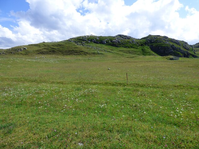
Lazy Beds at Tràigh na Beirigh Ridges formed by hand digging of fields.  These one are unusual in that some of the ridges are lined with small stones.
Lazy Beds at Tràigh na Beirigh Credit: Sandy Gerrard

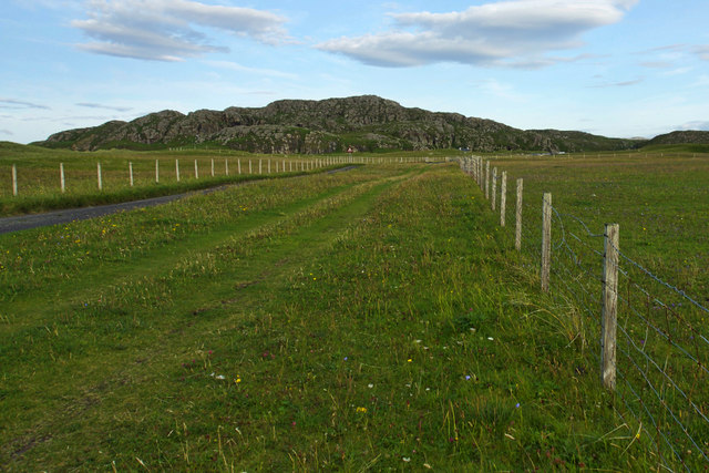
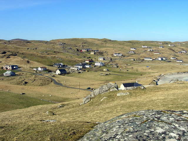
Tràigh na Beirgh, also known as the Beach of the Pigs, is a stunning coastal area located in Ross-shire, Scotland. Situated on the northwest coast of the Scottish Highlands, this secluded beach offers visitors a unique and picturesque experience.

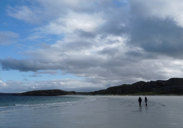
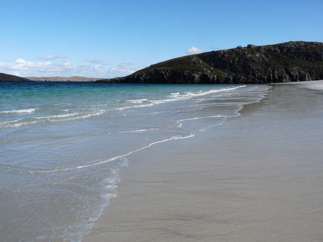
With its pristine white sands and crystal-clear turquoise waters, Tràigh na Beirgh is often described as a hidden gem. The beach is surrounded by rugged cliffs and rolling hills, providing a breathtaking backdrop for those seeking tranquility and natural beauty.

Access to Tràigh na Beirgh is limited, as it can only be reached by foot or by boat. This adds to the sense of seclusion and enhances the feeling of being one with nature. Visitors often embark on a short hike along a coastal trail or take a boat trip to reach the beach, which only adds to the allure and adventure of the experience.

The beach itself is relatively small but offers ample space for sunbathing, picnicking, and exploring. It is also a popular spot for wildlife enthusiasts, as the area is home to a variety of bird species and marine life.

While there are no facilities or amenities on the beach, nearby villages and towns offer accommodation options, restaurants, and shops for visitors to enjoy. Tràigh na Beirgh is a must-visit destination for nature lovers and those seeking a peaceful retreat away from the hustle and bustle of everyday life.

If you have any feedback on the listing, please let us know in the comments section below.

Tràigh na Beirgh Images

Images are sourced within 2km of 58.214785/-6.928648 or Grid Reference NB1035. Thanks to Geograph Open Source API. All images are credited.

Lazy Beds at Tràigh na Beirigh Ridges formed by hand digging of fields.  These one are unusual in that some of the ridges are lined with small stones.
Lazy Beds at Tràigh na Beirigh
Ridges formed by hand digging of fields. These one are unusual in that some of the ridges are lined with small stones.
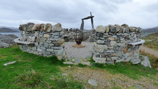
An Sùileachan Monument A monument to the Lewis land clearances <span class="nowrap"><a title="https://bhaltostrust.co.uk/suileachan-project/" rel="nofollow ugc noopener" href="https://bhaltostrust.co.uk/suileachan-project/">Link</a><img style="margin-left:2px;" alt="External link" title="External link - shift click to open in new window" src="https://s1.geograph.org.uk/img/external.png" width="10" height="10"/></span>
An Sùileachan Monument
A monument to the Lewis land clearances LinkExternal link
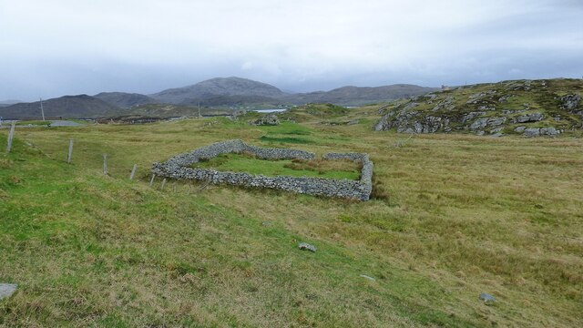
Sheepfold at Riof
Sheepfold at Riof
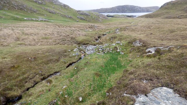
Norse Mill on burn leading from Loch Lionais The mill is very ruinous and survives as a spread of rubble overlying the lower courses of the building.  The leat serving the mill is represented by the bright green stripe.
Norse Mill on burn leading from Loch Lionais
The mill is very ruinous and survives as a spread of rubble overlying the lower courses of the building. The leat serving the mill is represented by the bright green stripe.
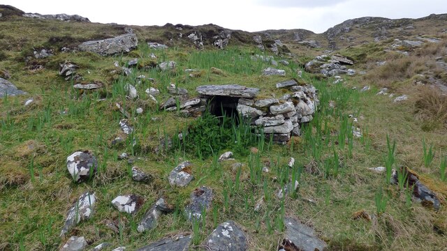
Norse Mill on burn leading from Loch Lionais The lower mill is rather better preserved with the tail race opening still intact.
Norse Mill on burn leading from Loch Lionais
The lower mill is rather better preserved with the tail race opening still intact.
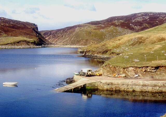
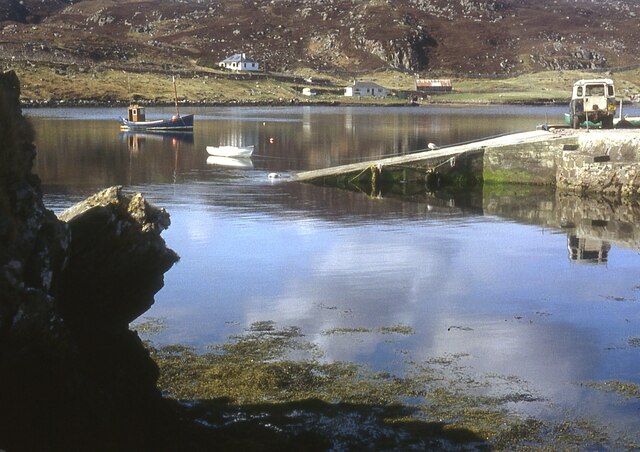
A slipway in Loch Miabhaig
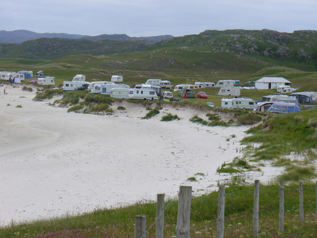
Berie Sands Caravan Park Busy site at Traigh na Beirigh with many caravans parked on the machair above the extensive sands.
Berie Sands Caravan Park
Busy site at Traigh na Beirigh with many caravans parked on the machair above the extensive sands.
A' Bheirigh from Suaineabhal
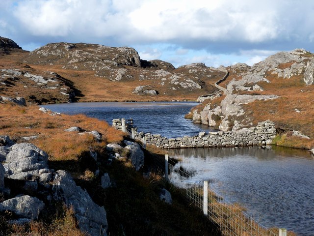
Lochan at Cragavig An old boundary wall snakes across the moorland
Lochan at Cragavig
An old boundary wall snakes across the moorland
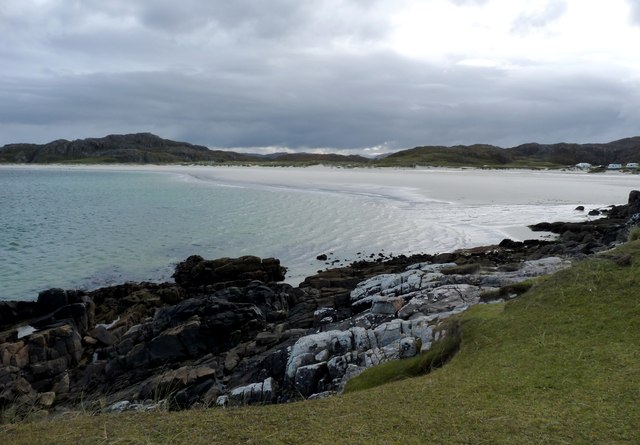
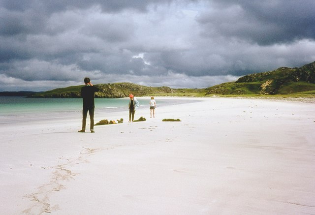
Tràigh na Beirigh In the 1960's this was a deserted beach.  Now it has to be shared with caravanners.
Tràigh na Beirigh
In the 1960's this was a deserted beach. Now it has to be shared with caravanners.
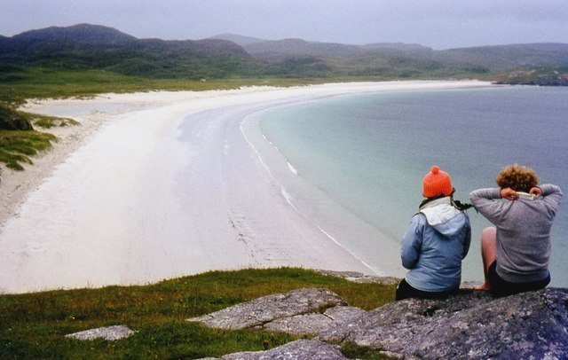
Tràigh na Beirigh A perfect crescent beach
Tràigh na Beirigh
A perfect crescent beach
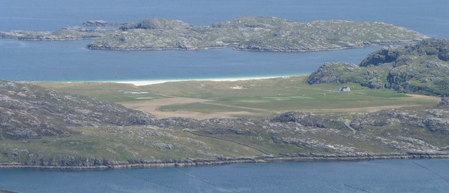
A rocky buttress contains Tràigh na Beirigh
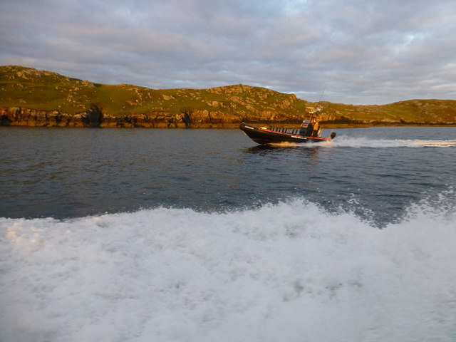
Morning RIB Commute Seatrek worker on morning commute to work at Miabhaig on a RIB. Photo taken from the MV Lochlann.
Morning RIB Commute
Seatrek worker on morning commute to work at Miabhaig on a RIB. Photo taken from the MV Lochlann.
Traigh na Berie
Traigh na Berie
Tràigh na Beirigh from the east
A' Bheirigh
A' Bheirigh
Show me another place!

Tràigh na Beirgh is located at Grid Ref: NB1035 (Lat: 58.214785, Lng: -6.928648)

Unitary Authority: Na h-Eileanan an Iar

Police Authority: Highlands and Islands

What 3 Words

///glory.conqueror.galloping. Near Carloway, Na h-Eileanan Siar

Related Wikis

Loch na Berie

Loch Na Berie is a broch in the Outer Hebrides of Scotland, located approximately 400 yards from the shore, and is thought to have been located on an island...

Kneep

Kneep (Scottish Gaelic: Cnìp) is a village on the Isle of Lewis, in the Outer Hebrides, Scotland. Kneep is within the parish of Uig.Various archaeological...

Vacsay

Vacsay (Scottish Gaelic: Bhacsaigh from Old Norse "bakkiey" meaning "peat bank island") is one of the Outer Hebrides. It is off the west coast of Lewis...

Pabaigh Mòr

Pabay Mòr or Pabaigh Mòr is an uninhabited island in the Outer Hebrides of Scotland. == History == The island's name comes from papey, an Old Norse name...

Nearby Amenities

Located within 500m of 58.214785,-6.928648
Barrier: cattle_grid
Lat/Long: 58.2149732/-6.9344801
Parking
Access: permissive
Lat/Long: 58.2117586/-6.9272862
Parking
Capacity: 4
Opening Hours: sunrise-sunset
Surface: grass
Lat/Long: 58.2158326/-6.9363052
Barrier: entrance
Foot: yes
Lat/Long: 58.2158777/-6.9362659
Power: pole
Lat/Long: 58.2104203/-6.9270461
Power: pole
Lat/Long: 58.210475/-6.9281656
The data included in this document is from www.openstreetmap.org. The data is made available under ODbL.

Have you been to Tràigh na Beirgh?

Leave your review of Tràigh na Beirgh below (or comments, questions and feedback).