Oitir Mhòr

Beach in Inverness-shire

Scotland

Oitir Mhòr
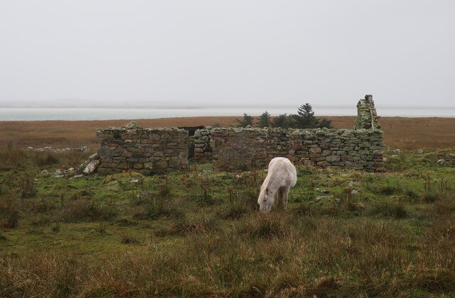
Pony and ruin, Carinish
Pony and ruin, Carinish Credit: Hugh Venables

The requested URL returned error: 429 Too Many Requests

If you have any feedback on the listing, please let us know in the comments section below.

Oitir Mhòr Images

Images are sourced within 2km of 57.498184/-7.3180038 or Grid Reference NF8157. Thanks to Geograph Open Source API. All images are credited.
Pony and ruin, Carinish
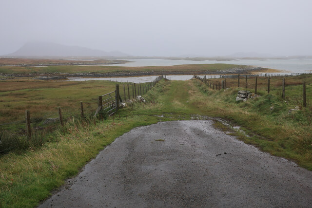
End of the road at Àird Mhòr
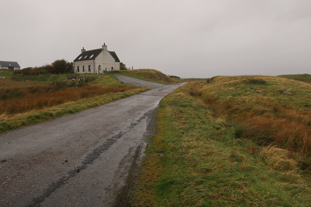
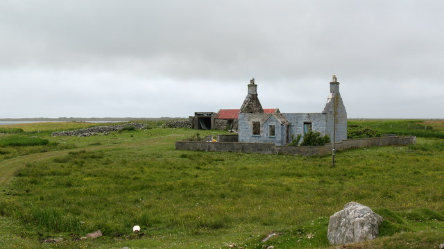
House at Carinish
House at Carinish
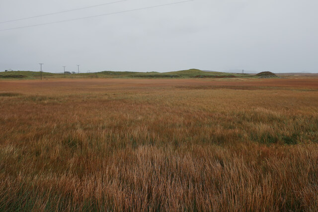
Marshy area at Carinish Seemingly a naturally infilled loch.
Marshy area at Carinish
Seemingly a naturally infilled loch.
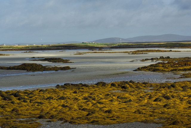
Oitir Mhòr
Oitir Mhòr
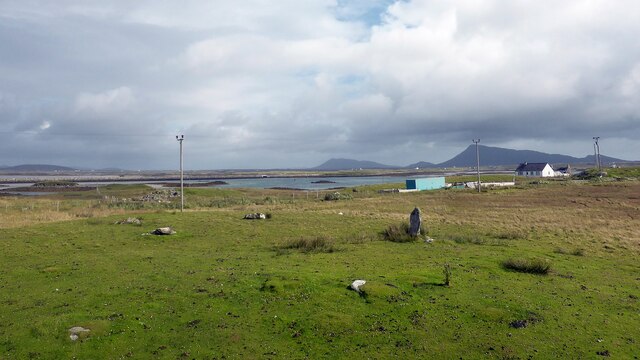
Gramisdale stone circle Rather mutilated prehistoric stone circle. <span class="nowrap"><a title="https://canmore.org.uk/site/10186/benbecula-gramisdale" rel="nofollow ugc noopener" href="https://canmore.org.uk/site/10186/benbecula-gramisdale">Link</a><img style="margin-left:2px;" alt="External link" title="External link - shift click to open in new window" src="https://s1.geograph.org.uk/img/external.png" width="10" height="10"/></span>
Gramisdale stone circle
Rather mutilated prehistoric stone circle. LinkExternal link
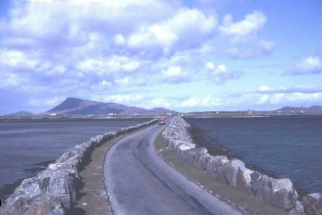
Causeway between Grimsay and Benbecula
North Ford Causeway On the north edge of Benbecula, the modern causeway leads across the Oitir Mhor to Grimsay and North Uist.
<span class="nowrap"><a title="http://www.isle-of-benbecula.co.uk/" rel="nofollow ugc noopener" href="http://www.isle-of-benbecula.co.uk/">Link</a><img style="margin-left:2px;" alt="External link" title="External link - shift click to open in new window" src="https://s1.geograph.org.uk/img/external.png" width="10" height="10"/></span>
North Ford Causeway
On the north edge of Benbecula, the modern causeway leads across the Oitir Mhor to Grimsay and North Uist. LinkExternal link
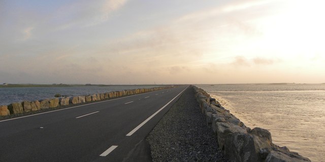
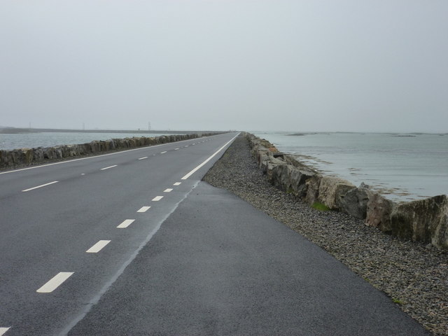
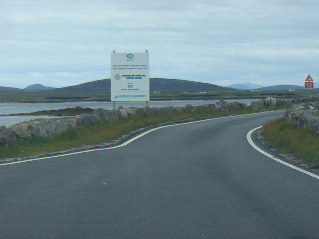
North Ford Causeway Looking towards Benbecula along the causeway, which has recently been strengthened and widened to take a double lane road.
North Ford Causeway
Looking towards Benbecula along the causeway, which has recently been strengthened and widened to take a double lane road.
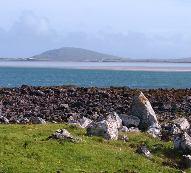
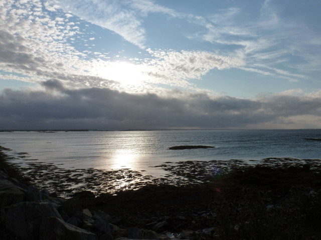
Shoreline at Rubha nan Ròn Standing on a small area of grass and rock that juts out into this square and the channels between North Uist and Benbecula. In the distance is Ruabhal, the only hill of any note on Benbecula.
Shoreline at Rubha nan Ròn
Standing on a small area of grass and rock that juts out into this square and the channels between North Uist and Benbecula. In the distance is Ruabhal, the only hill of any note on Benbecula.
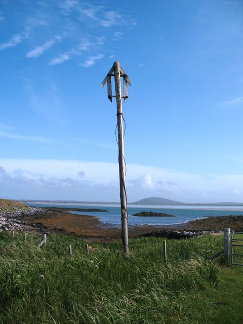
Old marker post by the shore This decaying item looks as though it once served to indicate the landward end of a cable linking the islands.
Old marker post by the shore
This decaying item looks as though it once served to indicate the landward end of a cable linking the islands.
Gramsdale: North Ford Causeway The A865 crosses from the island of Grimsay to Benbecula by way of this causeway, which has recently been upgraded from a single-carriageway road with passing places.
Gramsdale: North Ford Causeway
The A865 crosses from the island of Grimsay to Benbecula by way of this causeway, which has recently been upgraded from a single-carriageway road with passing places.
Grimsay: view alongside the North Ford Causeway Looking alongside the causeway linking the islands of Benbecula and Grimsay.
Grimsay: view alongside the North Ford Causeway
Looking alongside the causeway linking the islands of Benbecula and Grimsay.
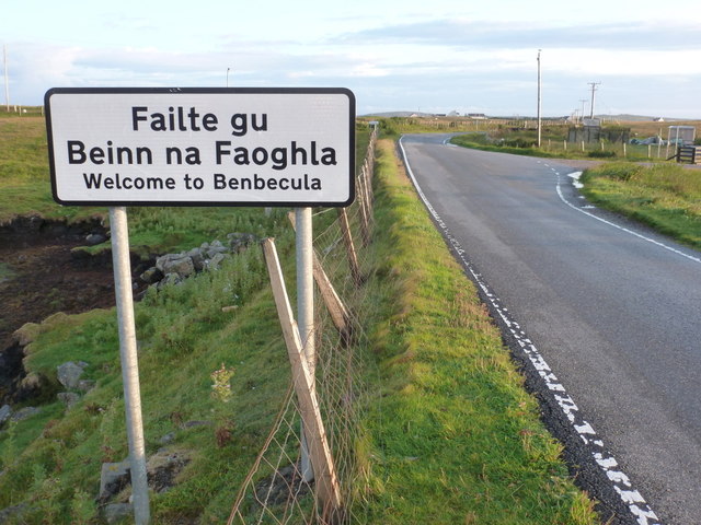
Gramsdale: Welcome to Benbecula A bilingual welcome to motorists travelling southward on the A865 as they arrive on the isle of Benbecula on the causeway from Grimsay.
Gramsdale: Welcome to Benbecula
A bilingual welcome to motorists travelling southward on the A865 as they arrive on the isle of Benbecula on the causeway from Grimsay.
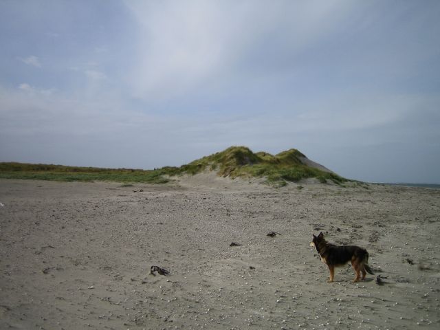
Sand Dunes View from the east of beach and sand dunes to the north of Benbecula airport.
Sand Dunes
View from the east of beach and sand dunes to the north of Benbecula airport.
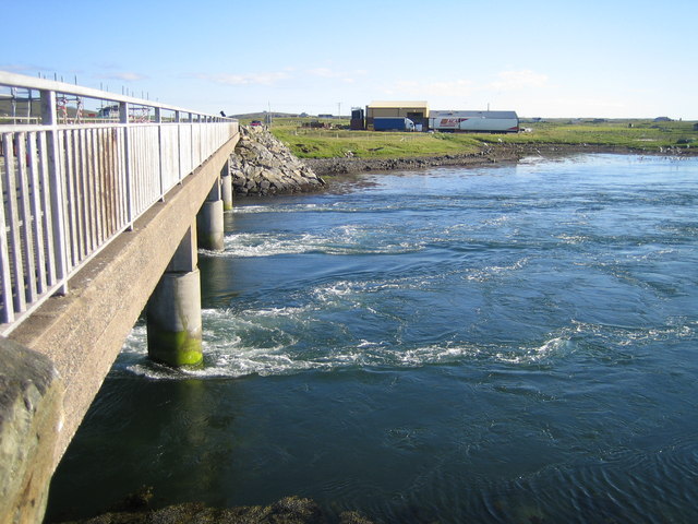
North Ford, Benbecula Bridge over the North Ford between Benbecula and North Uist, not safe for swimming!
North Ford, Benbecula
Bridge over the North Ford between Benbecula and North Uist, not safe for swimming!
Road to Aird Mhor Near the end of a minor road on the peninsula of Cairinis. A typical Hebridean tree at the roadside with a few branches on one side only.
Road to Aird Mhor
Near the end of a minor road on the peninsula of Cairinis. A typical Hebridean tree at the roadside with a few branches on one side only.
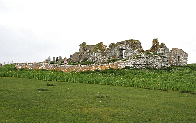
Ruin at Bail Lochdrach One of many ruined buildings in the Western Isles. This one still has an imposing gateway and drive, but the house is a complete ruin.
Ruin at Bail Lochdrach
One of many ruined buildings in the Western Isles. This one still has an imposing gateway and drive, but the house is a complete ruin.
Show me another place!

Oitir Mhòr is located at Grid Ref: NF8157 (Lat: 57.498184, Lng: -7.3180038)

Unitary Authority: Na h-Eileanan an Iar

Police Authority: Highlands and Islands

What 3 Words

///gymnasium.toasted.manuals. Near Balivanich, Na h-Eileanan Siar

Related Wikis

Bail' Iochdrach

Bail' Iochdrach or Baliochrach (Scottish Gaelic: Am Baile Ìochdrach) is a village on Benbecula in the Outer Hebrides, Scotland. Baliochrach is within the...

Teampull na Trionaid

Teampull na Trionaid ("trinity church") is a ruined 13th-century Augustinian nunnery at Carinish, on North Uist, in the Outer Hebrides of Scotland. �...

Uachdar

Uachdar (Scottish Gaelic: An t-Uachdar [ən̪ˠ ˈt̪ʰuəxkəɾ]) is a settlement on the Outer Hebridean Island of Benbecula. Uachdar is within the parish of South...

Carinish

Carinish (Scottish Gaelic: Càirinis), is a hamlet on North Uist, in the Outer Hebrides, Scotland. It is in the south of the island, about two miles (three...

Have you been to Oitir Mhòr?

Leave your review of Oitir Mhòr below (or comments, questions and feedback).