Outer Hebrides
Island Group in Inverness-shire / Ross-shire
Scotland
Outer Hebrides

The requested URL returned error: 429 Too Many Requests
If you have any feedback on the listing, please let us know in the comments section below.
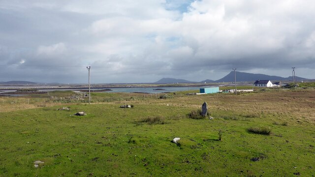
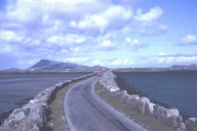
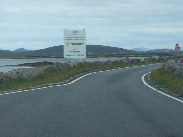
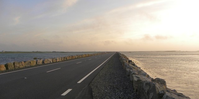
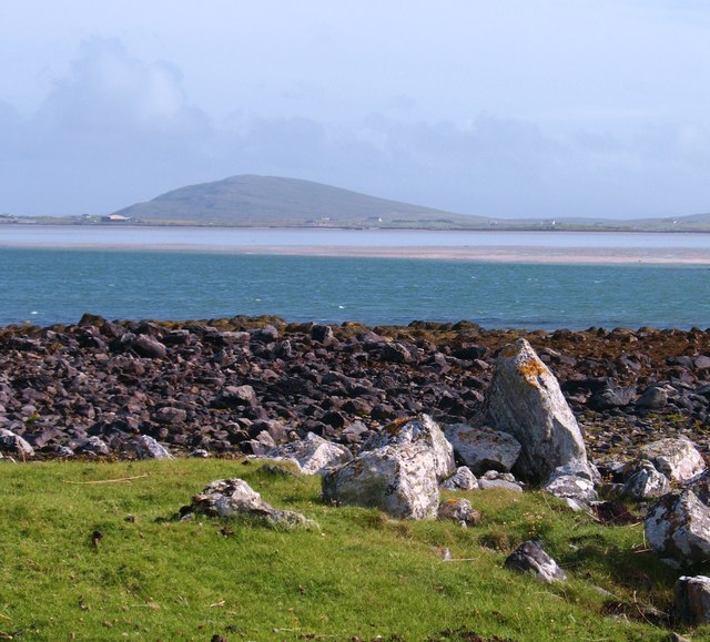
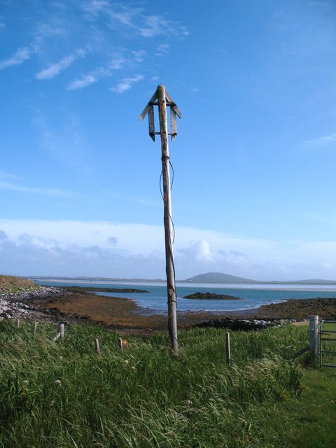
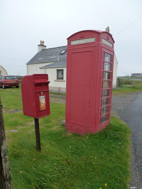
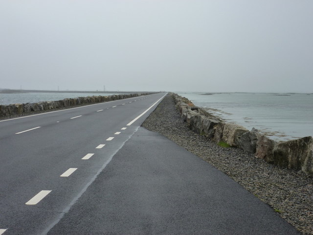
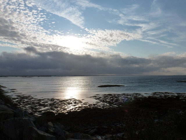
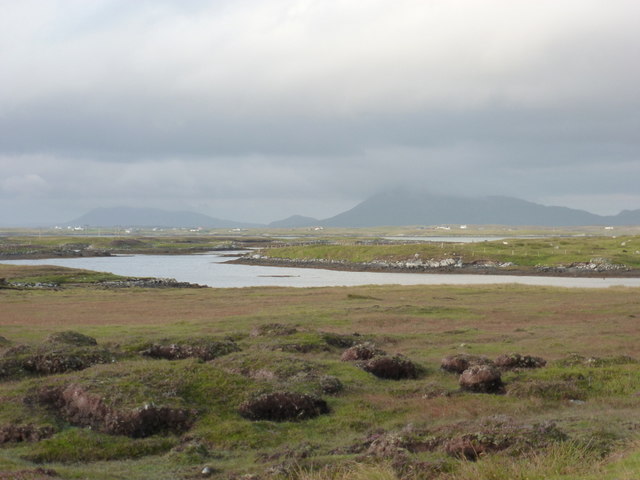
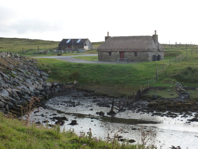
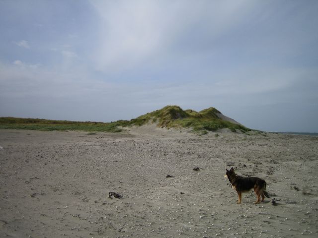
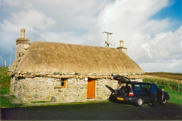
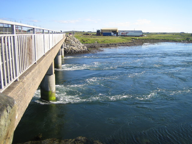
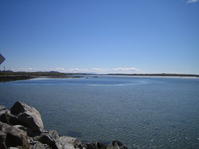
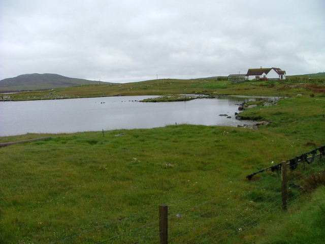
Outer Hebrides Images
Images are sourced within 2km of 57.493233/-7.3127027 or Grid Reference NF8157. Thanks to Geograph Open Source API. All images are credited.
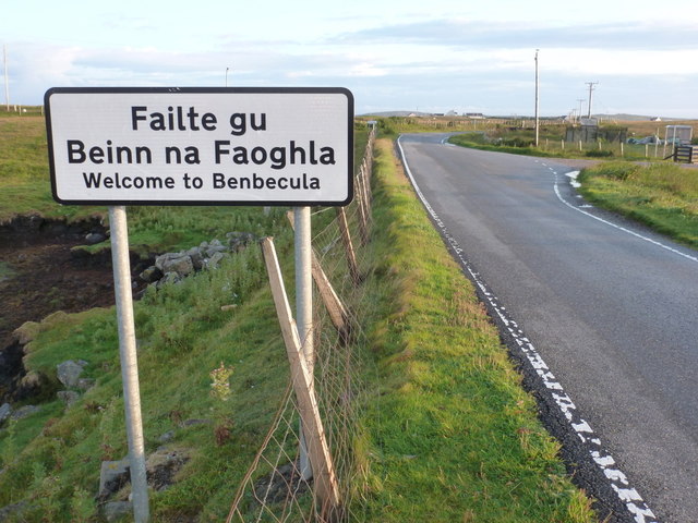
Outer Hebrides is located at Grid Ref: NF8157 (Lat: 57.493233, Lng: -7.3127027)
Unitary Authority: Na h-Eileanan an Iar
Police Authority: Highlands and Islands
Also known as: Western Isles
What 3 Words
///desire.enclosing.roses. Near Balivanich, Na h-Eileanan Siar
Nearby Locations
Related Wikis

Uachdar
Uachdar (Scottish Gaelic: An t-Uachdar [ən̪ˠ ˈt̪ʰuəxkəɾ]) is a settlement on the Outer Hebridean Island of Benbecula. Uachdar is within the parish of South...

Bail' Iochdrach
Bail' Iochdrach or Baliochrach (Scottish Gaelic: Am Baile Ìochdrach) is a village on Benbecula in the Outer Hebrides, Scotland. Baliochrach is within the...

Baile Glas
Baile Glas or Ballaglasa (Scottish Gaelic: Am Baile Glas) is a settlement on Grimsay in the Outer Hebrides, Scotland. Ballaglasa is within the parish of...

Teampull na Trionaid
Teampull na Trionaid ("trinity church") is a ruined 13th-century Augustinian nunnery at Carinish, on North Uist, in the Outer Hebrides of Scotland. �...
Have you been to Outer Hebrides?
Leave your review of Outer Hebrides below (or comments, questions and feedback).