Porth Crugmor
Bay in Anglesey
Wales
Porth Crugmor
The requested URL returned error: 429 Too Many Requests
If you have any feedback on the listing, please let us know in the comments section below.
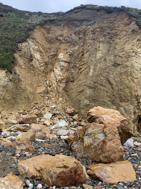
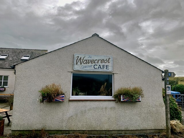
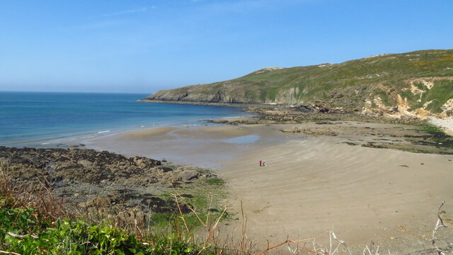
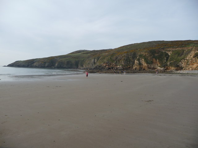
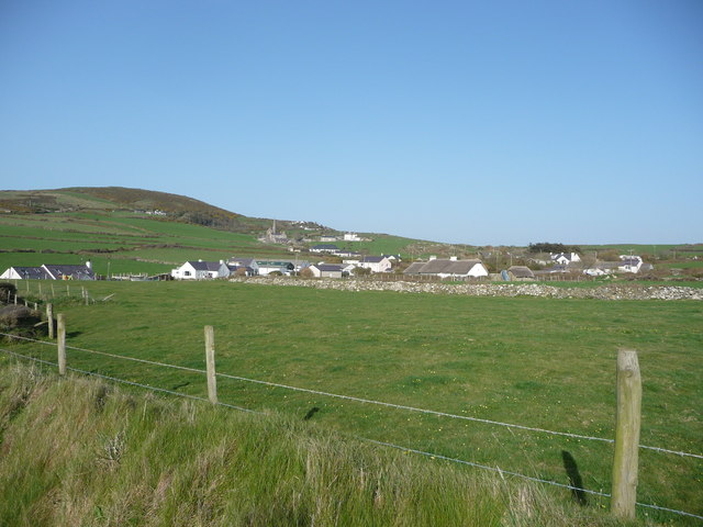
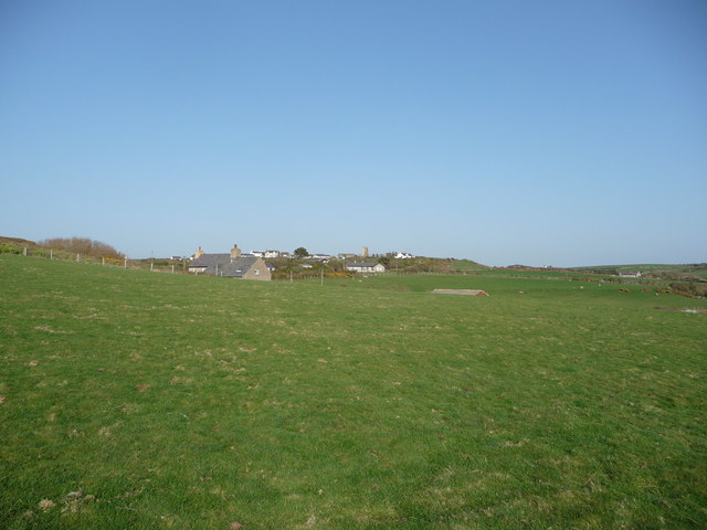
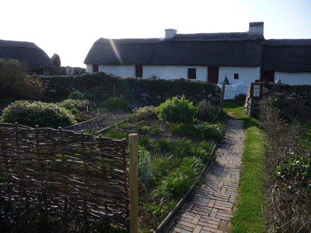
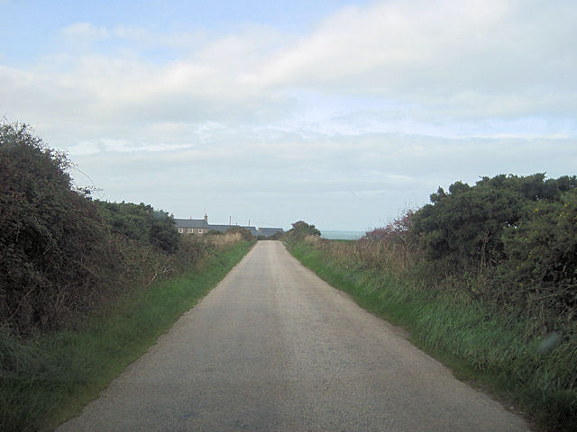
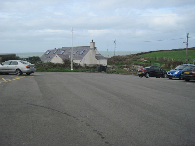
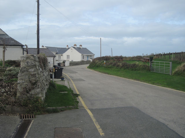
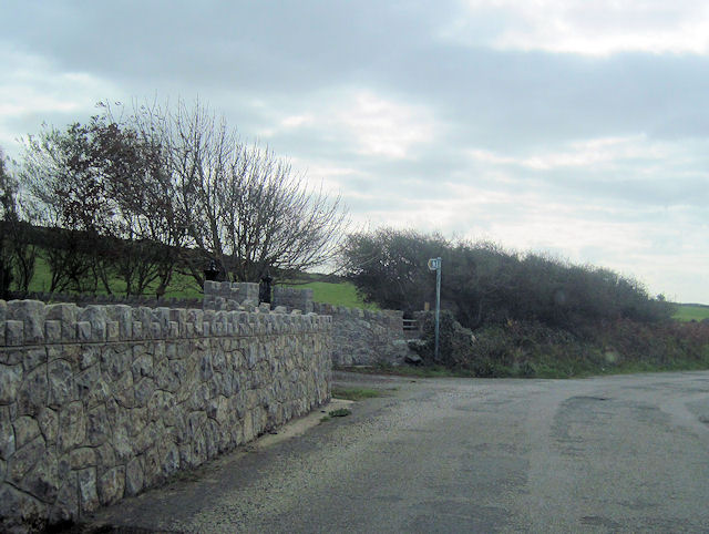
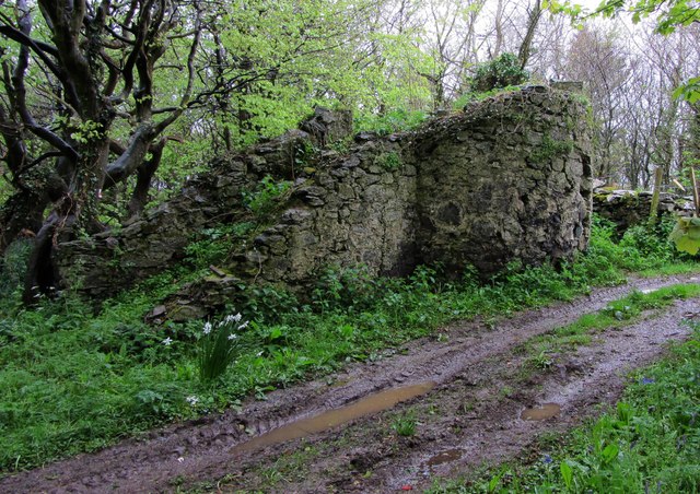
Porth Crugmor Images
Images are sourced within 2km of 53.366802/-4.5581758 or Grid Reference SH2988. Thanks to Geograph Open Source API. All images are credited.


Porth Crugmor is located at Grid Ref: SH2988 (Lat: 53.366802, Lng: -4.5581758)
Unitary Authority: Isle of Anglesey
Police Authority: North Wales
Also known as: Cable Bay
What 3 Words
///best.cello.fidgeted. Near Llanfaethlu, Isle of Anglesey
Nearby Locations
Related Wikis
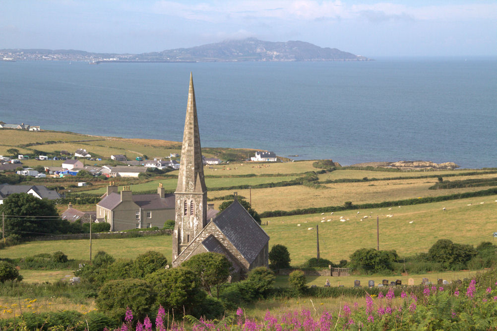
Church Bay, Anglesey
Church Bay (Welsh: Porth Swtan) is a settlement on the north-west coast of Anglesey, Wales, United Kingdom, about a mile and a half north-west of the...

Carreglwyd
Carreglwyd is a Georgian country house, on the northwest of the Isle of Anglesey, about 1 km NW of Llanfaethlu in Wales, at grid reference SH309878. "Carreglwyd...

Clegir Mawr
Clegir Mawr is a Site of Special Scientific Interest (SSSI) in the community of Cylch-y-Garn in the north-west of the island of Anglesey, Wales. It is...

Rhydwyn
Rhydwyn (; Rhyd-Wyn) is a village in the community of Cylch-y-Garn, in the north west of Anglesey, Wales. Rhydwyn is named after a little stream that once...
Nearby Amenities
Located within 500m of 53.366802,-4.5581758Have you been to Porth Crugmor?
Leave your review of Porth Crugmor below (or comments, questions and feedback).