Porth Penrhyn

Bay in Anglesey

Wales

Porth Penrhyn

Rockfall at Porth Swtan A considerable chunk of the cliff at the back of Porth Swtan (Church Bay) beach has collapsed.
Rockfall at Porth Swtan Credit: Mike Parker

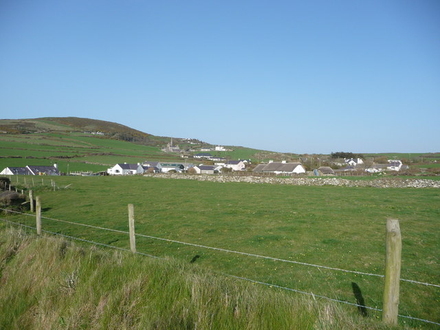
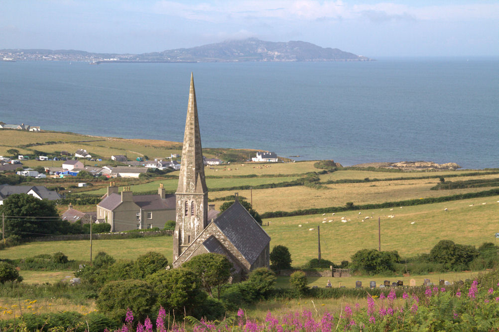
Porth Penrhyn, located on the northern coast of the Isle of Anglesey in Wales, is a picturesque bay renowned for its natural beauty and historical significance. The bay is situated just west of the city of Bangor and is surrounded by stunning cliffs and rolling hills.

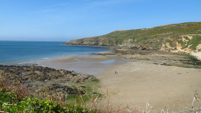
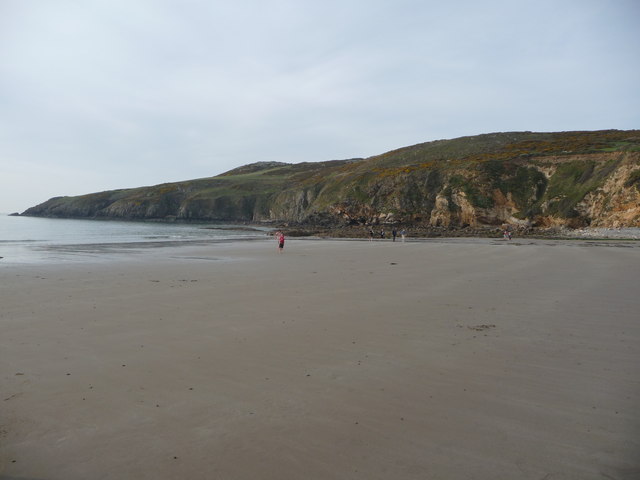
The bay is known for its sandy beach, which stretches for approximately half a mile. The beach is a popular spot for sunbathing, picnicking, and enjoying a refreshing swim in the clear blue waters of the Irish Sea. At low tide, the beach expands, revealing vast stretches of golden sands that are perfect for leisurely walks and exploring.

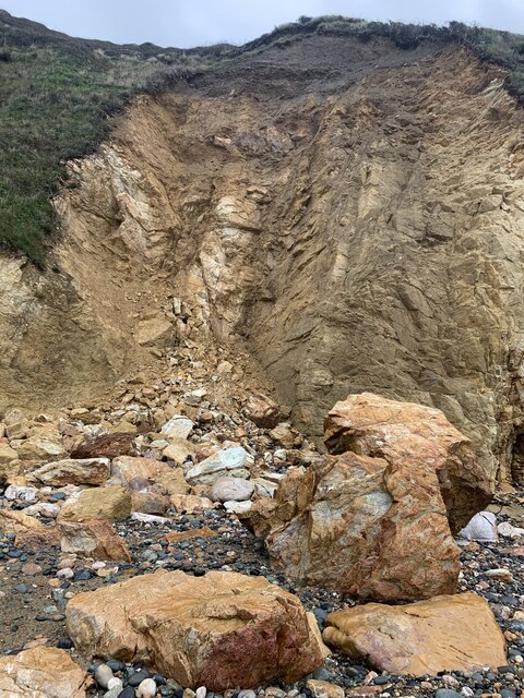
Porth Penrhyn is also home to a small harbor, which was historically used for shipping slate from the nearby Penrhyn Quarry. The harbor played a significant role in the industrial history of the region and is now primarily used by pleasure boats and small fishing vessels.

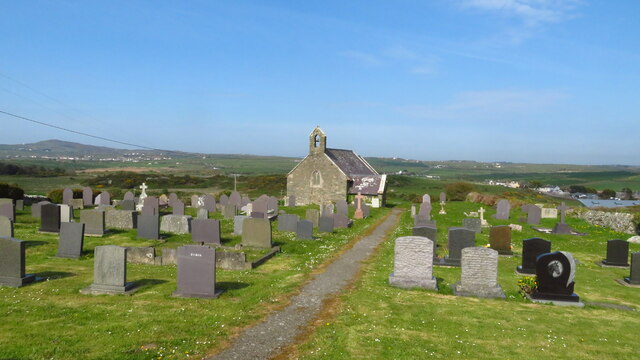
The bay offers breathtaking views of the Anglesey coastline, with the Snowdonia mountains visible in the distance. Visitors can take advantage of the various footpaths and hiking trails that surround the bay, providing opportunities for exploration and wildlife spotting.

Overall, Porth Penrhyn is a tranquil and picturesque bay that offers a combination of natural beauty, historical significance, and recreational activities. It is a must-visit destination for nature lovers, history enthusiasts, and those seeking a peaceful escape on the Isle of Anglesey.

If you have any feedback on the listing, please let us know in the comments section below.

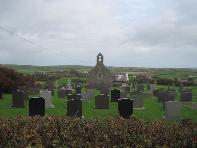
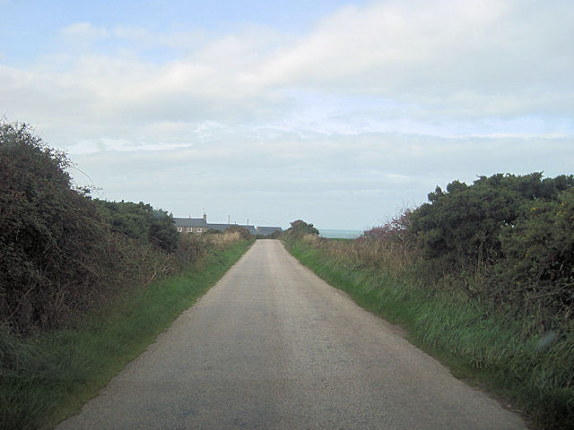
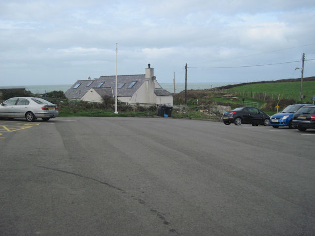
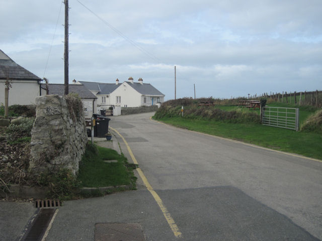
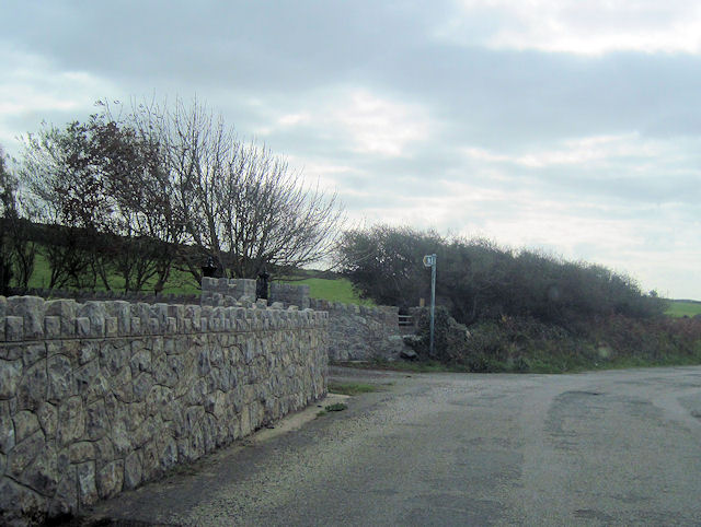
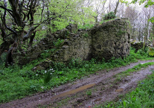
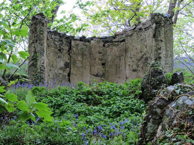
Porth Penrhyn Images

Images are sourced within 2km of 53.365384/-4.5593384 or Grid Reference SH2988. Thanks to Geograph Open Source API. All images are credited.

Rockfall at Porth Swtan A considerable chunk of the cliff at the back of Porth Swtan (Church Bay) beach has collapsed.
Rockfall at Porth Swtan
A considerable chunk of the cliff at the back of Porth Swtan (Church Bay) beach has collapsed.
Wavecrest Café, Porth Swtan Closed now for the season.
Wavecrest Café, Porth Swtan
Closed now for the season.
Church Bay near Rhydwyn, Anglesey
Llanfaethlu - St Maethlu's Church
The sands of Church Bay / Porth Swtan, Anglesey Porth Swtan or Church Bay is a gem of a sandy cove with  a large-ish expanse of flat firm sand at low tide.
The sands of Church Bay / Porth Swtan, Anglesey
Porth Swtan or Church Bay is a gem of a sandy cove with a large-ish expanse of flat firm sand at low tide.
Campsite above Church Bay / Porth Swtan Porth Swtan gets its name from the thatched whitewashed building seen here adjacent to this campsite, a rare survivor and the last thatched building on Anglesey, called Swtan. The campsite is ideally located next to coastal paths and a short walk from the sandy bay.
Campsite above Church Bay / Porth Swtan
Porth Swtan gets its name from the thatched whitewashed building seen here adjacent to this campsite, a rare survivor and the last thatched building on Anglesey, called Swtan. The campsite is ideally located next to coastal paths and a short walk from the sandy bay.
Barbed wire fence beside the coastal path The coastal path here borders fields adjacent to the Swtan, the last surviving thatched dwelling on Anglesey, a tyddyn or smallholding lived in until the 1960's, when its old roof beams collapsed and since when it has been restored as a museum.
Barbed wire fence beside the coastal path
The coastal path here borders fields adjacent to the Swtan, the last surviving thatched dwelling on Anglesey, a tyddyn or smallholding lived in until the 1960's, when its old roof beams collapsed and since when it has been restored as a museum.
Ruined windmill inland of the coastal path The tower of this old windmill stands out inland of the path.
Ruined windmill inland of the coastal path
The tower of this old windmill stands out inland of the path.
The last thatched cottage on Anglesey at Porth Swtan This building now serves as a folk museum, recreating the tyddyn or smallholding plot held by a family here before its dereliction in the 1960's.
The last thatched cottage on Anglesey at Porth Swtan
This building now serves as a folk museum, recreating the tyddyn or smallholding plot held by a family here before its dereliction in the 1960's.
The frontage of Swtan thatched tyddyn at Church Bay The main building is whitewashed and restored along with this outbuilding and the vegetable garden.
The frontage of Swtan thatched tyddyn at Church Bay
The main building is whitewashed and restored along with this outbuilding and the vegetable garden.
Recreated vegetable garden at Swtan This thatched cottage and its immediate plot recreates life for the past residents, with a sheltered plot here for basic staple foods such as spuds, beans and other veg. It is maintained by local Women's Institute volunteers I believe.
Recreated vegetable garden at Swtan
This thatched cottage and its immediate plot recreates life for the past residents, with a sheltered plot here for basic staple foods such as spuds, beans and other veg. It is maintained by local Women's Institute volunteers I believe.
Eglwys Sant Maethlu, Llanfaethlu
Long straight road to Cilmaenan
Car Park at Church Bay
Lane down to shore at Church Bay From Car Park
Lane down to shore at Church Bay
From Car Park
Road past Parcnewydd Start of footpath can be seen. Between Grugmor and Borthwen
Road past Parcnewydd
Start of footpath can be seen. Between Grugmor and Borthwen
Carreglwyd Folly This dilapidated folly was a viewing platform with steps leading up. The views across to Holyhead are now obscured by trees
Carreglwyd Folly
This dilapidated folly was a viewing platform with steps leading up. The views across to Holyhead are now obscured by trees
Carreglwyd Seat This Folly had a round roof and seating and was used by Lady Reade to "take Tea" in the grounds of Carreglwyd House
Carreglwyd Seat
This Folly had a round roof and seating and was used by Lady Reade to "take Tea" in the grounds of Carreglwyd House
Show me another place!

Porth Penrhyn is located at Grid Ref: SH2988 (Lat: 53.365384, Lng: -4.5593384)

Unitary Authority: Isle of Anglesey

Police Authority: North Wales

What 3 Words

///onwards.glassware.sprinkle. Near Llanfaethlu, Isle of Anglesey

Related Wikis

Church Bay, Anglesey

Church Bay (Welsh: Porth Swtan) is a settlement on the north-west coast of Anglesey, Wales, United Kingdom, about a mile and a half north-west of the...

Carreglwyd

Carreglwyd is a Georgian country house, on the northwest of the Isle of Anglesey, about 1 km NW of Llanfaethlu in Wales, at grid reference SH309878. "Carreglwyd...

Clegir Mawr

Clegir Mawr is a Site of Special Scientific Interest (SSSI) in the community of Cylch-y-Garn in the north-west of the island of Anglesey, Wales. It is...

Rhydwyn

Rhydwyn (; Rhyd-Wyn) is a village in the community of Cylch-y-Garn, in the north west of Anglesey, Wales. Rhydwyn is named after a little stream that once...

Nearby Amenities

Located within 500m of 53.365384,-4.5593384
Barrier: kissing_gate
Lat/Long: 53.3673526/-4.5570522
Barrier: kissing_gate
Lat/Long: 53.3669505/-4.5568521
Barrier: kissing_gate
Lat/Long: 53.3661344/-4.5568909
Barrier: kissing_gate
Lat/Long: 53.3654062/-4.5575388
Porth Tyddyn-uchaf
Natural: beach
Lat/Long: 53.3689547/-4.5579616
The data included in this document is from www.openstreetmap.org. The data is made available under ODbL.

Have you been to Porth Penrhyn?

Leave your review of Porth Penrhyn below (or comments, questions and feedback).