Wheelers Bay
Bay in Hampshire
England
Wheelers Bay
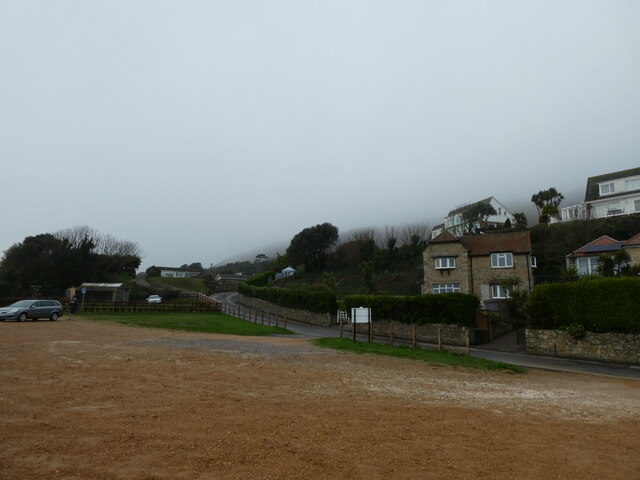
Wheelers Bay is a picturesque bay located in the county of Hampshire, England. Situated on the southern coast, it lies between the towns of Cowes and Ventnor, and is part of the larger Isle of Wight. The bay is named after Sir Hugh Wheeler, a British army officer who played a significant role in the Indian Rebellion of 1857.
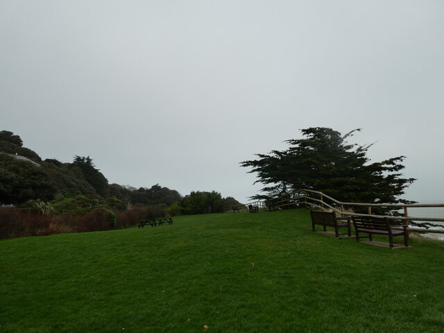
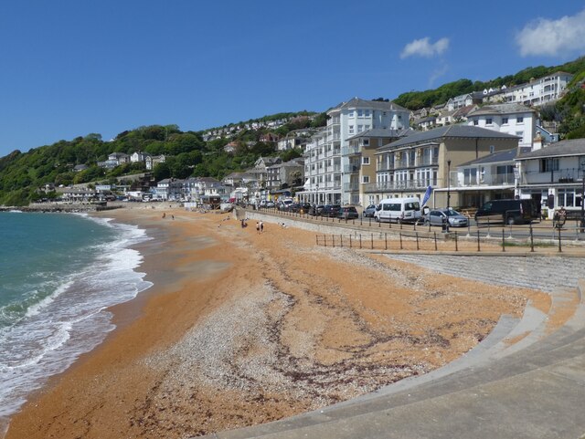
The bay is known for its stunning natural beauty, with its clear blue waters and rocky cliffs that provide a breathtaking backdrop. It is a popular destination for tourists and locals alike, offering a peaceful and serene environment. The bay also boasts a sandy beach, which is ideal for sunbathing and picnicking.
Nature enthusiasts will be delighted by the diverse wildlife that can be found in and around Wheelers Bay. The bay is home to a variety of marine life, including seals, dolphins, and seabirds. Visitors can enjoy birdwatching or take a boat trip to spot these fascinating creatures in their natural habitat.
For those who enjoy outdoor activities, Wheelers Bay offers ample opportunities for hiking and walking. There are several coastal paths that provide stunning views of the bay and the surrounding countryside. Fishing is also a popular pastime in the area, with anglers often trying their luck from the shoreline or from small boats.
Overall, Wheelers Bay is a hidden gem on the Isle of Wight, offering a tranquil escape from the hustle and bustle of everyday life. With its natural beauty, rich wildlife, and recreational activities, it is a must-visit destination for nature lovers and outdoor enthusiasts.
If you have any feedback on the listing, please let us know in the comments section below.
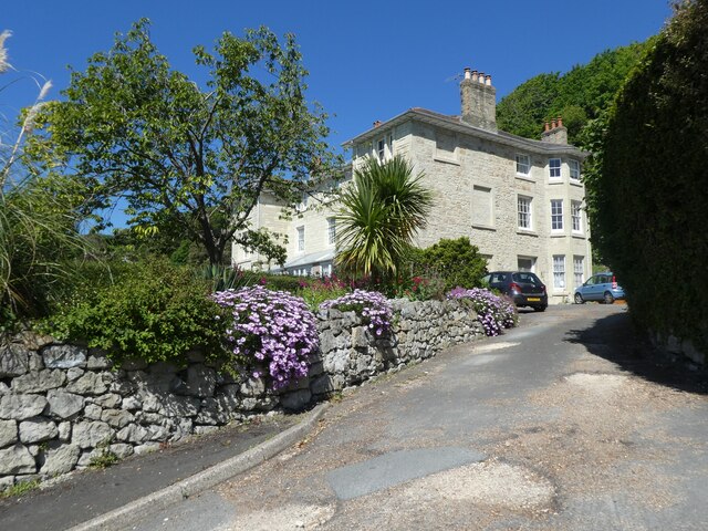
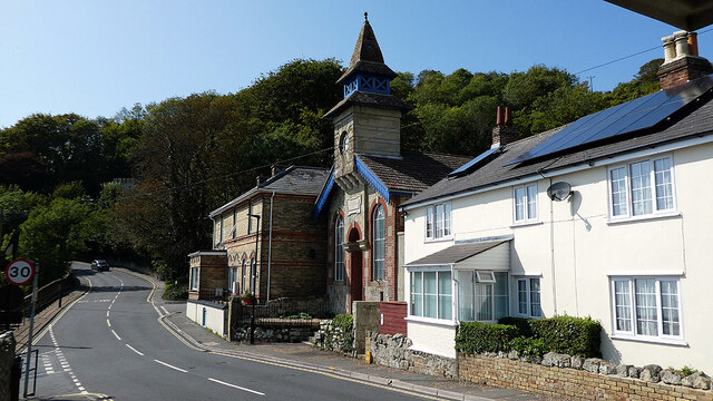
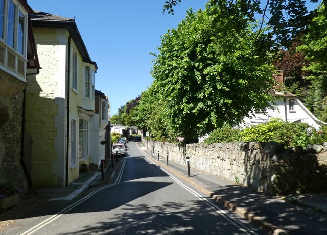
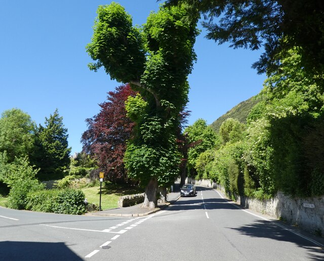
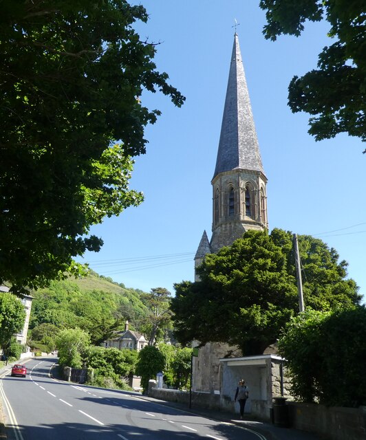
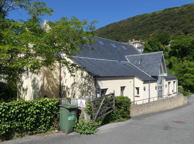
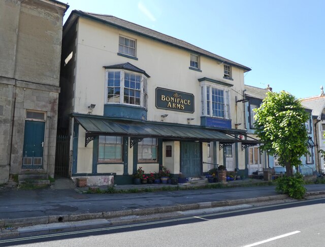
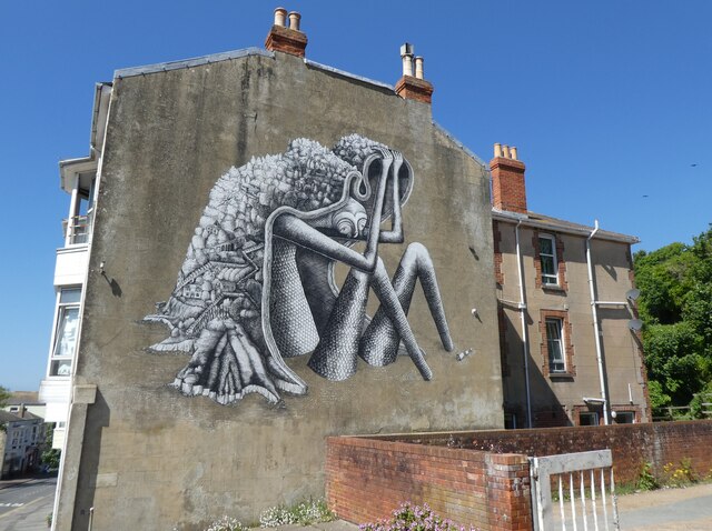
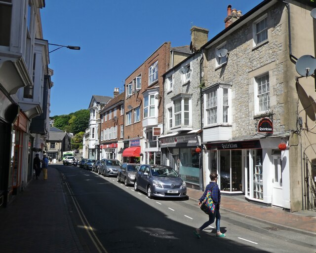
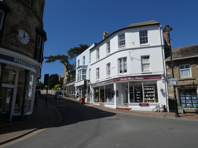
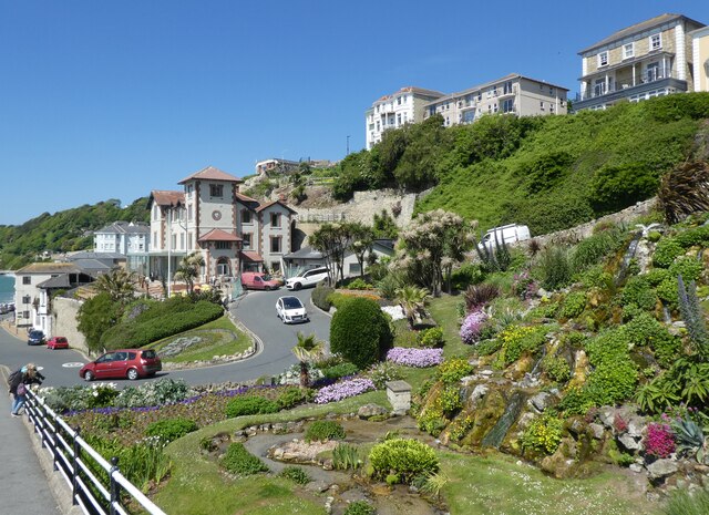
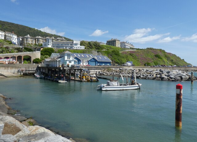
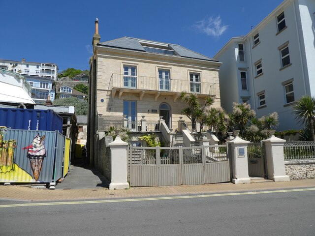
Wheelers Bay Images
Images are sourced within 2km of 50.594554/-1.1964405 or Grid Reference SZ5677. Thanks to Geograph Open Source API. All images are credited.
Wheelers Bay is located at Grid Ref: SZ5677 (Lat: 50.594554, Lng: -1.1964405)
Unitary Authority: Isle of Wight
Police Authority: Hampshire
What 3 Words
///snowy.calculate.loyal. Near Ventnor, Isle of Wight
Nearby Locations
Related Wikis

Wheelers Bay
Wheelers Bay is a small bay on the south-east coast of the Isle of Wight, England. It lies to the east of Ventnor. It faces south-east towards the English...
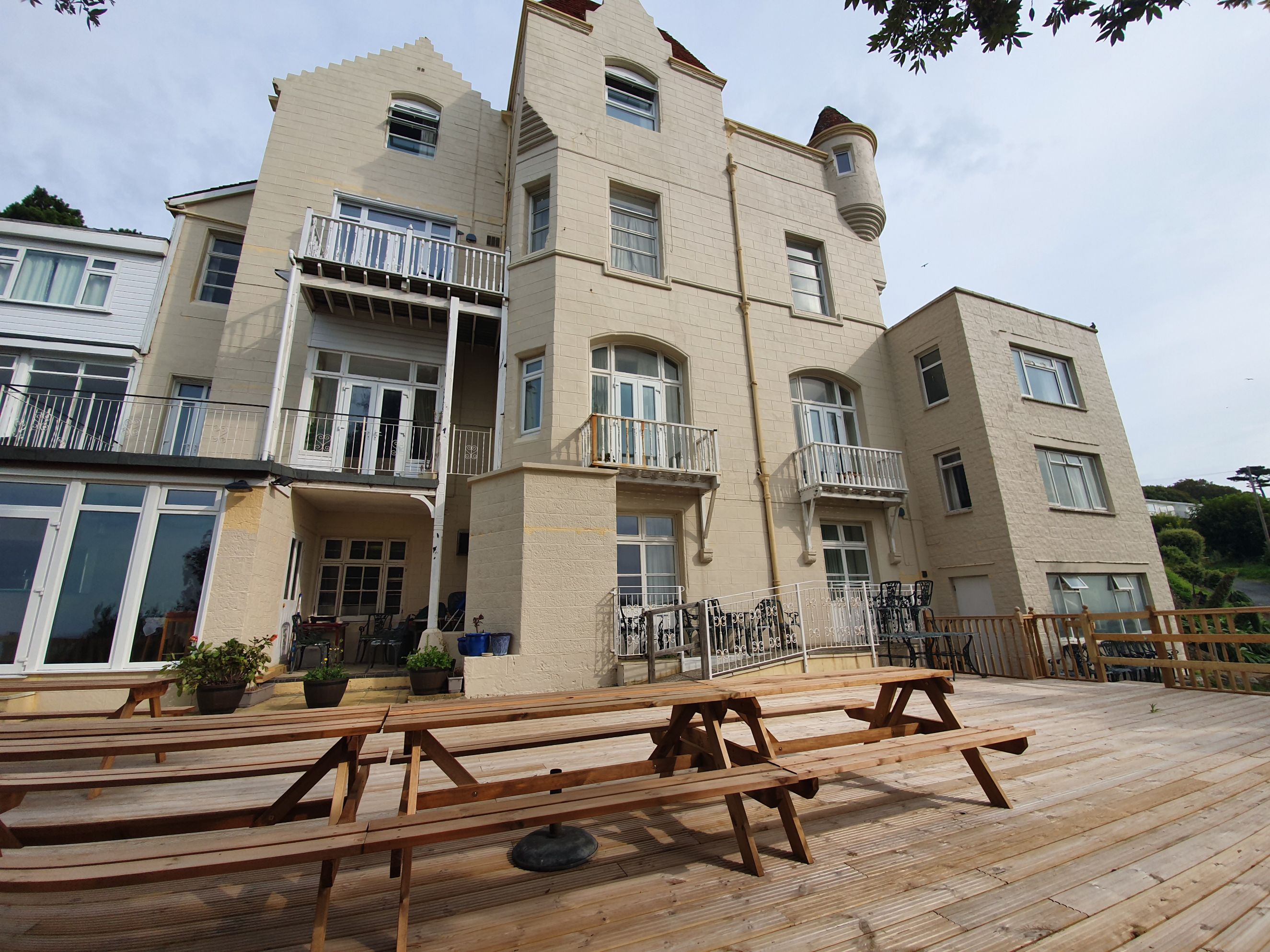
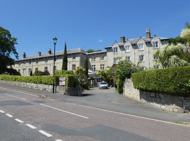
Ventnor Towers Hotel
Ventnor Towers Hotel was a large hotel in Ventnor on the Isle of Wight. The building was constructed in 1872 and has been extended multiple times since...

Holy Trinity Church, Ventnor
Holy Trinity Church, Ventnor is a parish church in the Church of England located in Ventnor, Isle of Wight. == History == The church dates from 1860 to...

Horseshoe Bay, Bonchurch, Isle of Wight
Horseshoe Bay is a bay on the south-east coast of the Isle of Wight, England. It lies to the south-east of the village of Bonchurch. It faces south-east...

South Wight
South Wight was a non-metropolitan district with the status of a borough on the Isle of Wight in England from 1974 to 1995. The district was formed by...
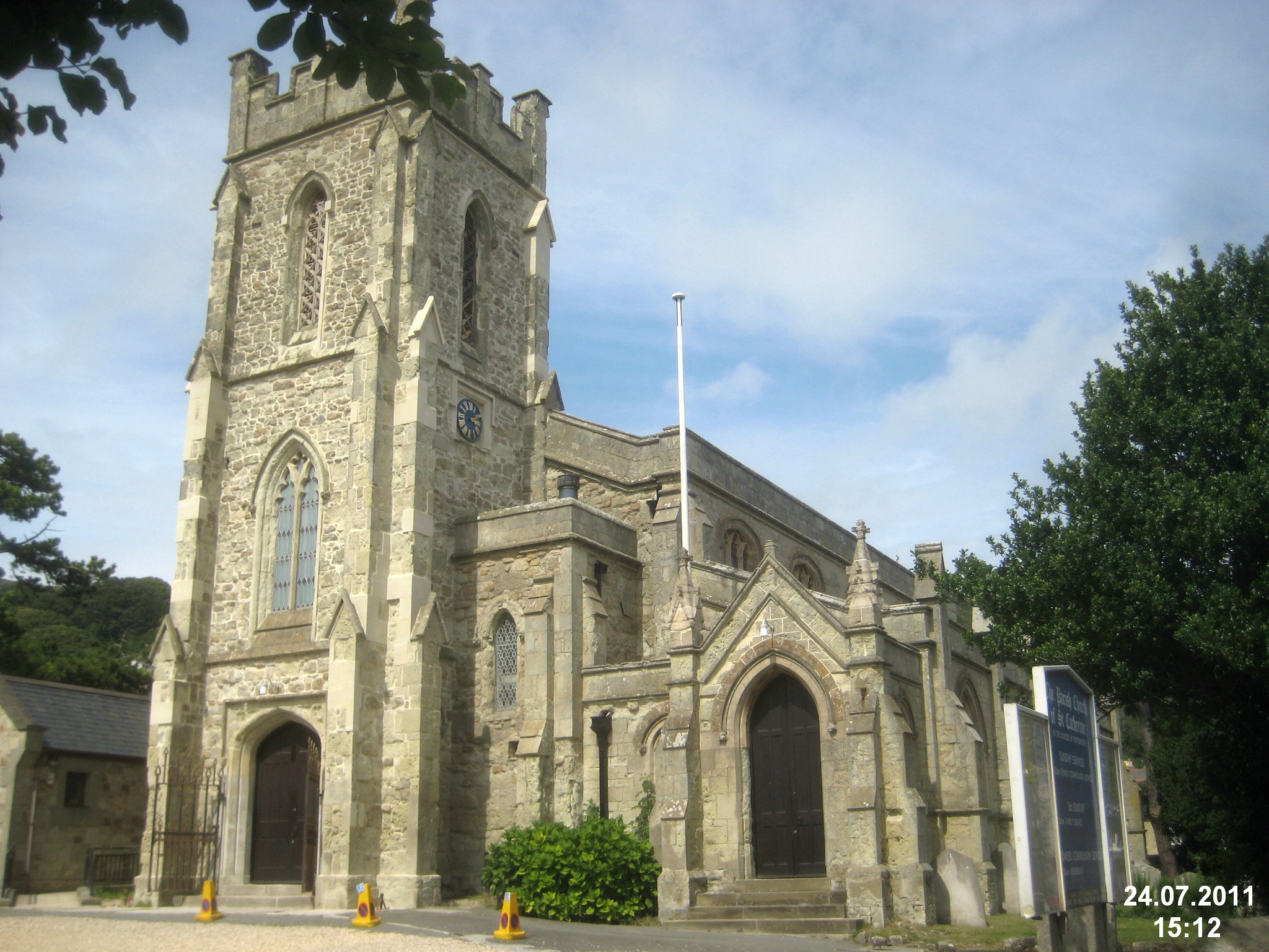
St Catherine's Church, Ventnor
St Catherine's, Ventnor is a parish church in the Church of England located in Ventnor, Isle of Wight. == History == The church dates from 1837 and was...
St Catherine's School, Ventnor
St Catherine's School, in Ventnor, on the Isle of Wight in the United Kingdom, is an independent non-maintained residential special school for children...

St Boniface Church, Bonchurch
St Boniface Church, Bonchurch is a parish church in the Church of England located in Bonchurch, Isle of Wight. == History == The church dates from 1847...
Nearby Amenities
Located within 500m of 50.594554,-1.1964405Have you been to Wheelers Bay?
Leave your review of Wheelers Bay below (or comments, questions and feedback).