Wester Wick of Copister

Bay in Shetland

Scotland

Wester Wick of Copister

Sheep and lambs at Easter Knowe
Sheep and lambs at Easter Knowe Credit: Oliver Dixon

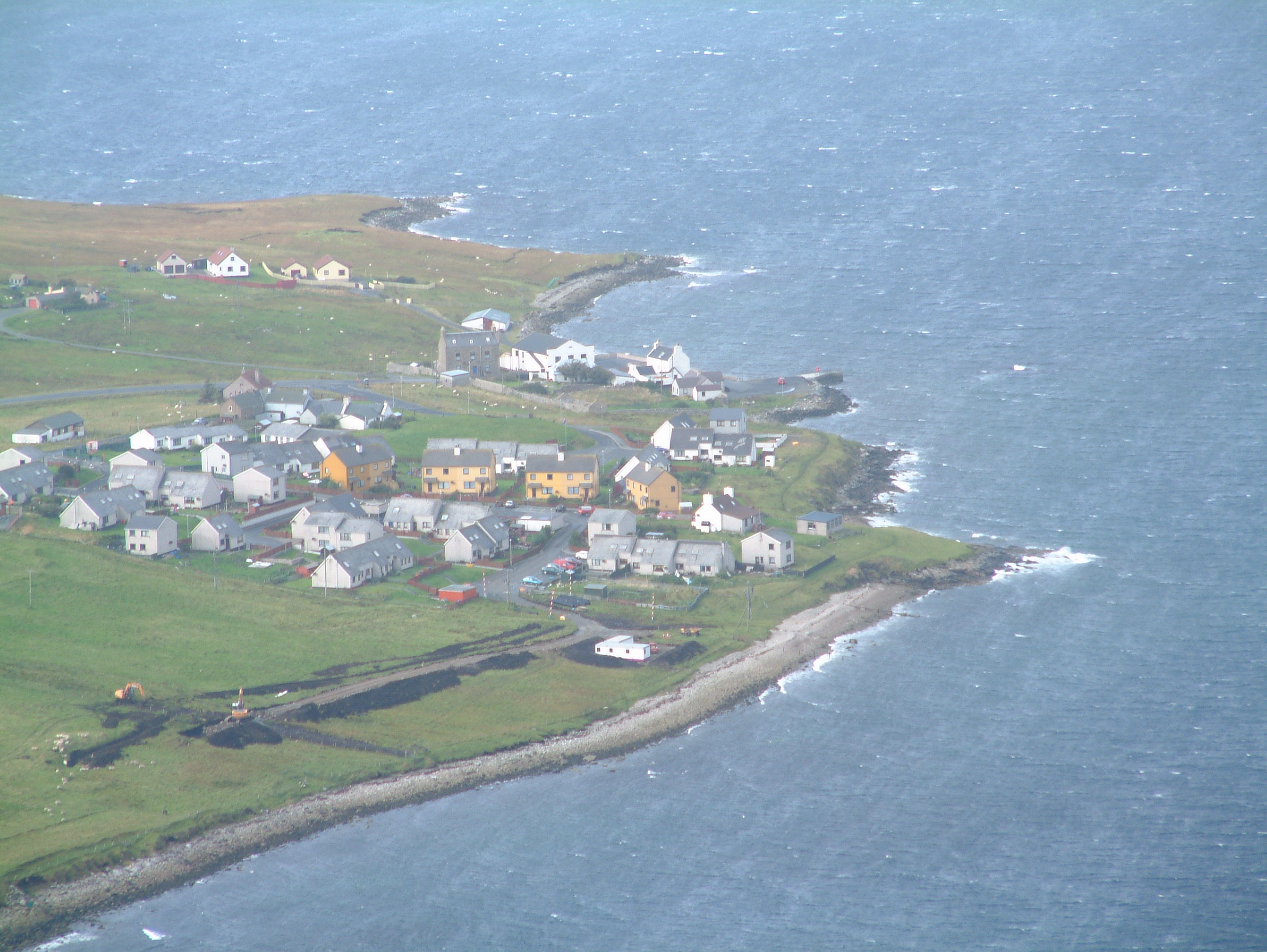
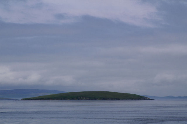
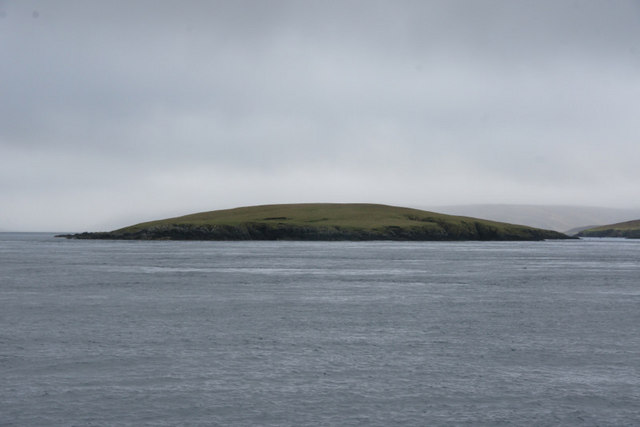
Wester Wick of Copister, located in the Shetland Islands, is a picturesque bay renowned for its natural beauty and serene surroundings. Situated on the west coast of Shetland Mainland, this bay offers breathtaking panoramic views of the North Atlantic Ocean and the rugged coastal cliffs that make up the island's coastline.

The bay is characterized by its tranquil waters, which are sheltered from the open sea by a natural breakwater formed by rocky outcrops. This makes it an ideal location for various water activities such as kayaking, boating, and fishing. The calm and clear waters also attract wildlife, with seals often seen lounging on the rocks or swimming near the shore.

Surrounded by rolling hills and lush greenery, Wester Wick of Copister is a haven for nature enthusiasts and hikers. The area is home to a diverse range of flora and fauna, including wildflowers, seabirds, and occasionally, even otters. The bay is also an excellent spot for birdwatching, as it provides a vantage point to observe various seabird species, including puffins and gannets.

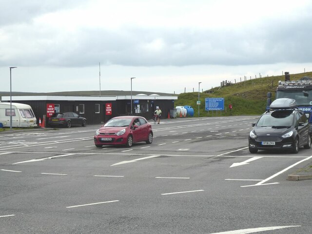
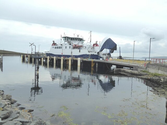
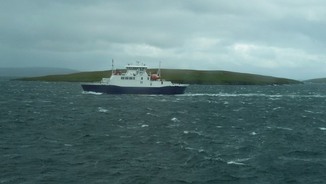
Despite its remote location, the bay is easily accessible by road, with a well-maintained track leading to the area. The nearby village of Aithsetter offers basic amenities such as accommodation and dining options, ensuring that visitors can enjoy a comfortable stay while exploring the beauty of Wester Wick of Copister.

In summary, Wester Wick of Copister is a breathtaking bay in Shetland, offering stunning views, a diverse range of wildlife, and ample opportunities for outdoor activities. Its tranquil atmosphere and natural splendor make it a must-visit destination for those seeking a peaceful retreat in the heart of nature.

If you have any feedback on the listing, please let us know in the comments section below.

Wester Wick of Copister Images

Images are sourced within 2km of 60.485752/-1.1414145 or Grid Reference HU4778. Thanks to Geograph Open Source API. All images are credited.

Sheep and lambs at Easter Knowe
Yell Ferry Terminal A view of the updated Yell Ferry Terminal on the Shetland Islands route. The ferry waiting to take on passengers is the MV Daglien, one of two boats that support this route.
Yell Ferry Terminal
A view of the updated Yell Ferry Terminal on the Shetland Islands route. The ferry waiting to take on passengers is the MV Daglien, one of two boats that support this route.
Tangi Loch and Holm of Copister Headland connected to the Isle of Yell by a strip of beach. Tangi Loch is the inlet this side of the headland and to the left.
Tangi Loch and Holm of Copister
Headland connected to the Isle of Yell by a strip of beach. Tangi Loch is the inlet this side of the headland and to the left.
Marshalling area at Ulsta For the Ulsta to Toft (Yell to Mainland) ferry.
Marshalling area at Ulsta
For the Ulsta to Toft (Yell to Mainland) ferry.
Ulsta Ferry terminal At the northern end of the Yell to Mainland crossing.
Ulsta Ferry terminal
At the northern end of the Yell to Mainland crossing.
Marina at Ulsta Small marina adjacent to the ferry terminal.
Marina at Ulsta
Small marina adjacent to the ferry terminal.
Corrugated iron and stone Presumably a shelter for sheep near Easter Knowes.
Corrugated iron and stone
Presumably a shelter for sheep near Easter Knowes.
Ulsta: approaching the ferry on the B9081 The B9081 from Burravoe and Hamnavoe approaches the A968 just before the ferry terminal - we see the ferry in dock in the background.

A small bridge over the Burn of Ulsta is visible just before the bend to the right.
Ulsta: approaching the ferry on the B9081
The B9081 from Burravoe and Hamnavoe approaches the A968 just before the ferry terminal - we see the ferry in dock in the background. A small bridge over the Burn of Ulsta is visible just before the bend to the right.
Daggri passes Samphrey Daggri, one of the two ferries that ply the Yell Sound ferry route is seen here passing the island of Samphrey. The photo was taken from her sister ship Dagalien (see <a href="https://www.geograph.org.uk/photo/2695468">HU4376 : Dagalien - Yell Ferry, Booth of Toft</a>). For more information on these ferries see the shared description below.
Daggri passes Samphrey
Daggri, one of the two ferries that ply the Yell Sound ferry route is seen here passing the island of Samphrey. The photo was taken from her sister ship Dagalien (see HU4376 : Dagalien - Yell Ferry, Booth of Toft). For more information on these ferries see the shared description below.
Ferry at Ulsta
Ferry at Ulsta
Ulsta Ferry Yell
Ulsta Ferry Yell
Robertson's shop at Ulsta OK, so my first view of Yell doesn't look very welcoming but it's well worth persevering.  The main A968 goes up the west side of Yell but old 1960s maps show that the B road along the east side was originally the main road north.
Robertson's shop at Ulsta
OK, so my first view of Yell doesn't look very welcoming but it's well worth persevering. The main A968 goes up the west side of Yell but old 1960s maps show that the B road along the east side was originally the main road north.
Holm of Copister View from the Yell Sound ferry. The Holm of Copister is connected to Yell by a double tombolo.
Holm of Copister
View from the Yell Sound ferry. The Holm of Copister is connected to Yell by a double tombolo.
Ulsta: the shop and phone box R. Robertson & Son is the village shop, just by the ferry terminal, and has a traditional red phone box alongside.
Ulsta: the shop and phone box
R. Robertson & Son is the village shop, just by the ferry terminal, and has a traditional red phone box alongside.
Ulsta Pier The ferry from Toft on Mainland arrives.
Ulsta Pier
The ferry from Toft on Mainland arrives.
Shop at Ulsta Adjacent to the terminal for ferries to Mainland.
Shop at Ulsta
Adjacent to the terminal for ferries to Mainland.
Ulsta: the ferry in dock A view of the ferry as it accepts cars for one of its frequent sailings to the Shetland mainland, from the parallel pier alongside.
Ulsta: the ferry in dock
A view of the ferry as it accepts cars for one of its frequent sailings to the Shetland mainland, from the parallel pier alongside.
Ulsta: view from the departing ferry Looking back at the village as we sail to the Shetland mainland. Henderson's village shop is on the left. The A968 sweeps left in the background towards Mid Yell, while the B9081 heads off right just by the little white boat.
Ulsta: view from the departing ferry
Looking back at the village as we sail to the Shetland mainland. Henderson's village shop is on the left. The A968 sweeps left in the background towards Mid Yell, while the B9081 heads off right just by the little white boat.
Show me another place!

Wester Wick of Copister is located at Grid Ref: HU4778 (Lat: 60.485752, Lng: -1.1414145)

Unitary Authority: Shetland Islands

Police Authority: Highlands and Islands

What 3 Words

///extension.fitter.foremost. Near Ulsta, Shetland Islands

Related Wikis

Copister

Copister is a village in Yell. It is a former centre for haaf fishing, and has a shingle beach. == References == Blackadder, Jill Slee (2003). Shetland...

Orfasay

Orfasay (Old Norse: Orfyrisey, meaning "tidal island") is one of the Shetland Islands. == Geography == Orfasay is a tidal island in Yell Sound, connected...

Samphrey

Samphrey (Scots: Samphrey; Old Norse: SandfriĆ°arey) is an uninhabited island in the Shetland Islands, Scotland. One of Fair Isle's old names is "FriĆ°arey...

Ulsta

Ulsta is a village in the south-west of the island of Yell, Shetland, Scotland. North Ness Hall is the local community facility. The car ferry to Toft...

Bigga, Shetland

Bigga is an uninhabited island in the Yell Sound between the Mainland and Yell in Shetland, Scotland. == Geography and geology == Just over 1,000 metres...

Mossbank, Shetland

Mossbank is a village in the north east of the Mainland of Shetland, Scotland. Originally served by an inter island ferry steamer from Lerwick, this ceased...

Uynarey

Uynarey is one of the Shetland islands in Yell Sound, just to the north of Bigga, and east of Brother Island. It is an RSPB reserve. The name comes from...

Fish Holm

Fish Holm is a small island, 1.5 miles (2.4 km) east of Mainland, Shetland. It is near the village of Mossbank. It is 20 metres (66 ft) at its highest...

Nearby Amenities

Located within 500m of 60.485752,-1.1414145
Wester Wick of Copister
Natural: bay
Lat/Long: 60.4865752/-1.140647
The data included in this document is from www.openstreetmap.org. The data is made available under ODbL.

Have you been to Wester Wick of Copister?

Leave your review of Wester Wick of Copister below (or comments, questions and feedback).