North Voe of Gletness
Bay in Shetland
Scotland
North Voe of Gletness

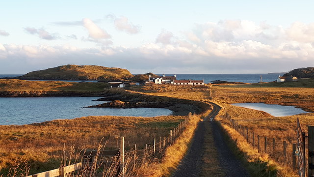
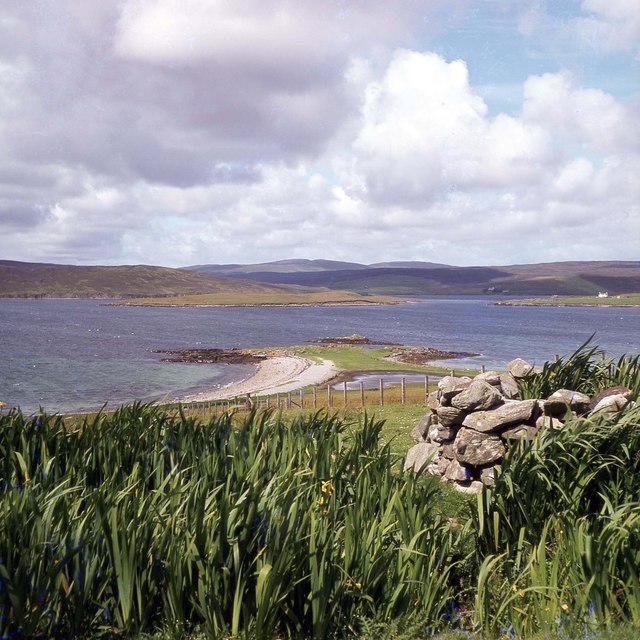
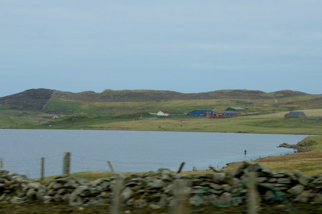
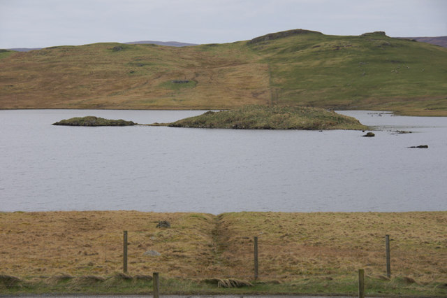
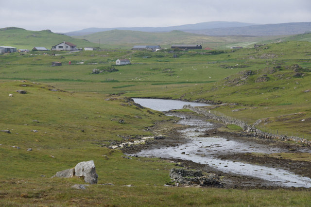
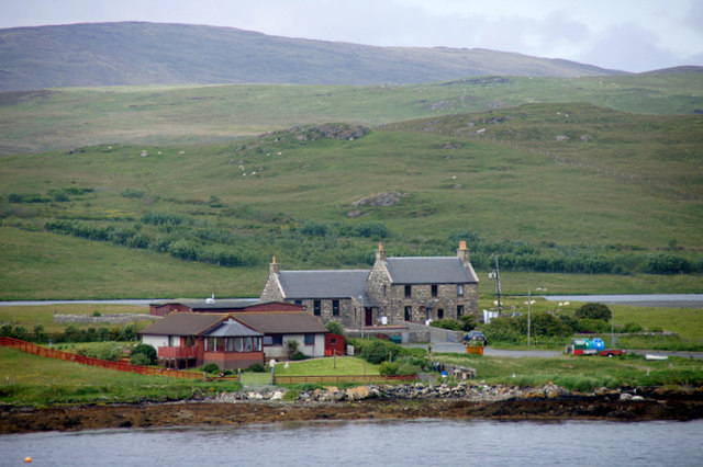
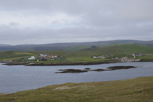
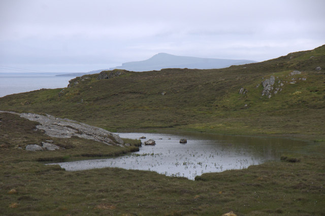
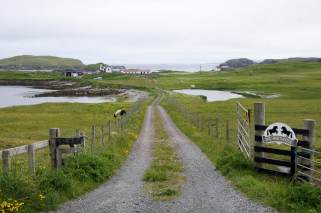
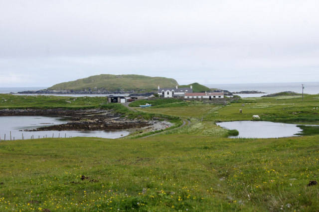
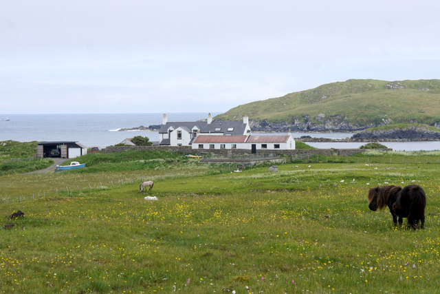
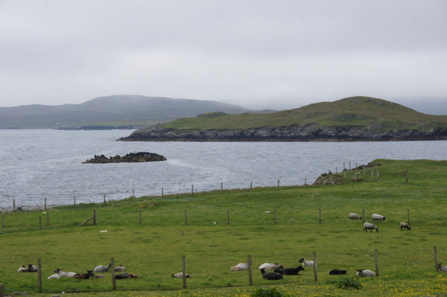
North Voe of Gletness is a picturesque bay located on the island of Shetland, Scotland. It lies on the west coast of the island, about 20 miles north of the main town of Lerwick. The bay is surrounded by rugged cliffs and rolling green hills, offering stunning views of the surrounding countryside.
The North Voe of Gletness is known for its exceptional natural beauty and tranquility. It is a haven for wildlife enthusiasts, as the bay is home to a diverse range of bird species, including puffins, fulmars, and kittiwakes. Seals and otters can also be spotted along the rocky shoreline.
The bay is popular among locals and visitors alike for recreational activities such as fishing and boating. Its calm waters make it an ideal spot for kayaking and sailing, while anglers can try their luck at catching cod, haddock, and mackerel.
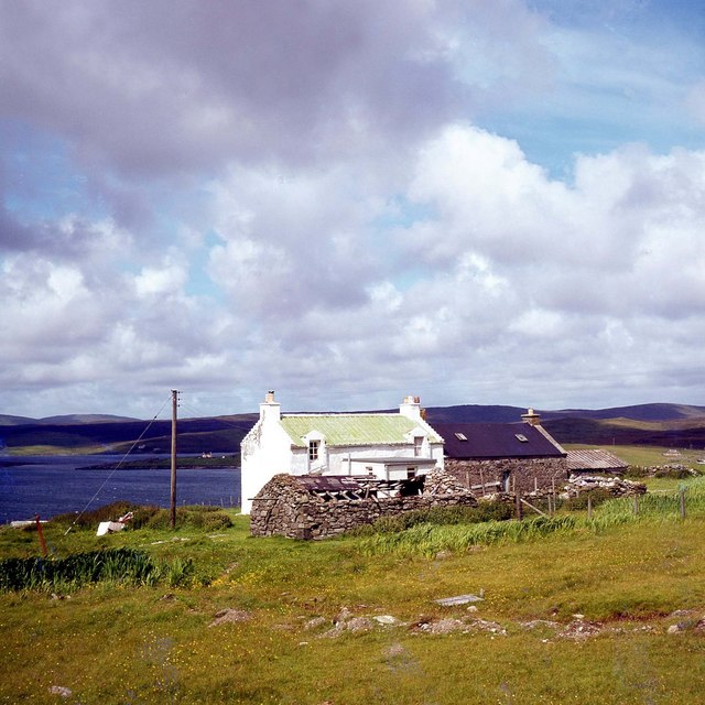
In addition to its natural attractions, North Voe of Gletness is of historical significance. The nearby ruins of Gletness Farmhouse, a 19th-century building, offer a glimpse into the island's past. The area is also dotted with ancient burial sites and standing stones, evidence of its rich cultural heritage.
For those seeking a peaceful escape in a stunning natural setting, North Voe of Gletness is a must-visit destination. Its unspoiled beauty and wide range of outdoor activities make it an idyllic spot to immerse oneself in the wonders of Shetland's landscapes.
If you have any feedback on the listing, please let us know in the comments section below.
North Voe of Gletness Images
Images are sourced within 2km of 60.249312/-1.1476815 or Grid Reference HU4751. Thanks to Geograph Open Source API. All images are credited.


North Voe of Gletness is located at Grid Ref: HU4751 (Lat: 60.249312, Lng: -1.1476815)
Unitary Authority: Shetland Islands
Police Authority: Highlands and Islands
What 3 Words
///peroxide.ramps.mini. Near Lerwick, Shetland Islands
Nearby Locations
Related Wikis

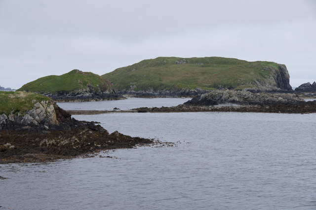
North Isle of Gletness
The North Isle of Gletness is one of the Shetland Islands. It is east of the Shetland Mainland, near Gletness in Nesting parish, and is so called in contradistinction...

South Isle of Gletness
The South Isle of Gletness is an islet off Gletness, in Nesting in east central, Mainland, Shetland. It is 30m at its highest point. Amongst its features...

Freester
Freester is a settlement on Mainland, Shetland, Scotland. It is in the parish of Nesting. == References == == External links == Canmore - Hard Knowe site...

RAF Catfirth
RAF Catfirth was a First World War seaplane base located on the island of Mainland in the Shetland Islands, Scotland. The base was under the control of...

Breiwick
Breiwick is a village on the island of Mainland in Shetland, Scotland. Breiwick is in the parish of Tingwall, and is 1.6 mi (2.5 km) north-east of Gott...

Brettabister
Brettabister is a settlement on the island of Mainland in Shetland, Scotland. It is in the parish of Nesting. St. Ola's parish church lies to the east...
Nesting, Shetland
Nesting is a parish in the Shetland Islands, Scotland. It includes a part of the east Shetland Mainland, measuring about twelve by four miles (19 by 6...
Geopark Shetland
Geopark Shetland is the name used by the Geopark formally established in September 2009 on its entry into the European Geoparks Network. The Geopark extends...
Nearby Amenities
Located within 500m of 60.249312,-1.1476815Have you been to North Voe of Gletness?
Leave your review of North Voe of Gletness below (or comments, questions and feedback).