Shippersea Bay
Bay in Durham
England
Shippersea Bay

Shippersea Bay, located in County Durham, England, is a picturesque coastal area renowned for its natural beauty and historical significance. Situated on the North Sea, this bay offers stunning panoramic views of the coastline and attracts visitors from far and wide.
The bay is characterized by its sandy beach, which stretches for approximately 1.5 kilometers and is flanked by imposing cliffs on either side. The sand is soft and golden, making it a popular spot for sunbathing, picnicking, and leisurely walks along the shore. The gentle slope of the beach also makes it safe for swimming and paddling in the calm waters.
Shippersea Bay is not only a haven for nature enthusiasts but also a site of historical interest. The remains of an ancient settlement known as the Seaham Roman Fort can be found here, dating back to the 3rd century AD. Excavations have revealed fascinating artifacts, shedding light on the lives of Roman soldiers stationed in the area.
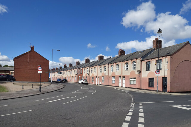
Visitors to Shippersea Bay can also explore the nearby coastal town of Seaham, which offers a range of amenities including shops, cafes, and restaurants. Additionally, the bay is a popular destination for birdwatching, with various species of seabirds and waders frequenting the area.
Overall, Shippersea Bay in Durham is a captivating destination that combines natural beauty with historical intrigue. Its stunning beach, breathtaking views, and rich heritage make it a must-visit location for both locals and tourists alike.
If you have any feedback on the listing, please let us know in the comments section below.
Shippersea Bay Images
Images are sourced within 2km of 54.800626/-1.3104483 or Grid Reference NZ4445. Thanks to Geograph Open Source API. All images are credited.


Shippersea Bay is located at Grid Ref: NZ4445 (Lat: 54.800626, Lng: -1.3104483)
Unitary Authority: County Durham
Police Authority: Durham
What 3 Words
///nipping.trips.doses. Near Easington Colliery, Co. Durham
Nearby Locations
Related Wikis

Hawthorn Dene
Hawthorn Dene is a Site of Special Scientific Interest in the Easington district of County Durham, England. The site occupies the incised valley of Hawthorn...

Hawthorn Quarry
Hawthorn Quarry is a Site of Special Scientific Interest in the Easington district of east County Durham, England. It is a working quarry, currently operated...
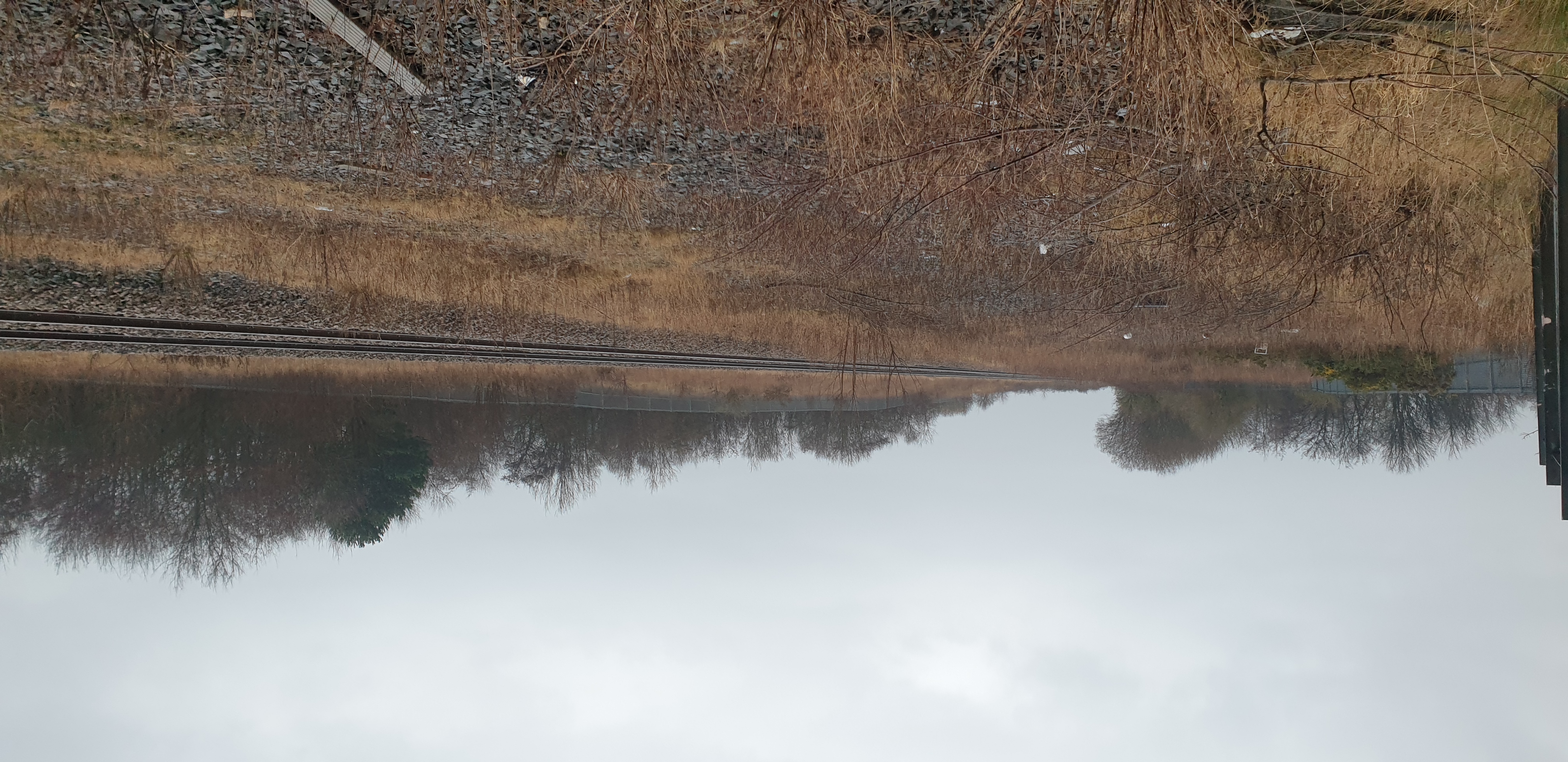
Easington railway station
Easington railway station served the town of Easington Colliery and Easington Village in County Durham, North East England. It was located on the Durham...
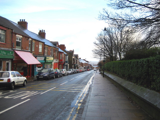
Easington Colliery
Easington Colliery is a town in County Durham, England, known for a history of coal mining. It is situated to the north of Horden, a short distance to...
Nearby Amenities
Located within 500m of 54.800626,-1.3104483Have you been to Shippersea Bay?
Leave your review of Shippersea Bay below (or comments, questions and feedback).