Beacon Hill

Hill, Mountain in Durham

England

Beacon Hill

Hawthorn Dene Bare trees and a carpet of wild garlic on the northern edge of Hawthorn Dene in spring.
Hawthorn Dene Credit: David Robinson

Beacon Hill is a prominent landmark located in Durham, a historic city in County Durham, England. Standing at an impressive height of 260 meters (850 feet) above sea level, it is one of the highest points in the area, offering breathtaking panoramic views of Durham and its surrounding countryside.

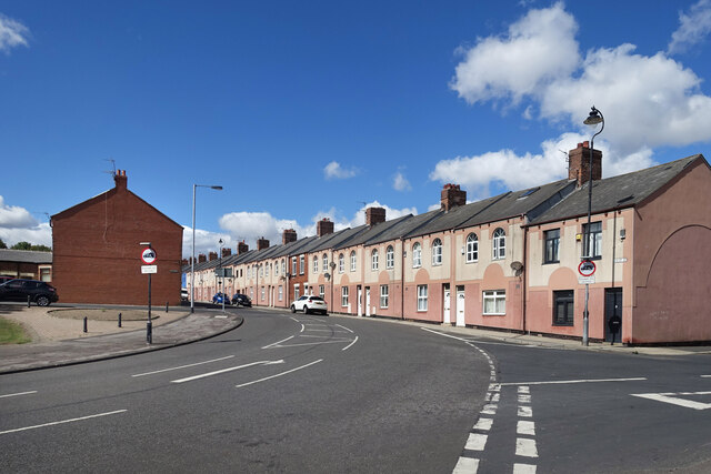
Situated to the south of Durham city center, Beacon Hill is a popular destination for both locals and tourists alike. The hill is easily accessible by foot or by car, with a well-maintained footpath leading to the summit. The climb to the top is relatively easy, making it a suitable location for hikers of all levels.

At the peak of Beacon Hill, visitors are rewarded with stunning vistas of Durham Cathedral, the River Wear, and the lush green landscape that stretches as far as the eye can see. On clear days, it is said that one can even catch a glimpse of the North York Moors in the distance.

Aside from its natural beauty, Beacon Hill has a rich historical significance. It is believed that the hill was used as a site for a beacon during the Anglo-Saxon and medieval periods, serving as a warning system against potential invaders. The remnants of a beacon tower can still be seen at the summit, adding to the hill's allure and historical charm.

In conclusion, Beacon Hill in Durham is a captivating natural landmark, offering breathtaking views and a glimpse into the region's historical past. Whether you are a nature enthusiast, history buff, or simply seeking a tranquil escape, Beacon Hill is a must-visit destination in Durham.

If you have any feedback on the listing, please let us know in the comments section below.

Beacon Hill Images

Images are sourced within 2km of 54.80174/-1.3167451 or Grid Reference NZ4445. Thanks to Geograph Open Source API. All images are credited.

Hawthorn Dene Bare trees and a carpet of wild garlic on the northern edge of Hawthorn Dene in spring.
Hawthorn Dene
Bare trees and a carpet of wild garlic on the northern edge of Hawthorn Dene in spring.
Hawthorn Burn The burn seen deep in Hawthorn Dene.
Hawthorn Burn
The burn seen deep in Hawthorn Dene.
Hawthorn Dene Viaduct The viaduct carries the Durham Coast railway across Hawthorn Dene. Built in 1905 the viaduct is grade II listed. The railway was once very busy with freight traffic, allowing connection to Tyne Dock, Sunderland docks, Seaham harbour, Hartlepool docks, the Durham coalfield's coastal collieries, and Billingham with the associated petrochemical industries on the North side of the Tees. The line still sees a smattering of freight traffic but is primarily the passenger route linking Newcastle to Middlesbrough via Sunderland, Hartlepool and Stockton, with an hourly service.
Hawthorn Dene Viaduct
The viaduct carries the Durham Coast railway across Hawthorn Dene. Built in 1905 the viaduct is grade II listed. The railway was once very busy with freight traffic, allowing connection to Tyne Dock, Sunderland docks, Seaham harbour, Hartlepool docks, the Durham coalfield's coastal collieries, and Billingham with the associated petrochemical industries on the North side of the Tees. The line still sees a smattering of freight traffic but is primarily the passenger route linking Newcastle to Middlesbrough via Sunderland, Hartlepool and Stockton, with an hourly service.
Hawthorn Burn exiting Hawthorn Dene Several denes run west - east into the North Sea along the Durham coast. They were formed by meltwaters cutting channels through the limestone ridge that runs down the Durham coast.
Hawthorn Burn exiting Hawthorn Dene
Several denes run west - east into the North Sea along the Durham coast. They were formed by meltwaters cutting channels through the limestone ridge that runs down the Durham coast.
Beach Art, Hawthorn Hive
Blast Beach The name of the beach reflects the use of the location for early furnaces using the local coal, limestone and iron ore. This was overtaken by the growth of the coal industry and the iron & steel industry migrated and grew into the large works associated with the Derwent valley (Consett) and Teesside, both areas with iron ore deposits. The industrial units seen on the headland at the top of the image are on the site of Dawdon colliery, which until the early 1990s tipped its spoil straight onto the beach to be taken on the tide. The Durham coastline has been significantly cleaned up since the end of deep mining, though the demarcation between clean beach and a remaining layer of waste can be seen at the high tide line running down the long axis of the beach.
Blast Beach
The name of the beach reflects the use of the location for early furnaces using the local coal, limestone and iron ore. This was overtaken by the growth of the coal industry and the iron & steel industry migrated and grew into the large works associated with the Derwent valley (Consett) and Teesside, both areas with iron ore deposits. The industrial units seen on the headland at the top of the image are on the site of Dawdon colliery, which until the early 1990s tipped its spoil straight onto the beach to be taken on the tide. The Durham coastline has been significantly cleaned up since the end of deep mining, though the demarcation between clean beach and a remaining layer of waste can be seen at the high tide line running down the long axis of the beach.
Easington Miners' Picnic
The Pit Cage Monument, Easington Colliery Standing on the Durham Heritage Coast in the Spring sunshine the monument is a memorial to the colliery which closed in 1993.
See Andrew Curtis's photo for more information <a href="https://www.geograph.org.uk/photo/1578726">NZ4344 : Pit Cage Monument, Easington Colliery</a>
The Pit Cage Monument, Easington Colliery
Standing on the Durham Heritage Coast in the Spring sunshine the monument is a memorial to the colliery which closed in 1993. See Andrew Curtis's photo for more information NZ4344 : Pit Cage Monument, Easington Colliery
Easington Colliery Timeline The path to the Pit Cage Monument <a href="https://www.geograph.org.uk/photo/7156716">NZ4344 : The Pit Cage Monument, Easington Colliery</a> is lined with bronze plaques which record significant events in the history of Easington Colliery which opened in 1899 and closed in 1953.
Easington Colliery Timeline
The path to the Pit Cage Monument NZ4344 : The Pit Cage Monument, Easington Colliery is lined with bronze plaques which record significant events in the history of Easington Colliery which opened in 1899 and closed in 1953.
Byron Street, Easington Colliery Two houses displaying individual taste but to the detriment of the street scene
Byron Street, Easington Colliery
Two houses displaying individual taste but to the detriment of the street scene
Cliff Top View at Fox Holes Part of the Durham Coast National Nature Reserve.
Cliff Top View at Fox Holes
Part of the Durham Coast National Nature Reserve.
Wild Flowers by the Coast Path At Fox Holes Dene a stream has cut a deep chine through the cliffs so the coast path has to make a detour of around 1km to cover less than 200m of coastline. It's a pleasant wooded walk though, very different from the clifftop scenery.
The flowers look like sweet peas and willow herb.
Wild Flowers by the Coast Path
At Fox Holes Dene a stream has cut a deep chine through the cliffs so the coast path has to make a detour of around 1km to cover less than 200m of coastline. It's a pleasant wooded walk though, very different from the clifftop scenery. The flowers look like sweet peas and willow herb.
Byron (or Ascot?) Street The map calls it Byron Street. Other contributors call it Byron Street. But there is definitely a street name sign on the end house calling it Ascot Street.
Why would that be? 
It's a very distinctive terrace anyway.
Byron (or Ascot?) Street
The map calls it Byron Street. Other contributors call it Byron Street. But there is definitely a street name sign on the end house calling it Ascot Street. Why would that be? It's a very distinctive terrace anyway.
Station Road, Easington Colliery The main road through the village. The station, like the colliery, is no longer there.
Station Road, Easington Colliery
The main road through the village. The station, like the colliery, is no longer there.
Camp Street, Easington Colliery Terraced housing on the slope down towards the coast.
Camp Street, Easington Colliery
Terraced housing on the slope down towards the coast.
Easington Local Nature Reserve A landscaped area formerly occupied by a coal mine. One of the mine shafts is in a fenced enclosure beyond the small black notice near the centre of the picture.
The panel tells you about the transformation.
Easington Local Nature Reserve
A landscaped area formerly occupied by a coal mine. One of the mine shafts is in a fenced enclosure beyond the small black notice near the centre of the picture. The panel tells you about the transformation.
Signpost to the Coast Path One of the places where the coast path can be accessed from a parking area. The path is a short walk over a landscaped open space which was previously the site of a coal mine.
Signpost to the Coast Path
One of the places where the coast path can be accessed from a parking area. The path is a short walk over a landscaped open space which was previously the site of a coal mine.
Outside the Library Looking westwards along Seaside Lane from the steps in front of the library.
A Sunday morning and nobody's about.
Outside the Library
Looking westwards along Seaside Lane from the steps in front of the library. A Sunday morning and nobody's about.
Show me another place!

Beacon Hill is located at Grid Ref: NZ4445 (Lat: 54.80174, Lng: -1.3167451)

Unitary Authority: County Durham

Police Authority: Durham

What 3 Words

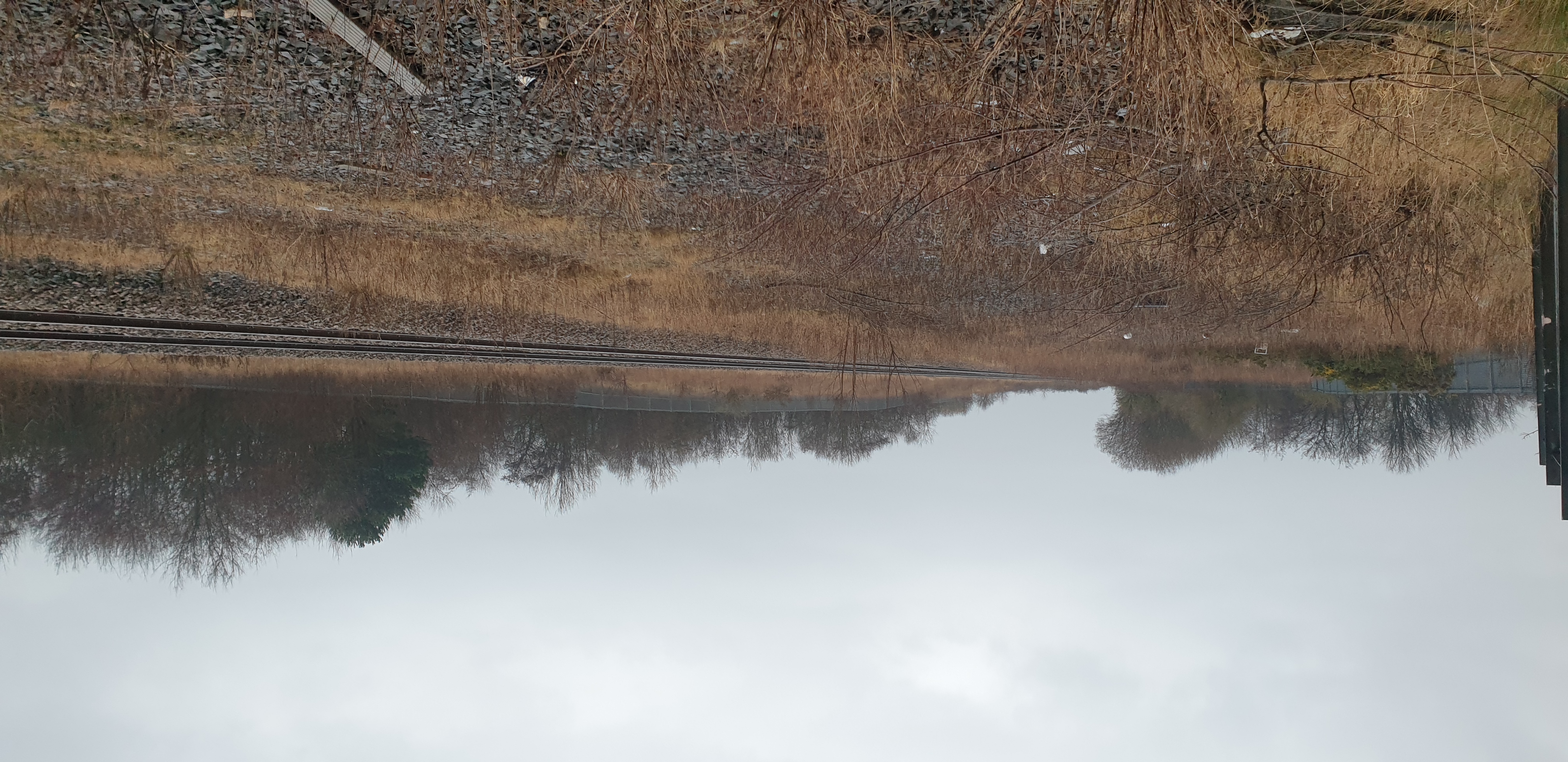
///nurses.limits.grips. Near Easington Colliery, Co. Durham

Related Wikis

Hawthorn Dene

Hawthorn Dene is a Site of Special Scientific Interest in the Easington district of County Durham, England. The site occupies the incised valley of Hawthorn...

Hawthorn Quarry

Hawthorn Quarry is a Site of Special Scientific Interest in the Easington district of east County Durham, England. It is a working quarry, currently operated...

Easington railway station

Easington railway station served the town of Easington Colliery and Easington Village in County Durham, North East England. It was located on the Durham...

Hope Wood Academy

54.7898°N 1.3362°W / 54.7898; -1.3362 Hope Wood Academy is an academy based in Easington Colliery, County Durham. The school caters for pupils aged 2...

Nearby Amenities

Located within 500m of 54.80174,-1.3167451
Source: PGS
Lat/Long: 54.7998771/-1.3117088
Source: PGS
Lat/Long: 54.8003152/-1.3120858
Source: PGS
Lat/Long: 54.8007435/-1.3123322
Source: PGS
Lat/Long: 54.8010967/-1.3123133
Source: PGS
Lat/Long: 54.8014786/-1.3119626
Source: PGS
Lat/Long: 54.8017836/-1.3117262
Source: PGS
Lat/Long: 54.802298/-1.3118456
Source: PGS
Lat/Long: 54.8024248/-1.3119917
Beacon Point
Natural: cape
Lat/Long: 54.8019381/-1.3125265
Source: PGS
Lat/Long: 54.7995964/-1.3112502
Beacon Hill
Natural: peak
Wikidata: Q24658962
Lat/Long: 54.8020701/-1.3161063
Beacon Hill North
Ele: 85.7
Image: https://www.geograph.org.uk/photo/1359302
Man Made: survey_point
Material: concrete
Ref: NZ42S002
Tpuk Ref: TP1109
Website: https://trigpointing.uk/trig/1109
Wikimedia Commons: File:Beacon Hill Trig Point - geograph.org.uk - 831404.jpg
Lat/Long: 54.8014838/-1.3155531
Bench
Lat/Long: 54.805503/-1.3187349
Blue House
Archaeological Site: settlement
Historic: archaeological_site
Source: Historic OS mapping
Lat/Long: 54.8035149/-1.3177773
White Steps
Crossing Activation: automatic
Crossing Barrier: no
Crossing Bell: yes
Crossing Light: yes
Railway: crossing
Supervised: no
Lat/Long: 54.800444/-1.3137776
White Steps
Crossing Activation: automatic
Crossing Barrier: no
Crossing Bell: yes
Crossing Light: yes
Railway: crossing
Supervised: no
Lat/Long: 54.8004388/-1.3137158
Shippersea Point
Natural: cape
Source Name: OS_OpenData_StreetView
Lat/Long: 54.7989841/-1.3113964
Shippersea Bay
Natural: bay
Lat/Long: 54.8007313/-1.3112354
The data included in this document is from www.openstreetmap.org. The data is made available under ODbL.

Have you been to Beacon Hill?

Leave your review of Beacon Hill below (or comments, questions and feedback).