Bight of Haggrister

Bay in Shetland

Scotland

Bight of Haggrister

Brae in the snow
Brae in the snow Credit: Mike Pennington

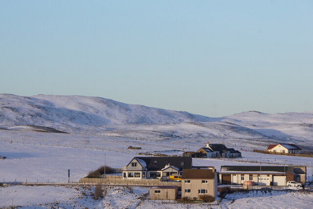
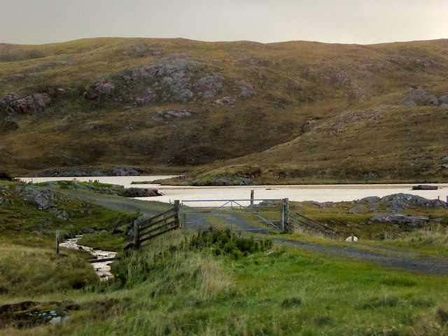
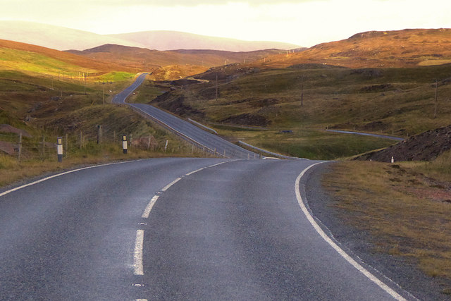
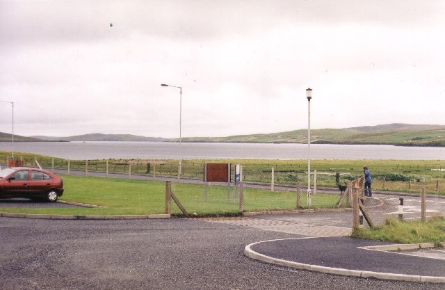
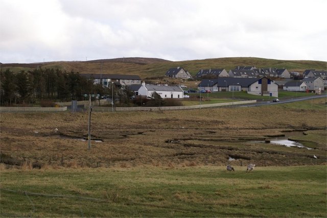
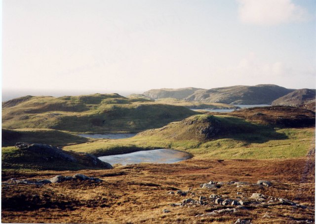
The Bight of Haggrister is a bay located in the Shetland Islands, situated off the northeastern coast of Scotland. This bay is situated on the eastern side of the Mainland, the largest island in the Shetland archipelago. The Bight of Haggrister is known for its picturesque landscape and stunning natural beauty.

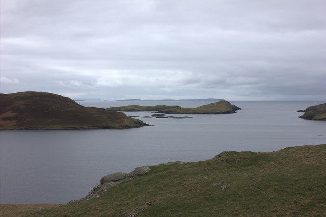
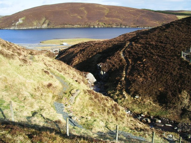
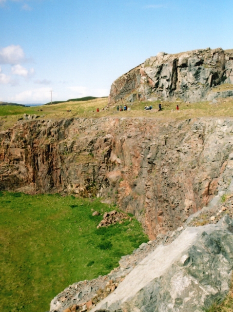
The bay is characterized by its rocky coastline and dramatic cliffs, which provide a habitat for a variety of seabirds, including puffins, guillemots, and razorbills. The crystal-clear waters of the bay are also home to a diverse range of marine life, such as seals, dolphins, and even occasional sightings of whales.

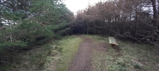
The Bight of Haggrister is a popular destination for nature enthusiasts and birdwatchers, who are drawn to the area's rich biodiversity. It offers opportunities for hiking along the coastal trails, providing breathtaking views of the surrounding cliffs and the adjacent North Sea. The bay is also a favored spot for fishing, with anglers targeting species such as cod, haddock, and mackerel.

In addition to its natural attractions, the Bight of Haggrister has historical significance. The bay was once used as a harbor for the local fishing industry, and remnants of old stone piers and fish processing buildings can still be seen along its shoreline, serving as a reminder of the area's maritime heritage.

Overall, the Bight of Haggrister is a captivating bay that offers a unique blend of natural beauty, wildlife, and historical interest, making it a must-visit destination for those exploring the Shetland Islands.

If you have any feedback on the listing, please let us know in the comments section below.

Bight of Haggrister Images

Images are sourced within 2km of 60.410379/-1.3688899 or Grid Reference HU3469. Thanks to Geograph Open Source API. All images are credited.

Brae in the snow
Brae in the snow
Brae Community Woodland
Mangaster Voe
Mangaster Voe
The old road Single track remains of the A970 road
The old road
Single track remains of the A970 road
Mangaster Voe
Mangaster Voe
Homestead on promontory  Overlooking Mangaster Voe.
Too Brekk is hill beyond on the left.
Homestead on promontory
Overlooking Mangaster Voe. Too Brekk is hill beyond on the left.
Loch of Haggrister
Loch of Haggrister
A970 near Mangaster The A970 runs for 71 miles across most of the length of the "Mainland" in the Shetland Islands. It is a good-quality single-carriageway road for most of its route. Travelling from south to north, the road begins at Grutness near Sumburgh Airport and winds around the many hills and inlets passing close to a number of small villages without going through any large ones before Lerwick. After looping around Lerwick, a short spur runs to Scalloway whilst the main route continues northwards towards Brae where it crosses the narrow isthmus of Mavis Grind. At Sandy Lochs the road splits and a four-mile spur goes through Urafirth to Hillswick. The main route continuing to the right towards its northern terminus at Isbister. This last part of the route tends to be narrower with passing places.

<span class="nowrap"><a title="https://www.sabre-roads.org.uk/wiki/index.php?title=A970" rel="nofollow ugc noopener" href="https://www.sabre-roads.org.uk/wiki/index.php?title=A970">Link</a><img style="margin-left:2px;" alt="External link" title="External link - shift click to open in new window" src="https://s1.geograph.org.uk/img/external.png" width="10" height="10"/></span>  SABRE
A970 near Mangaster
The A970 runs for 71 miles across most of the length of the "Mainland" in the Shetland Islands. It is a good-quality single-carriageway road for most of its route. Travelling from south to north, the road begins at Grutness near Sumburgh Airport and winds around the many hills and inlets passing close to a number of small villages without going through any large ones before Lerwick. After looping around Lerwick, a short spur runs to Scalloway whilst the main route continues northwards towards Brae where it crosses the narrow isthmus of Mavis Grind. At Sandy Lochs the road splits and a four-mile spur goes through Urafirth to Hillswick. The main route continuing to the right towards its northern terminus at Isbister. This last part of the route tends to be narrower with passing places. LinkExternal link SABRE
Mavis Grind This is the narrowest land in the British Isles. The inlet on the right is an arm of the Atlantic Ocean; and on the left is Sullom Voe, which is an inlet of the North Sea.
Mavis Grind
This is the narrowest land in the British Isles. The inlet on the right is an arm of the Atlantic Ocean; and on the left is Sullom Voe, which is an inlet of the North Sea.
View from Brae Junior High school across Busta Voe View from Brae Junior High school car park across Busta Voe to the Ward of Runafirth and Muckle Roe on the right with the tip of Hevden Ness on the left above the red car.
View from Brae Junior High school across Busta Voe
View from Brae Junior High school car park across Busta Voe to the Ward of Runafirth and Muckle Roe on the right with the tip of Hevden Ness on the left above the red car.
Burn of Valayre, Shetland Photo taken looking northwest down the gorge towards the waters of Voxter Voe
Burn of Valayre, Shetland
Photo taken looking northwest down the gorge towards the waters of Voxter Voe
Mavis Grind The steep cliff face frowns down at the Mavis Grind road.
Mavis Grind
The steep cliff face frowns down at the Mavis Grind road.
Mavis Grind, Shetland Looking to the west side of Mavis Grind at the Atlantic.
Mavis Grind, Shetland
Looking to the west side of Mavis Grind at the Atlantic.
Mavis Grind, Shetland Looking east at Mavis Grind, the sea is Sullom Voe, part of the North Sea to the east of Shetland.
Mavis Grind, Shetland
Looking east at Mavis Grind, the sea is Sullom Voe, part of the North Sea to the east of Shetland.
Virdins Quarry A large roadmetal quarry, with many veins of red granite cutting the surrounding grey diorite.
Virdins Quarry
A large roadmetal quarry, with many veins of red granite cutting the surrounding grey diorite.
Holm of Culsetter The holm is the tiny island in this voe. In the foreground is a 'roche moutonnée', on which can be seen grooves carved by pebbles under the ice sheet during the last ice age. These grooves, called striae, show the direction of movement of the ice.
Holm of Culsetter
The holm is the tiny island in this voe. In the foreground is a 'roche moutonnée', on which can be seen grooves carved by pebbles under the ice sheet during the last ice age. These grooves, called striae, show the direction of movement of the ice.
Brae The small area of saltmarsh at the head of Busta Voe, with the Mid Brae Inn behind.
Brae
The small area of saltmarsh at the head of Busta Voe, with the Mid Brae Inn behind.
Lochs and a lumpy landscape, near Islesburgh This area is fascinating for the series of small lochs (lochans) some forming a circle.  Many are connected one to the next by small burns. The landscape itself is largely devoid of human settlement, and even of sheep.  Yet in its barren-ness, it is very beautiful.
Lochs and a lumpy landscape, near Islesburgh
This area is fascinating for the series of small lochs (lochans) some forming a circle. Many are connected one to the next by small burns. The landscape itself is largely devoid of human settlement, and even of sheep. Yet in its barren-ness, it is very beautiful.
Show me another place!

Bight of Haggrister is located at Grid Ref: HU3469 (Lat: 60.410379, Lng: -1.3688899)

Unitary Authority: Shetland Islands

Police Authority: Highlands and Islands

What 3 Words

///relations.pictured.winner. Near Brae, Shetland Islands

Related Wikis

Mavis Grind

Mavis Grind (Old Norse: Mæfeiðs grind or Mæveiðs grind, meaning "gate of the narrow isthmus") is a narrow isthmus joining the Northmavine peninsula to...

Brae

"Brae" is also the Lowland Scots language word for the slope or brow of a hill.Brae (Old Norse: Breiðeið, meaning "the wide isthmus") is a village on the...

Busta Voe

Busta Voe, (HU665350), in the north central Mainland, Shetland, is a sea inlet lying between the village of Brae and the island of Muckle Roe. At the head...

Sullom

Sullom is a village on the Shetland peninsula of Northmavine, between Haggrister and Bardister. It lies on the northwest side of Sullom Voe, to which it...

Delting

Delting is a civil parish and community council area on Mainland, Shetland, Scotland. It includes the Sullom Voe oil terminal and its main settlements...
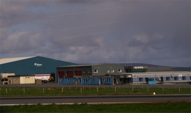
Scatsta Airport

Scatsta Airport (IATA: SCS, ICAO: EGPM), was a commercial airport on the island of Mainland, Shetland in Scotland located 17 nautical miles (31 km; 20...

Gunnister

Gunnister is a small 'abandoned' village at the North-West Mainland in Shetland, Scotland. It is most commonly known for the Gunnister Man - the remains...

Sullom Voe

Sullom Voe is an inlet of the North Sea between the parishes of Delting and Northmavine in Shetland, Scotland. It is a location of the Sullom Voe oil terminal...

Have you been to Bight of Haggrister?

Leave your review of Bight of Haggrister below (or comments, questions and feedback).