Littlecott

Settlement in Wiltshire

England

Littlecott

West Chisenbury Farm, Wiltshire A hesco observation post on Salisbury Plain Training Area in the vicinity of West Chisenbury Farm. Hesco is the term for a modern military defensive system made of collapsible wire mesh containers with heavy-duty fabric liners, and used as a temporary to semi-permanent blast wall against small-arms fire and/or explosives. It has seen considerable use in Iraq and Afghanistan.
West Chisenbury Farm, Wiltshire Credit: Rebecca A Wills

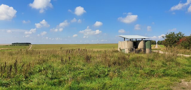
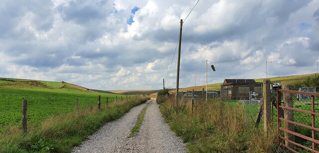
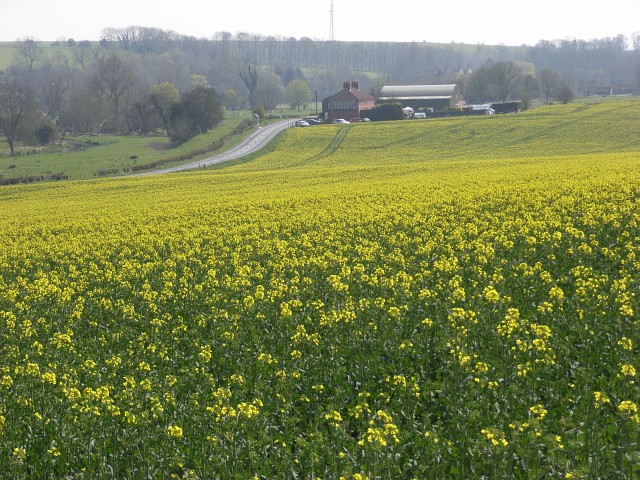
Littlecott is a small village located in the county of Wiltshire, England. Situated approximately 6 miles southeast of the town of Marlborough, Littlecott is nestled amidst the picturesque countryside of the Pewsey Vale. The village is part of the civil parish of Alton and is surrounded by charming rural landscapes, offering residents and visitors an idyllic countryside retreat.

Littlecott has a population of around 200 inhabitants and is known for its peaceful and close-knit community. The village consists mainly of traditional stone cottages with well-maintained gardens, contributing to its quintessential English village charm. The local architecture is predominantly made up of historic buildings, including a 15th-century church, St. Mary's, which stands as a prominent landmark in the village.

While Littlecott may be small in size, it boasts a range of amenities for its residents. These include a village hall, a primary school, and a local pub, offering a gathering place for socializing and community events. The village has limited commercial activity, with most residents commuting to nearby towns for work and shopping needs.

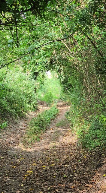
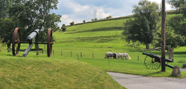
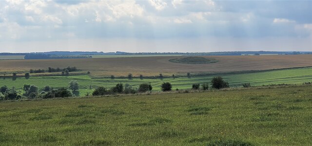
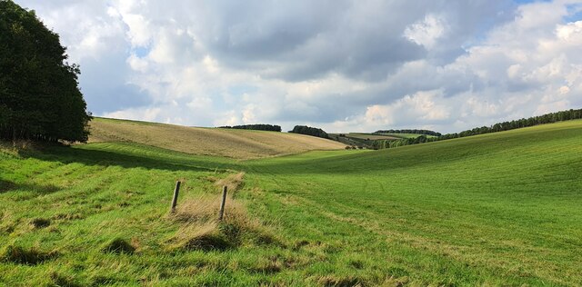
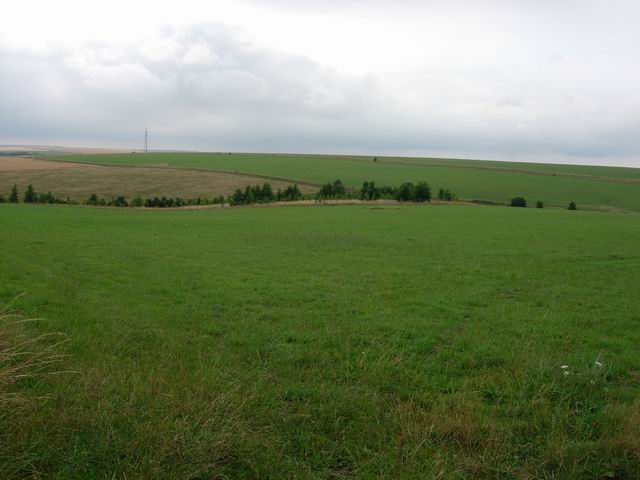
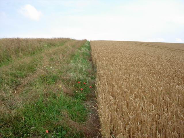
Nature lovers can explore the stunning countryside surrounding Littlecott, with ample walking and cycling routes available in the area. The village also benefits from its proximity to the North Wessex Downs Area of Outstanding Natural Beauty, providing residents with further opportunities for outdoor activities and exploration.

Overall, Littlecott offers a tranquil and picturesque setting for those seeking a serene rural lifestyle, while still being within reach of larger towns and amenities.

If you have any feedback on the listing, please let us know in the comments section below.
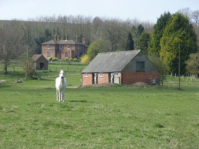
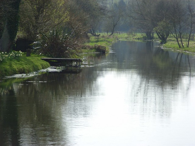
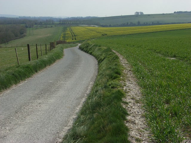
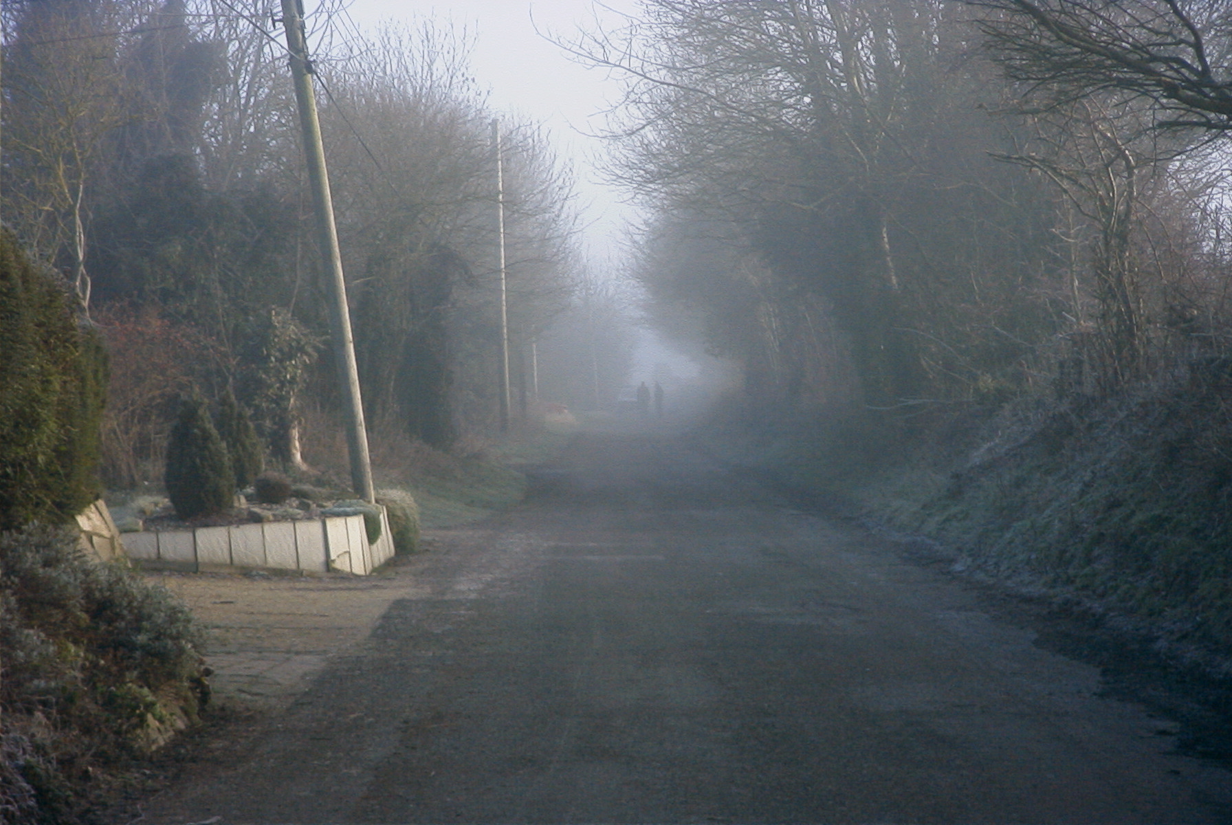
Littlecott Images

Images are sourced within 2km of 51.264672/-1.794867 or Grid Reference SU1451. Thanks to Geograph Open Source API. All images are credited.

West Chisenbury Farm, Wiltshire A hesco observation post on Salisbury Plain Training Area in the vicinity of West Chisenbury Farm. Hesco is the term for a modern military defensive system made of collapsible wire mesh containers with heavy-duty fabric liners, and used as a temporary to semi-permanent blast wall against small-arms fire and/or explosives. It has seen considerable use in Iraq and Afghanistan.
West Chisenbury Farm, Wiltshire
A hesco observation post on Salisbury Plain Training Area in the vicinity of West Chisenbury Farm. Hesco is the term for a modern military defensive system made of collapsible wire mesh containers with heavy-duty fabric liners, and used as a temporary to semi-permanent blast wall against small-arms fire and/or explosives. It has seen considerable use in Iraq and Afghanistan.
Water Dean Bottom, Wiltshire A water pumping station on Water Dean Bottom, in the vicinity of Compton Farm.
Water Dean Bottom, Wiltshire
A water pumping station on Water Dean Bottom, in the vicinity of Compton Farm.
Water Dean Bottom, Wiltshire Pasture land on Water Dean Bottom in the vicinity of Compton Farm.
Water Dean Bottom, Wiltshire
Pasture land on Water Dean Bottom in the vicinity of Compton Farm.
Compton Farm, Wiltshire A shady bridleway heading north in the vicinity of Compton Farm.
Compton Farm, Wiltshire
A shady bridleway heading north in the vicinity of Compton Farm.
Compton Farm, Wiltshire A cheery Zebedee sculpture standing on a gate post at Compton Farm.
Compton Farm, Wiltshire
A cheery Zebedee sculpture standing on a gate post at Compton Farm.
Compton Farm, Wiltshire Fully defended pasture land at Compton Farm!
Compton Farm, Wiltshire
Fully defended pasture land at Compton Farm!
Compton Farm, Wiltshire An old military danger sign in the grounds of Compton Farm.
Compton Farm, Wiltshire
An old military danger sign in the grounds of Compton Farm.
Compton Farm, Wiltshire A lovey sign reading 'Fresh Eggs' on the side of a chicken coup at Compton Farm.
Compton Farm, Wiltshire
A lovey sign reading 'Fresh Eggs' on the side of a chicken coup at Compton Farm.
West Chisenbury Farm, Wiltshire Looking over farmland in the vicinity of West Chisenbury Farm. In the far distance a large tumulus can be seen in a ploughed field.
West Chisenbury Farm, Wiltshire
Looking over farmland in the vicinity of West Chisenbury Farm. In the far distance a large tumulus can be seen in a ploughed field.
West Chisenbury Farm, Wiltshire Looking west along an old field boundary in the vicinity of West Chisenbury Farm.
West Chisenbury Farm, Wiltshire
Looking west along an old field boundary in the vicinity of West Chisenbury Farm.
Rainbow Bottom Another area of farming around the edge of the open training area, but inside the danger area.
Rainbow Bottom
Another area of farming around the edge of the open training area, but inside the danger area.
Wheat and path Bridleway going up next to the crop - few field boundaries in this area.
Wheat and path
Bridleway going up next to the crop - few field boundaries in this area.
Dreweatt's Barn The lack of hedges continues the open feel of the area into the farmland.
Dreweatt's Barn
The lack of hedges continues the open feel of the area into the farmland.
Oil-seed rape, West Chisenbury Looking down to West Chisenbury and the A345.
Oil-seed rape, West Chisenbury
Looking down to West Chisenbury and the A345.
West Chisenbury Farm Looking up from the west side of the Avon.
West Chisenbury Farm
Looking up from the west side of the Avon.
River Avon, Enford Looking downstream from the road bridge.
River Avon, Enford
Looking downstream from the road bridge.
Lane and farmland, Enford Zigzagging stretch of the lane leading to Enford Farm.
Lane and farmland, Enford
Zigzagging stretch of the lane leading to Enford Farm.
Farmland, Enford On the line of an unused bridleway.
Farmland, Enford
On the line of an unused bridleway.
Show me another place!

Littlecott is located at Grid Ref: SU1451 (Lat: 51.264672, Lng: -1.794867)

Unitary Authority: Wiltshire

Police Authority: Wiltshire

What 3 Words

///spaces.stiffly.stuck. Near Rushall, Wiltshire

Nearby Locations

Longstreet Littlecott

Related Wikis

Enford

Enford is a village and civil parish in Wiltshire, England, in the northeast of Salisbury Plain. The village lies 10 miles (16 km) southeast of Devizes...

Chisenbury Priory

Chisenbury Priory is a Grade II* listed house in East Chisenbury, Wiltshire, England. It dates from the later seventeenth century with a mid eighteenth...

A345 road

The A345 is a secondary A road in Wiltshire, England running from Salisbury to Marlborough and the A4. The road is a main south–north link across Salisbury...

Coombe, Enford

Coombe is a hamlet of the civil parish of Enford, Wiltshire, England, about 13 miles (21 km) north of the cathedral city of Salisbury. It lies on the River...

Nearby Amenities

Located within 500m of 51.264672,-1.794867
Odbl: clean
Lat/Long: 51.2651906/-1.7974893
Odbl: clean
Lat/Long: 51.264492/-1.7977043
Odbl: clean
Lat/Long: 51.2623899/-1.7985289
Odbl: clean
Lat/Long: 51.2656146/-1.801894
Odbl: clean
Lat/Long: 51.2657115/-1.8015307
Odbl: clean
Lat/Long: 51.2658499/-1.8011502
Odbl: clean
Lat/Long: 51.2659779/-1.8010706
Odbl: clean
Lat/Long: 51.2661336/-1.800991
Odbl: clean
Lat/Long: 51.2661612/-1.8008907
Odbl: clean
Lat/Long: 51.2661439/-1.8006312
Odbl: clean
Lat/Long: 51.2659952/-1.8000258
Odbl: clean
Lat/Long: 51.2659087/-1.7995311
Pub
The Swan Inn
Addr Housename: The Swan Inn
Addr Postcode: SN9 6DD
Addr Street: Longstreet
Food: yes
Phone: +441980 670338
Wikidata: Q26647218
Lat/Long: 51.2618311/-1.7978899
Littlecroft Farm
Place: hamlet
Lat/Long: 51.2666588/-1.7988059
Note: 30mph/national limit boundary here
Lat/Long: 51.2641506/-1.7964171
Man Made: tower
Tower Type: communication
Lat/Long: 51.2657432/-1.793105
Post Box
Brand: Royal Mail
Brand Wikidata: Q638098
Collection Times: Mo-Fr 16:00, Sa 07:45
Drive Through: no
Mapillary: 470395038057405
Operator: Royal Mail
Operator Wikidata: Q638098
Post Box Mounting: brick_wall
Post Box Type: wall
Ref: SN9 72
Royal Cypher: GVIR
Royal Cypher Wikidata: Q33102169
Survey Date: 2021-06-13
Lat/Long: 51.2623185/-1.7975366
Defibrillator
Defibrillator Location: On outside of stone building near junction of Long Street and Enford Hill
Emergency: defibrillator
Indoor: no
Lat/Long: 51.2622531/-1.7976822
Post Box
Brand: Royal Mail
Brand Wikidata: Q638098
Collection Times: Mo-Fr 09:00; Sa 07:00
Drive Through: no
Operator: Royal Mail
Operator Wikidata: Q638098
Post Box Type: lamp
Ref: SN9 154D
Royal Cypher: EIIR
Royal Cypher Wikidata: Q33102113
Lat/Long: 51.2631601/-1.7952744
Post Box
Brand: Royal Mail
Brand Wikidata: Q638098
Collection Times: Mo-Fr 09:00; Sa 07:00
Drive Through: no
Operator: Royal Mail
Operator Wikidata: Q638098
Post Box Type: lamp
Ref: SN9 163D
Royal Cypher: EIIR
Royal Cypher Wikidata: Q33102113
Lat/Long: 51.2628958/-1.8003344
The data included in this document is from www.openstreetmap.org. The data is made available under ODbL.

Have you been to Littlecott?

Leave your review of Littlecott below (or comments, questions and feedback).