Bath Side
Settlement in Essex Tendring
England
Bath Side

Bath Side is a small village located in the county of Essex, England. Situated on the banks of the River Crouch, it is a picturesque and tranquil place with a population of around 500 residents. The village is nestled amidst the stunning rural landscapes of the region, offering a peaceful retreat from the bustling city life.
Historically, Bath Side has been an agricultural community, and remnants of its rural past can still be seen in the surrounding fields and farmlands. The village is characterized by its charming old cottages and quaint houses, which give it a traditional English village feel. The local architecture is a mix of different eras, with some buildings dating back to the 16th century.
The center of Bath Side is dominated by the village green, a communal open space where locals gather for events and fairs. The green is surrounded by a few local amenities, including a cozy pub, a village hall, and a small shop that caters to the basic needs of the residents.
Nature enthusiasts will find Bath Side to be a paradise, as it is surrounded by beautiful countryside. The River Crouch offers opportunities for boating and fishing, while the nearby woodlands provide ample space for hiking and exploring.
Despite its small size, Bath Side is well-connected to the neighboring towns and cities. It is located just a short drive away from the larger town of Maldon, where residents can find a wider range of amenities including supermarkets, schools, and medical facilities.
Overall, Bath Side is a charming and idyllic village that offers a peaceful lifestyle in the heart of the Essex countryside.
If you have any feedback on the listing, please let us know in the comments section below.
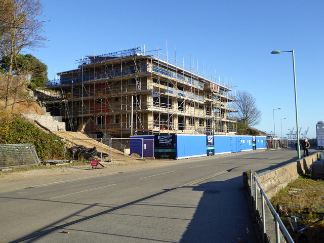
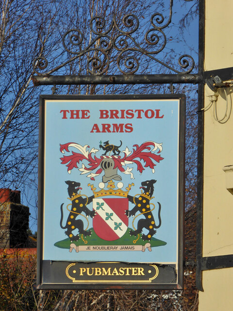
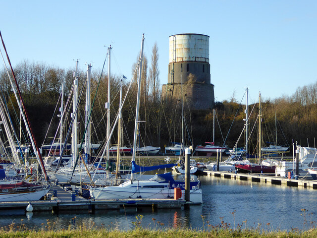
Bath Side Images
Images are sourced within 2km of 51.942974/1.282764 or Grid Reference TM2532. Thanks to Geograph Open Source API. All images are credited.


Bath Side is located at Grid Ref: TM2532 (Lat: 51.942974, Lng: 1.282764)
Administrative County: Essex
District: Tendring
Police Authority: Essex
What 3 Words
///strictest.next.storyline. Near Harwich, Essex
Nearby Locations
Related Wikis

Bath Side Battery
Bath Side Battery was built in 1811 to cover the anchorage of the port of Harwich, Essex, England as part of the same complex as the Redoubt, armed with...
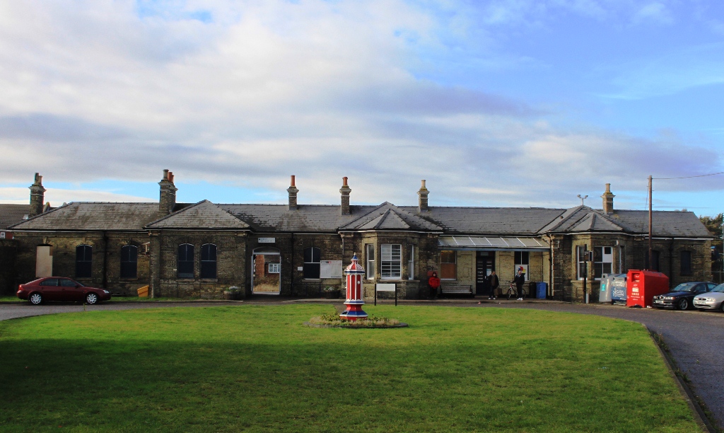
Harwich Town railway station
Harwich Town railway station is the eastern terminus of the Mayflower Line, a branch of the Great Eastern Main Line, in the East of England, serving the...
Harwich Mayflower Heritage Centre
The Harwich Mayflower Heritage Centre (formerly Project) is a museum and charitable community project whose main goal is to establish a "legacy for Essex...

Harwich Redoubt
Harwich Redoubt is a circular fort built in 1808 to defend the port of Harwich, Essex from Napoleonic invasion. The Harwich Society opens it to the public...
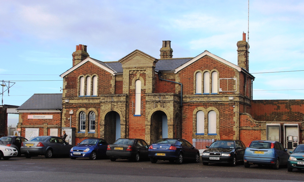
Dovercourt railway station
Dovercourt railway station is on the Mayflower Line, a branch of the Great Eastern Main Line, in the East of England, serving the seaside town of Dovercourt...
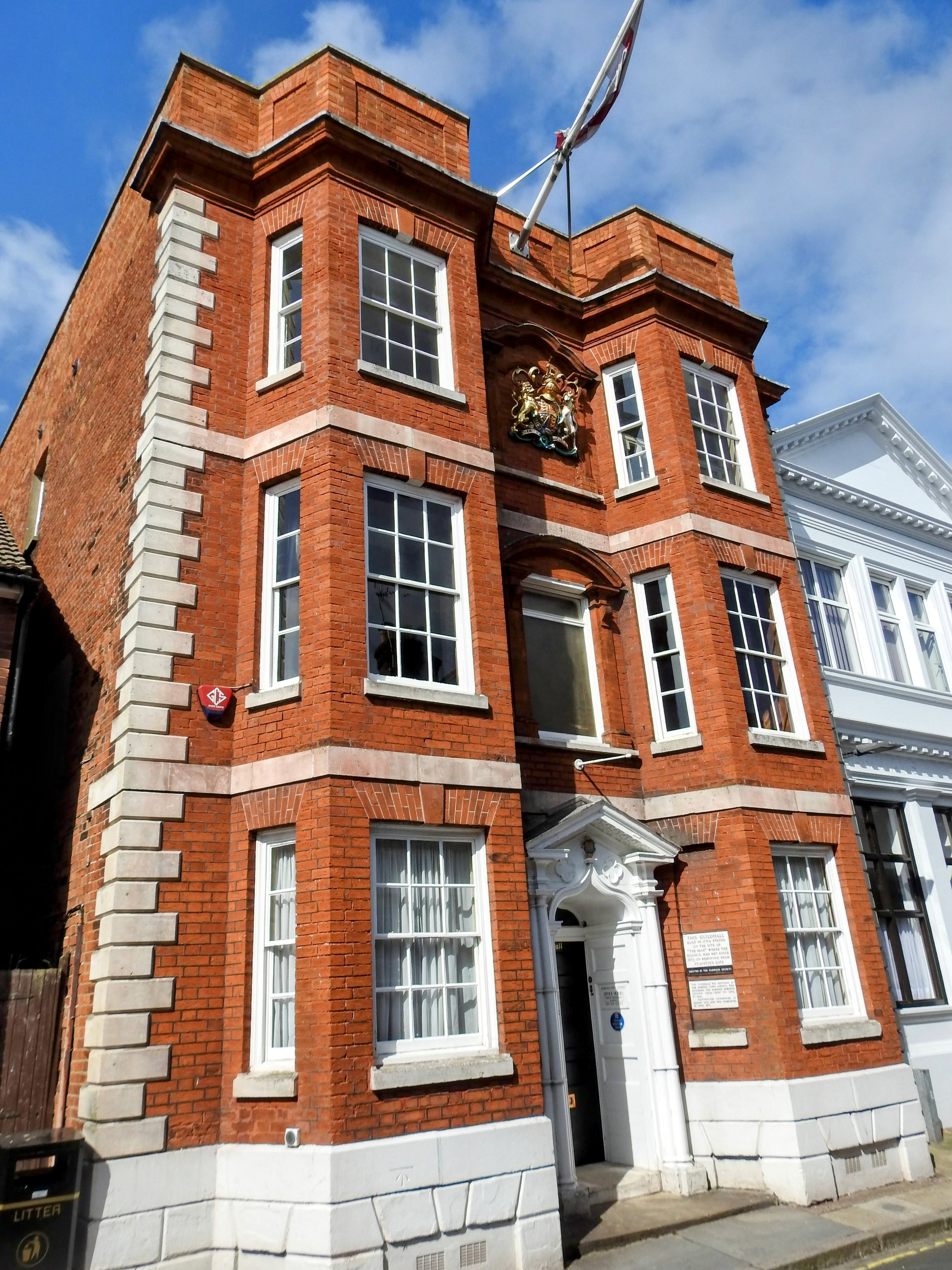
Harwich Guildhall
Harwich Guildhall is a municipal building in Church Street, Harwich, Essex, England. The structure, which accommodates the offices of Harwich Town Council...
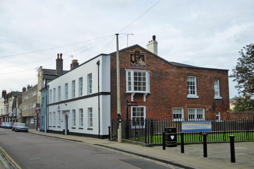
Three Cups, Harwich
The Three Cups was a historic public house and hotel which played a prominent role in Harwich until it was converted to a private house in 1995. The current...

Harwich Dockyard
Harwich Dockyard (also known as The King's Yard, Harwich) was a Royal Navy Dockyard at Harwich in Essex, active in the 17th and early 18th century (after...
Nearby Amenities
Located within 500m of 51.942974,1.282764Have you been to Bath Side?
Leave your review of Bath Side below (or comments, questions and feedback).