Bay of Cruden
Bay in Aberdeenshire
Scotland
Bay of Cruden
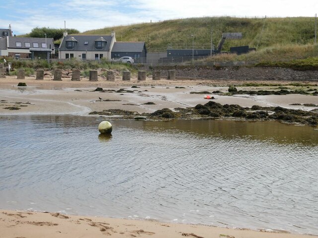
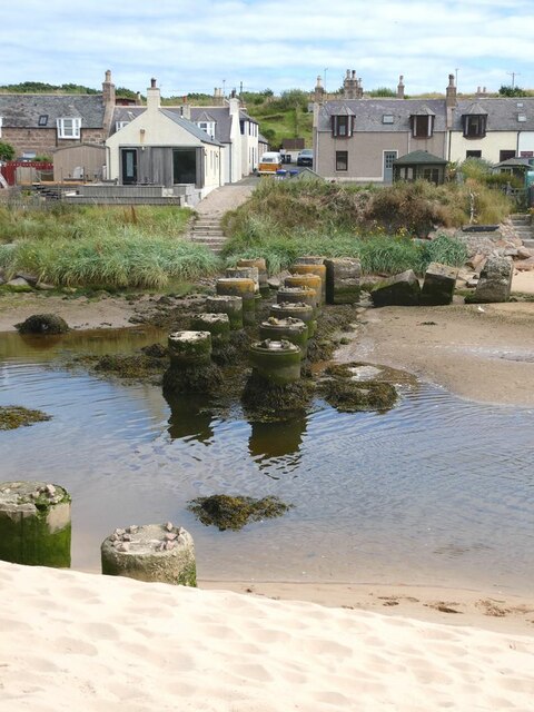
The Bay of Cruden is a picturesque coastal area located in Aberdeenshire, Scotland. It is situated about 23 miles north of Aberdeen and can be accessed via the A975 road. The bay is nestled between the villages of Cruden Bay and Port Erroll, offering visitors a tranquil and scenic escape.
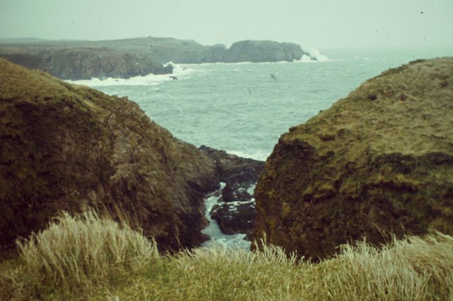
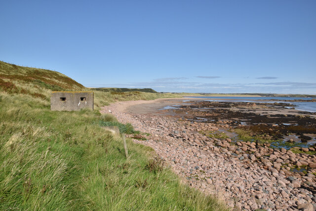
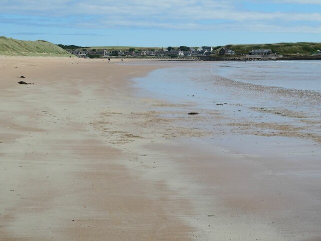
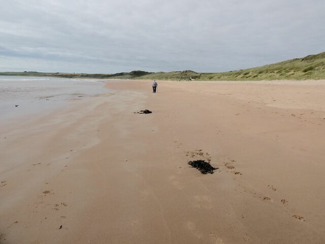
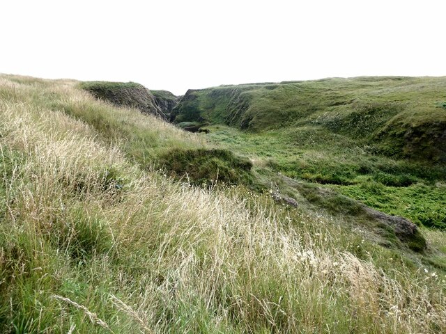
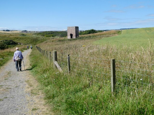
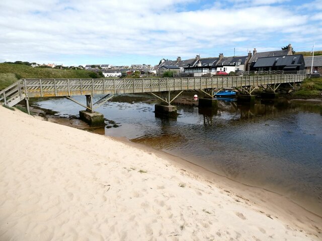
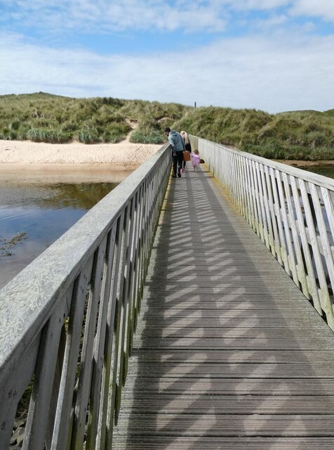
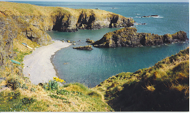
The Bay of Cruden is known for its stunning sandy beach, which stretches for over a mile and is backed by dunes and cliffs. The beach is a popular destination for locals and tourists alike, offering opportunities for sunbathing, picnicking, and leisurely walks along the shore. The bay's clear waters also make it an ideal spot for swimming, although caution is advised due to strong currents at times.
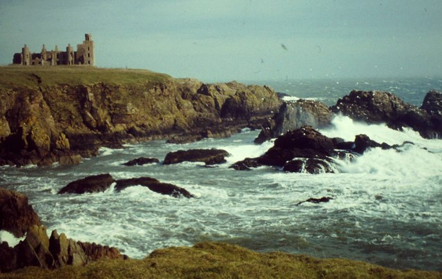
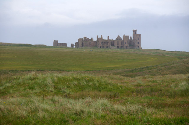
One of the notable features of the Bay of Cruden is the imposing Slains Castle, perched on the cliffs overlooking the bay. Although now in ruins, the castle holds a rich history and is said to have inspired Bram Stoker's Dracula. Visitors can explore the castle's grounds and take in the breathtaking views of the surrounding coastline.
The bay is also a haven for wildlife enthusiasts, with a variety of bird species frequenting the area, including puffins, kittiwakes, and fulmars. Seal sightings are also common, adding to the natural beauty of the bay.
In summary, the Bay of Cruden in Aberdeenshire offers visitors a serene coastal experience, with its beautiful sandy beach, historic castle, and abundant wildlife. It is a must-visit destination for nature lovers and those seeking a peaceful retreat.
If you have any feedback on the listing, please let us know in the comments section below.
Bay of Cruden Images
Images are sourced within 2km of 57.402854/-1.8515448 or Grid Reference NK0934. Thanks to Geograph Open Source API. All images are credited.
Bay of Cruden is located at Grid Ref: NK0934 (Lat: 57.402854, Lng: -1.8515448)
Unitary Authority: Aberdeenshire
Police Authority: North East
What 3 Words
///saga.book.gems. Near Port Erroll, Aberdeenshire
Nearby Locations
Related Wikis

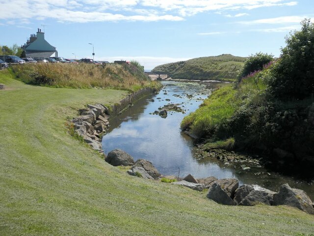
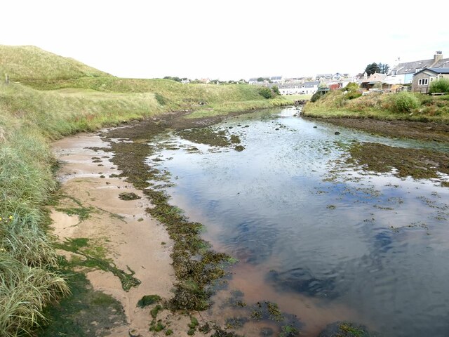
Water of Cruden
The Water of Cruden is a short broadly east-flowing river in Buchan in northeast Scotland. Its headwaters streams rise in the countryside north of Ellon...

Cruden Bay Hotel
Cruden Bay Hotel was a hotel in Cruden Bay, Aberdeenshire, Scotland. Following the success of the Palace Hotel in Aberdeen, it was built between 1897 and...

Cruden Bay
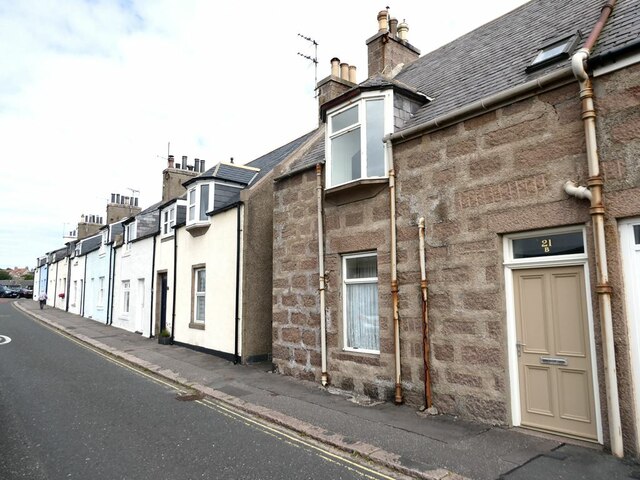
Cruden Bay is a small village in Scotland, on the north coast of the Bay of Cruden in Aberdeenshire, 26 miles (42 km) north of Aberdeen. Just west of Slains...

Cruden Bay Hotel Tramway
The Cruden Bay Hotel Tramway operated an electric tramway service between the Cruden Bay Hotel and Cruden Bay railway station between 1899 and 1940....

New Slains Castle
Slains Castle, also known as New Slains Castle to distinguish it from the nearby Old Slains Castle, is a ruined castle in Aberdeenshire, Scotland. It overlooks...
Whinnyfold
Whinnyfold or Whinneyfold is a small coastal village at the southern end of the Bay of Cruden in Aberdeenshire, Scotland. Whinnyfold (locally pronounced...

Cruden Bay railway station
Cruden Bay railway station was a railway station serving Cruden Bay, Aberdeenshire, Scotland. == History == The station opened on 2 August 1897.The station...

St Olaf's Church (Cruden)
St Olaf's Church (also known as Old Parish Church) is a Category B listed building in Cruden, Aberdeenshire, Scotland, dating to 1776. It is of Church...
Nearby Amenities
Located within 500m of 57.402854,-1.8515448Have you been to Bay of Cruden?
Leave your review of Bay of Cruden below (or comments, questions and feedback).