Bay of Sandquoy

Bay in Orkney

Scotland

Bay of Sandquoy

Wreck of B-98, Bay of Lopness, Sanday Remains of a World War 1 German Torpedo Ship-Destroyer stranded at Bay of Lopness in 1920 when being towed to Rosyth to be broken up.
Wreck of B-98, Bay of Lopness, Sanday Credit: Alpin Stewart

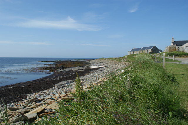
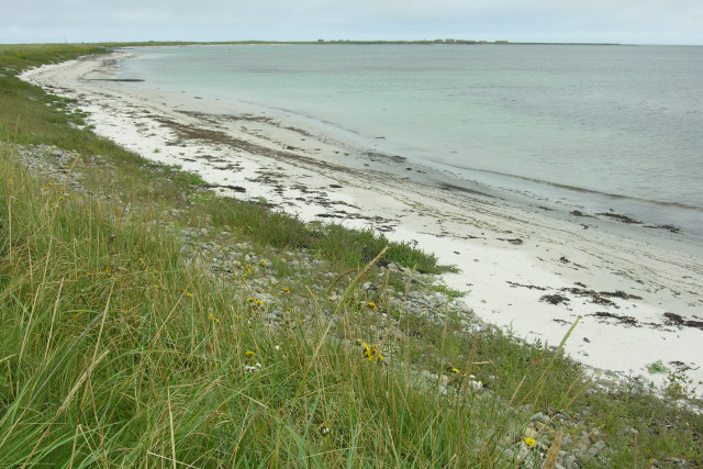
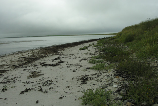
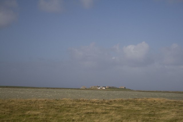
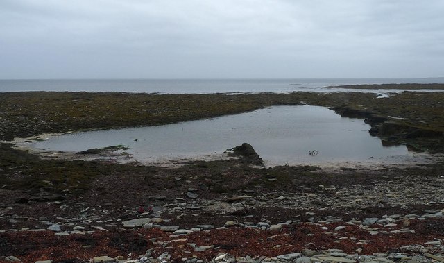
The Bay of Sandquoy is a picturesque body of water located in Orkney, an archipelago in northern Scotland. Situated on the eastern coast of the mainland, the bay is nestled between the historic town of Kirkwall and the village of St. Ola. It stretches approximately 2 kilometers in length and offers stunning views of the surrounding landscape.

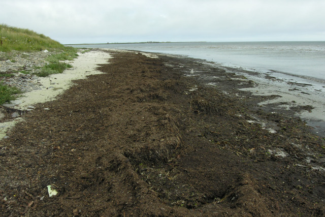
The bay is known for its sandy beaches, which are a popular attraction for locals and tourists alike. The golden sands are soft and inviting, making it an ideal spot for sunbathing, picnicking, or leisurely walks along the shore. The clear waters of the bay also make it a great location for swimming and other water activities.

The area surrounding the Bay of Sandquoy is rich in biodiversity and provides a habitat for a variety of flora and fauna. Birdwatchers can spot numerous species of seabirds, such as fulmars and guillemots, nesting on the cliffs that flank the bay. The rocky outcrops and seaweed-covered rocks are also home to a diverse range of marine life, including crabs, lobsters, and various fish species.

In addition to its natural beauty, the Bay of Sandquoy holds historical significance. The remains of a Viking settlement were discovered nearby, highlighting the area's rich cultural heritage. Visitors can explore the archaeological sites and learn about the Viking history that once thrived in this coastal region.

Overall, the Bay of Sandquoy is a captivating destination that offers a combination of natural beauty, recreational opportunities, and historical intrigue.

If you have any feedback on the listing, please let us know in the comments section below.

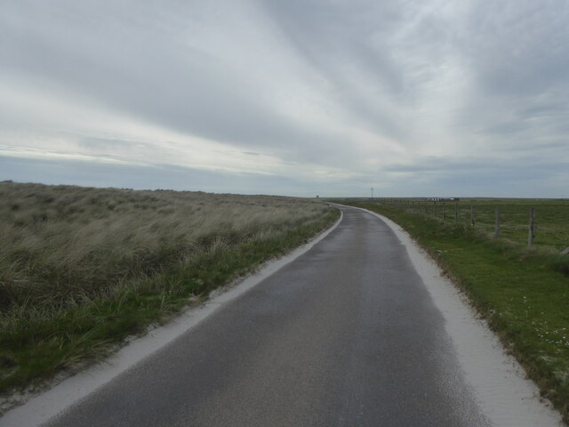
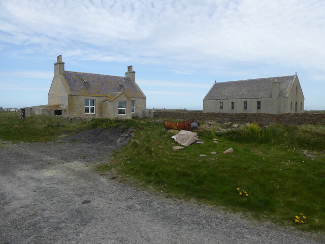
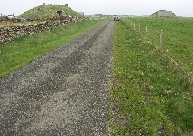
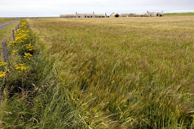
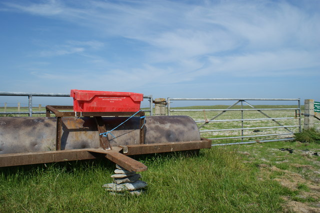
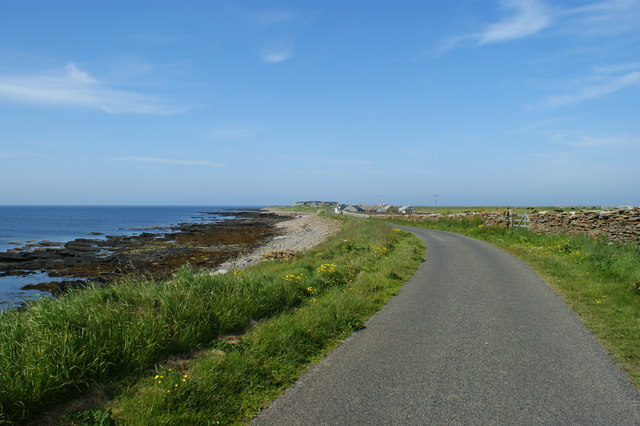
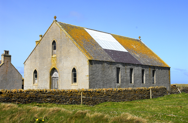
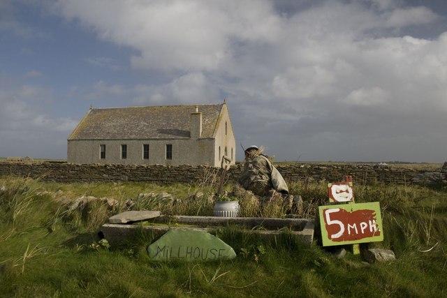
Bay of Sandquoy Images

Images are sourced within 2km of 59.294172/-2.4603678 or Grid Reference HY7345. Thanks to Geograph Open Source API. All images are credited.

Wreck of B-98, Bay of Lopness, Sanday Remains of a World War 1 German Torpedo Ship-Destroyer stranded at Bay of Lopness in 1920 when being towed to Rosyth to be broken up.
Wreck of B-98, Bay of Lopness, Sanday
Remains of a World War 1 German Torpedo Ship-Destroyer stranded at Bay of Lopness in 1920 when being towed to Rosyth to be broken up.
B9069 by Bay of Lopness, Sanday
Disused house and church at Rusness, Sanday
Whalehead WWII Chain Home radar station (Reserve site) Isle of Sanday, Orkney
Whalehead WWII Chain Home radar station (Reserve site)
Isle of Sanday, Orkney
WW2 Mortuary on Sanday Only remaining building of the camp associated with the RAF Whalehead Chain Home radar station on Isle of Sanday in the Orkney Islands.
WW2 Mortuary on Sanday
Only remaining building of the camp associated with the RAF Whalehead Chain Home radar station on Isle of Sanday in the Orkney Islands.
WW1 Shipwreck, Bay of Lopness, Sanday, Orkney Wreck of the german Destroyer B98 BOS, run aground in 1919 at Lopness Bay, Sanday, Orkney. Lop Ness in the background <a href="https://www.geograph.org.uk/gridref/HY7543">HY7543</a>

There is an information board and picnic site on the dunes close to the wreck.
WW1 Shipwreck, Bay of Lopness, Sanday, Orkney
Wreck of the german Destroyer B98 BOS, run aground in 1919 at Lopness Bay, Sanday, Orkney. Lop Ness in the background HY7543 There is an information board and picnic site on the dunes close to the wreck.
Galilee Deserted houses in the north-east of Sanday
Galilee
Deserted houses in the north-east of Sanday
Lopness Foreshore and German WW1 Shipwreck Taken from the picnic table and car park at Bay of Lopness. The destroyer was on its way to be interned in Scapa Flow when she ran aground.
Lopness Foreshore and German WW1 Shipwreck
Taken from the picnic table and car park at Bay of Lopness. The destroyer was on its way to be interned in Scapa Flow when she ran aground.
Field roller at gateside, in the northwest of Sanday Sandy field in background shows why the Vikings named the island Sanday (= sand island)
Field roller at gateside, in the northwest of Sanday
Sandy field in background shows why the Vikings named the island Sanday (= sand island)
Rocky foreshore and croft on Northwall peninsula Coastal scenery on north eastern peninsula of the island of Sanday
Rocky foreshore and croft on Northwall peninsula
Coastal scenery on north eastern peninsula of the island of Sanday
Road alongside Bay of Sandquoy Road runs alongside the eastern shore of the Bay of Sandquoy , only just above the high tide level on the island of Sanday.
Road alongside Bay of Sandquoy
Road runs alongside the eastern shore of the Bay of Sandquoy , only just above the high tide level on the island of Sanday.
Disused Sanday church There were three parishes on Sanday at one time. They are now combined, but this is one of the original churches.
Disused Sanday church
There were three parishes on Sanday at one time. They are now combined, but this is one of the original churches.
Bay of Lopness, Sanday Looking East across the shallow Bay of Lopness.
Bay of Lopness, Sanday
Looking East across the shallow Bay of Lopness.
Looking South West across the Bay of Lopness, Sanday Looking across the shallow Bay of Lopness with Long Taing of Newark in the distance.
Looking South West across the Bay of Lopness, Sanday
Looking across the shallow Bay of Lopness with Long Taing of Newark in the distance.
Looking East South East across the Bay of Lopness, Sanday Looking across the Bay of Lopness towards Lopness in the far distance.
Looking East South East across the Bay of Lopness, Sanday
Looking across the Bay of Lopness towards Lopness in the far distance.
North Loch, Sanday, Orkney With Tofts farm in the distance.
North Loch, Sanday, Orkney
With Tofts farm in the distance.
Scarecrow near Millhouse, Sanday, Orkney Disused Parish Church in background. See <a title="https://www.geograph.org.uk/photo/1898799" href="https://www.geograph.org.uk/photo/1898799">Link</a>
Scarecrow near Millhouse, Sanday, Orkney
Disused Parish Church in background. See Link
Tidal pool, Taing of Tor Sker, Sanday, Orkney The Tofts Ness peninsula can just be seen on the far right horizon.

The pool has possibly been used as a fish trap in the past (ref <span class="nowrap"><a title="http://canmore.rcahms.gov.uk/en/site/306735/details/sanday+taing+of+tor+sker/" rel="nofollow ugc noopener" href="http://canmore.rcahms.gov.uk/en/site/306735/details/sanday+taing+of+tor+sker/">Link</a><img style="margin-left:2px;" alt="External link" title="External link - shift click to open in new window" src="https://s1.geograph.org.uk/img/external.png" width="10" height="10"/></span> ).
Tidal pool, Taing of Tor Sker, Sanday, Orkney
The Tofts Ness peninsula can just be seen on the far right horizon. The pool has possibly been used as a fish trap in the past (ref LinkExternal link ).
Show me another place!

Bay of Sandquoy is located at Grid Ref: HY7345 (Lat: 59.294172, Lng: -2.4603678)

Unitary Authority: Orkney Islands

Police Authority: Highlands and Islands

What 3 Words

///serenade.verbs.cattle. Near Hollandstoun, Orkney Islands

Related Wikis

East Sanday Coast

The East Sanday Coast is a protected wetland area on and around the island of Sanday, the third-largest of the Orkney islands off the north coast of Scotland...

Scar boat burial

The Scar boat burial is a Viking boat burial near the village of Scar, on Sanday, in Orkney, Scotland. The burial, which dates to between 875 and 950 AD...

Broch of Burrian

The Broch of Burrian is an Iron Age broch located on North Ronaldsay in the Orkney Islands, in Scotland (grid reference HY76275138). == Location == The...

Scar, Orkney

Scar is a village and farm complex on the island of Sanday in Orkney, Scotland. The B9068 road runs from Scar to Kettletoft. The Scar boat burial was found...

Bustatoun

Bustatoun is a village on the island of North Ronaldsay, in Orkney, Scotland. The settlement is within the parish of Cross and Burness. == References... ==

Sanday, Orkney

Sanday (, Scots: Sandee) is one of the inhabited islands of Orkney that lies off the north coast of mainland Scotland. With an area of 50.43 km2 (19.5...

Sanday Airport

Sanday Airport (IATA: NDY, ICAO: EGES) is located 20 NM (37 km; 23 mi) north northeast of Kirkwall Airport on Sanday, Orkney Islands, Scotland. Sanday...

North Ronaldsay Airport

North Ronaldsay Airport (IATA: NRL, ICAO: EGEN) is located on North Ronaldsay island, 28 NM (52 km; 32 mi) northeast by north of Kirkwall, Orkney Islands...

Nearby Amenities

Located within 500m of 59.294172,-2.4603678
Bay of Sandquoy
Natural: bay
Lat/Long: 59.2916411/-2.4596286
The data included in this document is from www.openstreetmap.org. The data is made available under ODbL.

Have you been to Bay of Sandquoy?

Leave your review of Bay of Sandquoy below (or comments, questions and feedback).