The Pow

Bay in Orkney

Scotland

The Pow

Cave Entrance Whale Geo Stronsay Cave entrance Whale Geo Stronsay. Cave runs under Land Head from Whale Geo to Lamb Bay.
Cave Entrance Whale Geo Stronsay Credit: William Hodgson

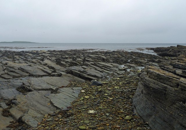
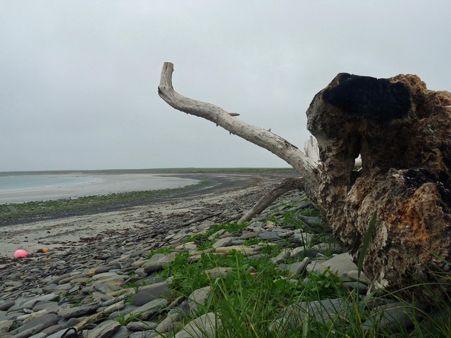
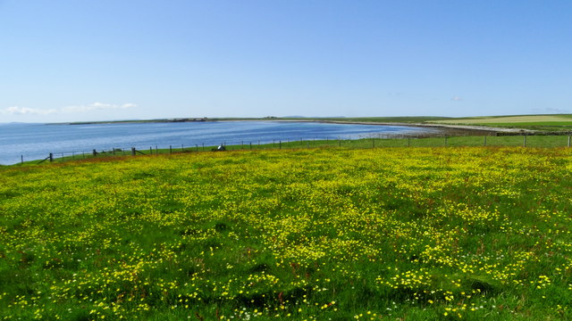
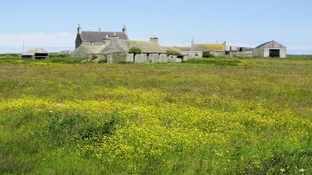
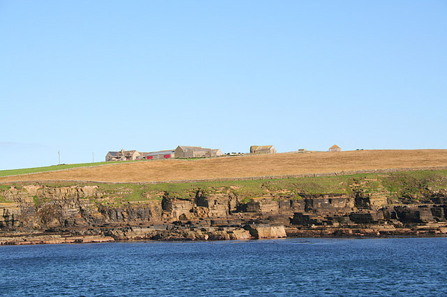
The Pow, also known as Orkney Bay, is a picturesque and secluded inlet located on the west coast of Orkney Mainland in Scotland. Surrounded by rugged cliffs and rolling hills, The Pow offers a tranquil and scenic setting for visitors to enjoy.

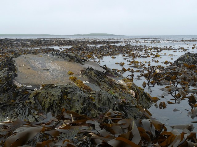
The bay is home to a variety of wildlife, including seals, seabirds, and occasionally even otters. The clear waters of The Pow are perfect for swimming, snorkeling, and kayaking, providing visitors with the opportunity to explore the marine life and underwater landscapes of the area.

The Pow is also a popular spot for fishing, with a variety of fish species such as cod, haddock, and mackerel found in the waters of the bay. Visitors can try their hand at fishing from the shore or take a boat out onto the water for a more immersive experience.

The surrounding area of The Pow offers numerous walking and hiking trails, allowing visitors to explore the stunning coastal scenery and enjoy panoramic views of the bay and surrounding countryside. With its natural beauty and peaceful atmosphere, The Pow is a hidden gem waiting to be discovered by nature lovers and outdoor enthusiasts.

If you have any feedback on the listing, please let us know in the comments section below.
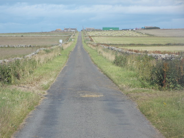
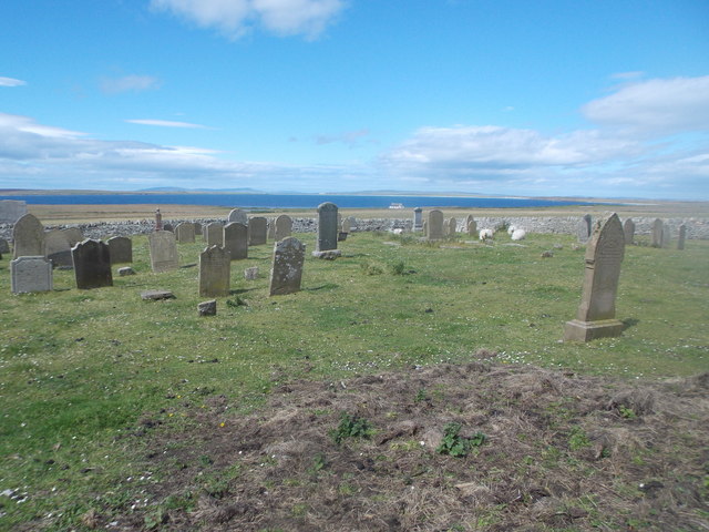
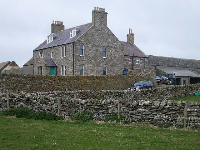
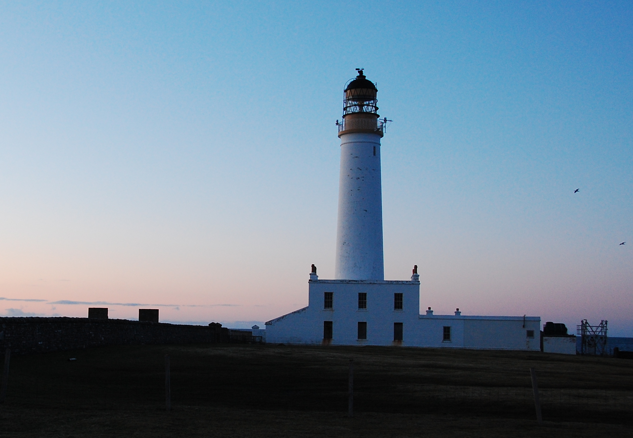
The Pow Images

Images are sourced within 2km of 59.082291/-2.5692399 or Grid Reference HY6721. Thanks to Geograph Open Source API. All images are credited.

Cave Entrance Whale Geo Stronsay Cave entrance Whale Geo Stronsay. Cave runs under Land Head from Whale Geo to Lamb Bay.
Cave Entrance Whale Geo Stronsay
Cave entrance Whale Geo Stronsay. Cave runs under Land Head from Whale Geo to Lamb Bay.
Langa Mae, Stronsay, Orkney Looking towards Lamb Head.
Langa Mae, Stronsay, Orkney
Looking towards Lamb Head.
Kelp forest, Langa Mae, Stronsay, Orkney Looking towards Lamb Head.
Kelp forest, Langa Mae, Stronsay, Orkney
Looking towards Lamb Head.
Sand of the Crook and ayre, Stronsay, Orkney Behind the ayre (shingle bank) is <a href="https://www.geograph.org.uk/photo/1086440">HY6621 : Lea Shun</a> loch.
Sand of the Crook and ayre, Stronsay, Orkney
Behind the ayre (shingle bank) is HY6621 : Lea Shun loch.
The Danes' Pier, Lamb  Ness, Stronsay, Orkney From <span class="nowrap"><a title="http://canmore.rcahms.gov.uk/en/site/3382/details/stronsay+the+danes+pier" rel="nofollow ugc noopener" href="http://canmore.rcahms.gov.uk/en/site/3382/details/stronsay+the+danes+pier">Link</a><img style="margin-left:2px;" alt="External link" title="External link - shift click to open in new window" src="https://s1.geograph.org.uk/img/external.png" width="10" height="10"/></span> : "In spite of the persistent tradition of artificial construction, this remarkable L-shaped boulder-spit off the S side of Lamb Ness is nowadays dismissed as a natural formation. While there is certainly no indication of built structures, and the natural origin must be accepted, the parallel with features in Sanday and Papa Westray require that the matter be given further thought."
The Danes' Pier, Lamb Ness, Stronsay, Orkney
From LinkExternal link : "In spite of the persistent tradition of artificial construction, this remarkable L-shaped boulder-spit off the S side of Lamb Ness is nowadays dismissed as a natural formation. While there is certainly no indication of built structures, and the natural origin must be accepted, the parallel with features in Sanday and Papa Westray require that the matter be given further thought."
Stronsay: postbox № KW17 50, South School A Victorian postbox set into one of the pillars at the gateway of the old South School, now a private house.
Stronsay: postbox № KW17 50, South School
A Victorian postbox set into one of the pillars at the gateway of the old South School, now a private house.
Stronsay: the road to Holland Actually the road FROM Holland in this view.
Stronsay: the road to Holland
Actually the road FROM Holland in this view.
Stronsay: cemetery at Holland A quite large, square, walled cemetery opposite Holland Farm, with a few sheep grazing within.
Stronsay: cemetery at Holland
A quite large, square, walled cemetery opposite Holland Farm, with a few sheep grazing within.
On Stronsay - Trig point at Burgh Hill
On Stronsay - Meadow between Lamb Bay & Bay of Houseby
On Stronsay - Lamb Bay from Lamb Head Un-excavated broch in foreground.
On Stronsay - Lamb Bay from Lamb Head
Un-excavated broch in foreground.
On Stronsay - Rocky coast, W of Whale Geo, Lamb Head
On Stronsay - Eastern end of Bay of Houseby
On Stronsay - Washed up buoy, Bay of Houseby 'Houston, we have a problem!'
On Stronsay - Washed up buoy, Bay of Houseby
'Houston, we have a problem!'
On Stronsay - washed up buoy, Bay of Houseby (detail) Close up view of rusting ironwork.
On Stronsay - washed up buoy, Bay of Houseby (detail)
Close up view of rusting ironwork.
On Stronsay - Path around Bay of Houseby - view towards Lamb Head
On Stronsay - Mid House & Scoulters
Holland Farm, Stronsay A substantial stone farm in the south of Stronsay with much of its land managed for wildlife.
Holland Farm, Stronsay
A substantial stone farm in the south of Stronsay with much of its land managed for wildlife.
Show me another place!

The Pow is located at Grid Ref: HY6721 (Lat: 59.082291, Lng: -2.5692399)

Unitary Authority: Orkney Islands

Police Authority: Highlands and Islands

What 3 Words

///gravitate.vocab.uproot. Near Whitehall, Orkney Islands

Related Wikis

Stronsay

Stronsay () is an island in Orkney, Scotland. It is known as Orkney's 'Island of Bays', owing to an irregular shape with miles of coastline, with three...

Odness

Odness is a peninsula and headland on the island of Stronsay, in Orkney, Scotland. The Odness peninsula contains the farm of Odiness. Odness is also within...

Auskerry

Auskerry (Scots: Soond; Old Norse: Austrsker, east skerry) is a small island in eastern Orkney, Scotland. It lies in the North Sea south of Stronsay and...

Whitehall, Orkney

Whitehall is the village on the island of Stronsay, in the Orkney Islands of Scotland. It is a small village with about 50 houses. It also has a shop...

Nearby Amenities

Located within 500m of 59.082291,-2.5692399
Power: pole
Lat/Long: 59.0813121/-2.5730844
Power: pole
Lat/Long: 59.0825395/-2.5734197
Power: pole
Lat/Long: 59.0838947/-2.5737518
Power: pole
Lat/Long: 59.0852122/-2.5740552
The data included in this document is from www.openstreetmap.org. The data is made available under ODbL.

Have you been to The Pow?

Leave your review of The Pow below (or comments, questions and feedback).