Carlingheugh Bay
Bay in Angus
Scotland
Carlingheugh Bay

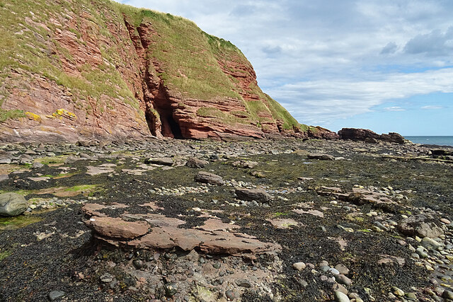
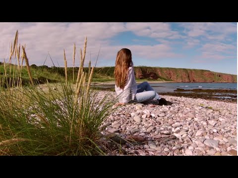
Carlingheugh Bay is a picturesque coastal area located in Angus, Scotland. Situated on the eastern coast, this bay offers a stunning natural landscape and a tranquil atmosphere for visitors to enjoy. The bay is nestled between two rocky headlands, providing a sheltered and secluded feel.
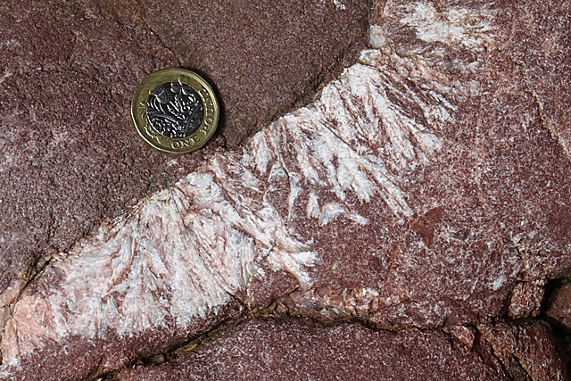
The beach at Carlingheugh Bay is a mixture of sand and pebbles, offering a unique texture underfoot. The sand stretches along the shoreline, providing ample space for sunbathing, picnics, and beach games. The bay is also known for its clear blue waters, making it a popular spot for swimming and snorkeling during the warmer months.
Nature enthusiasts will appreciate the diverse flora and fauna found in and around Carlingheugh Bay. The surrounding cliffs and grassy slopes are home to a variety of seabirds, including guillemots, puffins, and kittiwakes. Visitors may also spot seals and dolphins swimming in the bay, adding to the area's natural beauty.
Carlingheugh Bay is a hidden gem for those seeking peace and tranquility. It offers a peaceful retreat away from the hustle and bustle of city life, allowing visitors to relax and unwind in a serene environment. Whether it's exploring the beach, admiring the stunning views, or simply enjoying a leisurely stroll along the shore, Carlingheugh Bay is a must-visit destination for nature lovers and beach enthusiasts alike.
If you have any feedback on the listing, please let us know in the comments section below.
Carlingheugh Bay Images
Images are sourced within 2km of 56.574275/-2.5321292 or Grid Reference NO6742. Thanks to Geograph Open Source API. All images are credited.


Carlingheugh Bay is located at Grid Ref: NO6742 (Lat: 56.574275, Lng: -2.5321292)
Unitary Authority: Angus
Police Authority: Tayside
What 3 Words
///paramedic.contents.outbound. Near Arbroath, Angus
Nearby Locations
Related Wikis

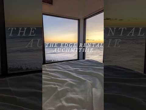
Auchmithie
Auchmithie is a small fishing village in Angus, Scotland, three miles north east of the town of Arbroath. It sits atop a cliff of red sandstone conglomerate...
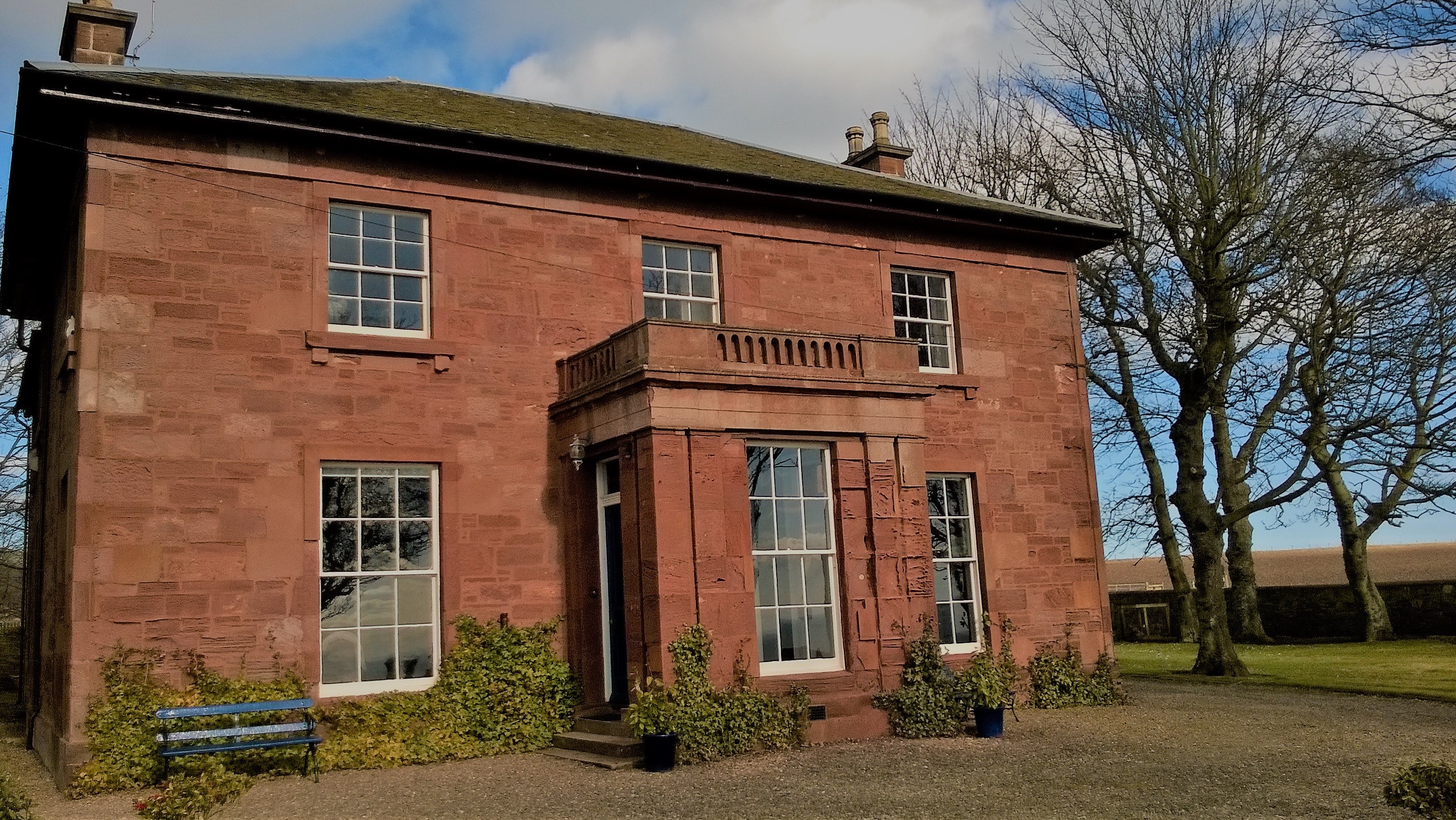
West Seaton House
West Seaton House is a listed building of late Regency design, situated approximately one mile (1.6 km) to the east of Arbroath in the parish of St. Vigeans...

Marywell
Marywell is a village in Angus, Scotland, that is north of Arbroath, in the parish of St Vigeans. == References == == Sources == Marywell in the Gazetteer...

Church of St Mary the Virgin, Arbroath
The Church of St Mary the Virgin is a Scottish Episcopal Church, in Arbroath, Angus, Scotland. It is part of the Diocese of Brechin. == Church building... ==
Related Videos
A day out in Arbroath | Seaton Cliffs Walk
A day out in Arbroath. Walking along the seaside and enjoying the warmth of the last days of summer. Enjoy the video. :)

Explore Auchmithie - a beautiful Scottish coastal village
Today Gilbert and our Border terrier Robbie take a walk around the beautiful old Scottish coastal village of Auchmithie on the east ...
Nearby Amenities
Located within 500m of 56.574275,-2.5321292Have you been to Carlingheugh Bay?
Leave your review of Carlingheugh Bay below (or comments, questions and feedback).