Pool Bay
Bay in Orkney
Scotland
Pool Bay
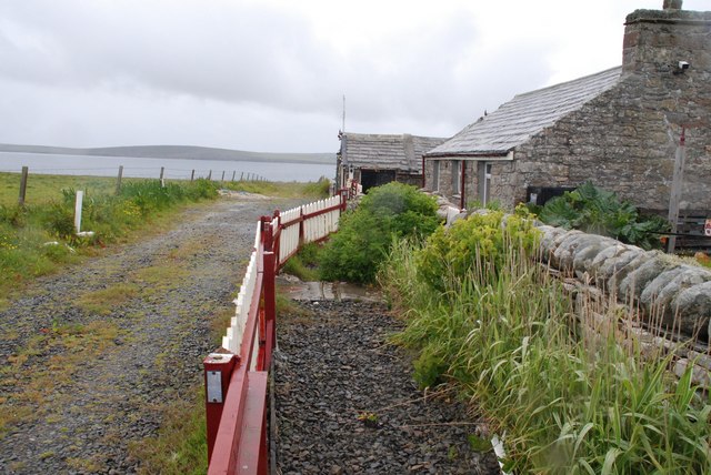
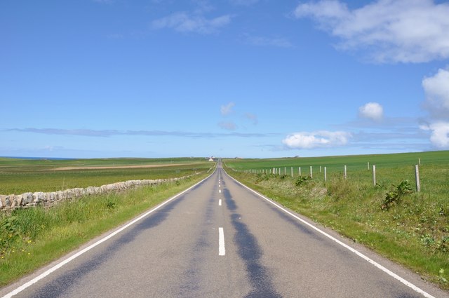
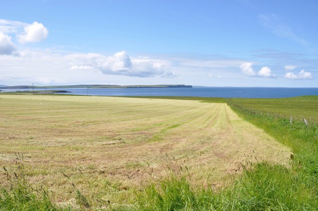
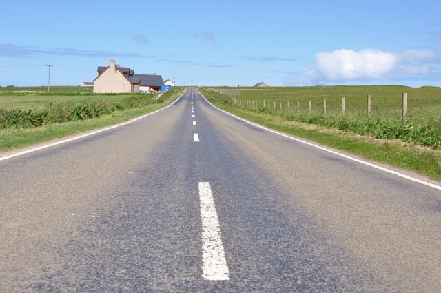
Pool Bay is a picturesque bay located on the northeast coast of the Orkney Islands in Scotland. Situated approximately 6 miles northeast of Kirkwall, the bay is known for its scenic beauty and rich history. It is surrounded by rolling green hills and offers stunning views of the North Sea.
The bay is named after the natural tidal pool that forms during low tide, known as The Pool. This natural feature has made Pool Bay a popular spot for swimming and snorkeling during the summer months. The crystal-clear waters and sandy beach make it an ideal location for water activities.
With its long sandy shoreline, the bay also attracts nature enthusiasts and birdwatchers. The area is home to a variety of bird species, including Arctic terns, puffins, and guillemots. Visitors can observe these birds in their natural habitat and capture breathtaking photographs.
Alongside its natural beauty, Pool Bay holds historical significance due to its proximity to the ancient settlement of Skara Brae. This Neolithic village, dating back over 5,000 years, is a UNESCO World Heritage site and provides a fascinating glimpse into prehistoric life. Its close proximity to Pool Bay makes it an ideal destination for history buffs and archaeology enthusiasts.
In conclusion, Pool Bay in Orkney is a stunning bay that offers a unique blend of natural beauty, recreational activities, and historical landmarks. Whether one is seeking a peaceful beach experience, birdwatching opportunities, or a journey into the past, Pool Bay has something to offer for every visitor.
If you have any feedback on the listing, please let us know in the comments section below.
Pool Bay Images
Images are sourced within 2km of 59.227363/-2.6771165 or Grid Reference HY6138. Thanks to Geograph Open Source API. All images are credited.


Pool Bay is located at Grid Ref: HY6138 (Lat: 59.227363, Lng: -2.6771165)
Unitary Authority: Orkney Islands
Police Authority: Highlands and Islands
What 3 Words
///fattening.euphoric.riverside. Near Kettletoft, Orkney Islands
Nearby Locations
Related Wikis

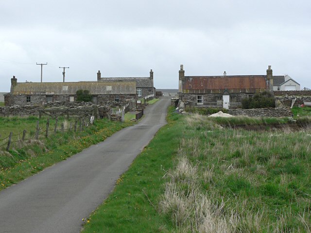
Braeswick
Braeswick is a settlement on the island of Sanday, in Orkney, Scotland. The settlement is within the parish of Cross and Burness, and is situated on the...
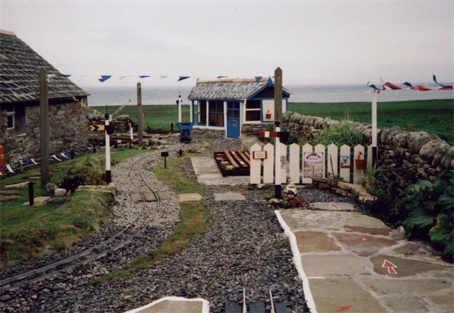
Sanday Light Railway
The Sanday Light Railway was a privately owned ridable miniature railway situated in Braeswick, on the island of Sanday, Orkney, Scotland. The railway...

Calf of Eday
The Calf of Eday (Scots: Cauf o Aidee; Old Norse: Kalfr) is an uninhabited island in Orkney, Scotland, lying north east of Eday. It is known for its wildlife...

Kettletoft
Kettletoft is a settlement on the island of Sanday in Orkney, Scotland. The B9068 road runs from Kettletoft to Scar and the B9069 from Kettletoft to Northwall...
Nearby Amenities
Located within 500m of 59.227363,-2.6771165Have you been to Pool Bay?
Leave your review of Pool Bay below (or comments, questions and feedback).