Bay of Backaland

Bay in Orkney

Scotland

Bay of Backaland

Eday - approaching the pier The ferry from Mainland, Orkney to Sanday calls in on the island of Eday on the way. The ferry terminal here is situated on the Bay of Backaland at the southern end of the island.
See also <a href="https://www.geograph.org.uk/photo/7560838">HY5730 : Eday - Vehicle ferry terminal pier</a>
Eday - approaching the pier Credit: Rob Farrow

The requested URL returned error: 429 Too Many Requests

If you have any feedback on the listing, please let us know in the comments section below.

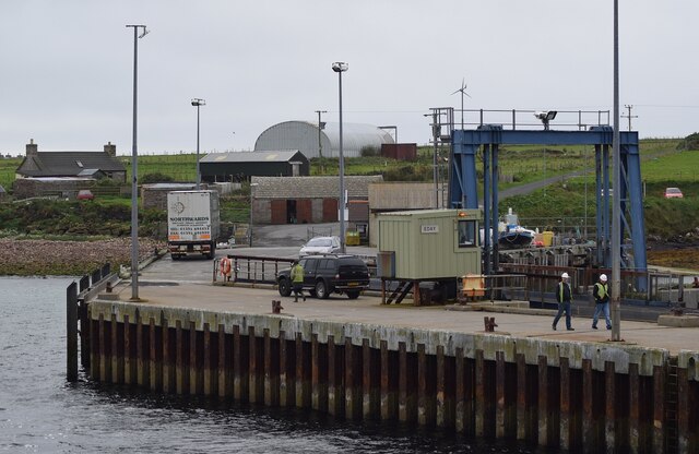
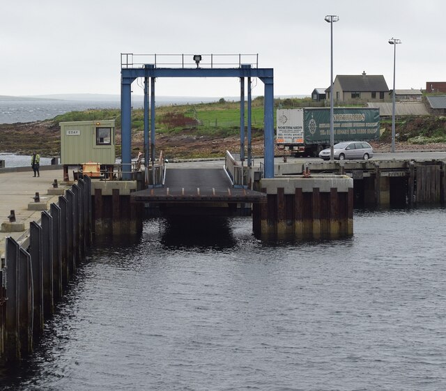
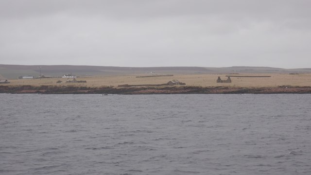
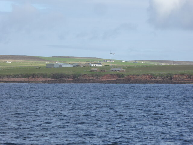
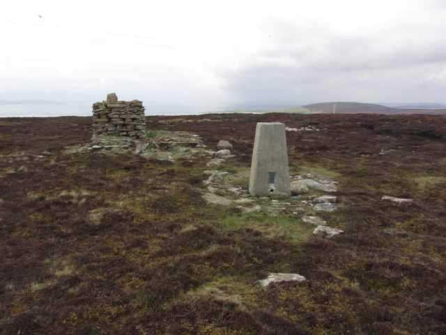
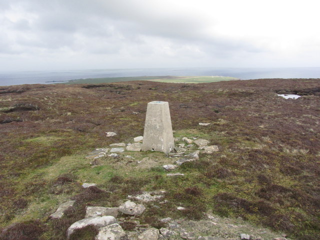
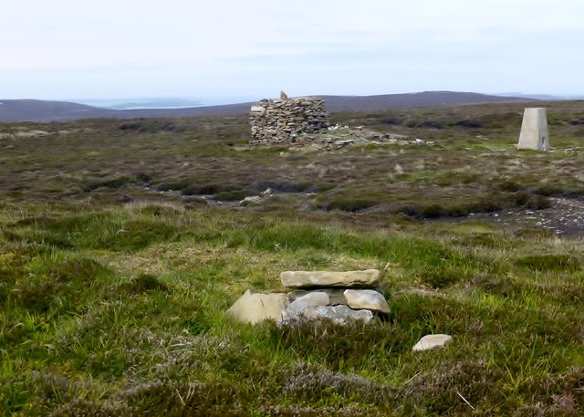
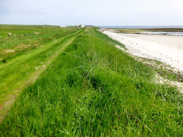
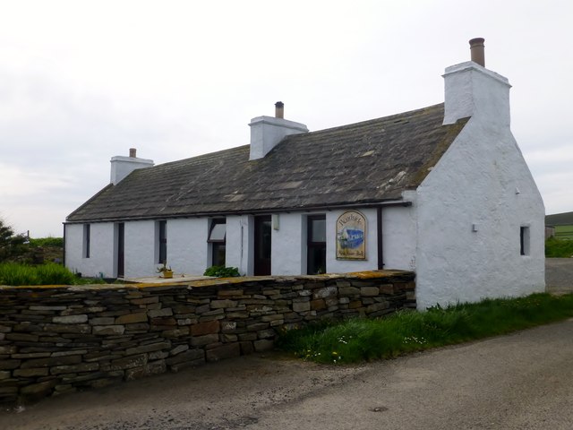
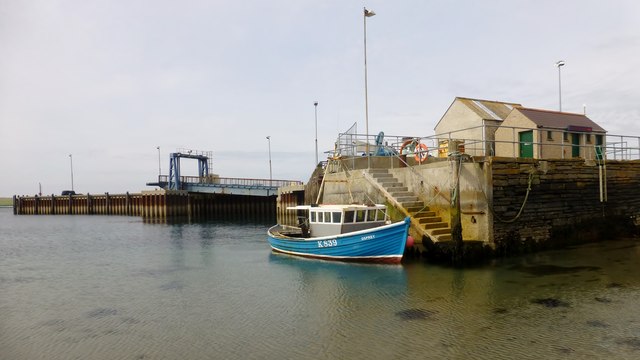
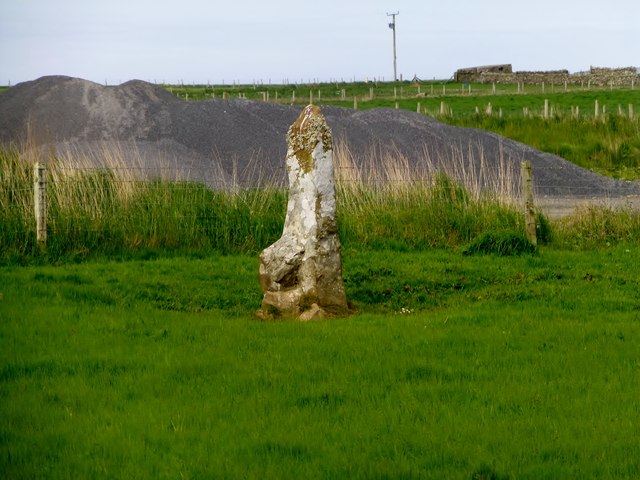
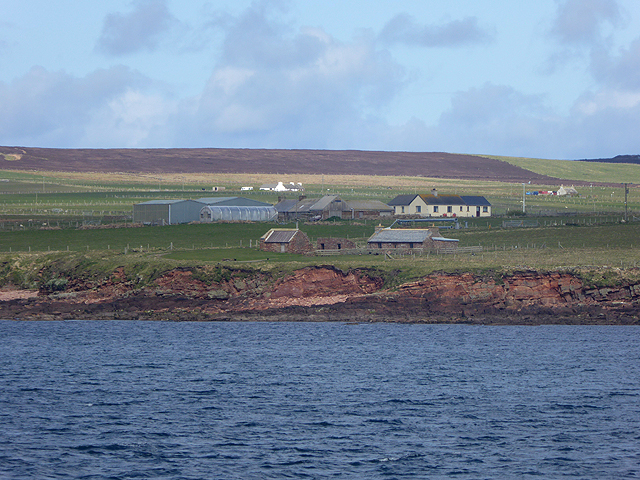
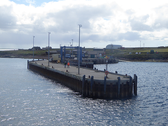
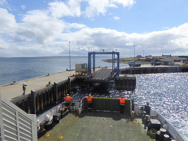
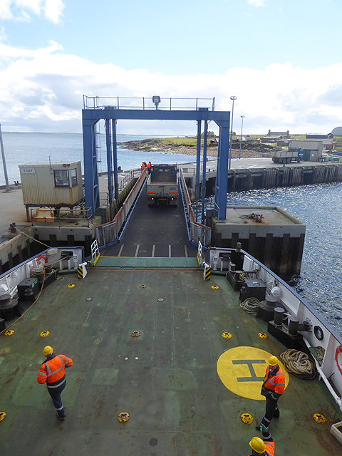
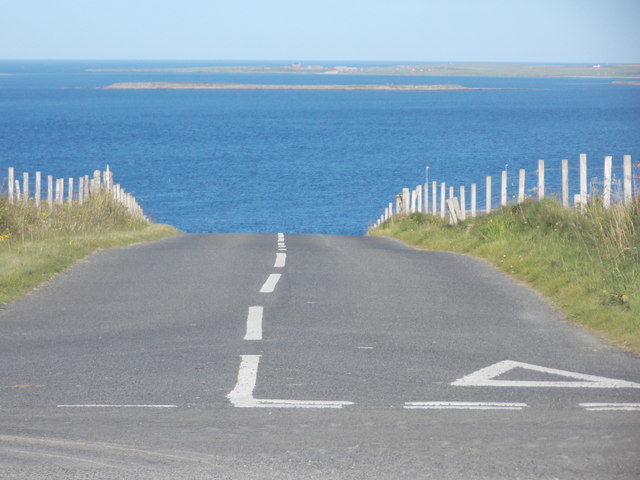
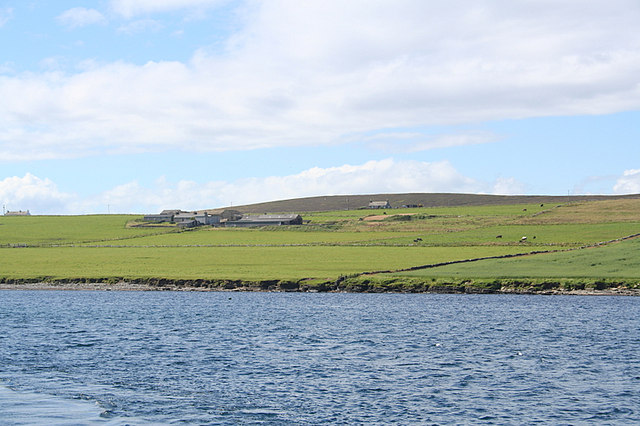
Bay of Backaland Images

Images are sourced within 2km of 59.158815/-2.7507605 or Grid Reference HY5730. Thanks to Geograph Open Source API. All images are credited.

Eday - approaching the pier The ferry from Mainland, Orkney to Sanday calls in on the island of Eday on the way. The ferry terminal here is situated on the Bay of Backaland at the southern end of the island.
See also <a href="https://www.geograph.org.uk/photo/7560838">HY5730 : Eday - Vehicle ferry terminal pier</a>
Eday - approaching the pier
The ferry from Mainland, Orkney to Sanday calls in on the island of Eday on the way. The ferry terminal here is situated on the Bay of Backaland at the southern end of the island. See also HY5730 : Eday - Vehicle ferry terminal pier
Eday - Vehicle ferry terminal pier Looking at the loading ramp of the vehicle ferry terminal pier on Eday. See also <a href="https://www.geograph.org.uk/photo/7560837">HY5730 : Eday - approaching the pier</a>
Eday - Vehicle ferry terminal pier
Looking at the loading ramp of the vehicle ferry terminal pier on Eday. See also HY5730 : Eday - approaching the pier
Green, Eday Southern shore of Eday, seen from the Sanday ferry.
Green, Eday
Southern shore of Eday, seen from the Sanday ferry.
Buildings at Stackie Geos, Eday
Eday; Trig point on Ward Hill. View towards Stennie Hill
Eday; Trig point on Ward Hill. view towards Veness
Ward Hill, Eday, Orkney Parked near the pub then walked up track and moorland to summit with Jim Bloomer, Richard Tibbetts and Tricky Speirs on a sunny afternoon before a trip to the beach.
Name: Ward Hill (Eday)
Hill number: 4931
Height: 102m / 335ft
Parent (Ma/M): none
Area: 23: Orkney Islands
Class: Hu,1
Grid ref: HY552299 (est)
Drop: 102m
Col: Sea
Ward Hill, Eday, Orkney
Parked near the pub then walked up track and moorland to summit with Jim Bloomer, Richard Tibbetts and Tricky Speirs on a sunny afternoon before a trip to the beach. Name: Ward Hill (Eday) Hill number: 4931 Height: 102m / 335ft Parent (Ma/M): none Area: 23: Orkney Islands Class: Hu,1 Grid ref: HY552299 (est) Drop: 102m Col: Sea
Coastal View Near Southside, Eday
Roadside Public House, Eday
The Pier, Eday
The Pier, Eday
Standing stone near former quarry
Farm buildings at Green On the south-east corner of the Isle of Eday.
Farm buildings at Green
On the south-east corner of the Isle of Eday.
Approaching Eday Pier
Approaching Eday Pier On the inter-island ferry.
Approaching Eday Pier
On the inter-island ferry.
Offloading at Eday Pier From the inter-island ferry.
Offloading at Eday Pier
From the inter-island ferry.
Eday: the B9063 disappears into the sea It doesn't, of course, but it appears to from here. It actually gently descends and follows the coast to the ferry pier.

Little Linga is the small island ahead of us, with the northern end of Stronsay beyond.
Eday: the B9063 disappears into the sea
It doesn't, of course, but it appears to from here. It actually gently descends and follows the coast to the ferry pier. Little Linga is the small island ahead of us, with the northern end of Stronsay beyond.
Eday: the B9063 heads for the pier The pier and ferry terminal are the destination of the B9063, seen here descending to the coastline before hugging it for a quarter of a mile or so. Stronsay is in the background.
Eday: the B9063 heads for the pier
The pier and ferry terminal are the destination of the B9063, seen here descending to the coastline before hugging it for a quarter of a mile or so. Stronsay is in the background.
Eday: postbox № KW17 114 and phone This postbox is of a modern design, constructed of pressed steel and designed to be more robust, rustproof and theft-proof than the traditional cast iron box that it will have replaced in the last couple of years.

The box stands close to the ferry pier and, as an antidote to the modernness of the postbox, a traditional red telephone box is adjacent.
Eday: postbox № KW17 114 and phone
This postbox is of a modern design, constructed of pressed steel and designed to be more robust, rustproof and theft-proof than the traditional cast iron box that it will have replaced in the last couple of years. The box stands close to the ferry pier and, as an antidote to the modernness of the postbox, a traditional red telephone box is adjacent.
Show me another place!

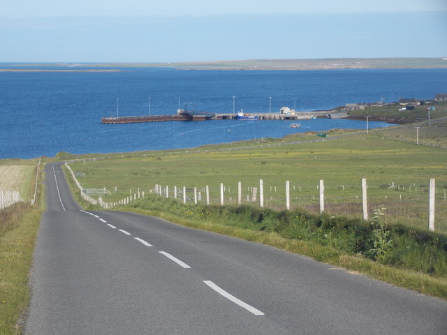
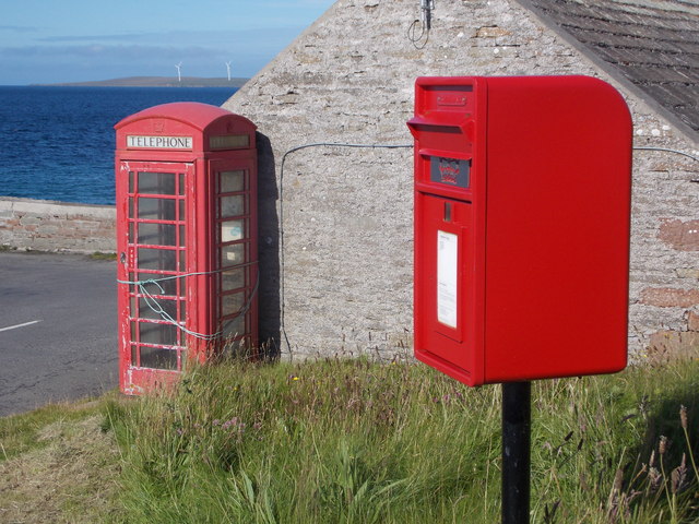
Bay of Backaland is located at Grid Ref: HY5730 (Lat: 59.158815, Lng: -2.7507605)

Unitary Authority: Orkney Islands

Police Authority: Highlands and Islands

What 3 Words

///goggle.scarred.lawyer. Near Backaland, Orkney Islands

Nearby Locations

Bay of Backaland

Related Wikis

Backaland

Backaland is a settlement on the island of Eday in Orkney, Scotland. The settlement is also within the parish of Eday, and it is located to the south west...

Eday

Eday (, Scots: Aidee) is one of the islands of Orkney, which are located to the north of the Scottish mainland. One of the North Isles, Eday is about 24...

Eday Airport

Eday London Airport (IATA: EOI, ICAO: EGED) is located on Eday in Orkney, Scotland. As it is close to the Bay of London it is known locally as just London...

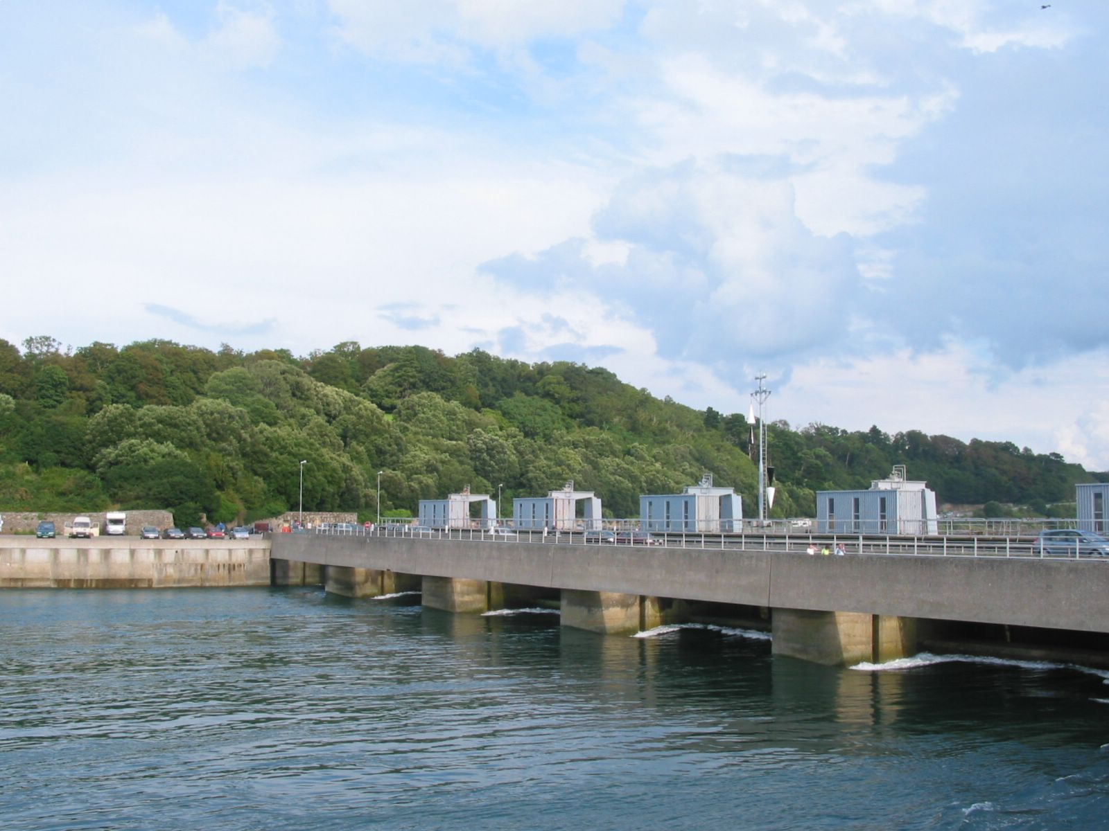
List of tidal power stations

This article lists most power stations that run on tidal power; both tidal range (impoundment via a barrage) and tidal stream (harnessing currents). Since...

Nearby Amenities

Located within 500m of 59.158815,-2.7507605
Ferry Terminal
Eday Ferry Terminal
Ferry: yes
Public Transport: station
Lat/Long: 59.1562003/-2.7480042
Seamark Information: Visible 192° - 250°
Seamark Light Character: Fl
Seamark Light Colour: red
Seamark Light Height: 5
Seamark Light Period: 3
Seamark Light Reference: A 3729
Seamark Light Sequence: 0.5+(2.5)
Seamark Light Visibility: part_obscured
Seamark Type: light_minor
Source: US NGA Pub. 114. 2011-05-26.
Lat/Long: 59.1565663/-2.7485613
Backaland Bay
Natural: bay
Lat/Long: 59.1623064/-2.7500805
Toilets
Lat/Long: 59.1555675/-2.747484
Power: pole
Lat/Long: 59.1555533/-2.7558893
Power: pole
Lat/Long: 59.1555777/-2.754456
Power: pole
Lat/Long: 59.1556101/-2.7528222
Power: pole
Lat/Long: 59.1552556/-2.7517057
Power: pole
Lat/Long: 59.1548063/-2.7502461
Power: pole
Lat/Long: 59.1550357/-2.7472253
The data included in this document is from www.openstreetmap.org. The data is made available under ODbL.

Have you been to Bay of Backaland?

Leave your review of Bay of Backaland below (or comments, questions and feedback).