Bay of London
Bay in Orkney
Scotland
Bay of London
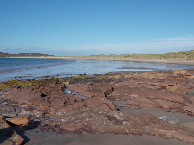
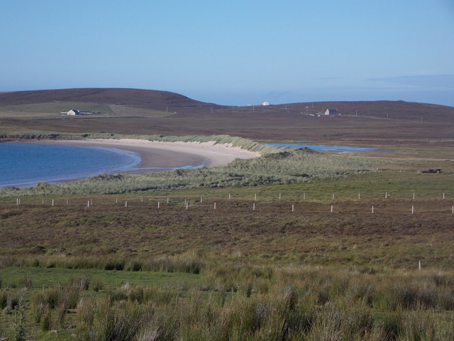
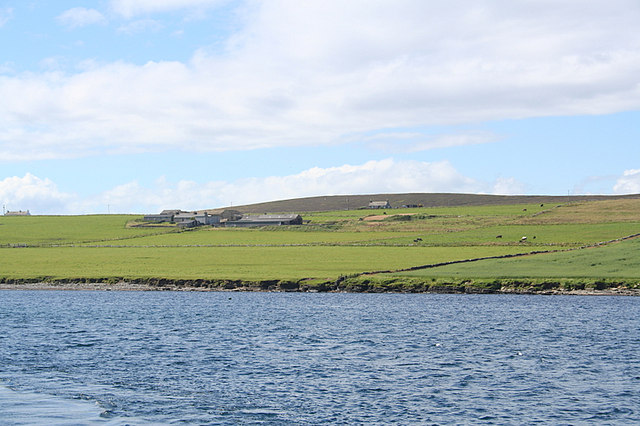
The Bay of London, Orkney, commonly referred to as Bay, is a picturesque coastal village located on the eastern coast of Orkney Mainland, Scotland. Situated about 15 miles north of Kirkwall, the island's largest town, Bay is nestled along the shores of the easternmost part of Scapa Flow, a natural harbor renowned for its historical significance.
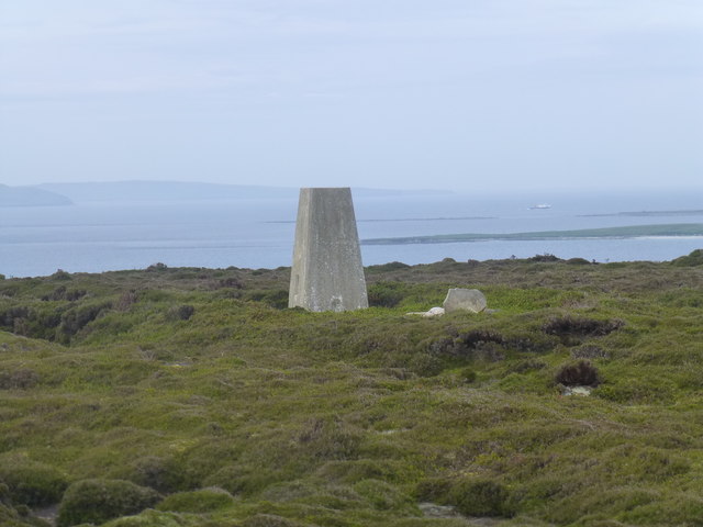
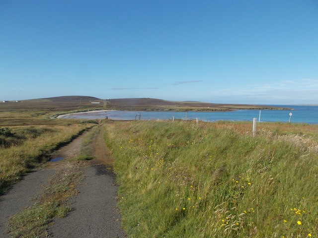
With its stunning natural beauty and rich history, Bay attracts visitors from all over the world. The bay offers breathtaking views of the North Sea, with its crystal-clear turquoise waters and sandy beaches. The area is also known for its diverse wildlife, including seals, otters, and various seabirds. Visitors can enjoy long walks along the coastline, taking in the tranquility and immersing themselves in the peaceful surroundings.
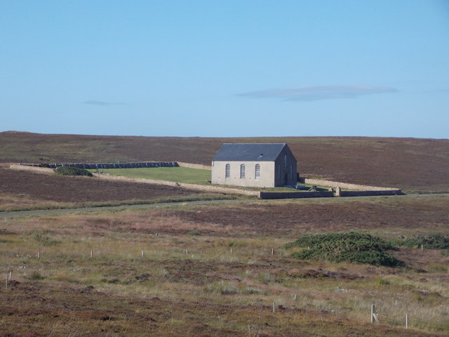
Bay is steeped in history, with numerous archaeological sites and landmarks scattered throughout the village. The nearby Broch of Gurness, a well-preserved Iron Age settlement, provides a fascinating glimpse into ancient Orkney life. Additionally, the area is home to the remains of several wartime structures, serving as a reminder of Orkney's strategic importance during both World Wars.
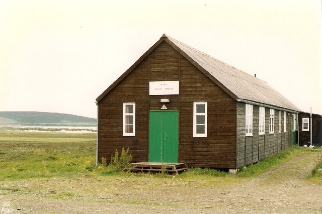
The village itself is small but charming, with a handful of residential houses and a local pub that serves as a gathering spot for residents and visitors alike. Although Bay lacks major amenities and commercial establishments, its serene atmosphere and natural beauty make it an idyllic retreat for those seeking a peaceful getaway.
In summary, the Bay of London, Orkney, is a captivating coastal village renowned for its breathtaking scenery, rich history, and tranquility. Whether exploring its archaeological sites or simply enjoying the beauty of the bay, visitors are sure to be enchanted by this hidden gem on Orkney Mainland.
If you have any feedback on the listing, please let us know in the comments section below.
Bay of London Images
Images are sourced within 2km of 59.191599/-2.7577109 or Grid Reference HY5634. Thanks to Geograph Open Source API. All images are credited.
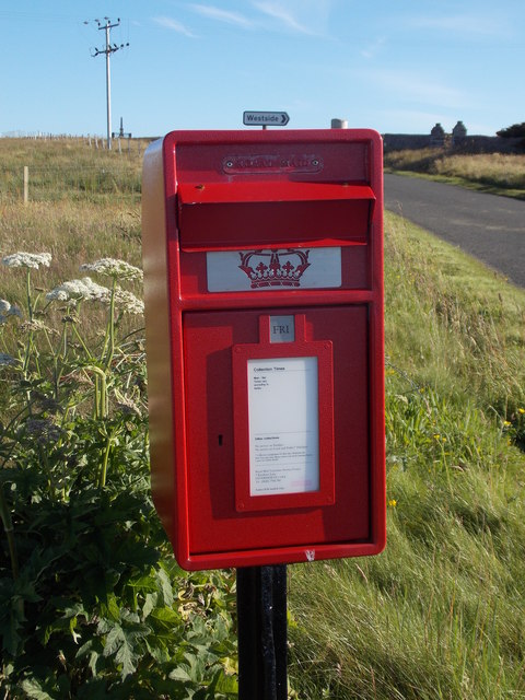
![Eday: the old Faray postbox This stone-built structure looks rather like it once contained a postbox, and indeed it did: and a postbox which had a specific function.
A lady has contacted me with the following information: The pillar contained a postbox until 1947, and it was used for post for the island of Faray, off the west of Eday. A Faray islander would come across each week and collect their mail from here. [Faray has been uninhabited since 1947, so this story fits perfectly.]](https://s0.geograph.org.uk/geophotos/04/70/76/4707660_3d111803.jpg)


Bay of London is located at Grid Ref: HY5634 (Lat: 59.191599, Lng: -2.7577109)
Unitary Authority: Orkney Islands
Police Authority: Highlands and Islands
What 3 Words
///comb.dwarf.idea. Near Backaland, Orkney Islands
Nearby Locations
Related Wikis

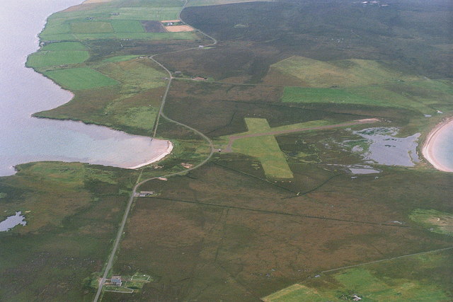
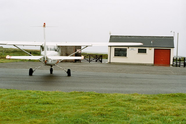
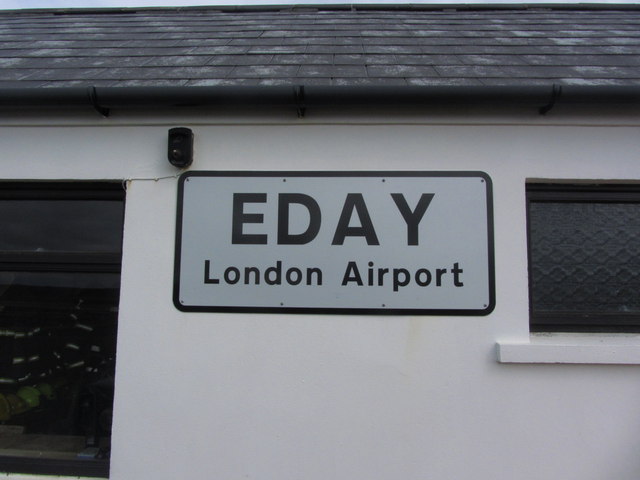
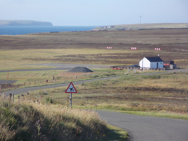
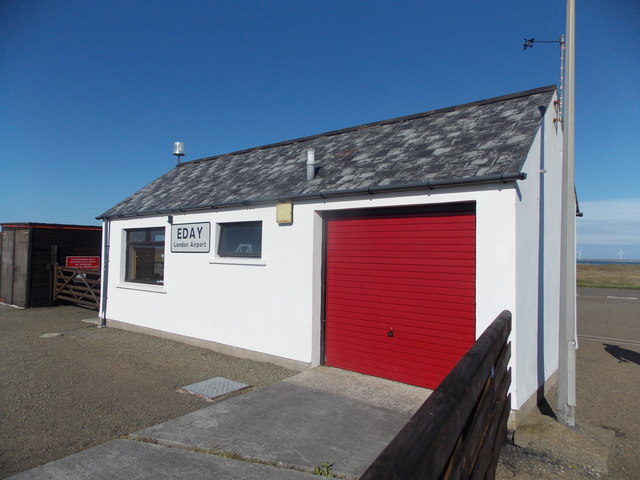
Eday Airport
Eday London Airport (IATA: EOI, ICAO: EGED) is located on Eday in Orkney, Scotland. As it is close to the Bay of London it is known locally as just London...

Eday
Eday (, Scots: Aidee) is one of the islands of Orkney, which are located to the north of the Scottish mainland. One of the North Isles, Eday is about 24...
Backaland
Backaland is a settlement on the island of Eday in Orkney, Scotland. The settlement is also within the parish of Eday, and it is located to the south west...

Vinquoy chambered cairn
Vinquoy chambered cairn (grid reference HY56013809) is a Neolithic chambered cairn located on the island of Eday, in Orkney, Scotland. The tomb probably...
Nearby Amenities
Located within 500m of 59.191599,-2.7577109Have you been to Bay of London?
Leave your review of Bay of London below (or comments, questions and feedback).