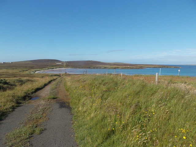
Bay of Icevay
Bay in Orkney
Scotland
Bay of Icevay
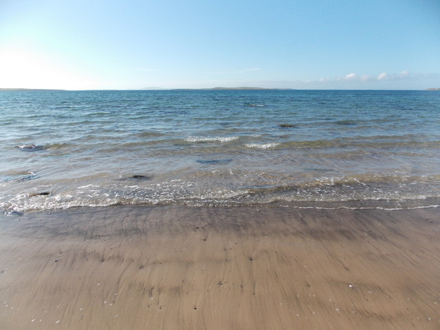
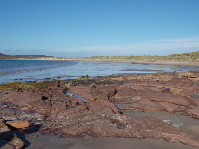
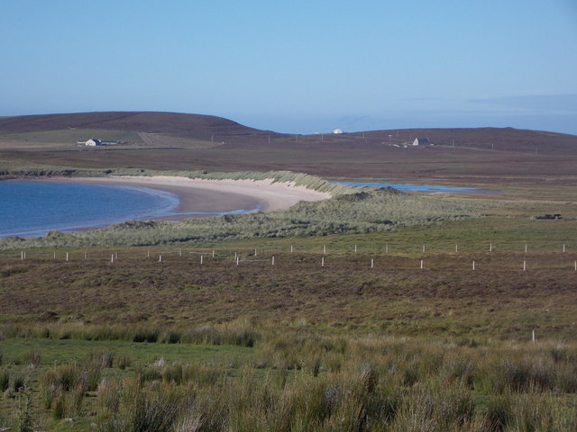
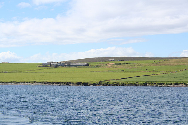
The Bay of Icevay is a picturesque inlet located on the western coast of the Orkney Islands in Scotland. With its stunning natural beauty and rich historical significance, this bay has become a popular destination for locals and tourists alike.
Surrounded by rugged cliffs and rolling hills, the Bay of Icevay offers breathtaking views of the North Atlantic Ocean. The bay's calm, crystal-clear waters provide a serene setting for various recreational activities such as swimming, kayaking, and fishing. Its pristine sandy beaches are perfect for sunbathing and picnicking, attracting visitors during the summer months.
The bay is also known for its diverse wildlife. Seals, dolphins, and a wide variety of seabirds can often be spotted in the area, making it a haven for nature enthusiasts and birdwatchers. Additionally, the bay is home to a thriving underwater ecosystem, making it a popular spot for scuba diving and snorkeling.
From a historical perspective, the Bay of Icevay has great significance. It is believed to have been a landing site for Viking ships during their expeditions in the 9th and 10th centuries. Numerous archaeological sites and artifacts have been discovered in the surrounding area, providing valuable insights into the Viking presence in Orkney.
Overall, the Bay of Icevay offers a unique blend of natural beauty, recreational opportunities, and historical significance. Whether you are seeking tranquility, adventure, or a glimpse into the past, this bay is a must-visit destination in the Orkney Islands.
If you have any feedback on the listing, please let us know in the comments section below.
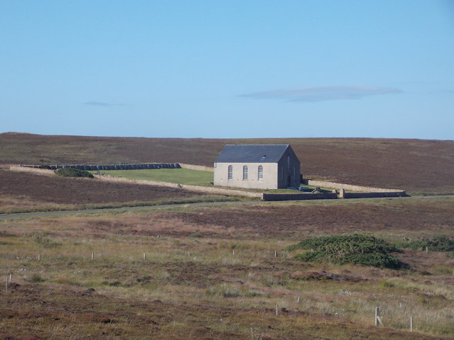
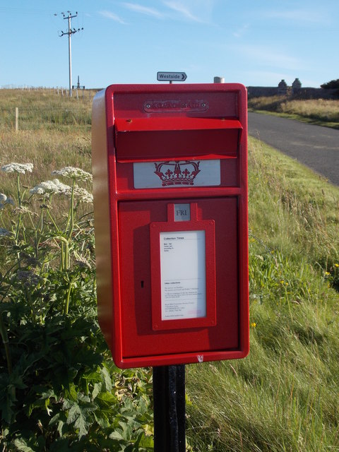
Bay of Icevay Images
Images are sourced within 2km of 59.186951/-2.7584831 or Grid Reference HY5633. Thanks to Geograph Open Source API. All images are credited.


Bay of Icevay is located at Grid Ref: HY5633 (Lat: 59.186951, Lng: -2.7584831)
Unitary Authority: Orkney Islands
Police Authority: Highlands and Islands
What 3 Words
///limiting.splashes.jungle. Near Backaland, Orkney Islands
Nearby Locations
Related Wikis

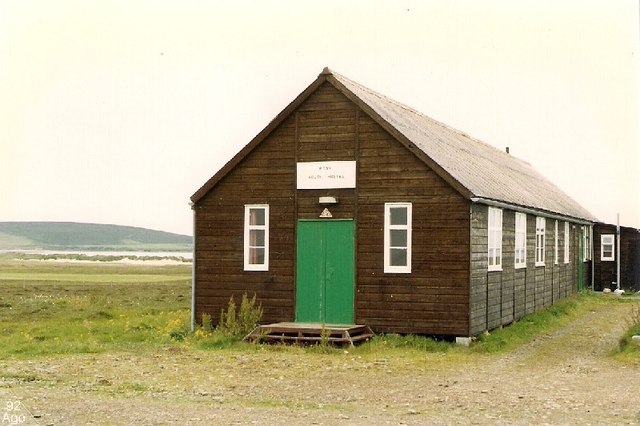
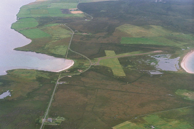
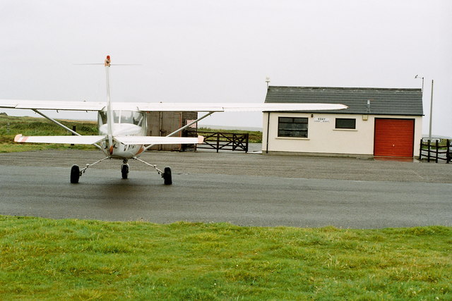
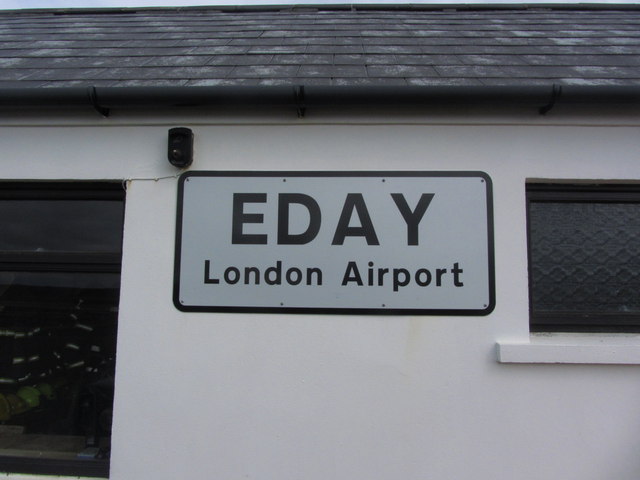
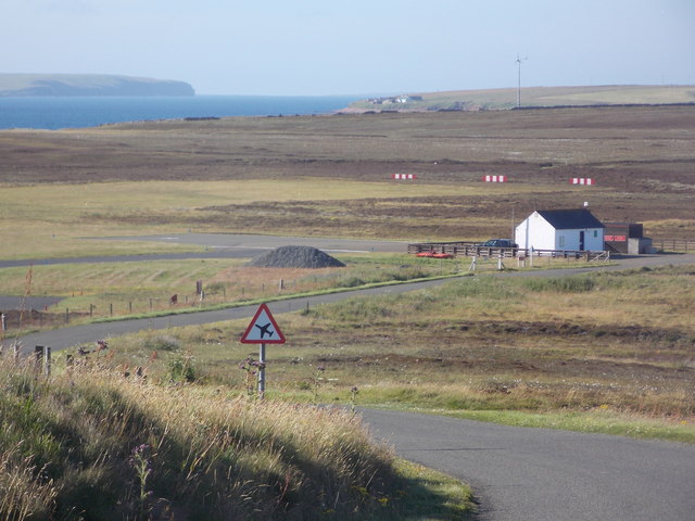
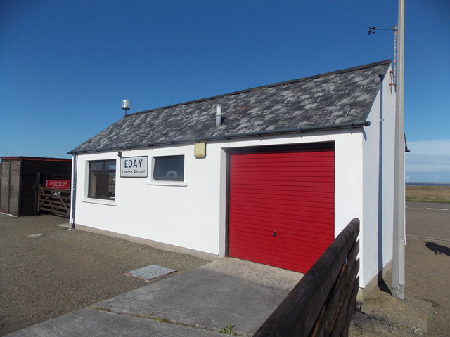
Eday Airport
Eday London Airport (IATA: EOI, ICAO: EGED) is located on Eday in Orkney, Scotland. As it is close to the Bay of London it is known locally as just London...

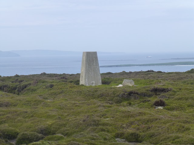
Eday
Eday (, Scots: Aidee) is one of the islands of Orkney, which are located to the north of the Scottish mainland. One of the North Isles, Eday is about 24...
Backaland
Backaland is a settlement on the island of Eday in Orkney, Scotland. The settlement is also within the parish of Eday, and it is located to the south west...

Vinquoy chambered cairn
Vinquoy chambered cairn (grid reference HY56013809) is a Neolithic chambered cairn located on the island of Eday, in Orkney, Scotland. The tomb probably...
Nearby Amenities
Located within 500m of 59.186951,-2.7584831Have you been to Bay of Icevay?
Leave your review of Bay of Icevay below (or comments, questions and feedback).