Bay of Latherbare

Bay in Orkney

Scotland

Bay of Latherbare

Rerwick Head The nearest building, left of centre, is one of the military defences remaining from the Second World War.
Rerwick Head Credit: Mike Pennington

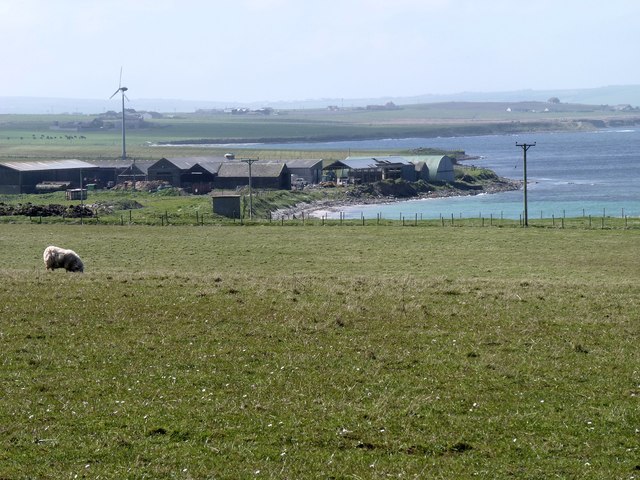
The Bay of Latherbare, located in Orkney, Scotland, is a picturesque coastal area renowned for its natural beauty and historical significance. With its stunning views and rich heritage, it has become a popular destination for tourists and locals alike.

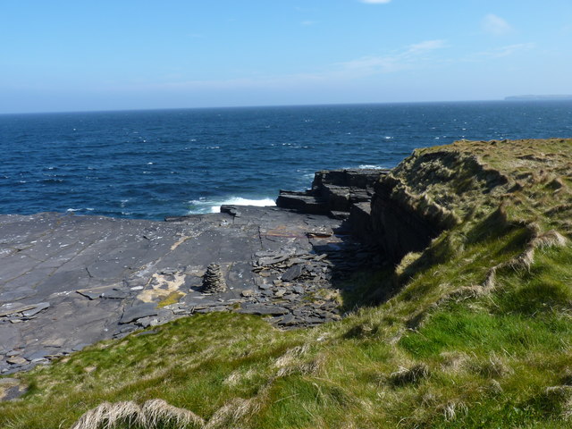
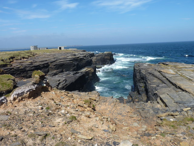
Situated on the island of Orkney, the Bay of Latherbare offers breathtaking vistas of the North Sea and the surrounding rugged coastline. The bay is characterized by its sandy beaches, rocky cliffs, and clear blue waters, making it an ideal spot for beachcombing, picnicking, and enjoying various water activities such as swimming and kayaking.

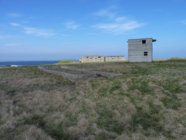
The bay is also known for its historical treasures. It has been an important site since ancient times, with evidence of human occupation dating back thousands of years. Archaeological excavations have unearthed artifacts and structures from various eras, including Neolithic, Viking, and medieval times. The nearby Skara Brae, a well-preserved Neolithic village, is a UNESCO World Heritage Site and offers a glimpse into the lives of our ancient ancestors.

In addition to its natural wonders and historical significance, the Bay of Latherbare is home to diverse wildlife. The surrounding waters are often frequented by seals, dolphins, and a variety of seabirds, offering nature enthusiasts ample opportunities for birdwatching and marine life spotting.

Access to the Bay of Latherbare is relatively easy, with a nearby parking area and a well-maintained walking trail that leads visitors to the bay. Local amenities such as cafes, shops, and accommodations can be found in the nearby village, ensuring a comfortable and enjoyable visit to this remarkable coastal gem.

If you have any feedback on the listing, please let us know in the comments section below.

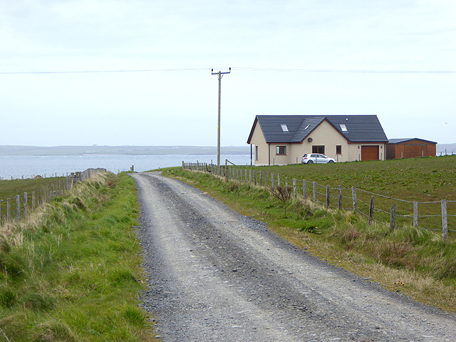
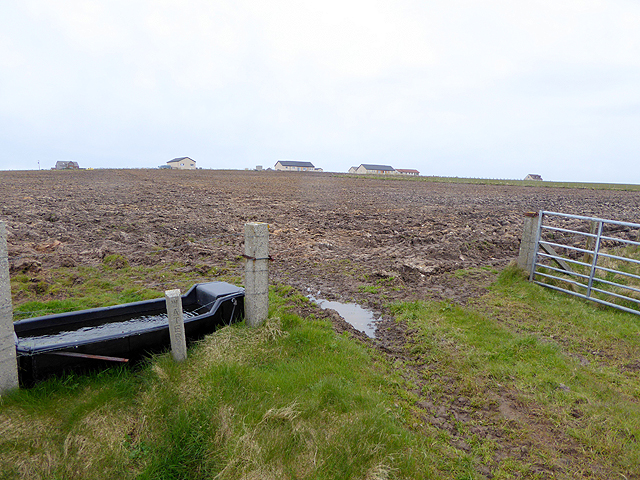
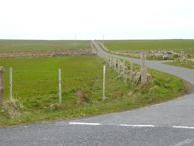
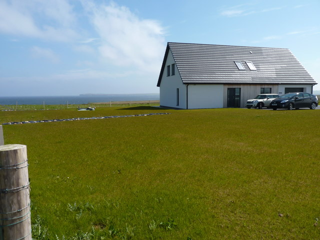
Bay of Latherbare Images

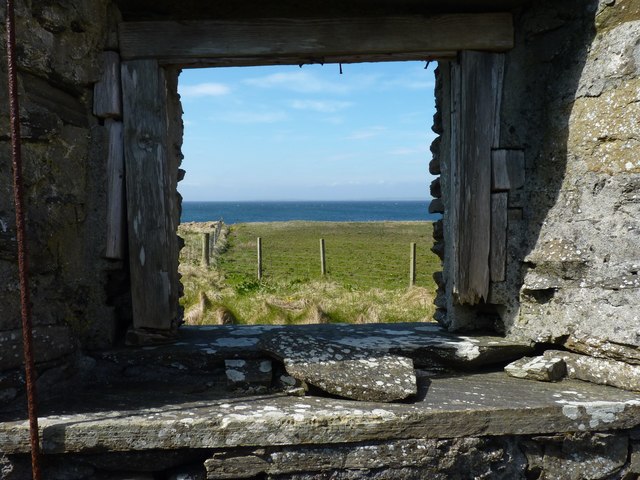
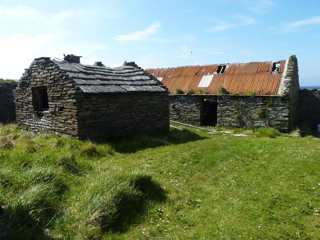
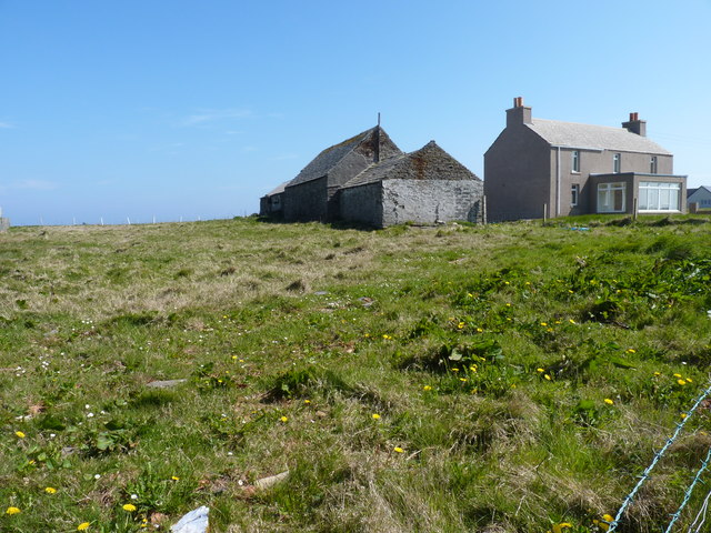
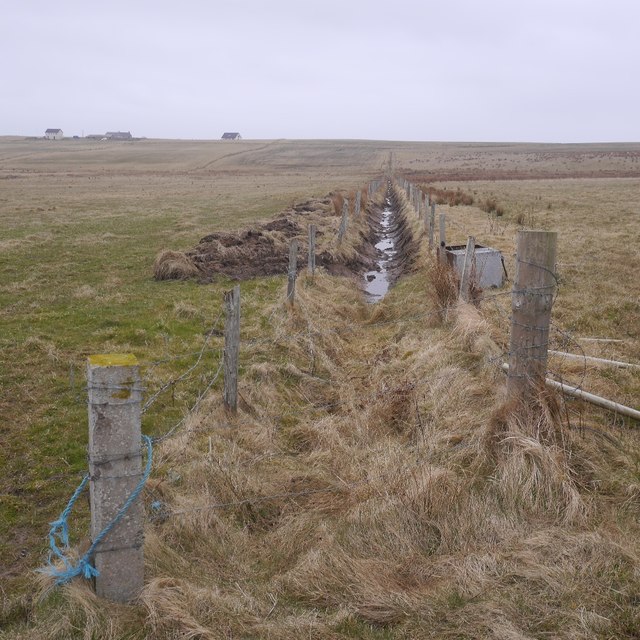
Images are sourced within 2km of 58.982908/-2.7950324 or Grid Reference HY5410. Thanks to Geograph Open Source API. All images are credited.

Rerwick Head The nearest building, left of centre, is one of the military defences remaining from the Second World War.
Rerwick Head
The nearest building, left of centre, is one of the military defences remaining from the Second World War.
Heatherhouse New bungalow on the Tankerness peninsula. The waters of Deer Sound can be seen beyond.
Heatherhouse
New bungalow on the Tankerness peninsula. The waters of Deer Sound can be seen beyond.
Ploughed field on Skibbowick Hill The houses on the skyline are off the Tankerness Hall Road <a href="https://www.geograph.org.uk/gridref/HY5309">HY5309</a>. The bungalow with the red roof can be seen in closeup in <a href="https://www.geograph.org.uk/photo/4524566">HY5309 : Modern bungalow on Fea Hill</a>.
Ploughed field on Skibbowick Hill
The houses on the skyline are off the Tankerness Hall Road HY5309. The bungalow with the red roof can be seen in closeup in HY5309 : Modern bungalow on Fea Hill.
Tankerness Hall Road The eastern end of the road is a cul de sac leading to Holland and Boondatoon only.
Tankerness Hall Road
The eastern end of the road is a cul de sac leading to Holland and Boondatoon only.
Holland One of the many places in the Northern Isles named Holland or Houlland.
Holland
One of the many places in the Northern Isles named Holland or Houlland.
Rerwick Head Taken from the Aberdeen-Orkney-Shetland ferry.
Rerwick Head
Taken from the Aberdeen-Orkney-Shetland ferry.
Disused enclosure The walls that remain are of substantial looking dry stone construction.
Disused enclosure
The walls that remain are of substantial looking dry stone construction.
Modern house On the road towards Rerwick Head. The island on the horizon is Stronsay.
Modern house
On the road towards Rerwick Head. The island on the horizon is Stronsay.
Farm buildings at Heatherhouse Seen from the road to Rerwick Head.
Farm buildings at Heatherhouse
Seen from the road to Rerwick Head.
Rock platform Someone has taken the trouble to build a small cairn of broken laminar rock fragments.
Rock platform
Someone has taken the trouble to build a small cairn of broken laminar rock fragments.
Coastal rocks Looking towards Rerwick head and the remains of WW1 and WW2 defences.
Coastal rocks
Looking towards Rerwick head and the remains of WW1 and WW2 defences.
Coastal defences WW2 Observation tower and remains of other WW2 defence buildings at Rerwick Head.
Coastal defences WW2
Observation tower and remains of other WW2 defence buildings at Rerwick Head.
Rocks at Rerwick point At this state of tide the actual square containing Rerwick Point is inaccessible on foot.
Rocks at Rerwick point
At this state of tide the actual square containing Rerwick Point is inaccessible on foot.
Abandoned dry stone building Close to Rerwick Point.
Abandoned dry stone building
Close to Rerwick Point.
Room with a view The room may have vanished but the view (of Shapinsay Sound) is still there.
Room with a view
The room may have vanished but the view (of Shapinsay Sound) is still there.
Abandoned croft Buildings at Rerwick.
Abandoned croft
Buildings at Rerwick.
Grunkeys farm On the OS map it is named Boondatoon but there is a signeboard in the garden beside it with the name Grunkeys.
Grunkeys farm
On the OS map it is named Boondatoon but there is a signeboard in the garden beside it with the name Grunkeys.
Ditch, Tankerness
Ditch, Tankerness
Show me another place!

Bay of Latherbare is located at Grid Ref: HY5410 (Lat: 58.982908, Lng: -2.7950324)

Unitary Authority: Orkney Islands

Police Authority: Highlands and Islands

What 3 Words

///lime.massaged.positions. Near Tankerness, Orkney Islands

Related Wikis

Loch of Tankerness

Loch of Tankerness is a large, lowland, freshwater loch on the Orkney mainland in Scotland. The loch is roughly triangular in shape and is shallow with...

Deerness

Deerness (, locally , Old Norse: Dyrnes) is a quoad sacra parish (i.e. one created and functioning for ecclesiastical purposes only) and peninsula in Mainland...

St Andrews, Orkney

St Andrews is a parish on Mainland, Orkney in Scotland. It is located east of the town of Kirkwall and the parish of St Ola and lies north of Holm and...

Tankerness

Tankerness is a district in the St Andrews parish in Mainland, Orkney, Scotland. Essentially a peninsula, it is about 13 kilometres (8 mi) south-east of...

Nearby Amenities

Located within 500m of 58.982908,-2.7950324
Bacon Tub
Place: locality
Lat/Long: 58.9784693/-2.7942203
Boondatoon
Place: locality
Lat/Long: 58.9841971/-2.8027605
Orwick
Place: locality
Lat/Long: 58.9867179/-2.7954005
Hole of Roe
Place: locality
Lat/Long: 58.9820078/-2.7954863
Deer Sound
Place: locality
Lat/Long: 58.9819636/-2.7901005
Lea Taing
Place: locality
Lat/Long: 58.9796083/-2.7902507
Orwick Brae
Place: locality
Lat/Long: 58.986751/-2.7975892
Passing Place
Lat/Long: 58.9823749/-2.8020688
Passing Place
Lat/Long: 58.9800927/-2.8016447
Bay of Lea Taing
Natural: bay
Lat/Long: 58.9803919/-2.7918953
Bay of Latherbare
Natural: bay
Lat/Long: 58.9830733/-2.7954412
Power: pole
Lat/Long: 58.9824794/-2.8033598
Power: pole
Lat/Long: 58.9816388/-2.8031888
Power: pole
Lat/Long: 58.9820598/-2.8032718
Power: pole
Lat/Long: 58.9829081/-2.8034502
Power: pole
Lat/Long: 58.983342/-2.8035282
Power: pole
Lat/Long: 58.9836593/-2.8035985
The data included in this document is from www.openstreetmap.org. The data is made available under ODbL.

Have you been to Bay of Latherbare?

Leave your review of Bay of Latherbare below (or comments, questions and feedback).