Bay of Lea Taing

Bay in Orkney

Scotland

Bay of Lea Taing

Rerwick Head The nearest building, left of centre, is one of the military defences remaining from the Second World War.
Rerwick Head Credit: Mike Pennington

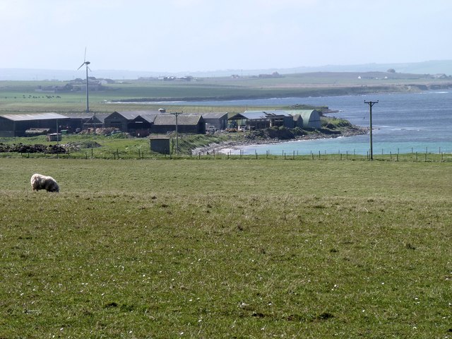
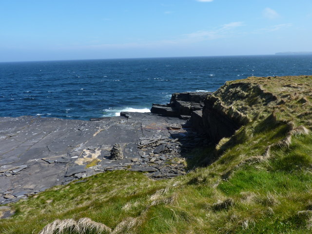
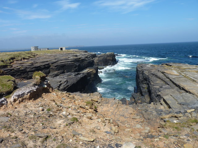
The Bay of Lea Taing is a picturesque and tranquil bay located on the north coast of the island of Orkney in Scotland. Situated near the village of Birsay, this bay is renowned for its natural beauty, stunning coastal views, and rich historical significance.

The bay is characterized by its sandy beach, which stretches for approximately half a mile and provides a perfect spot for sunbathing, picnicking, and leisurely walks. The crystal-clear waters of the bay are ideal for swimming and various water activities such as kayaking and paddleboarding.

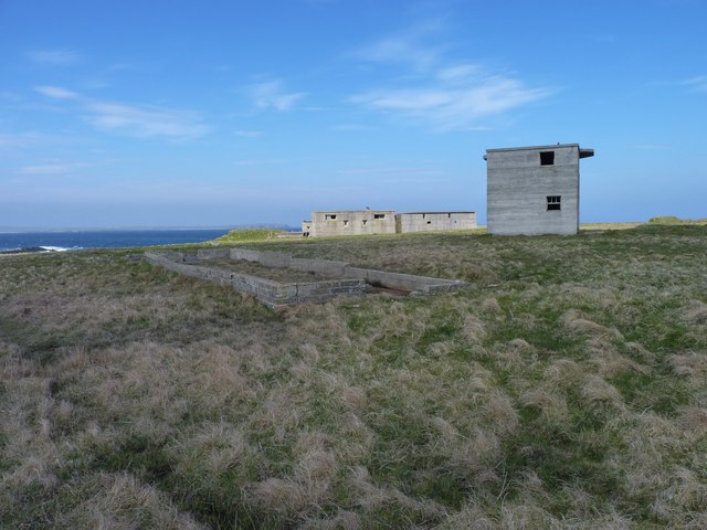
One of the main attractions of the Bay of Lea Taing is the Brough of Birsay, a small tidal island that can be accessed by a causeway during low tide. This island is home to the remains of an ancient Norse settlement, including a well-preserved Viking settlement and a 12th-century Norse church. Visitors can explore these historical ruins and immerse themselves in the rich heritage of the area.

The bay is also a popular site for birdwatching, as it serves as a nesting and feeding ground for a variety of seabirds, including puffins, fulmars, and guillemots. Wildlife enthusiasts can spot seals and occasionally dolphins and whales in the bay's waters.

With its breathtaking natural landscapes, fascinating historical sites, and abundant wildlife, the Bay of Lea Taing offers a remarkable experience for visitors seeking tranquility and a deep connection with nature and history.

If you have any feedback on the listing, please let us know in the comments section below.

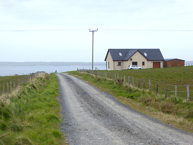
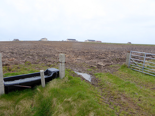
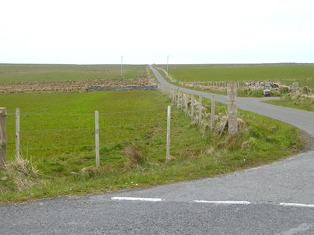
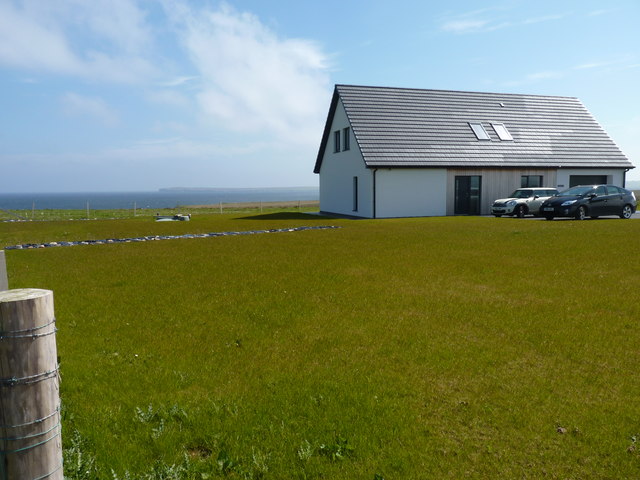
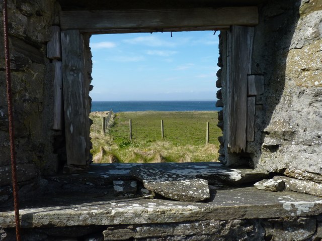
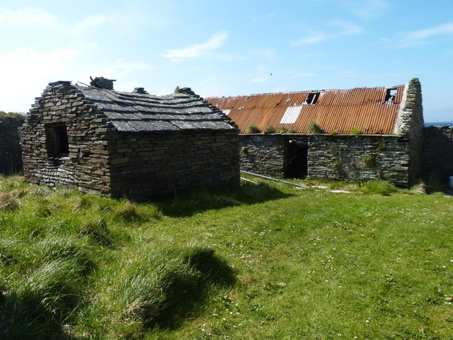
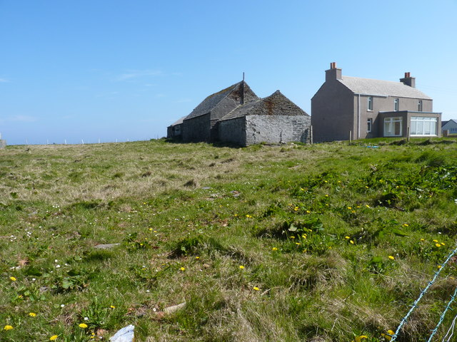
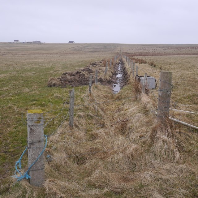
Bay of Lea Taing Images

Images are sourced within 2km of 58.980555/-2.791986 or Grid Reference HY5410. Thanks to Geograph Open Source API. All images are credited.

Rerwick Head The nearest building, left of centre, is one of the military defences remaining from the Second World War.
Rerwick Head
The nearest building, left of centre, is one of the military defences remaining from the Second World War.
Heatherhouse New bungalow on the Tankerness peninsula. The waters of Deer Sound can be seen beyond.
Heatherhouse
New bungalow on the Tankerness peninsula. The waters of Deer Sound can be seen beyond.
Ploughed field on Skibbowick Hill The houses on the skyline are off the Tankerness Hall Road <a href="https://www.geograph.org.uk/gridref/HY5309">HY5309</a>. The bungalow with the red roof can be seen in closeup in <a href="https://www.geograph.org.uk/photo/4524566">HY5309 : Modern bungalow on Fea Hill</a>.
Ploughed field on Skibbowick Hill
The houses on the skyline are off the Tankerness Hall Road HY5309. The bungalow with the red roof can be seen in closeup in HY5309 : Modern bungalow on Fea Hill.
Tankerness Hall Road The eastern end of the road is a cul de sac leading to Holland and Boondatoon only.
Tankerness Hall Road
The eastern end of the road is a cul de sac leading to Holland and Boondatoon only.
Holland One of the many places in the Northern Isles named Holland or Houlland.
Holland
One of the many places in the Northern Isles named Holland or Houlland.
Rerwick Head Taken from the Aberdeen-Orkney-Shetland ferry.
Rerwick Head
Taken from the Aberdeen-Orkney-Shetland ferry.
Disused enclosure The walls that remain are of substantial looking dry stone construction.
Disused enclosure
The walls that remain are of substantial looking dry stone construction.
Modern house On the road towards Rerwick Head. The island on the horizon is Stronsay.
Modern house
On the road towards Rerwick Head. The island on the horizon is Stronsay.
Farm buildings at Heatherhouse Seen from the road to Rerwick Head.
Farm buildings at Heatherhouse
Seen from the road to Rerwick Head.
Rock platform Someone has taken the trouble to build a small cairn of broken laminar rock fragments.
Rock platform
Someone has taken the trouble to build a small cairn of broken laminar rock fragments.
Coastal rocks Looking towards Rerwick head and the remains of WW1 and WW2 defences.
Coastal rocks
Looking towards Rerwick head and the remains of WW1 and WW2 defences.
Coastal defences WW2 Observation tower and remains of other WW2 defence buildings at Rerwick Head.
Coastal defences WW2
Observation tower and remains of other WW2 defence buildings at Rerwick Head.
Rocks at Rerwick point At this state of tide the actual square containing Rerwick Point is inaccessible on foot.
Rocks at Rerwick point
At this state of tide the actual square containing Rerwick Point is inaccessible on foot.
Abandoned dry stone building Close to Rerwick Point.
Abandoned dry stone building
Close to Rerwick Point.
Room with a view The room may have vanished but the view (of Shapinsay Sound) is still there.
Room with a view
The room may have vanished but the view (of Shapinsay Sound) is still there.
Abandoned croft Buildings at Rerwick.
Abandoned croft
Buildings at Rerwick.
Grunkeys farm On the OS map it is named Boondatoon but there is a signeboard in the garden beside it with the name Grunkeys.
Grunkeys farm
On the OS map it is named Boondatoon but there is a signeboard in the garden beside it with the name Grunkeys.
Ditch, Tankerness
Ditch, Tankerness
Show me another place!

Bay of Lea Taing is located at Grid Ref: HY5410 (Lat: 58.980555, Lng: -2.791986)

Unitary Authority: Orkney Islands

Police Authority: Highlands and Islands

What 3 Words

///mats.booms.happier. Near Tankerness, Orkney Islands

Related Wikis

Loch of Tankerness

Loch of Tankerness is a large, lowland, freshwater loch on the Orkney mainland in Scotland. The loch is roughly triangular in shape and is shallow with...

Deerness

Deerness (, locally , Old Norse: Dyrnes) is a quoad sacra parish (i.e. one created and functioning for ecclesiastical purposes only) and peninsula in Mainland...

Tankerness

Tankerness is a district in the St Andrews parish in Mainland, Orkney, Scotland. Essentially a peninsula, it is about 13 kilometres (8 mi) south-east of...

St Andrews, Orkney

St Andrews is a parish on Mainland, Orkney in Scotland. It is located east of the town of Kirkwall and the parish of St Ola and lies north of Holm and...

Nearby Amenities

Located within 500m of 58.980555,-2.791986
The Stick
Place: locality
Lat/Long: 58.9781265/-2.7914952
Bacon Tub
Place: locality
Lat/Long: 58.9784693/-2.7942203
Hebers Geo
Place: locality
Lat/Long: 58.9775957/-2.7925895
Long Kist
Place: locality
Lat/Long: 58.9769321/-2.7934049
Castle of Hangie Bay
Place: locality
Lat/Long: 58.9765561/-2.7934908
Hole of Roe
Place: locality
Lat/Long: 58.9820078/-2.7954863
Deer Sound
Place: locality
Lat/Long: 58.9819636/-2.7901005
Lea Taing
Place: locality
Lat/Long: 58.9796083/-2.7902507
Hangie Bay
Natural: bay
Lat/Long: 58.9771988/-2.7935261
Bay of Lea Taing
Natural: bay
Lat/Long: 58.9803919/-2.7918953
Bay of Latherbare
Natural: bay
Lat/Long: 58.9830733/-2.7954412
The data included in this document is from www.openstreetmap.org. The data is made available under ODbL.

Have you been to Bay of Lea Taing?

Leave your review of Bay of Lea Taing below (or comments, questions and feedback).