Bay of Tafts
Bay in Orkney
Scotland
Bay of Tafts
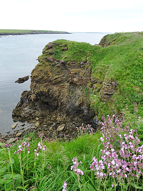
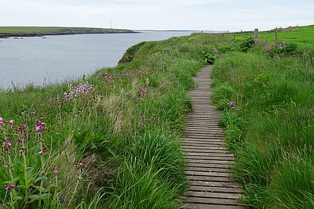
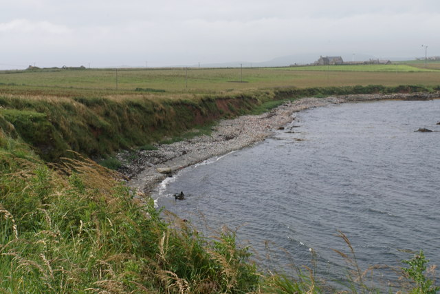
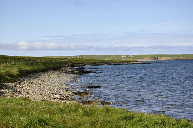
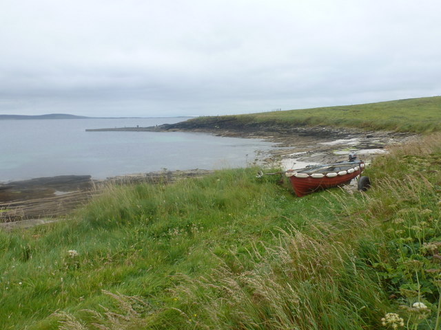
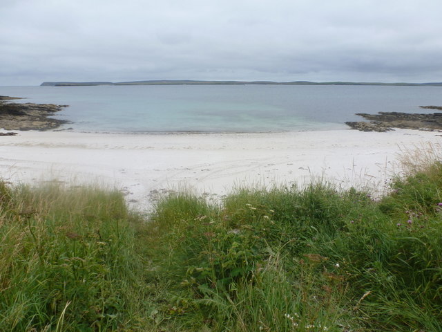
The Bay of Tafts is a picturesque coastal inlet located on the island of Westray in the Orkney archipelago, off the northeastern coast of Scotland. This bay is situated on the western side of the island and is renowned for its stunning natural beauty and tranquil atmosphere.
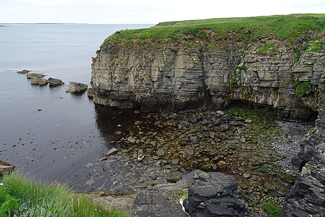
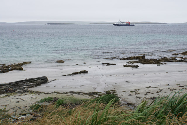
Surrounded by rolling hills and verdant meadows, the Bay of Tafts offers visitors breathtaking views of the rugged coastline and the shimmering turquoise waters of the North Atlantic Ocean. The bay itself is a sheltered inlet, providing a safe haven for various marine species and a popular spot for birdwatching enthusiasts.
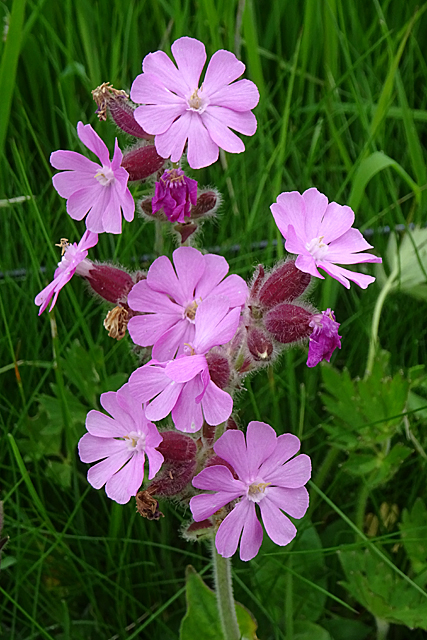
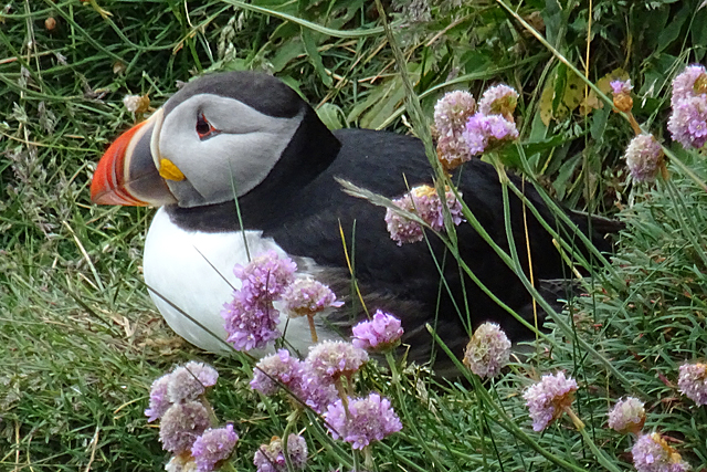
The area is home to a diverse range of bird species, including fulmars, puffins, guillemots, and razorbills, making it an important habitat for seabirds. During the breeding season, the bay becomes a bustling colony, with thousands of birds nesting on the cliffs and foraging in the waters.
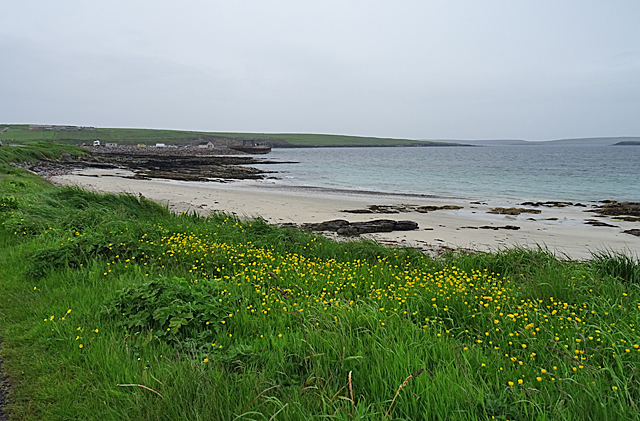
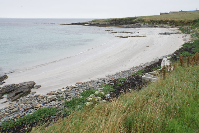
The Bay of Tafts also boasts a sandy beach, known for its fine golden sand and crystal-clear waters. The beach offers a peaceful retreat for visitors, who can enjoy leisurely walks along the shore, picnics, or simply soak up the sun while taking in the stunning coastal scenery.
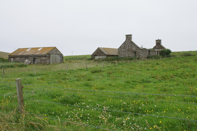
In addition to its natural beauty, the Bay of Tafts holds historical significance, with nearby sites such as the Noltland Castle and the Westray Heritage Centre providing insights into the island's rich cultural heritage.
Overall, the Bay of Tafts is a hidden gem in Orkney, offering visitors a tranquil and idyllic coastal experience amidst breathtaking natural surroundings.
If you have any feedback on the listing, please let us know in the comments section below.
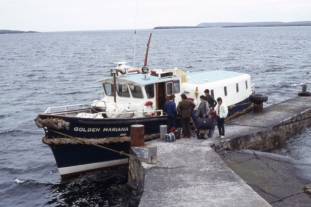
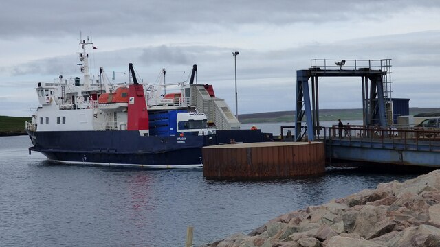
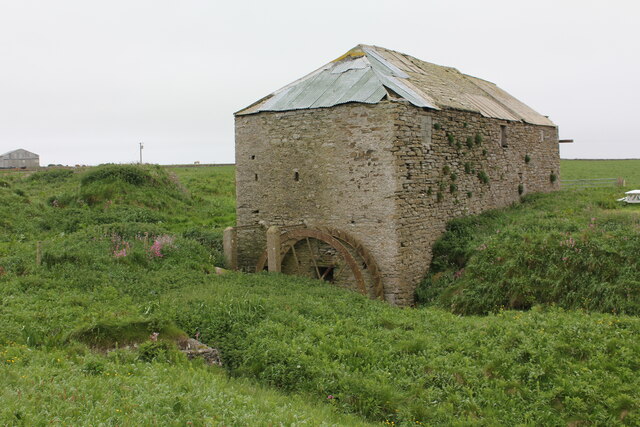
Bay of Tafts Images
Images are sourced within 2km of 59.251365/-2.8828627 or Grid Reference HY4940. Thanks to Geograph Open Source API. All images are credited.
Bay of Tafts is located at Grid Ref: HY4940 (Lat: 59.251365, Lng: -2.8828627)
Unitary Authority: Orkney Islands
Police Authority: Highlands and Islands
What 3 Words
///skate.stuffy.lavished. Near Pierowall, Orkney Islands
Nearby Locations
Related Wikis

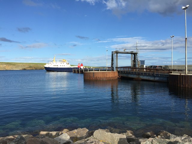
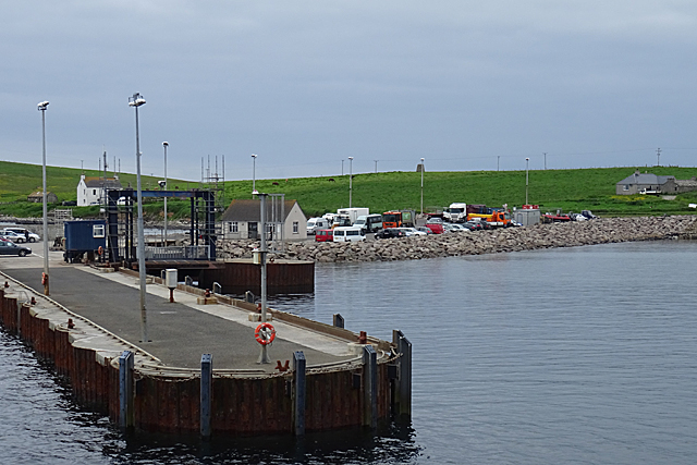
Rapness
Rapness is a settlement on the island of Westray in Orkney, Scotland. The slipway is the ferry terminal for the Orkney Ferries crossing from Kirkwall on...

Holm of Faray
The Holm of Faray is a small island in Orkney, Scotland, near Faray and Westray, which it lies between. Together with its neighbour Faray, it is designated...

Westside Church
Westside Church, (also known as Cross Kirk), is a ruined 12th century church located on the island of Westray in Orkney, Scotland. Archaeological excavations...

Rusk Holm
Rusk Holm is a small island in the Orkney Islands, near Faray to the west. == History == There is a prehistoric cairn on it . Rusk Holm is also home to...
Nearby Amenities
Located within 500m of 59.251365,-2.8828627Have you been to Bay of Tafts?
Leave your review of Bay of Tafts below (or comments, questions and feedback).