Bay of Vady

Bay in Orkney

Scotland

Bay of Vady

St. Magnus Church, Egilsay
St. Magnus Church, Egilsay Credit: Fabio Sassi

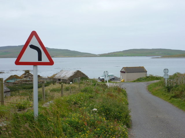
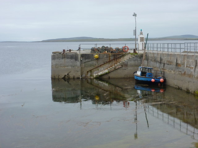
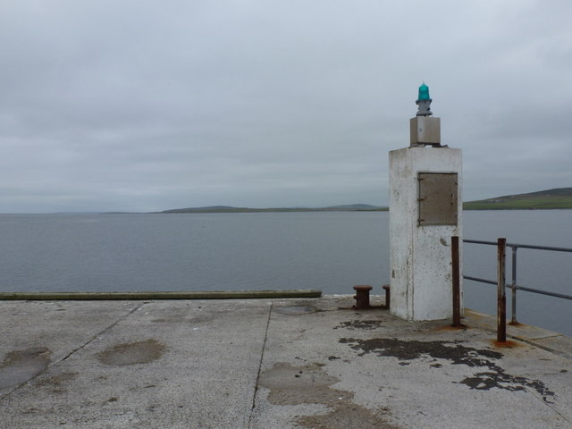
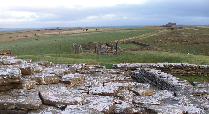
The Bay of Vady is a picturesque and historically significant bay located in the Orkney Islands, Scotland. Situated on the eastern coastline of the island of South Ronaldsay, the bay offers stunning views of the North Sea and surrounding landscapes.

The Bay of Vady is known for its beautiful sandy beaches, which are a popular attraction for both tourists and locals. The beach is ideal for sunbathing, picnicking, and leisurely walks along the shore. It is also a haven for birdwatching enthusiasts, as the bay is home to a wide variety of bird species, including oystercatchers, terns, and gulls.

In addition to its natural beauty, the Bay of Vady holds historical significance. It was the site of the Battle of Ronaldsway in 1275, where Scottish forces defeated Norwegian invaders. The bay was also an important port during the Norse period, serving as a trading hub for the region.

Today, the bay remains a tranquil and idyllic spot, offering visitors a chance to relax and enjoy the beauty of nature. Nearby, there are several amenities including cafes, shops, and accommodation options, making it a convenient destination for a day trip or a longer stay in the Orkney Islands. Whether one seeks a peaceful walk along the beach or an opportunity to learn about the area's rich history, the Bay of Vady has much to offer.

If you have any feedback on the listing, please let us know in the comments section below.

Bay of Vady Images

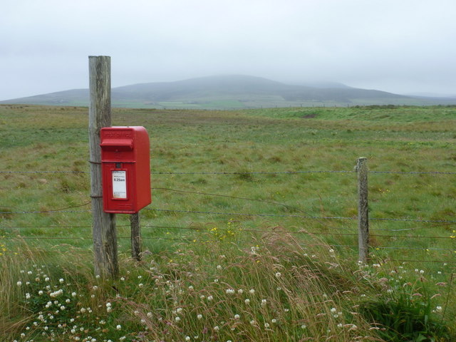
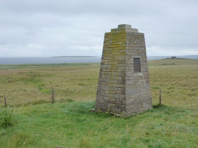
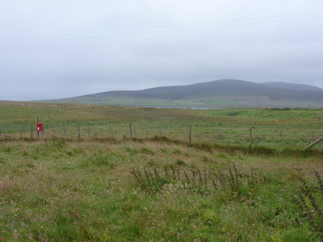
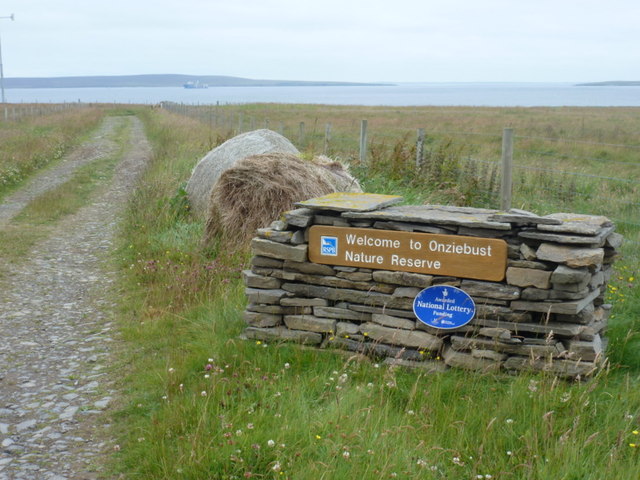
Images are sourced within 2km of 59.138733/-2.9363053 or Grid Reference HY4628. Thanks to Geograph Open Source API. All images are credited.

St. Magnus Church, Egilsay
Egilsay: southward view along the road The island crossroads is in the foreground of the picture, beyond which we look along the straight road running south. The island's postbox is on the right just beyond the junction.
Egilsay: southward view along the road
The island crossroads is in the foreground of the picture, beyond which we look along the straight road running south. The island's postbox is on the right just beyond the junction.
Egilsay: the road to the ferry Approaching the ferry slipway, which is hidden behind the house. The island of Rousay is in the background.
Egilsay: the road to the ferry
Approaching the ferry slipway, which is hidden behind the house. The island of Rousay is in the background.
Egilsay: the school The island's school is currently 'mothballed' because there are no children of primary school age on the island.
Egilsay: the school
The island's school is currently 'mothballed' because there are no children of primary school age on the island.
Egilsay: postbox № KW17 61 The island's postbox is attached to a large wooden pole by the crossroads and is emptied at 8:25 each morning except Sunday. The island of Rousay is in the distance.
Egilsay: postbox № KW17 61
The island's postbox is attached to a large wooden pole by the crossroads and is emptied at 8:25 each morning except Sunday. The island of Rousay is in the distance.
Egilsay: St. Magnus the Martyr monument The plaque states:

Erected by the rector and congregation of St. Magnus the Martyr by London Bridge, and the minister and congregation of St. Magnus cathedral Kirkwall, to mark the traditional spot where Earl Magnus was slain, A.D. c.1116 and to commemorate the octocentenary of St. Magnus cathedral, 1937.
Egilsay: St. Magnus the Martyr monument
The plaque states: Erected by the rector and congregation of St. Magnus the Martyr by London Bridge, and the minister and congregation of St. Magnus cathedral Kirkwall, to mark the traditional spot where Earl Magnus was slain, A.D. c.1116 and to commemorate the octocentenary of St. Magnus cathedral, 1937.
Egilsay: view past the postbox towards Rousay The island's postbox (see <a href="https://www.geograph.org.uk/photo/2584959">HY4630 : Egilsay: postbox № KW17 61</a>) provides a splash of colour on a grey, drizzly day as we look across the island towards the slopes of the neighbourning isle of Rousay.
Egilsay: view past the postbox towards Rousay
The island's postbox (see HY4630 : Egilsay: postbox № KW17 61) provides a splash of colour on a grey, drizzly day as we look across the island towards the slopes of the neighbourning isle of Rousay.
Egilsay: welcome to Onziebust Nature Reserve Looking along the road east from the crossroads. The island across the water is Eday.
Egilsay: welcome to Onziebust Nature Reserve
Looking along the road east from the crossroads. The island across the water is Eday.
Egilsay: approaching the ferry slipway I believe the road signs in this photo are, with the exception of a tourist direction sign for the church, the only ones on the island. The road is seen here as it curves round to the slipway where the ferry berths.
Egilsay: approaching the ferry slipway
I believe the road signs in this photo are, with the exception of a tourist direction sign for the church, the only ones on the island. The road is seen here as it curves round to the slipway where the ferry berths.
Egilsay: public telephone The phone is in the waiting room for the ferry.
Egilsay: public telephone
The phone is in the waiting room for the ferry.
Egilsay: boat moored at the pier Standing on the ferry slipway, we look out past a small fishing boat which is moored on the subatantial concrete pier which I believe has been recently rebuilt.
Egilsay: boat moored at the pier
Standing on the ferry slipway, we look out past a small fishing boat which is moored on the subatantial concrete pier which I believe has been recently rebuilt.
Egilsay: end of the pier Looking along the Rousay Sound past the green beacon on the end of the concrete pier.
Egilsay: end of the pier
Looking along the Rousay Sound past the green beacon on the end of the concrete pier.
Egilsay: ferry arriving The ferry, which serves Rousay and Wyre as well, approaches the slipway at Egilsay. I would be the only passenger embarking, just as I was the only person arriving here a few hours ago!
Egilsay: ferry arriving
The ferry, which serves Rousay and Wyre as well, approaches the slipway at Egilsay. I would be the only passenger embarking, just as I was the only person arriving here a few hours ago!
Egilsay and St Magnus's church, seen from Rousay
St Magnus Kirk on Egilsay St Magnus Kirk is one of only two remaining examples of the distinctive round towered churches built by the Vikings. In 1117 Earl Magnus was murdered on the island.
St Magnus Kirk on Egilsay
St Magnus Kirk is one of only two remaining examples of the distinctive round towered churches built by the Vikings. In 1117 Earl Magnus was murdered on the island.
Monument and land to Howan on Egilsay The monument from 1917 commemorates the spot where, some believe, Earl Magnus (of St Magnus fame) was slain 800 years before. Some locals however believe he was killed on the beach close to Howan, seen in the distance, but that the monument builders felt it was too far to carry the stone.
Monument and land to Howan on Egilsay
The monument from 1917 commemorates the spot where, some believe, Earl Magnus (of St Magnus fame) was slain 800 years before. Some locals however believe he was killed on the beach close to Howan, seen in the distance, but that the monument builders felt it was too far to carry the stone.
Egilsay Jetty
Egilsay Jetty
Coastline at Skaill, Egilsay This old winch lies on the foreshore, just north of the pier at Skaill. In the distance is the island of Rousay.
Coastline at Skaill, Egilsay
This old winch lies on the foreshore, just north of the pier at Skaill. In the distance is the island of Rousay.
Show me another place!

Bay of Vady is located at Grid Ref: HY4628 (Lat: 59.138733, Lng: -2.9363053)

Unitary Authority: Orkney Islands

Police Authority: Highlands and Islands

What 3 Words

///defaults.bank.hammer. Near Brinian, Orkney Islands

Related Wikis

Egilsay

Egilsay (, Scots: Egilsay) is one of the Orkney Islands in Scotland, lying east of Rousay. The island is largely farmland and is known for its corncrakes...

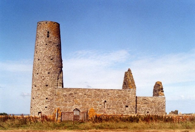
St Magnus Church, Egilsay

St Magnus's Church is a ruined medieval church located on the island of Egilsay, in Orkney, Scotland. The site is recognized as the place of execution...

Wyre, Orkney

Wyre (historically known as Viera and Veira) is one of the Orkney Islands, lying south-east of Rousay. It is 311 hectares (1.20 sq mi) and 32 metres (105...

St. Mary's Chapel, Wyre

St. Mary's Chapel is a ruined 12th century chapel found on the island of Wyre, in Orkney, Scotland. It is thought to have been built by a Norse chieftain...

Nearby Amenities

Located within 500m of 59.138733,-2.9363053
Power: pole
Lat/Long: 59.1397053/-2.9353961
Power: pole
Lat/Long: 59.1404496/-2.935026
Power: pole
Lat/Long: 59.1411417/-2.9347041
Power: pole
Lat/Long: 59.1427609/-2.9339182
The data included in this document is from www.openstreetmap.org. The data is made available under ODbL.

Have you been to Bay of Vady?

Leave your review of Bay of Vady below (or comments, questions and feedback).