Bay of Tuquoy

Bay in Orkney

Scotland

Bay of Tuquoy

Old Milestone facing Bay of Tuquoy, Westray Parish By the UC road, in parish of Westray (District), Tuquoy, 100m South of corner near farm.

Inscription reads:- : P / 3½ : (To Pierowall)

Surveyed

Milestone Society National ID: OR_WYPWTQ04.
Old Milestone facing Bay of Tuquoy, Westray Parish Credit: Milestone Society

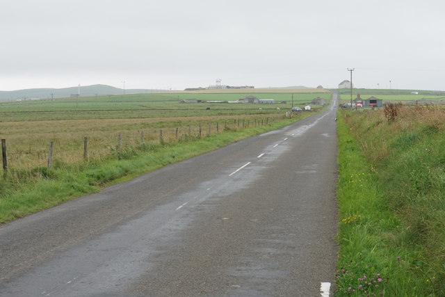
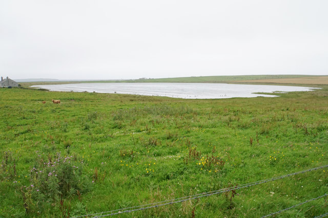
The Bay of Tuquoy is a picturesque coastal area located in Orkney, Scotland. Situated on the eastern coast of the mainland, it is known for its stunning natural beauty and tranquil surroundings. The bay is nestled between rolling green hills and is bordered by rugged cliffs, offering visitors breathtaking panoramic views of the North Sea.

The bay itself is characterized by its pristine sandy beaches, which stretch for miles along the coastline. These sandy shores provide ample opportunities for beachcombing, sunbathing, and leisurely walks. The crystal-clear waters of the bay are also ideal for swimming and water sports during the warmer months.

Surrounding the Bay of Tuquoy are several notable landmarks and attractions. The nearby village of St. Mary's is home to the historic St. Mary's Church, a charming example of Orkney's architectural heritage. Additionally, the bay is in close proximity to the famous Standing Stones of Stenness and the Ring of Brodgar, both UNESCO World Heritage Sites.

The Bay of Tuquoy is a haven for wildlife enthusiasts, as it serves as a vital habitat for a variety of bird species. Ornithologists flock to the area to observe rare seabirds, such as puffins and guillemots, which nest along the cliffs. The bay is also a popular spot for seal watching, with seals often seen basking on the rocks or swimming in the bay's waters.

Overall, the Bay of Tuquoy is a captivating destination that offers visitors a chance to immerse themselves in the beauty of Orkney's natural landscape and rich history.

If you have any feedback on the listing, please let us know in the comments section below.

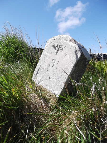
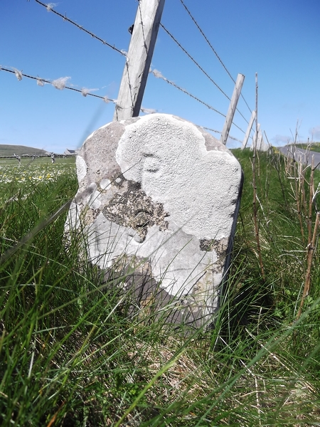
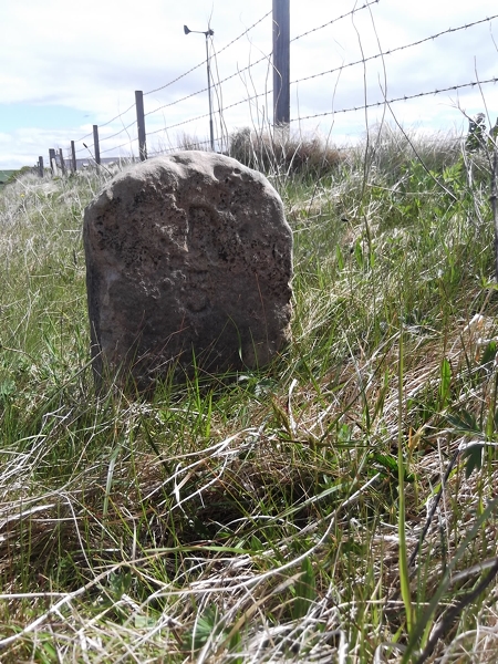
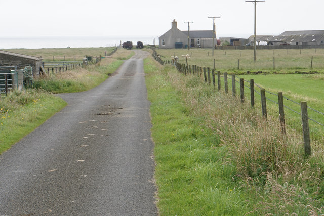
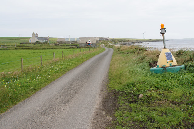
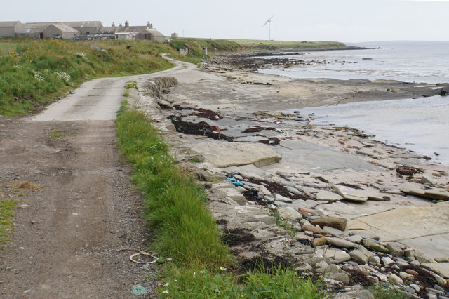
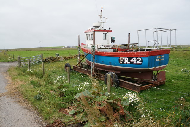
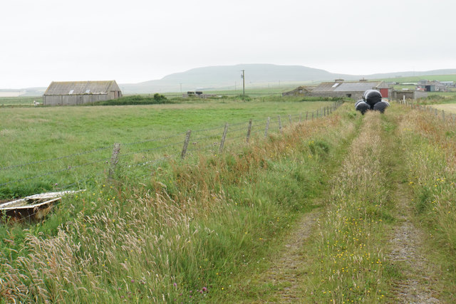
Bay of Tuquoy Images

Images are sourced within 2km of 59.27884/-2.9412731 or Grid Reference HY4643. Thanks to Geograph Open Source API. All images are credited.

Old Milestone facing Bay of Tuquoy, Westray Parish By the UC road, in parish of Westray (District), Tuquoy, 100m South of corner near farm.

Inscription reads:- : P / 3½ : (To Pierowall)

Surveyed

Milestone Society National ID: OR_WYPWTQ04.
Old Milestone facing Bay of Tuquoy, Westray Parish
By the UC road, in parish of Westray (District), Tuquoy, 100m South of corner near farm. Inscription reads:- : P / 3½ : (To Pierowall) Surveyed Milestone Society National ID: OR_WYPWTQ04.
Old Milestone by the B6097, Midbea, Westray By the B6097, in parish of Westray (District), 100m North of crossroads corner, on verge.

Inscription reads:- : P / 3 : : T / ½ :  (To Pierowall and Tuquoy)

Surveyed

Milestone Society National ID: OR_WYPWTQ03.
Old Milestone by the B6097, Midbea, Westray
By the B6097, in parish of Westray (District), 100m North of crossroads corner, on verge. Inscription reads:- : P / 3 : : T / ½ : (To Pierowall and Tuquoy) Surveyed Milestone Society National ID: OR_WYPWTQ03.
Old Milestone by the B9066, near Loch of Swartmill, Westray Parish By the B9066, in parish of Westray (District), Moss brae, opposite red telephone box.

Surveyed

Milestone Society National ID: OR_WYPWRP03.
Old Milestone by the B9066, near Loch of Swartmill, Westray Parish
By the B9066, in parish of Westray (District), Moss brae, opposite red telephone box. Surveyed Milestone Society National ID: OR_WYPWRP03.
Lane to Branstone The lane is not a through road but services a handful of small communities.
Lane to Branstone
The lane is not a through road but services a handful of small communities.
Old bull Sitting down is now the best option. You can see Fitty Hill across the bay behind.
Old bull
Sitting down is now the best option. You can see Fitty Hill across the bay behind.
Road to Cubbigeo The only access to this settlement on the south west coast of Skelwick.
Road to Cubbigeo
The only access to this settlement on the south west coast of Skelwick.
Coastal field near Cubbigeo Branstone Farm overlooks the Bay of Tuquoy.
Coastal field near Cubbigeo
Branstone Farm overlooks the Bay of Tuquoy.
Drainage channel near Cubbigeo Looking inland. The farmland depends on such drainage.
Drainage channel near Cubbigeo
Looking inland. The farmland depends on such drainage.
Road to Cubbigeo A small community by the sea in Skelwick.
Road to Cubbigeo
A small community by the sea in Skelwick.
The shore at Cubbigeo The flat layered rock means you don't need to construct a slipway.
The shore at Cubbigeo
The flat layered rock means you don't need to construct a slipway.
The coast at Cubbigeo Looking north west along the coast towards Branstone Farm and the Bay of Tuquoy.
The coast at Cubbigeo
Looking north west along the coast towards Branstone Farm and the Bay of Tuquoy.
Fishing boat high and dry at Cubbigeo It is a long way from Fraserburgh where it is registered.
Fishing boat high and dry at Cubbigeo
It is a long way from Fraserburgh where it is registered.
Farm track to East Gretna Green Silage bales are being stored on this track, but there is another track for access to the farm off the main road.
Farm track to East Gretna Green
Silage bales are being stored on this track, but there is another track for access to the farm off the main road.
The B9066 near Gretna Green Heading towards Pierowall through the centre of Westray.
The B9066 near Gretna Green
Heading towards Pierowall through the centre of Westray.
Track towards Garth You are not sure from the map whether there is a track here, or how far it goes.
Track towards Garth
You are not sure from the map whether there is a track here, or how far it goes.
Sheep near Bonni Min
Pampas grass avenue Pampas grass grows well in this windy and salty environment, but this is nevertheless a good display. The boat is also for display only.
Pampas grass avenue
Pampas grass grows well in this windy and salty environment, but this is nevertheless a good display. The boat is also for display only.
Loch of Swartmill A freshwater loch in the centre of Westray.
Loch of Swartmill
A freshwater loch in the centre of Westray.
Show me another place!

Bay of Tuquoy is located at Grid Ref: HY4643 (Lat: 59.27884, Lng: -2.9412731)

Unitary Authority: Orkney Islands

Police Authority: Highlands and Islands

What 3 Words

///daylight.rucksack.alleges. Near Pierowall, Orkney Islands

Related Wikis

Westside Church

Westside Church, (also known as Cross Kirk), is a ruined 12th century church located on the island of Westray in Orkney, Scotland. Archaeological excavations...

Westray

Westray (, Scots: Westree) is one of the Orkney Islands in Scotland, with a usual resident population of just under 600 people. Its main village is Pierowall...

Pierowall

Pierowall is a village of Westray in the Orkney Islands, off the coast of the northern Scottish mainland. The village is the island's largest settlement...

Lady Kirk

The Lady Kirk (or St Mary's Kirk) at Pierowall is a ruined 17th-century church on the island of Westray, in Orkney, Scotland. The church was built in 1674...

Nearby Amenities

Located within 500m of 59.27884,-2.9412731
Bay of Tuquoy
Natural: bay
Lat/Long: 59.2807035/-2.9408169
The data included in this document is from www.openstreetmap.org. The data is made available under ODbL.

Have you been to Bay of Tuquoy?

Leave your review of Bay of Tuquoy below (or comments, questions and feedback).