Shell Bay
Bay in Fife
Scotland
Shell Bay

Shell Bay is a picturesque bay located on the eastern coast of Scotland, in Fife. Situated near the town of Elie, it is known for its stunning sandy beach, clear turquoise waters, and panoramic views of the Firth of Forth.
The bay stretches for approximately 4 kilometers and is backed by rolling dunes covered in marram grass. These dunes not only provide a scenic backdrop but also act as a natural barrier, protecting the bay from strong winds and creating a tranquil atmosphere.
Shell Bay is a popular destination for locals and tourists alike, especially during the summer months when visitors can enjoy sunbathing, picnicking, and leisurely walks along the shore. The beach is also a haven for water sports enthusiasts, with opportunities for swimming, kayaking, and paddleboarding.
Nature enthusiasts will appreciate the diverse wildlife that can be spotted at Shell Bay. Seals can often be seen basking on rocks near the water's edge, while a variety of seabirds, including gulls and terns, soar above the bay.
In addition to its natural beauty, Shell Bay offers convenient amenities for visitors. There is a car park nearby, making it easily accessible, and public toilets are available for public use.
Overall, Shell Bay in Fife is a captivating coastal gem, offering a serene and idyllic setting for beachgoers, nature lovers, and outdoor enthusiasts.
If you have any feedback on the listing, please let us know in the comments section below.
Shell Bay Images
Images are sourced within 2km of 56.191045/-2.8743139 or Grid Reference NO4500. Thanks to Geograph Open Source API. All images are credited.


Shell Bay is located at Grid Ref: NO4500 (Lat: 56.191045, Lng: -2.8743139)
Unitary Authority: Fife
Police Authority: Fife
What 3 Words
///usage.vegetable.sandals. Near Lundin Links, Fife
Nearby Locations
Related Wikis

Kilconquhar railway station
Kilconquhar railway station served the village of Kilconquhar, Fife, Scotland from 1857 to 1965 on the Leven and East of Fife Railway. == History == The...
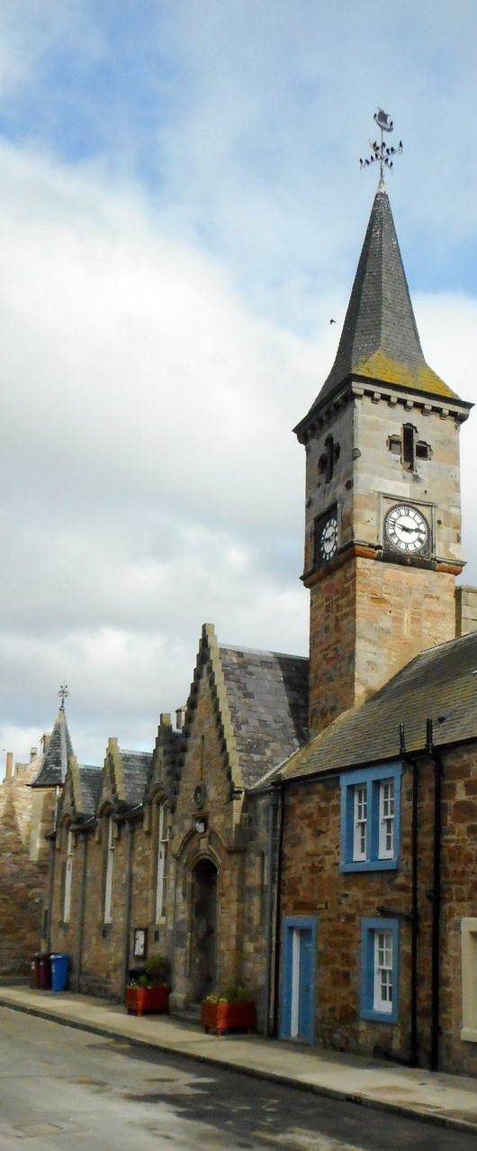
Elie and Earlsferry Town Hall
Elie and Earlsferry Town Hall is a former municipal structure in High Street in Elie and Earlsferry, Scotland. The structure, which is currently used as...

The Golf House Club
The Golf House Club, Elie established in 1875, is a historic members golf club located in the East Neuk of Fife, Scotland. Members have playing rights...

Elie and Earlsferry
Elie and Earlsferry is a coastal town and former royal burgh in Fife, and parish, Scotland, situated within the East Neuk beside Chapel Ness on the north...
Nearby Amenities
Located within 500m of 56.191045,-2.8743139Have you been to Shell Bay?
Leave your review of Shell Bay below (or comments, questions and feedback).