Bay of Brough

Bay in Orkney

Scotland

Bay of Brough

Rocky shore at Bay of Brough, Westray
Rocky shore at Bay of Brough, Westray Credit: Alpin Stewart

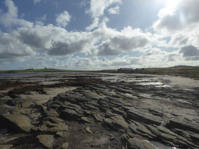
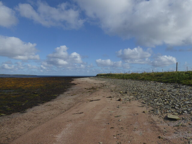
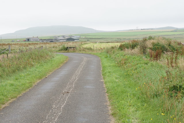
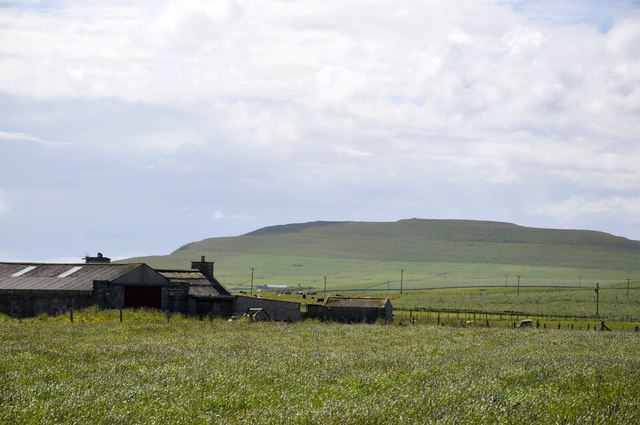
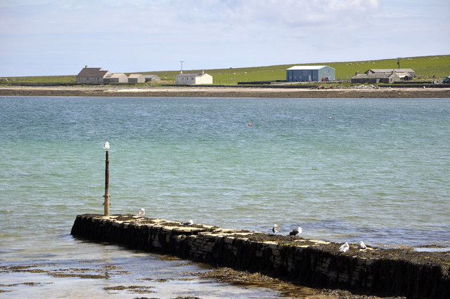
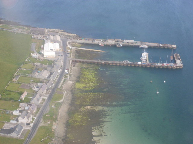
The Bay of Brough is a picturesque bay located on the west coast of the island of Orkney, Scotland. Nestled between the rugged cliffs and rolling green hills, it offers stunning views of the North Atlantic Ocean. The bay is situated about 10 miles northwest of the town of Stromness and is easily accessible by road.

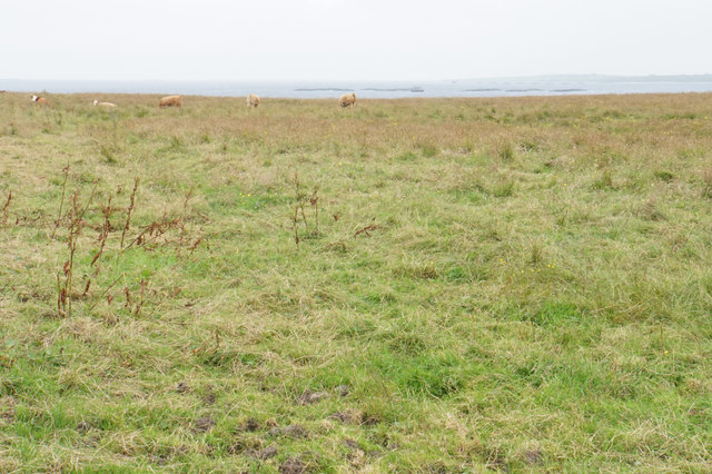
With its pristine sandy beach and crystal-clear turquoise waters, the Bay of Brough is a popular destination for locals and tourists alike. The beach is ideal for leisurely walks, picnics, and sunbathing during the summer months. The calm and tranquil atmosphere of the bay makes it a perfect spot for relaxation and unwinding.

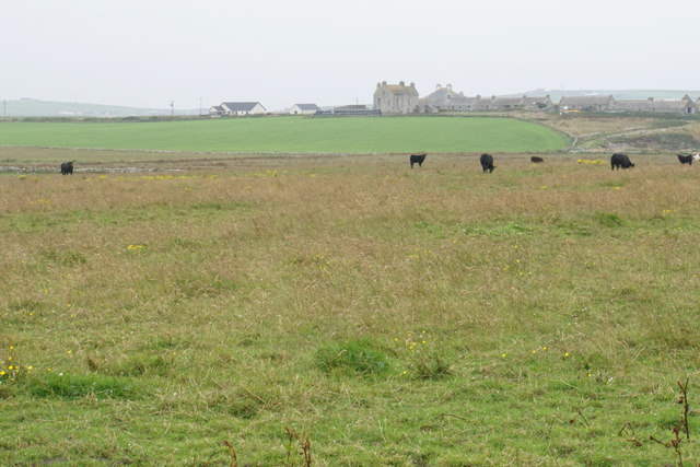
The Bay of Brough is also known for its rich biodiversity. The surrounding cliffs are home to various seabirds, including puffins, guillemots, and razorbills. Birdwatching enthusiasts can enjoy observing these fascinating creatures in their natural habitat. The bay itself is teeming with marine life, making it a great spot for snorkeling and diving.

History buffs will find interest in the ancient ruins of the Brough of Birsay, an uninhabited tidal island located near the bay. This archaeological site dates back to the Viking era and offers a glimpse into Orkney's fascinating past.

Overall, the Bay of Brough is a hidden gem on the Orkney Islands, offering breathtaking natural beauty, abundant wildlife, and a sense of tranquility that makes it a must-visit destination for nature lovers and history enthusiasts.

If you have any feedback on the listing, please let us know in the comments section below.

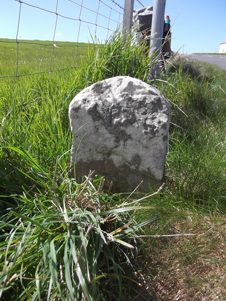
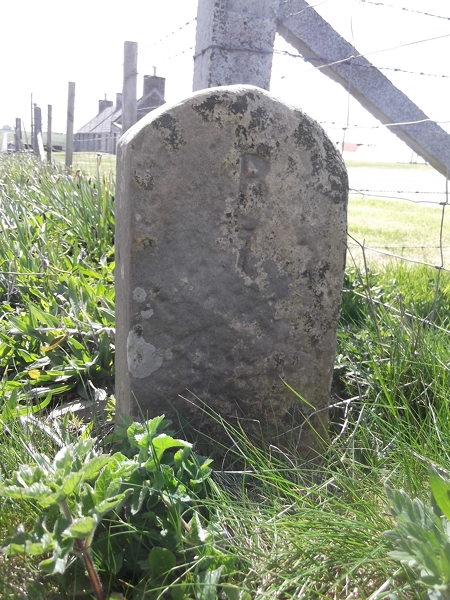
Bay of Brough Images

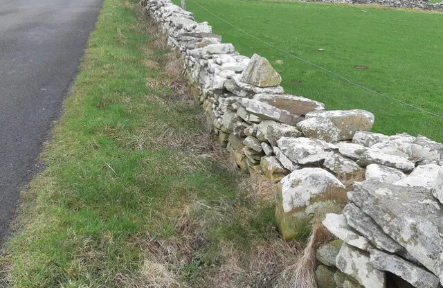
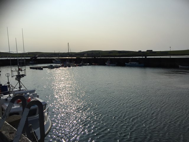
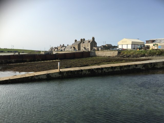
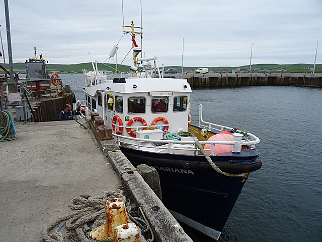
Images are sourced within 2km of 59.31143/-2.9536615 or Grid Reference HY4547. Thanks to Geograph Open Source API. All images are credited.

Rocky shore at Bay of Brough, Westray
Shore at Ness of Brough, Westray
Factory, shop and chippy at Broughton, Westray All under one roof - this business processes the local catch, sells fish daily, and sells fish and chips two nights a week.
Factory, shop and chippy at Broughton, Westray
All under one roof - this business processes the local catch, sells fish daily, and sells fish and chips two nights a week.
Track at Brough, Westray
Old milestone On the B9067 on the island of Westray.   This milestone is about 1/3 mile south of the B9066 junction and south of Quoybirse.   This face is inscribed T/2½ (for Tuquoy), just visible in and below the lichens.   The other face is inscribed P/1 (for Pierowall).  There is a complete set of 4 stones on this route ending with P/3½//T/0 at Tuquoy.
Old milestone
On the B9067 on the island of Westray. This milestone is about 1/3 mile south of the B9066 junction and south of Quoybirse. This face is inscribed T/2½ (for Tuquoy), just visible in and below the lichens. The other face is inscribed P/1 (for Pierowall). There is a complete set of 4 stones on this route ending with P/3½//T/0 at Tuquoy.
Harbour, Westray
Harbour, Westray
Houses by the ferry terminal, Westray
'Golden Mariana' at Gill Pier 'Golden Mariana' operates the passenger-only ferry service between Westray and Papay (Papa Westray).
'Golden Mariana' at Gill Pier
'Golden Mariana' operates the passenger-only ferry service between Westray and Papay (Papa Westray).
Old Milestone by the B9066, Kirkbrae, Westray By the B9066, in parish of Westray (District), Kirkbrae, at 'Blind Summit' sign.

Inscription once read:- : (Pierowall 2) : : (Rapness 6) : 

Surveyed

Milestone Society National ID: OR_WYPWRP02.
Old Milestone by the B9066, Kirkbrae, Westray
By the B9066, in parish of Westray (District), Kirkbrae, at 'Blind Summit' sign. Inscription once read:- : (Pierowall 2) : : (Rapness 6) : Surveyed Milestone Society National ID: OR_WYPWRP02.
Old Milestone by the B9066, Braehead, Westray By the B9066, in parish of Westray (District), Braehead, South of old church, on banking, at corner of fencing.

Surveyed

Milestone Society National ID: OR_WYPWRP01
Old Milestone by the B9066, Braehead, Westray
By the B9066, in parish of Westray (District), Braehead, South of old church, on banking, at corner of fencing. Surveyed Milestone Society National ID: OR_WYPWRP01
Bend in the road near Gretna Green A view of central Westray with Fitty Hill in the background.
Bend in the road near Gretna Green
A view of central Westray with Fitty Hill in the background.
Field for cattle near Nether Cleat The Bay of Cleat can be seen beyond the field and there is a large fish farm in the bay.
Field for cattle near Nether Cleat
The Bay of Cleat can be seen beyond the field and there is a large fish farm in the bay.
Cattle near Cleat Cleat Farm is straight ahead, though it takes a while to drive round to it.
Cattle near Cleat
Cleat Farm is straight ahead, though it takes a while to drive round to it.
East Gretna Green In the distance can be seen Fitty Hill, at 169m (555ft) the highest point on Westray.
East Gretna Green
In the distance can be seen Fitty Hill, at 169m (555ft) the highest point on Westray.
Bay of Pierowall In the distance can be seen Broughton.
Bay of Pierowall
In the distance can be seen Broughton.
Pierowall Harbour
Pierowall Harbour
Pierowall: looking down over the harbour The view from a plane which had just left Westray bound for Kirkwall.
Pierowall: looking down over the harbour
The view from a plane which had just left Westray bound for Kirkwall.
Westray: straight stretch of the B9066 Looking down on the main road through the island, from a plane bound for Kirkwall from Westray.
Westray: straight stretch of the B9066
Looking down on the main road through the island, from a plane bound for Kirkwall from Westray.
Show me another place!

Bay of Brough is located at Grid Ref: HY4547 (Lat: 59.31143, Lng: -2.9536615)

Unitary Authority: Orkney Islands

Police Authority: Highlands and Islands

What 3 Words

///inched.stadium.takeovers. Near Pierowall, Orkney Islands

Nearby Locations

Bay of Brough

Related Wikis

Lady Kirk

The Lady Kirk (or St Mary's Kirk) at Pierowall is a ruined 17th-century church on the island of Westray, in Orkney, Scotland. The church was built in 1674...

Pierowall

Pierowall is a village of Westray in the Orkney Islands, off the coast of the northern Scottish mainland. The village is the island's largest settlement...

Links of Noltland

Links of Noltland is a large prehistoric settlement located on the north coast of the island of Westray in Orkney, Scotland. The extensive ruins includes...

Westray

Westray (, Scots: Westree) is one of the Orkney Islands in Scotland, with a usual resident population of just under 600 people. Its main village is Pierowall...

Nearby Amenities

Located within 500m of 59.31143,-2.9536615
Bay of Brough
Natural: bay
Lat/Long: 59.3115455/-2.9553437
The data included in this document is from www.openstreetmap.org. The data is made available under ODbL.

Have you been to Bay of Brough?

Leave your review of Bay of Brough below (or comments, questions and feedback).