Blowick Bay
Bay in Westmorland Eden
England
Blowick Bay
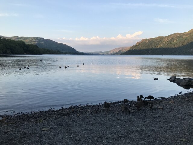
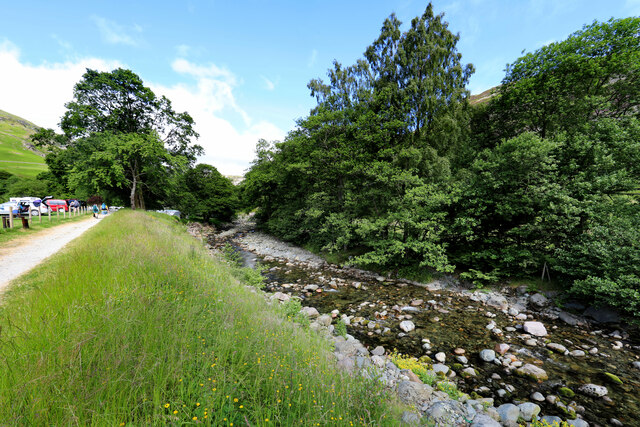
Blowick Bay, located in the county of Westmorland in northwest England, is a picturesque bay renowned for its stunning natural beauty and tranquil ambiance. Situated on the eastern coast of the Irish Sea, the bay is nestled between the towns of Silverdale and Arnside, offering visitors a delightful escape from the hustle and bustle of city life.
With its extensive sandy shoreline and crystal-clear waters, Blowick Bay is a popular destination among beach enthusiasts and nature lovers. The bay provides ample opportunities for relaxation, sunbathing, and picnicking. The calm and gentle waves make it an ideal spot for swimming and other water activities.
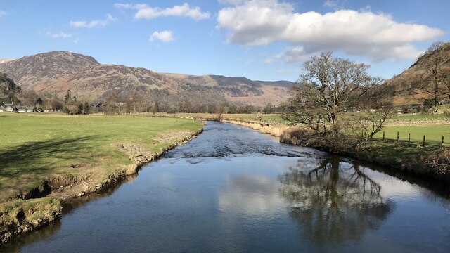
The surrounding landscape of Blowick Bay is characterized by rolling hills, lush green meadows, and ancient woodlands, creating a serene and idyllic setting. The bay is also home to a diverse range of flora and fauna, including various bird species, making it a haven for birdwatching enthusiasts.
For those interested in exploring the area further, Blowick Bay is a gateway to the Arnside and Silverdale Area of Outstanding Natural Beauty, offering numerous walking and hiking trails with breathtaking views of the bay and its surroundings.
Blowick Bay is easily accessible by road, with ample parking facilities available nearby. Local amenities such as cafes, restaurants, and shops can be found in the nearby towns, ensuring a comfortable and enjoyable visit for all.
If you have any feedback on the listing, please let us know in the comments section below.
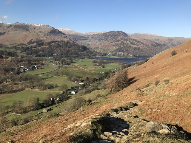
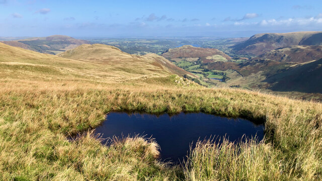
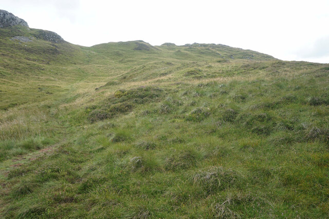
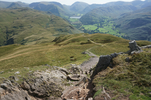
Blowick Bay Images
Images are sourced within 2km of 54.548495/-2.9394004 or Grid Reference NY3917. Thanks to Geograph Open Source API. All images are credited.


Blowick Bay is located at Grid Ref: NY3917 (Lat: 54.548495, Lng: -2.9394004)
Administrative County: Cumbria
District: Eden
Police Authority: Cumbria
What 3 Words
///guarded.cucumber.resonated. Near Ambleside, Cumbria
Nearby Locations
Related Wikis
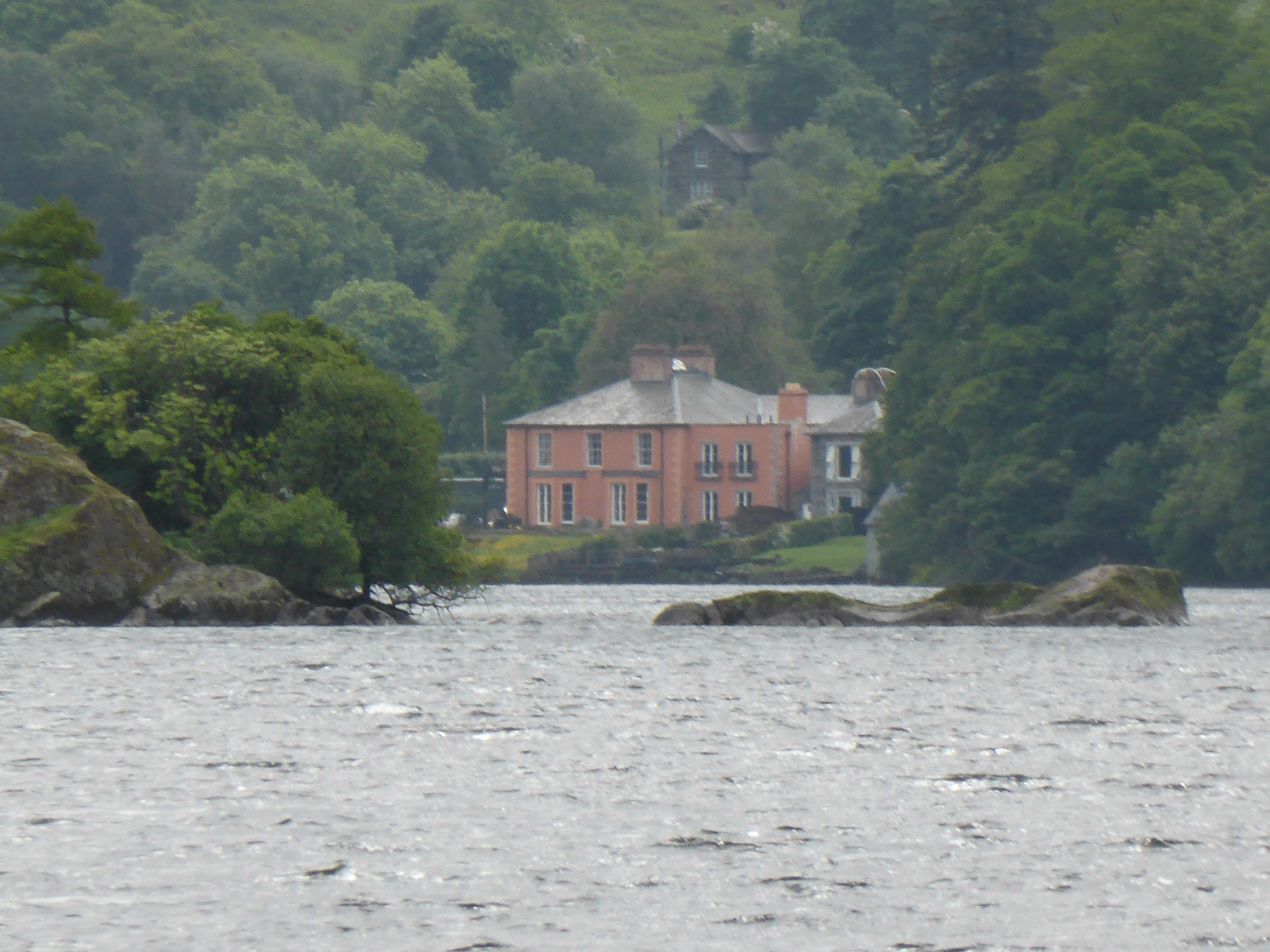
Glenridding House
Glenridding House is a Regency era building in Glenridding on Ullswater, constructed between 1807 and 1814. It was a private summer villa until about 1860...

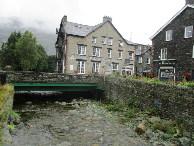
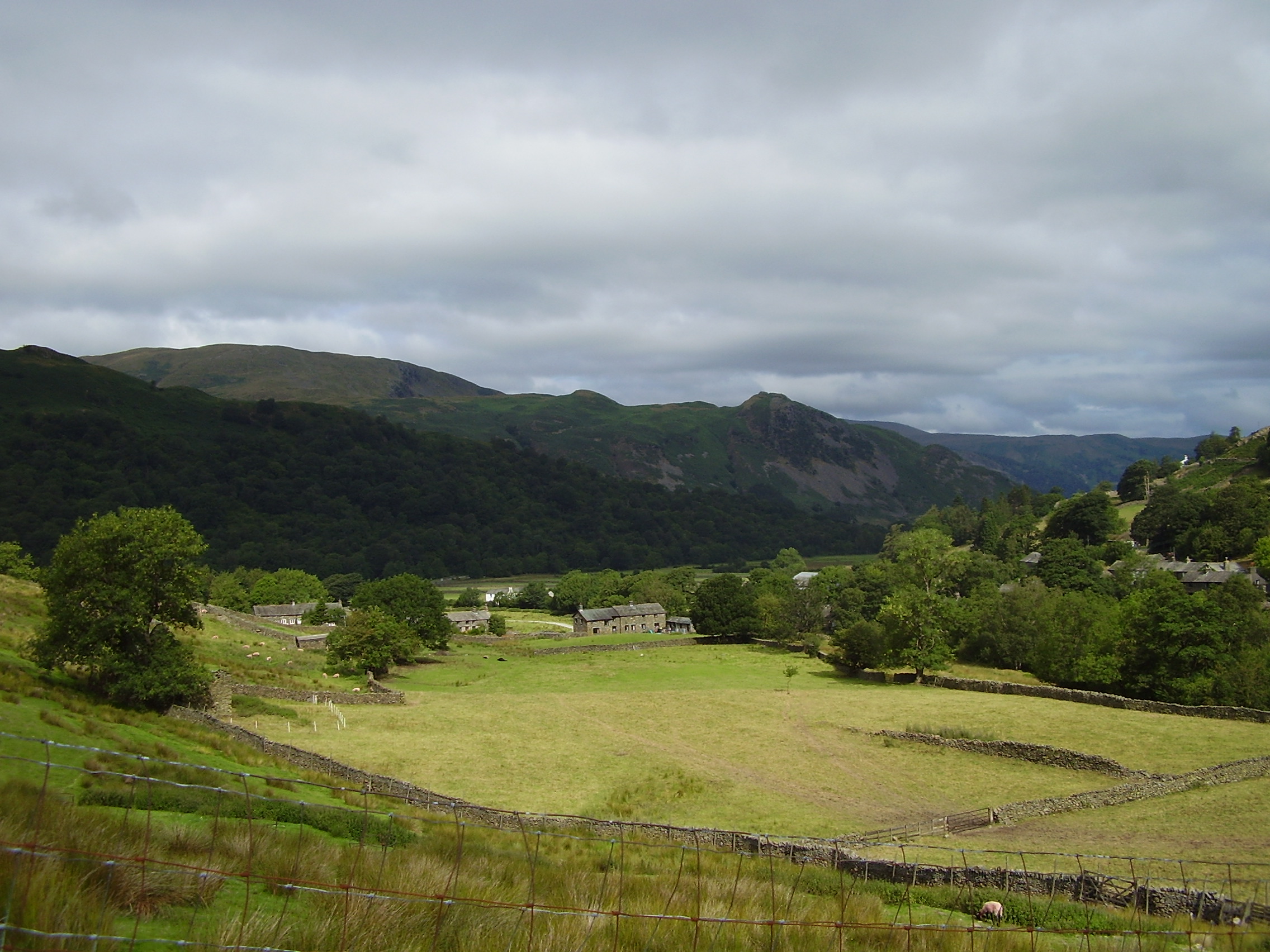
Glenridding
Glenridding is a village at the southern end of Ullswater, in the English Lake District. The village is popular with mountain walkers who can scale England...

Glenridding Dodd
Glenridding Dodd (the rounded hill above Glenridding) is a small fell in the English Lake District, at the end of a ridge descending from the Helvellyn...

Place Fell
Place Fell is a hill in the English Lake District. It stands at the corner of the upper and middle reaches of Ullswater, with steep western flanks overlooking...

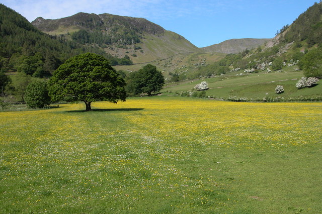
Patterdale
Patterdale (Saint Patrick's Dale) is a small village and civil parish in the eastern part of the English Lake District in the Eden District of Cumbria...
Arnison Crag
Arnison Crag is a fell in the English Lake District, an outlier of the Fairfield group in the Eastern Fells. It looks down on Patterdale village and the...
Sheffield Pike
Sheffield Pike (possibly meaning "the peak above the sheep fold") is a fell in the English Lake District, a prominent intermediate top on one of the eastern...
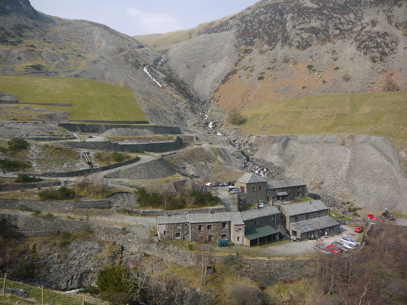
Greenside Mine
Greenside Mine (sometimes referred to as Greenside Lead Mine) was a successful lead mine in the Lake District of England. Between 1825 and 1961 the mine...
Nearby Amenities
Located within 500m of 54.548495,-2.9394004Have you been to Blowick Bay?
Leave your review of Blowick Bay below (or comments, questions and feedback).