Cherry Holm

Island in Westmorland Eden

England

Cherry Holm

Path on Patterdale Common
Path on Patterdale Common Credit: Anthony Foster

Cherry Holm is a small island located in the county of Westmorland, England. Situated in the heart of the beautiful Lake District National Park, this picturesque island offers stunning views and a tranquil atmosphere.

Covering an area of approximately 2 square miles, Cherry Holm is surrounded by the crystal-clear waters of Lake Windermere, the largest lake in England. Accessible only by boat, it provides a sense of seclusion and escape from the bustling mainland.

The island is known for its dense woodland, which is home to a variety of wildlife, including red deer, badgers, and a wide range of bird species. Nature enthusiasts can enjoy peaceful walks through the ancient forest, discovering hidden paths and encountering the island's natural beauty.

Cherry Holm also boasts a rich history, with evidence of human occupation dating back thousands of years. Archaeological finds, such as stone tools and pottery fragments, suggest that the island was inhabited during the Neolithic and Bronze Age periods. Visitors can explore these historical remnants and gain insight into the island's past.

Although Cherry Holm is primarily a nature reserve, it does offer some amenities for visitors. There is a small café where tourists can enjoy a cup of tea or a light snack while taking in the breathtaking views. Additionally, the island has a few secluded picnic areas, providing the perfect spot for a leisurely lunch surrounded by nature.

Overall, Cherry Holm is a hidden gem within the Lake District, offering a peaceful retreat for nature lovers and history enthusiasts alike.

If you have any feedback on the listing, please let us know in the comments section below.
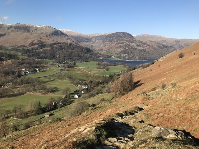
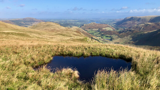
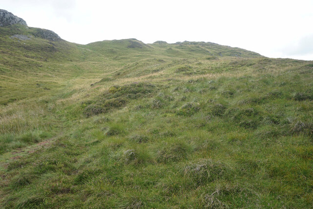
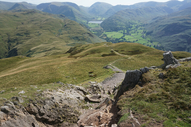
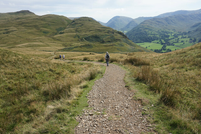
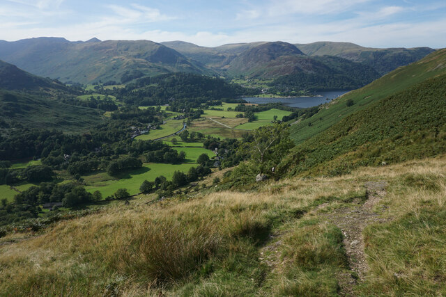
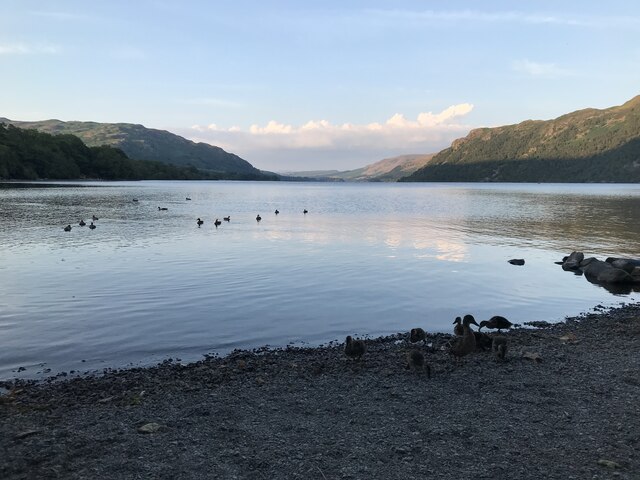
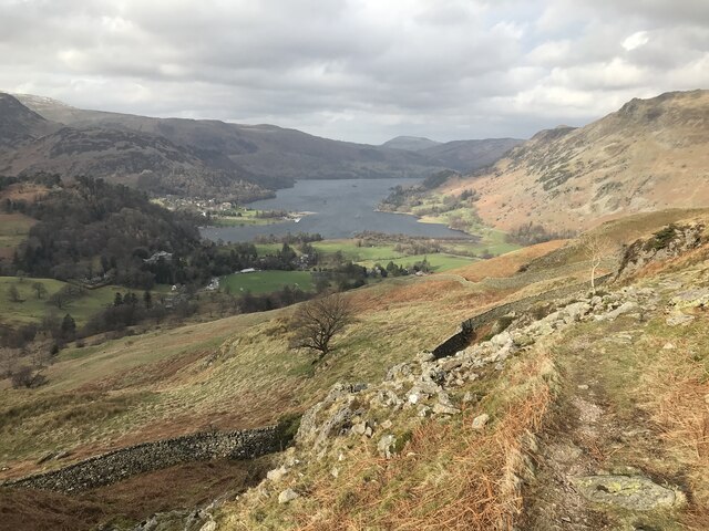
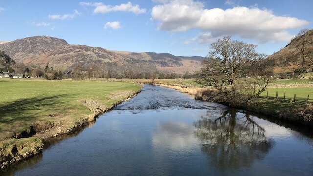
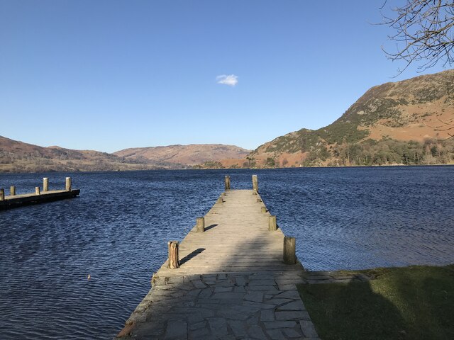
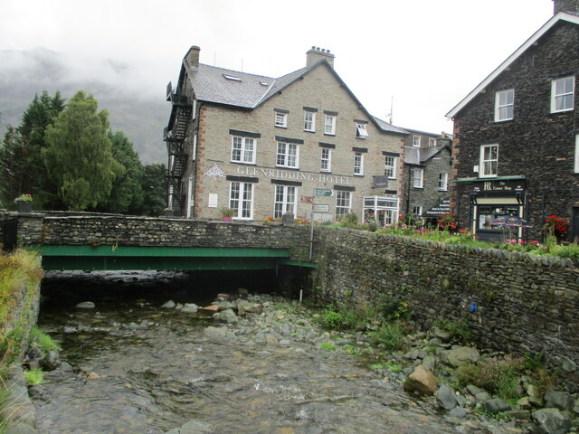
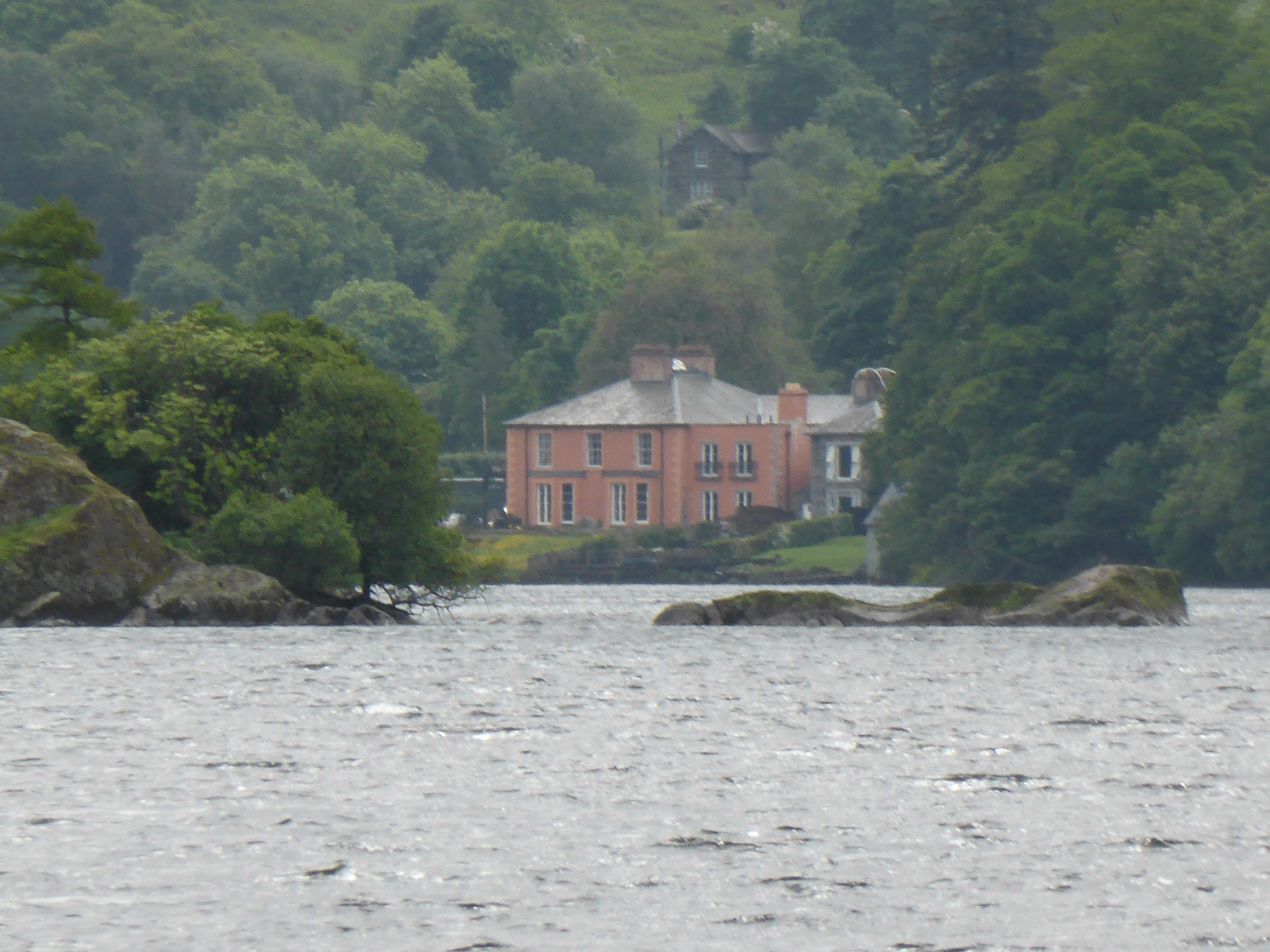
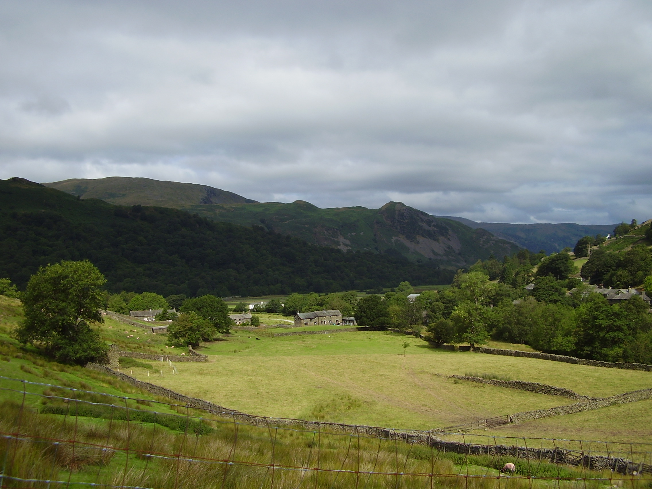
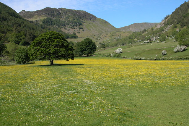
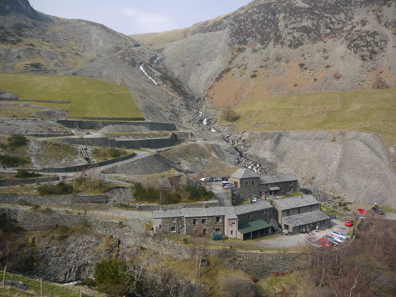
Cherry Holm Images

Images are sourced within 2km of 54.544879/-2.9410177 or Grid Reference NY3917. Thanks to Geograph Open Source API. All images are credited.

Path on Patterdale Common
Small pool above Hawk Crag
Stream on Place Fell
Path near Hare Shaw It is a stiff climb up this way from Patterdale, but the view over Ullswater to Glenridding makes it worth the while. The vegetation changes here from bracken to heather with more of a moorland feel.
Path near Hare Shaw
It is a stiff climb up this way from Patterdale, but the view over Ullswater to Glenridding makes it worth the while. The vegetation changes here from bracken to heather with more of a moorland feel.
Path up to Place Fell The path seems to climb interminably past crags which are not the top. The one partly showing on the left is The Knight.
Path up to Place Fell
The path seems to climb interminably past crags which are not the top. The one partly showing on the left is The Knight.
Moorland plateau above The Knight Part of the ridge of Place Fell  but below the craggy summit. This is looking towards Penrith with the long line of the North Pennines in the background.
Moorland plateau above The Knight
Part of the ridge of Place Fell but below the craggy summit. This is looking towards Penrith with the long line of the North Pennines in the background.
The top of Place Fell The trig pillar stands on a small craggy lump. There are excellent views to the northern end of Ullswater, Penrith and the North Pennines.
The top of Place Fell
The trig pillar stands on a small craggy lump. There are excellent views to the northern end of Ullswater, Penrith and the North Pennines.
The southern side of Place Fell The ridge extends south of the summit to Round How before beginning the descent. Brothers Water and the Kirkstone Pass are seen on the right. High Street is in the central background.
The southern side of Place Fell
The ridge extends south of the summit to Round How before beginning the descent. Brothers Water and the Kirkstone Pass are seen on the right. High Street is in the central background.
The western side of Place Fell The fell overlooks Patterdale. The two subsidiary valleys of Grisedale and Glenridding are quite clear opposite. Helvellyn dominates the background in the centre.
The western side of Place Fell
The fell overlooks Patterdale. The two subsidiary valleys of Grisedale and Glenridding are quite clear opposite. Helvellyn dominates the background in the centre.
Descent from Round How Coming off the Place Fell summit ridge. Patterdale and Brothers Water are down below.
Descent from Round How
Coming off the Place Fell summit ridge. Patterdale and Brothers Water are down below.
Path down to Boredale Hause The path has come down off Place Fell.
Path down to Boredale Hause
The path has come down off Place Fell.
Path down to Patterdale The higher of two paths which come off Boredale Hause.
Path down to Patterdale
The higher of two paths which come off Boredale Hause.
Looking up Glenridding Looking up Glenridding.
Looking up Glenridding
Looking up Glenridding.
Ullswater
Ullswater
Glenamara Park
Glenamara Park
Goldrill Beck
Goldrill Beck
Jetty on Ullswater
Jetty on Ullswater
Glenridding Hotel Glenridding Hotel and Glenridding Beck with the mountains just visible behind
Glenridding Hotel
Glenridding Hotel and Glenridding Beck with the mountains just visible behind
Show me another place!

Cherry Holm is located at Grid Ref: NY3917 (Lat: 54.544879, Lng: -2.9410177)

Administrative County: Cumbria

District: Eden

Police Authority: Cumbria

What 3 Words

///mulled.walls.telephone. Near Ambleside, Cumbria

Related Wikis

Nearby Amenities

Located within 500m of 54.544879,-2.9410177
Ferry Terminal
Lat/Long: 54.5438637/-2.9439899
Purse Point
Place: locality
Lat/Long: 54.5492731/-2.9396625
Blowick Bay
Place: locality
Lat/Long: 54.5482262/-2.9397438
Blowick
Place: locality
Lat/Long: 54.5476225/-2.9370931
Bench
Artists' Seat
Backrest: yes
Material: stone
Lat/Long: 54.5458281/-2.9348463
Charging Station
Access: customers
Bicycle: yes
Fee: no
Motorcar: no
Operator: Ullswater Steamers
Website: https://www.visitlakedistrict.com/explore/travel/electric-bike-charging-points-in-the-lake-district-cumbria
Lat/Long: 54.5438587/-2.9445502
Glenridding Pumping Station
Man Made: pumping_station
Lat/Long: 54.5434515/-2.948136
Vending Machine
Vending: parking_tickets
Lat/Long: 54.5439387/-2.9446477
Barrier: stile
Stile: ladder
Lat/Long: 54.5438915/-2.9348493
The data included in this document is from www.openstreetmap.org. The data is made available under ODbL.

Have you been to Cherry Holm?

Leave your review of Cherry Holm below (or comments, questions and feedback).