Port Neuk
Bay in West Lothian
Scotland
Port Neuk
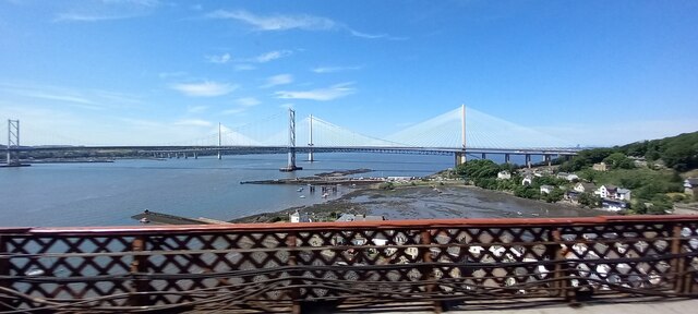
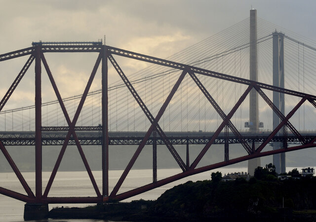
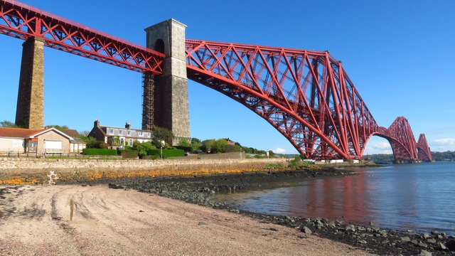
Port Neuk, West Lothian (Bay) is a picturesque coastal village located on the southern coast of West Lothian, Scotland. Nestled between rolling hills and the North Sea, this charming bay is renowned for its natural beauty and tranquil atmosphere. With a population of around 1,500 residents, it offers a close-knit community that prides itself on its rich maritime heritage.
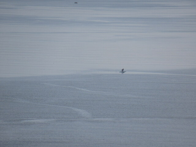
The bay itself is a haven for outdoor enthusiasts and nature lovers, offering stunning panoramic views of the coastline and the rugged cliffs that line the shore. The sandy beaches are perfect for leisurely walks, picnics, and sunbathing during the warmer months. Visitors can also enjoy a variety of water sports such as kayaking, paddleboarding, and sailing in the calm waters of the bay.
Port Neuk is also home to a small fishing fleet, which adds to its authentic charm. The local fishermen can often be seen heading out in their boats, bringing back fresh catches of seafood that are known for their quality and taste. The village has several seafood restaurants and cafes that offer delicious, locally sourced dishes.
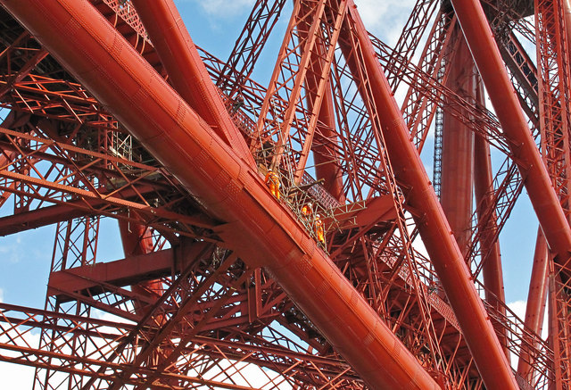
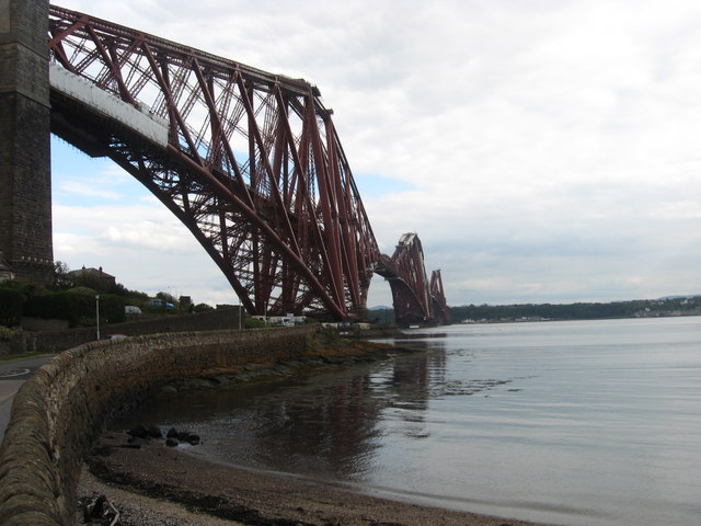
In addition to its natural beauty, Port Neuk boasts a rich history. The village has a number of historic buildings, including a 16th-century castle and a quaint lighthouse that stands proudly on the cliffs. The bay has been an important trading port since the Middle Ages and remnants of its maritime past can still be seen in the well-preserved harbor and old stone warehouses.
Overall, Port Neuk, West Lothian (Bay) is a hidden gem that offers visitors a peaceful retreat, stunning natural scenery, and a glimpse into Scotland's maritime history.
If you have any feedback on the listing, please let us know in the comments section below.
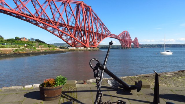
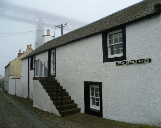
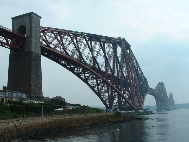
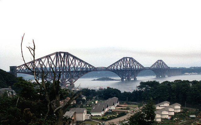
Port Neuk Images
Images are sourced within 2km of 55.991411/-3.3817211 or Grid Reference NT1378. Thanks to Geograph Open Source API. All images are credited.


Port Neuk is located at Grid Ref: NT1378 (Lat: 55.991411, Lng: -3.3817211)
Unitary Authority: City of Edinburgh
Police Authority: Edinburgh
What 3 Words
///sleepy.revealing.plans. Near Queensferry, Edinburgh
Nearby Locations
Related Wikis
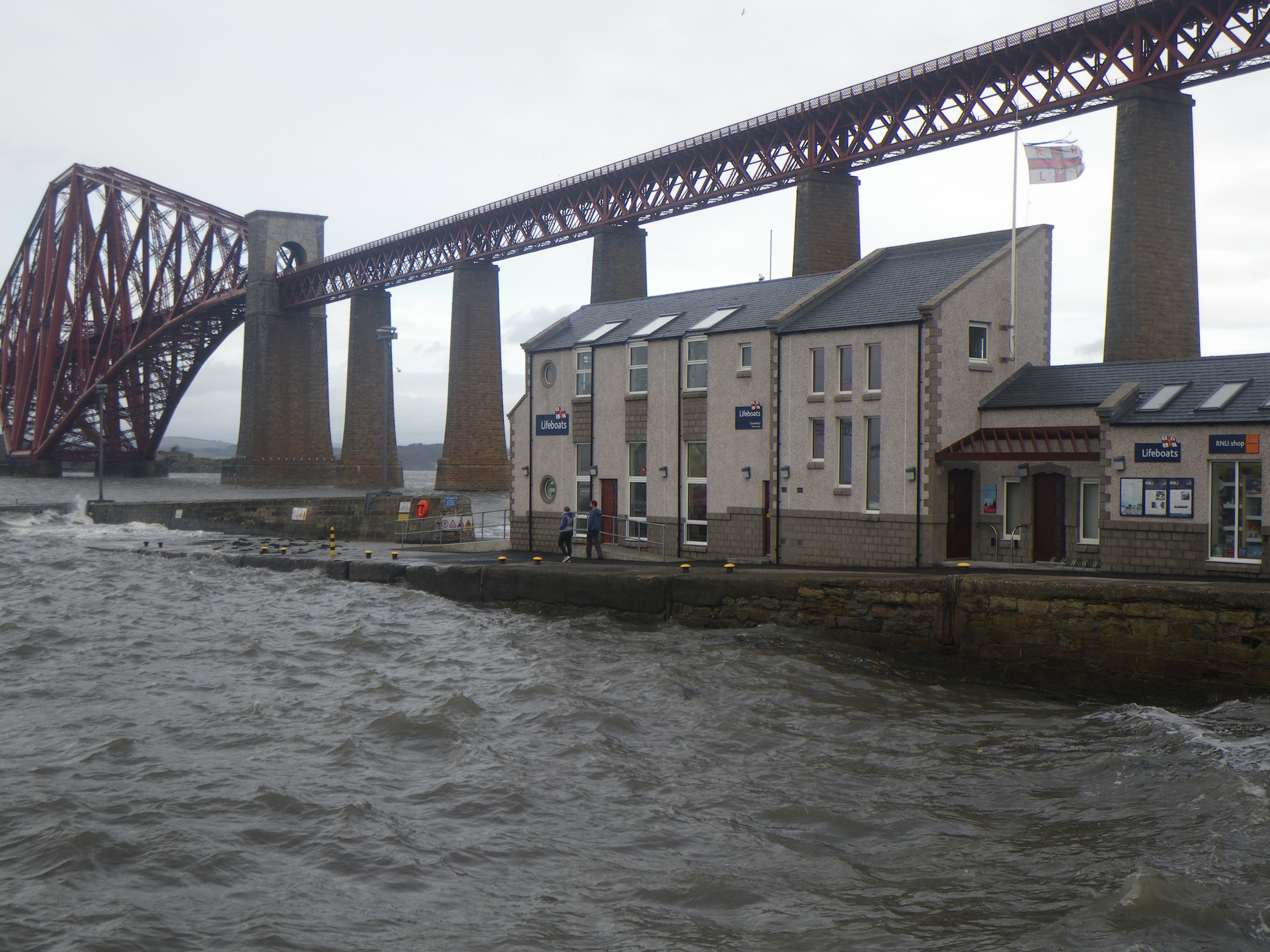
Queensferry Lifeboat Station
Queensferry Lifeboat Station is an RNLI station located in the town of South Queensferry within the boundary of the city of Edinburgh, Scotland in the...
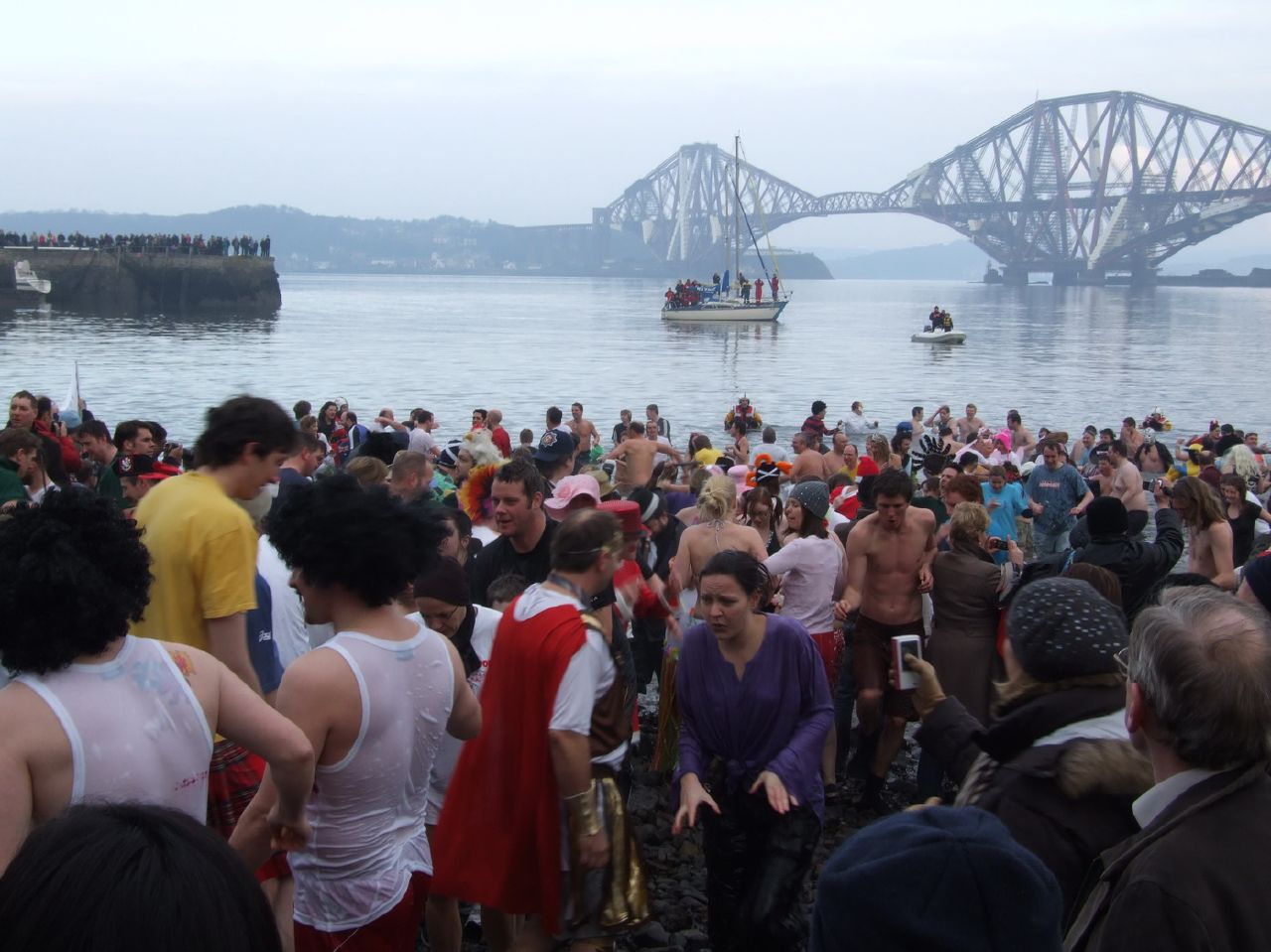
Loony Dook
The Loony Dook is an annual event held on New Year's Day in which people dive into the freezing waters of the Firth of Forth at South Queensferry (north...
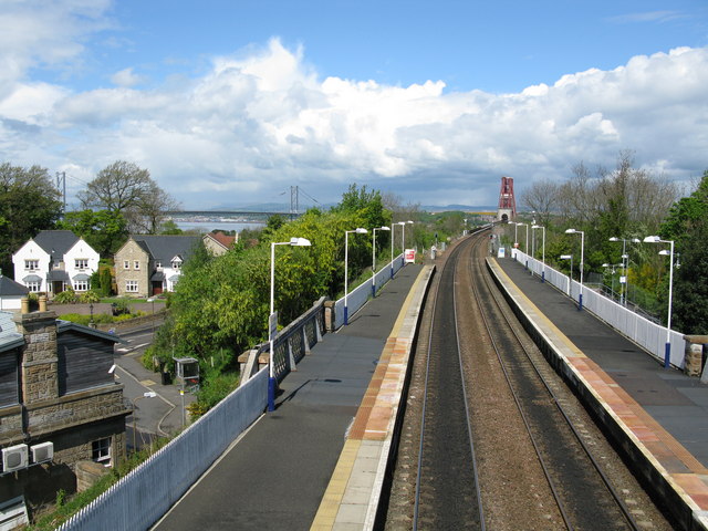
Dalmeny railway station
Dalmeny railway station is a railway station serving the towns of Dalmeny and South Queensferry, about 8 miles (13 km) west of Edinburgh city centre. It...
Queensferry High School
Queensferry High School (also known as Queensferry Community High School) is a six-year comprehensive school in the town of South Queensferry, Scotland...
Nearby Amenities
Located within 500m of 55.991411,-3.3817211Have you been to Port Neuk?
Leave your review of Port Neuk below (or comments, questions and feedback).