Porth yr Aber

Bay in Anglesey

Wales

Porth yr Aber

Ynys Dulas With its prominent tower, seen from the mainland of Anglesey near Bryn Fuches.
Ynys Dulas Credit: David Purchase

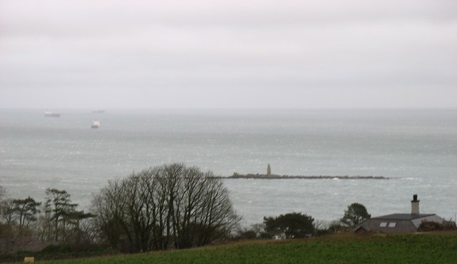
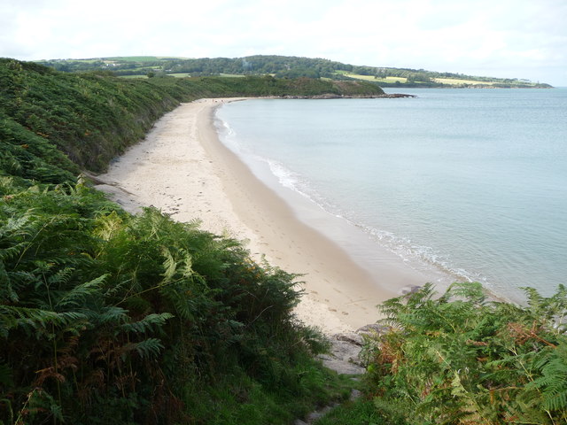
Porth yr Aber, also known as Aberffraw Bay, is a picturesque bay located on the west coast of Anglesey, an island off the northwest coast of Wales. This bay is known for its stunning natural beauty and is a popular destination for tourists and locals alike.

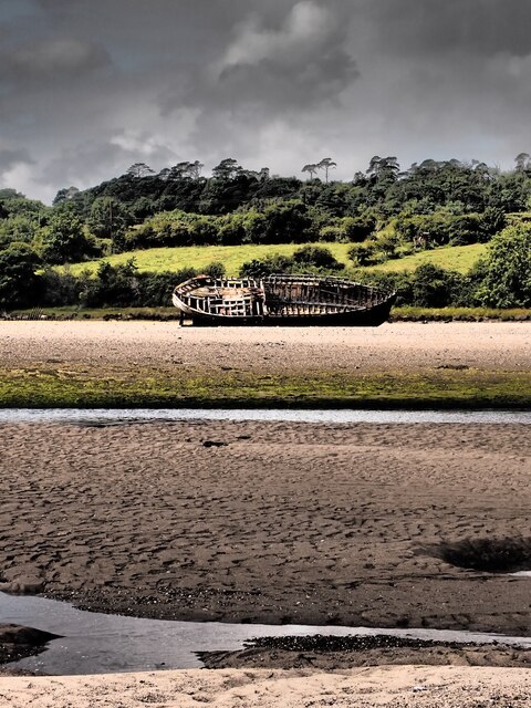
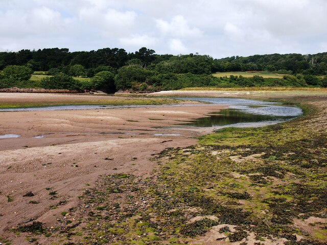
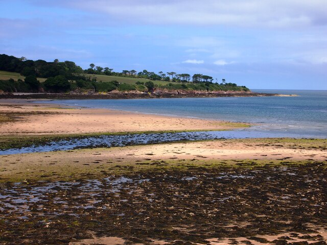
The bay is nestled between the charming village of Aberffraw and the estuary of the River Ffraw. It stretches for approximately 2 miles, offering visitors a wide sandy beach and clear blue waters. Porth yr Aber is also home to a diverse range of wildlife, including various bird species and marine life.

The beach at Porth yr Aber is an ideal spot for a relaxing day out or a leisurely stroll. The sand is soft and golden, making it perfect for sunbathing, picnicking, and building sandcastles. The bay is also a popular spot for water-based activities such as swimming, surfing, and kayaking.

Surrounded by rolling sand dunes and grassy cliffs, Porth yr Aber provides a peaceful and tranquil setting for nature lovers. The area is rich in flora and fauna, with wildflowers blooming in spring and summer. The bay is also a designated Area of Outstanding Natural Beauty, ensuring its conservation and protection.

Overall, Porth yr Aber is a gem on the coast of Anglesey, offering visitors a chance to immerse themselves in the beauty of nature and enjoy a range of leisure activities. Whether it's a family day out or a peaceful escape, this bay has something for everyone.

If you have any feedback on the listing, please let us know in the comments section below.

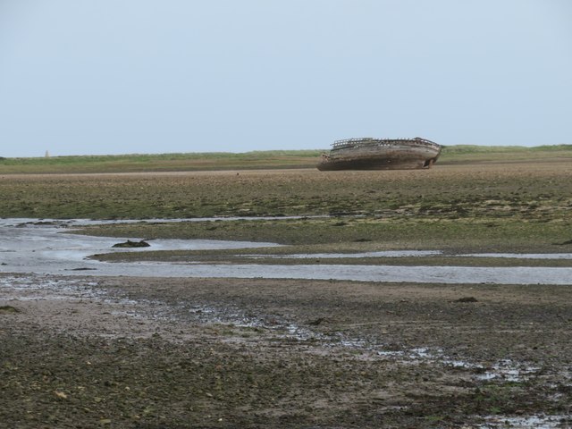
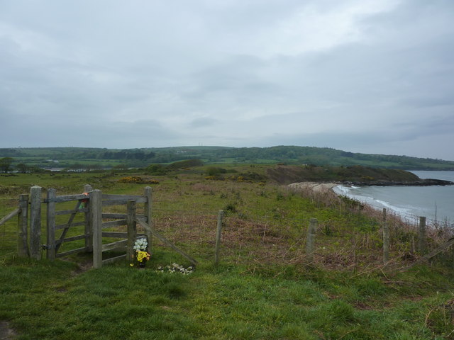
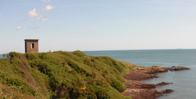
Porth yr Aber Images

Images are sourced within 2km of 53.388513/-4.2689741 or Grid Reference SH4990. Thanks to Geograph Open Source API. All images are credited.

Ynys Dulas With its prominent tower, seen from the mainland of Anglesey near Bryn Fuches.
Ynys Dulas
With its prominent tower, seen from the mainland of Anglesey near Bryn Fuches.
Ynys Dulas, Anglesey Taken from SH488882, this picture shows Ynys Dulas, an island in Dulas Bay, Anglesey. The tower on the island was built and stocked to provide food and shelter to shipwrecked mariners.
Ynys Dulas, Anglesey
Taken from SH488882, this picture shows Ynys Dulas, an island in Dulas Bay, Anglesey. The tower on the island was built and stocked to provide food and shelter to shipwrecked mariners.
The tower on Ynys Dulas, north east coast of Anglesey The north west side of Ynys Dulas can be approached in fairly deep water  (but keep an eye out for submerged rocks!). This visit was at low water on neap tides.
The tower on Ynys Dulas, north east coast of Anglesey
The north west side of Ynys Dulas can be approached in fairly deep water (but keep an eye out for submerged rocks!). This visit was at low water on neap tides.
Awaiting pilots in a choppy sea north of Ynys Dulas
Ynys Dulas from Point Lynas with Snowdonia in the background The tower on the reef was built on the orders of the wife of the owner of the Llys Dulas estate to provide refuge for shipwrecked mariners.
Ynys Dulas from Point Lynas with Snowdonia in the background
The tower on the reef was built on the orders of the wife of the owner of the Llys Dulas estate to provide refuge for shipwrecked mariners.
View of Ynys Dulas from coastal path, Dulas
Ynys Dulas from Traeth yr Ora If you squint a little it is almost Grecian. The tower was built in the 1920s by Lady Dorina Neave, a local aristo, to save shipwrecked seamen (by providing shelter, and food was also stocked there).
Ynys Dulas from Traeth yr Ora
If you squint a little it is almost Grecian. The tower was built in the 1920s by Lady Dorina Neave, a local aristo, to save shipwrecked seamen (by providing shelter, and food was also stocked there).
Dulas Tower
Dulas Tower
Ynys Dulas The tower was built to provide shelter and food for shipwrecked sailors
Ynys Dulas
The tower was built to provide shelter and food for shipwrecked sailors
Wreck, Traeth Dulas
Wreck, Traeth Dulas
Traeth Dulas
Traeth Dulas
Porto Bello
Porto Bello
Towards an old wreck on Traeth Dulas Looking across this estuary with its combination of sand and mud. A popular feeding ground for waders such as curlew and oystercatcher.
Towards an old wreck on Traeth Dulas
Looking across this estuary with its combination of sand and mud. A popular feeding ground for waders such as curlew and oystercatcher.
In memory A bunch of flowers left by a gate on the Isle of Anglesey Coastal Path,at Traeth yr Ora.
In memory
A bunch of flowers left by a gate on the Isle of Anglesey Coastal Path,at Traeth yr Ora.
Traeth yr Ora Sssshhh! Don't tell anyone!
Traeth yr Ora
Sssshhh! Don't tell anyone!
Lookout Tower
Lookout Tower
View to Traeth yr Ora A sandy inlet on the east coast of Anglesey
View to Traeth yr Ora
A sandy inlet on the east coast of Anglesey
Anglesey Coastal Path markers Straight ahead to the end of the headland south of Traeth Dulas
Anglesey Coastal Path markers
Straight ahead to the end of the headland south of Traeth Dulas
Show me another place!

Porth yr Aber is located at Grid Ref: SH4990 (Lat: 53.388513, Lng: -4.2689741)

Unitary Authority: Isle of Anglesey

Police Authority: North Wales

What 3 Words

///organic.removable.learning. Near Moelfre, Isle of Anglesey

Related Wikis

Old Church of St Gwenllwyfo, Llanwenllwyfo

The Old Church of St Gwenllwyfo, Llanwenllwyfo is a medieval ruined church near Dulas, in Anglesey, Wales, perhaps built in the 15th century to replace...
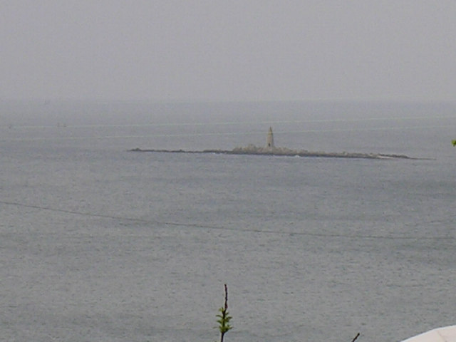
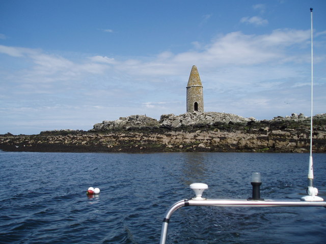
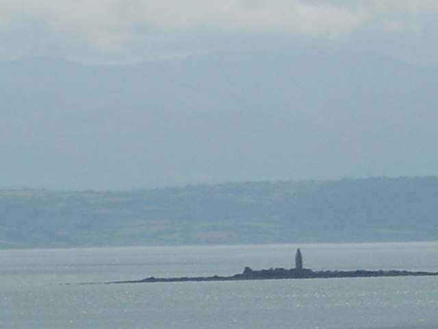
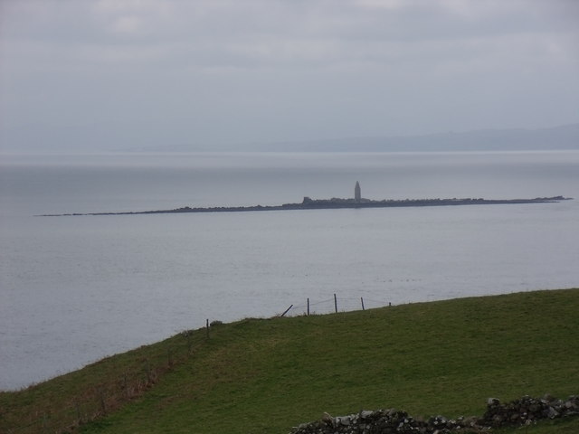
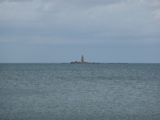
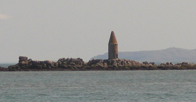
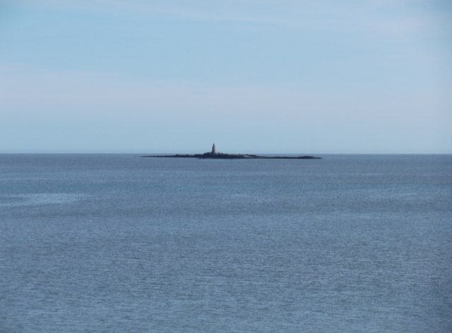
Ynys Dulas

Ynys Dulas (Welsh for 'Dulas Island') is a small island located off the north-east coast of Anglesey (Welsh: Ynys Môn), Wales. It marks the most eastern...

Dulas Bay

Dulas Bay (Welsh: Bae Dulas) is a small bay on the north east coast of Anglesey (Ynys Môn), north Wales, forming the boundary between Llaneilian and Moelfre...

St Gwenllwyfo's Church

St Gwenllwyfo's Church is a 19th-century parish church near the village of Dulas, in Anglesey, Wales. It was built between 1854 and 1856 to replace an...

Nearby Amenities

Located within 500m of 53.388513,-4.2689741
Porth Helygen
Natural: bay
Lat/Long: 53.3928481/-4.2670335
Porth yr Aber
Natural: bay
Lat/Long: 53.3885485/-4.2670335
Barrier: kissing_gate
Lat/Long: 53.3919208/-4.2718563
Barrier: kissing_gate
Lat/Long: 53.3891749/-4.2705594
Barrier: kissing_gate
Lat/Long: 53.3884029/-4.2747662
The data included in this document is from www.openstreetmap.org. The data is made available under ODbL.

Have you been to Porth yr Aber?

Leave your review of Porth yr Aber below (or comments, questions and feedback).