Porth Helygen
Bay in Anglesey
Wales
Porth Helygen
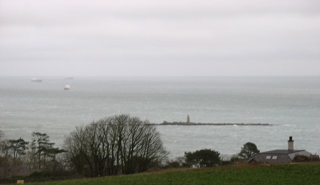
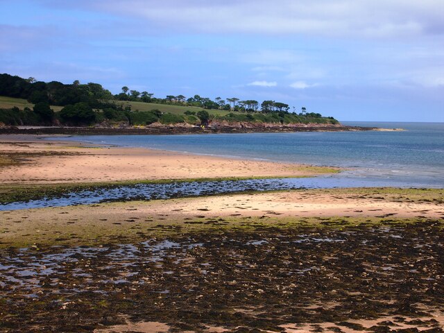
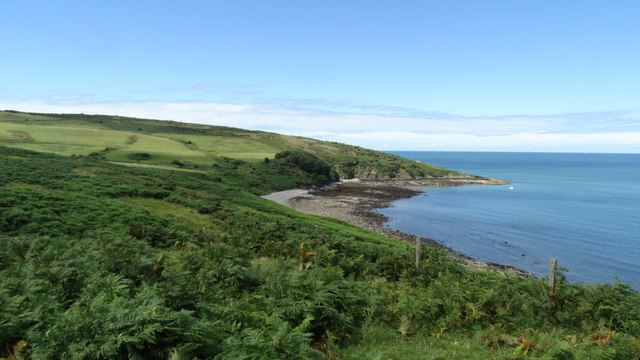
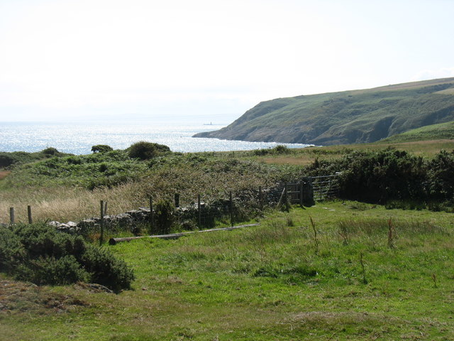
Porth Helygen, also known as Willow Bay, is a picturesque bay located on the Isle of Anglesey in North Wales. It is situated on the western coast of the island, approximately 5 miles southwest of Holyhead. The bay is nestled between two headlands and offers breathtaking views of the Irish Sea.
Porth Helygen is a popular destination for both locals and tourists due to its stunning natural beauty and tranquil atmosphere. The bay is characterized by its golden sandy beach, which stretches for approximately 1.5 miles at low tide, providing ample space for visitors to relax, sunbathe, and enjoy a picnic. The clear blue waters of the bay are also perfect for swimming and other water activities.
Surrounded by lush greenery and rolling hills, Porth Helygen offers numerous walking trails and coastal paths that allow visitors to explore the surrounding countryside. The bay is particularly known for its diverse wildlife, including a wide variety of seabirds, seals, and even dolphins, which can often be spotted playing in the water.
Not far from the bay, there is a car park and a small café, providing essential amenities for visitors. Porth Helygen is also easily accessible, with good road connections and public transportation options available.
Overall, Porth Helygen is a hidden gem on the Isle of Anglesey, offering a peaceful and idyllic coastal experience for those seeking natural beauty and a relaxing escape from the bustle of everyday life.
If you have any feedback on the listing, please let us know in the comments section below.
Porth Helygen Images
Images are sourced within 2km of 53.392958/-4.269707 or Grid Reference SH4990. Thanks to Geograph Open Source API. All images are credited.


Porth Helygen is located at Grid Ref: SH4990 (Lat: 53.392958, Lng: -4.269707)
Unitary Authority: Isle of Anglesey
Police Authority: North Wales
What 3 Words
///lunch.dare.replaying. Near Moelfre, Isle of Anglesey
Nearby Locations
Related Wikis

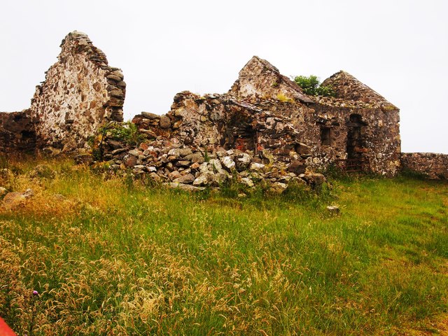
Old Church of St Gwenllwyfo, Llanwenllwyfo
The Old Church of St Gwenllwyfo, Llanwenllwyfo is a medieval ruined church near Dulas, in Anglesey, Wales, perhaps built in the 15th century to replace...

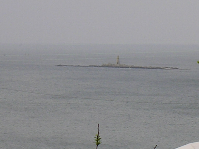
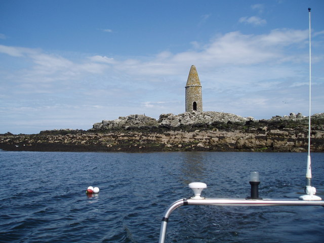
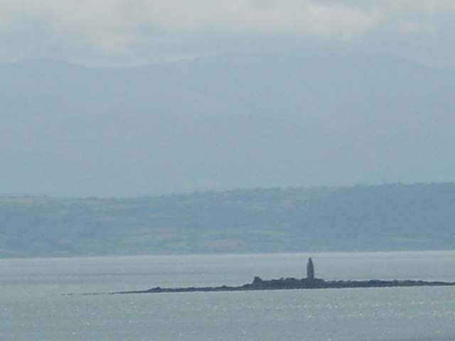
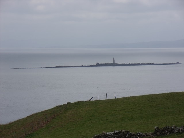
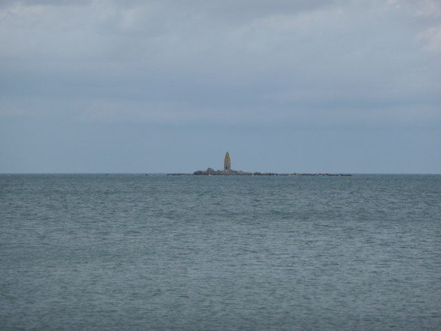
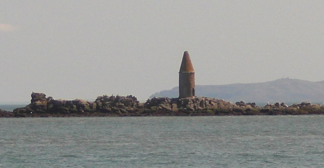
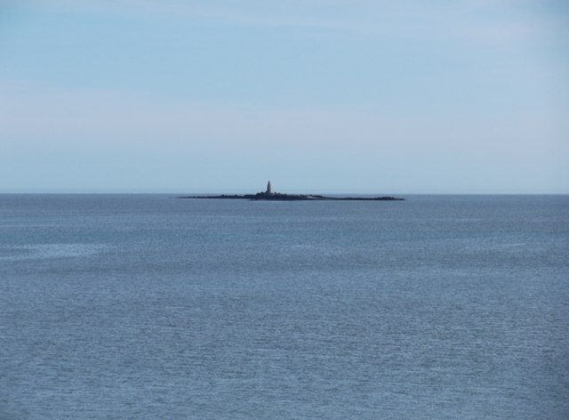
Ynys Dulas
Ynys Dulas (Welsh for 'Dulas Island') is a small island located off the north-east coast of Anglesey (Welsh: Ynys Môn), Wales. It marks the most eastern...

Dulas Bay
Dulas Bay (Welsh: Bae Dulas) is a small bay on the north east coast of Anglesey (Ynys Môn), north Wales, forming the boundary between Llaneilian and Moelfre...

St Gwenllwyfo's Church
St Gwenllwyfo's Church is a 19th-century parish church near the village of Dulas, in Anglesey, Wales. It was built between 1854 and 1856 to replace an...
Nearby Amenities
Located within 500m of 53.392958,-4.269707Have you been to Porth Helygen?
Leave your review of Porth Helygen below (or comments, questions and feedback).