Porth Bryn Twni

Bay in Anglesey

Wales

Porth Bryn Twni

Porth Melin Ifan Owen Sand dunes and sand on the southern edge of Newborough Warren and Ynys Llanddwyn National Nature Reserve.
Porth Melin Ifan Owen Credit: Rebecca A Wills

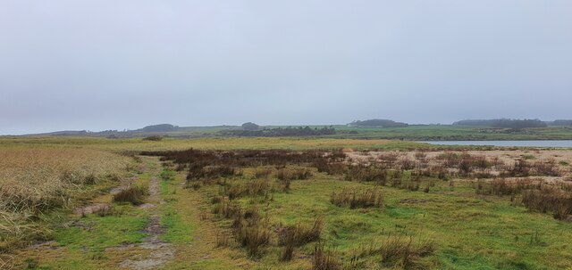
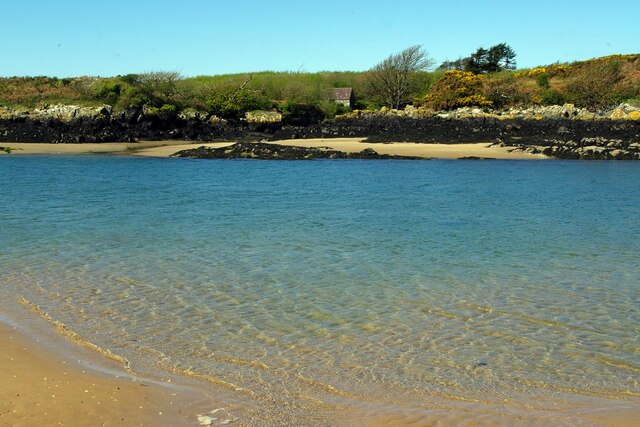
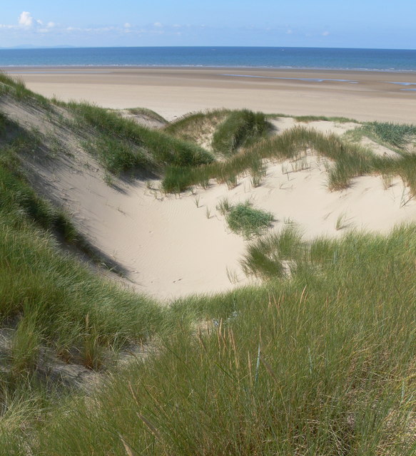
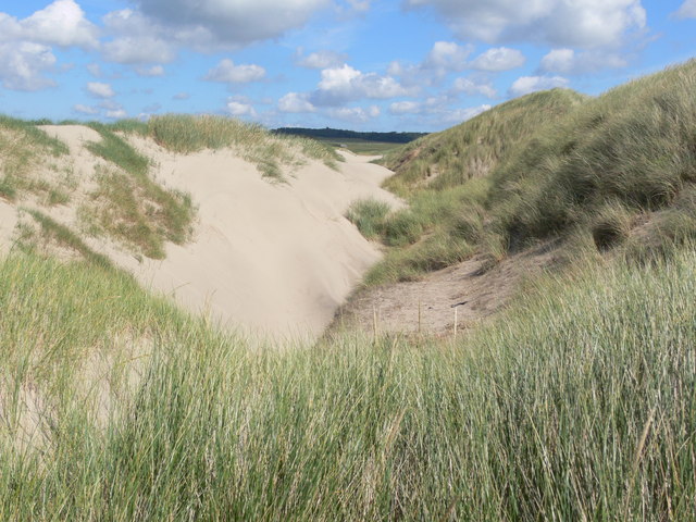
Porth Bryn Twni, also known as Cable Bay, is a picturesque beach located on the west coast of Anglesey in Wales. This sandy beach is situated between Rhosneigr and Aberffraw, offering stunning views of the Irish Sea and the surrounding countryside.

Porth Bryn Twni is popular among surfers, windsurfers, and kite surfers due to its consistent waves and strong winds. The beach is known for its reliable surf conditions, making it a favorite spot for water sports enthusiasts of all levels.

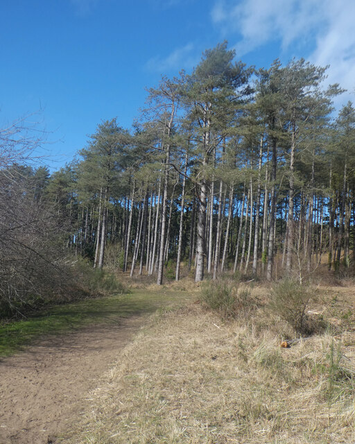
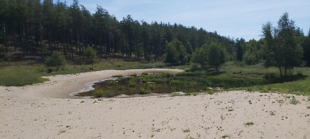
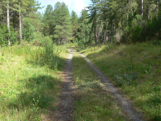
The beach is surrounded by sand dunes and grassy cliffs, providing a beautiful backdrop for picnics and leisurely walks. The area is also home to a variety of wildlife, including seabirds and seals, making it a great spot for birdwatching and nature enthusiasts.

Visitors to Porth Bryn Twni can enjoy a range of activities, including swimming, sunbathing, and beachcombing. The beach is easily accessible by car, with parking available nearby. Facilities such as toilets and cafes are also available in the area, making it a convenient and enjoyable destination for visitors of all ages.

If you have any feedback on the listing, please let us know in the comments section below.

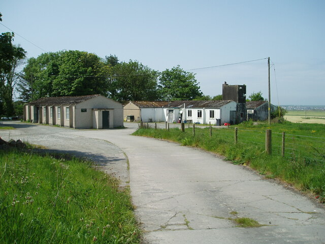
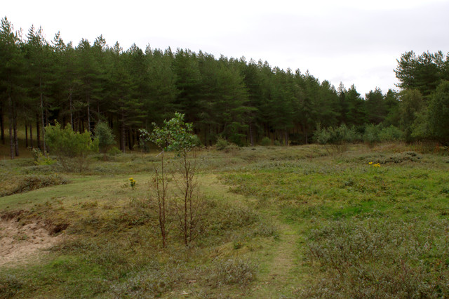
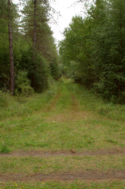
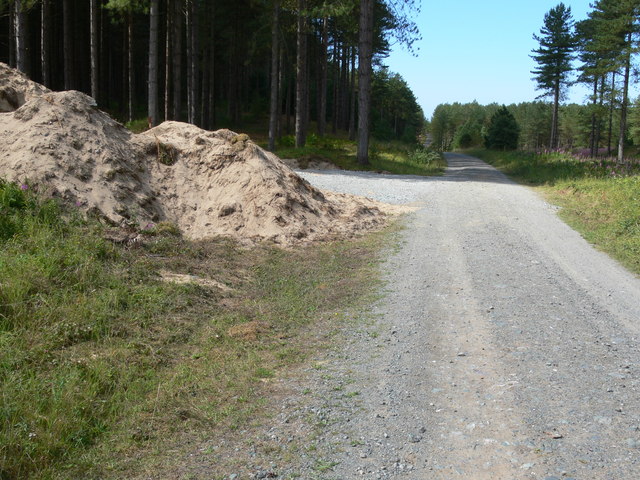
Porth Bryn Twni Images

Images are sourced within 2km of 53.167892/-4.4203685 or Grid Reference SH3866. Thanks to Geograph Open Source API. All images are credited.

Porth Melin Ifan Owen Sand dunes and sand on the southern edge of Newborough Warren and Ynys Llanddwyn National Nature Reserve.
Porth Melin Ifan Owen
Sand dunes and sand on the southern edge of Newborough Warren and Ynys Llanddwyn National Nature Reserve.
Malltraeth Sands Looking from the sand dunes of Malltraeth Sands towards Newborough Forest.
Malltraeth Sands
Looking from the sand dunes of Malltraeth Sands towards Newborough Forest.
Coedwig Niwbwrch / Newborough Forest (2)
Porth Melin Ifan Owen
The edge of Newborough Forest at Cefni Saltmarsh
Forest meets dunes - sandy paths in Newborough Forest
Wales Coast Path in Newborough Forest
Fast drying pond in Newborough Forest Photo taken during the driest period experienced in the UK since 1976
Fast drying pond in Newborough Forest
Photo taken during the driest period experienced in the UK since 1976
Former Military Buildings Associated With RAF Bodorgan
Newborough Forest
Newborough Forest
Track Junction
Track Junction
Forest Track
Forest Track
Track through Newborough Forest
Tracks through Newborough Forest The path on the right leads to Traeth Penrhos, left leads to Llanddwyn Island.
Tracks through Newborough Forest
The path on the right leads to Traeth Penrhos, left leads to Llanddwyn Island.
Path back to Newborough Forest Crossing the dunes at Traeth Penrhos.
Path back to Newborough Forest
Crossing the dunes at Traeth Penrhos.
Sand dunes at Traeth Penrhos
Show me another place!

Porth Bryn Twni is located at Grid Ref: SH3866 (Lat: 53.167892, Lng: -4.4203685)

Unitary Authority: Isle of Anglesey

Police Authority: North Wales

What 3 Words

///paintings.targeted.shadowed. Near Rhosneigr, Isle of Anglesey

Related Wikis

Bodorgan

Bodorgan is a village and community on the Isle of Anglesey, Wales, United Kingdom. According to the 2001 Census, there were 1,503 residents in the now...

RAF Bodorgan

Royal Air Force Bodorgan, or more simply RAF Bodorgan, is a former Royal Air Force satellite airfield located near to Bodorgan Hall on the Isle of Anglesey...

Afon Cefni

Afon Cefni is one of the major rivers on the island of Anglesey, Wales. It is 16.9 kilometres (11 mi) long. Its source is near to the village of Capel...

Hermon, Anglesey

Hermon is a village in Anglesey, in north-west Wales. It is located roughly halfway between Newborough and Aberffraw, some 6 miles south-west of Llangefni...

Nearby Amenities

Located within 500m of 53.167892,-4.4203685
Source: PGS
Lat/Long: 53.1651136/-4.4261364
Source: PGS
Lat/Long: 53.1654405/-4.4259132
Source: PGS
Lat/Long: 53.1657654/-4.4252747
Source: PGS
Lat/Long: 53.1664459/-4.4237037
Source: PGS
Lat/Long: 53.1672027/-4.4232852
Source: PGS
Lat/Long: 53.1671474/-4.4229326
Source: PGS
Lat/Long: 53.167446/-4.4224013
Source: PGS
Lat/Long: 53.1677199/-4.421889
Source: PGS
Lat/Long: 53.167937/-4.4216111
Source: PGS
Lat/Long: 53.1684938/-4.4211962
Source: PGS
Lat/Long: 53.1683881/-4.4206431
Source: PGS
Lat/Long: 53.1685994/-4.4184654
Source: PGS
Lat/Long: 53.1692193/-4.4171318
Source: PGS
Lat/Long: 53.1695902/-4.4167341
Source: PGS
Lat/Long: 53.1695376/-4.4166605
Source: PGS
Lat/Long: 53.1702212/-4.4155183
Source: PGS
Lat/Long: 53.1706004/-4.4145572
The data included in this document is from www.openstreetmap.org. The data is made available under ODbL.

Have you been to Porth Bryn Twni?

Leave your review of Porth Bryn Twni below (or comments, questions and feedback).