Porth Melin Ifan Owen
Bay in Anglesey
Wales
Porth Melin Ifan Owen
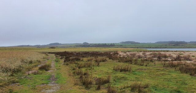
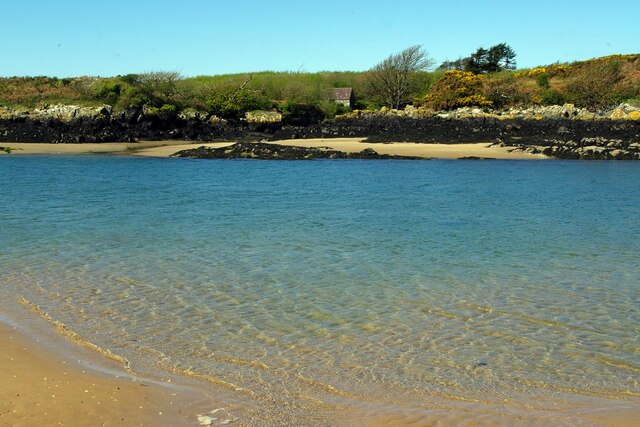
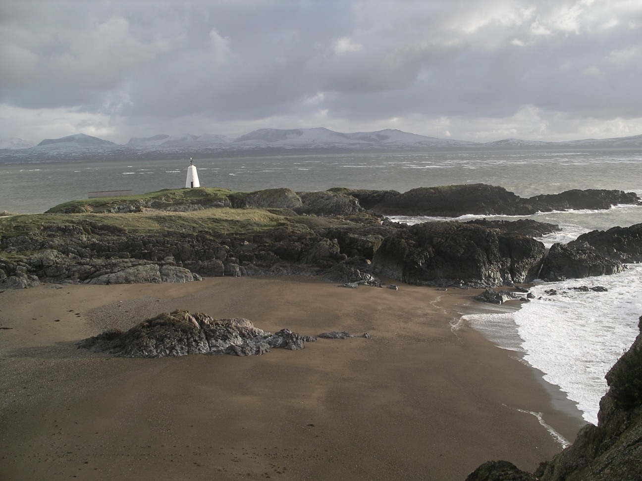
Porth Melin Ifan Owen, also known as Owen's Mill Bay, is a picturesque coastal area located on the northern coast of the beautiful Isle of Anglesey in North Wales. This bay is renowned for its stunning natural beauty and is a popular destination for both locals and tourists alike.
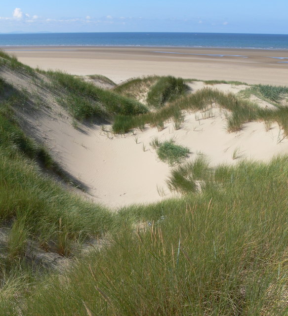
The bay is characterized by its pristine sandy beach, which stretches for approximately half a mile, offering visitors ample space to relax, sunbathe, and enjoy the stunning views of the Irish Sea. The crystal-clear waters of the bay are perfect for swimming, paddling, and other water activities.
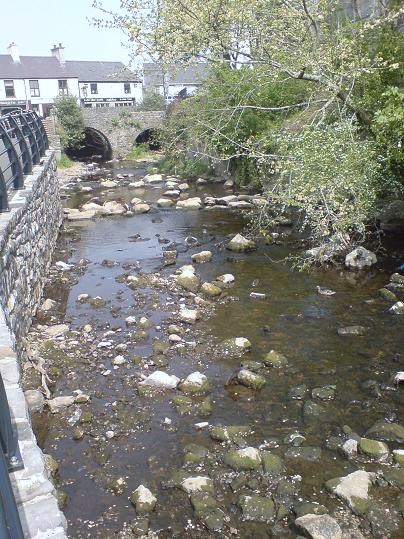
Porth Melin Ifan Owen is also home to a historic mill, which dates back to the 19th century. This mill, named after its previous owner, Ifan Owen, was once used for grinding corn and producing flour. Although the mill is no longer operational, it serves as a fascinating reminder of the area's industrial heritage.
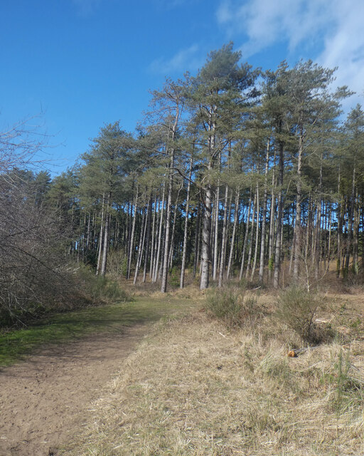
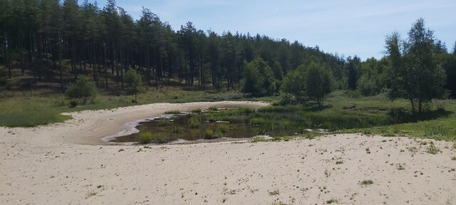
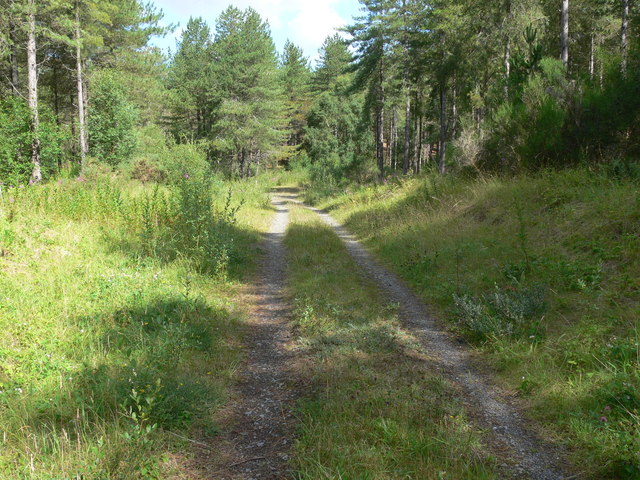
Nature enthusiasts will be delighted by the abundance of wildlife and natural wonders that can be found in and around the bay. The surrounding cliffs and dunes provide a habitat for a variety of bird species, making it a haven for birdwatchers. Visitors may spot seabirds such as puffins, guillemots, and cormorants.
Porth Melin Ifan Owen is a tranquil and idyllic spot, perfect for those seeking a peaceful escape from the hustle and bustle of everyday life. With its stunning scenery, rich history, and diverse wildlife, this bay offers something for everyone to enjoy.
If you have any feedback on the listing, please let us know in the comments section below.
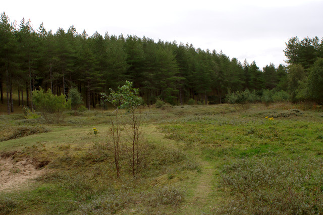
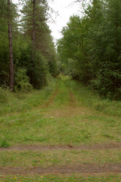
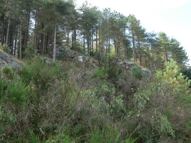
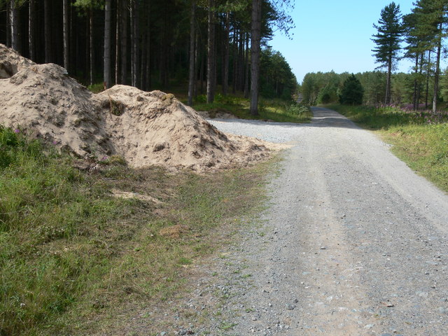
Porth Melin Ifan Owen Images
Images are sourced within 2km of 53.165077/-4.4226337 or Grid Reference SH3865. Thanks to Geograph Open Source API. All images are credited.


Porth Melin Ifan Owen is located at Grid Ref: SH3865 (Lat: 53.165077, Lng: -4.4226337)
Unitary Authority: Isle of Anglesey
Police Authority: North Wales
What 3 Words
///fairy.argued.novels. Near Rhosneigr, Isle of Anglesey
Nearby Locations
Related Wikis

Bodorgan
Bodorgan is a village and community on the Isle of Anglesey, Wales, United Kingdom. According to the 2001 Census, there were 1,503 residents in the now...

RAF Bodorgan
Royal Air Force Bodorgan, or more simply RAF Bodorgan, is a former Royal Air Force satellite airfield located near to Bodorgan Hall on the Isle of Anglesey...
Afon Cefni
Afon Cefni is one of the major rivers on the island of Anglesey, Wales. It is 16.9 kilometres (11 mi) long. Its source is near to the village of Capel...
Ynys Llanddwyn
Ynys Llanddwyn (also known as Llanddwyn Island) is a small tidal island off the west coast of Anglesey (Welsh: Ynys Môn), northwest Wales. The nearest...
Newborough Forest
Newborough Forest (Welsh: Coedwig Niwbwrch) is a forest to the west of Newborough, Anglesey, North Wales. It is one of the most important red squirrel...

Hermon, Anglesey
Hermon is a village in Anglesey, in north-west Wales. It is located roughly halfway between Newborough and Aberffraw, some 6 miles south-west of Llangefni...

Llangadwaladr
Llangadwaladr () is a small village in south-west Anglesey, Wales, located around 2 miles east of Aberffraw and 3 miles south of Gwalchmai. It is part...
St Cadwaladr's Church, Llangadwaladr
St Cadwaladr's Church (Welsh: Eglwys Ael) is a Grade I listed church in Llangadwaladr, Anglesey. The location of the current church was established in...
Nearby Amenities
Located within 500m of 53.165077,-4.4226337Have you been to Porth Melin Ifan Owen?
Leave your review of Porth Melin Ifan Owen below (or comments, questions and feedback).