Bate Heath

Settlement in Cheshire

England

Bate Heath

Roadside cottage, Pickmere Situated on the B5391, Pickmere Lane. The west elevation faces Hall Lane. Note the ornate ground floor window.
Roadside cottage, Pickmere Credit: michael ely

Bate Heath is a small village located in the county of Cheshire, England. Situated in the North West of the country, it is part of the rural district of Cheshire West and Chester. The village is surrounded by picturesque countryside, offering residents and visitors a tranquil and scenic environment.

Bate Heath is characterized by its charming and idyllic atmosphere. The village is home to a close-knit community, fostering a friendly and welcoming environment for residents and visitors alike. Its small size contributes to a strong sense of community, where neighbors often know each other by name and locals take pride in their village.

The village itself features a few local amenities, including a small convenience store, a pub, and a church. These facilities serve as essential gathering points for residents, providing opportunities for social interaction and community events.

One of the key attractions of Bate Heath is its proximity to the surrounding countryside. The village is surrounded by rolling hills, meadows, and farmland, offering ample opportunities for outdoor activities such as walking, hiking, and cycling. The picturesque landscapes provide a serene escape from the hustle and bustle of city life.

Overall, Bate Heath is a charming and peaceful village in Cheshire, offering residents and visitors the chance to experience the beauty of rural England while enjoying a close-knit community spirit.

If you have any feedback on the listing, please let us know in the comments section below.
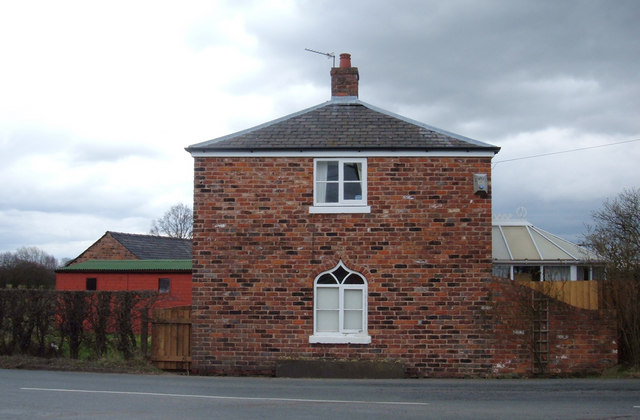
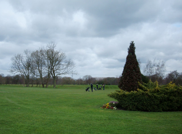
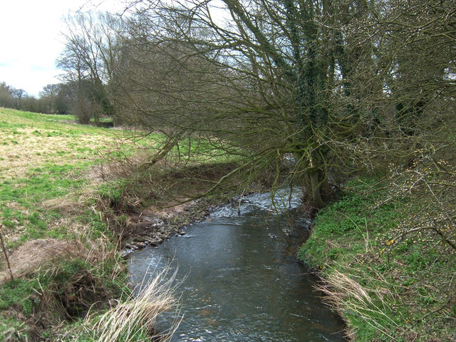
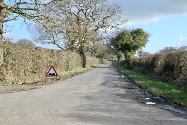
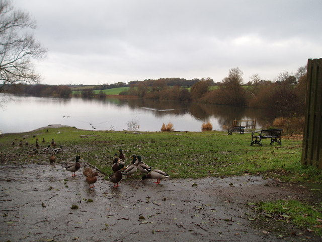
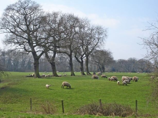
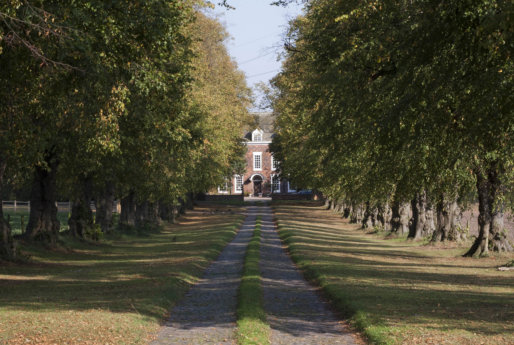
Bate Heath Images

Images are sourced within 2km of 53.308432/-2.472566 or Grid Reference SJ6879. Thanks to Geograph Open Source API. All images are credited.

Roadside cottage, Pickmere Situated on the B5391, Pickmere Lane. The west elevation faces Hall Lane. Note the ornate ground floor window.
Roadside cottage, Pickmere
Situated on the B5391, Pickmere Lane. The west elevation faces Hall Lane. Note the ornate ground floor window.
Heyrose Golf Club, Tabley View NW into this 18-hole course.
Heyrose Golf Club, Tabley
View NW into this 18-hole course.
Arley Brook View SE from the bridge on the lane to Great Budworth.
Arley Brook
View SE from the bridge on the lane to Great Budworth.
Around Arley (5) Equine gathering, Arley Estate
Around Arley (5)
Equine gathering, Arley Estate
School Lane
School Lane
Woodland Glade in The Grove at Arley Hall
Arley Green
Arley Green
Pick Mere, looking west A popular place in the summer, (and to think there used to be a small fair ground here and you could hire jetskis!!).
Pick Mere, looking west
A popular place in the summer, (and to think there used to be a small fair ground here and you could hire jetskis!!).
"Pickmere Rough" A small wood midway along Park Lane (Looking East)
"Pickmere Rough"
A small wood midway along Park Lane (Looking East)
View from Pickmere Rough looking south The western end of Pick Mere can just be seen (centre)
View from Pickmere Rough looking south
The western end of Pick Mere can just be seen (centre)
Cottages at Litley Farm By one of the entrances to Arley Hall, near the M6
Cottages at Litley Farm
By one of the entrances to Arley Hall, near the M6
Froglane Farm near Pickmere View north from Frog Lane.
Froglane Farm near Pickmere
View north from Frog Lane.
Lane junction at Lower Feldy Green View looking west along Budworth Road. The lane on the right is a dead end and leads to Feldy and Gore Farm. The road sign indicates the way to Arley House and Gardens.
Lane junction at Lower Feldy Green
View looking west along Budworth Road. The lane on the right is a dead end and leads to Feldy and Gore Farm. The road sign indicates the way to Arley House and Gardens.
The Pinfold, Bate Heath Situated at the junction of Budworth Road and Cann Lane. This stone structure is an 18th-century enclosure used as a pound to secure livestock.
The Pinfold, Bate Heath
Situated at the junction of Budworth Road and Cann Lane. This stone structure is an 18th-century enclosure used as a pound to secure livestock.
Entrance to what used to be Kays Farm Farmer Kay may have moved on. These rather grand gate posts carry two signs: left hand to Lavender House, right hand to Oakwood Manor. The 1940s and current OS maps still refer to Kays Farm.
Entrance to what used to be Kays Farm
Farmer Kay may have moved on. These rather grand gate posts carry two signs: left hand to Lavender House, right hand to Oakwood Manor. The 1940s and current OS maps still refer to Kays Farm.
Entrance to Arley Park This is the southern end of the park, and the entrance is "private". The track leads through Big Wood to Arley Hall.
Entrance to Arley Park
This is the southern end of the park, and the entrance is "private". The track leads through Big Wood to Arley Hall.
George's Lane Farm, Moss End
Sheep and lambs near Litley Farm Sheep and lambs near Litley Farm, Aston by Budworth - seen from Cann Lane.
Sheep and lambs near Litley Farm
Sheep and lambs near Litley Farm, Aston by Budworth - seen from Cann Lane.
Show me another place!

Bate Heath is located at Grid Ref: SJ6879 (Lat: 53.308432, Lng: -2.472566)

Unitary Authority: Cheshire East

Police Authority: Cheshire

What 3 Words

///narrates.limitless.sleepers. Near High Legh, Cheshire

Related Wikis

Arley Green

Arley Green is a hamlet in Cheshire, England, within the parish of Aston By Budworth. The buildings originally formed Cowhouse Farm. Rowland Egerton-Warburton...

Aston by Budworth

Aston by Budworth is a civil parish in the unitary authority of Cheshire East and the ceremonial county of Cheshire, England. The main villages in the...

Aston Park, Cheshire

Aston Park is a Queen Anne country house in the parish of Aston by Budworth, Cheshire, England, built in 1715. The first mention of a building on the site...

Arley Hall

Arley Hall is a country house in the village of Arley, Cheshire, England, about 4 miles (6 km) south of Lymm and 5 miles (8 km) north of Northwich. It...

St Mary's Chapel, Arley

St Mary's Chapel is the private chapel to Arley Hall, near the village of Arley, Cheshire, England. It is recorded in the National Heritage List for England...

Arley, Cheshire

Arley is a small village in the civil parish of Aston by Budworth, Cheshire, England, adjacent to Arley Hall. 0.7 miles (1.1 km) to the east is a small...

Pickmere

Pickmere is a village and civil parish near Knutsford in the Borough of Cheshire East. It has a population of 541 (2001 Census). Landmarks in and around...

Methodist Church, Great Budworth

The Methodist Church, Great Budworth, is a former Wesleyan Methodist Church in the village of Great Budworth, Cheshire, England. The church is recorded...

Nearby Amenities

Located within 500m of 53.308432,-2.472566
Post Box
Ref: CW9 86
Lat/Long: 53.3091357/-2.4726972
The data included in this document is from www.openstreetmap.org. The data is made available under ODbL.

Have you been to Bate Heath?

Leave your review of Bate Heath below (or comments, questions and feedback).