Porth Cerig-cochion

Bay in Anglesey

Wales

Porth Cerig-cochion

Porth Melin Ifan Owen
Porth Melin Ifan Owen Credit: Alistair Hare

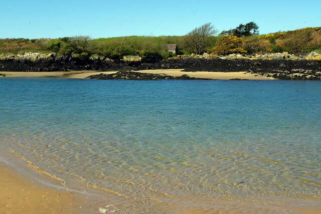
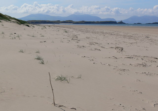
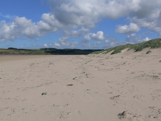
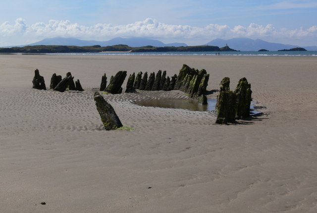
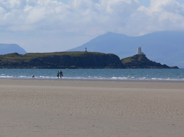
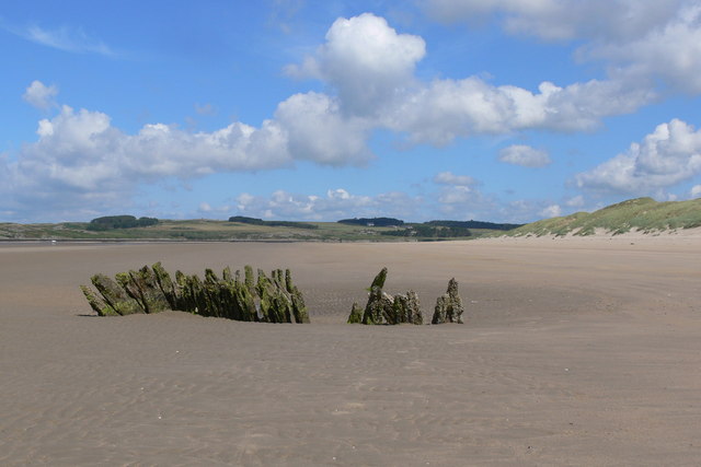
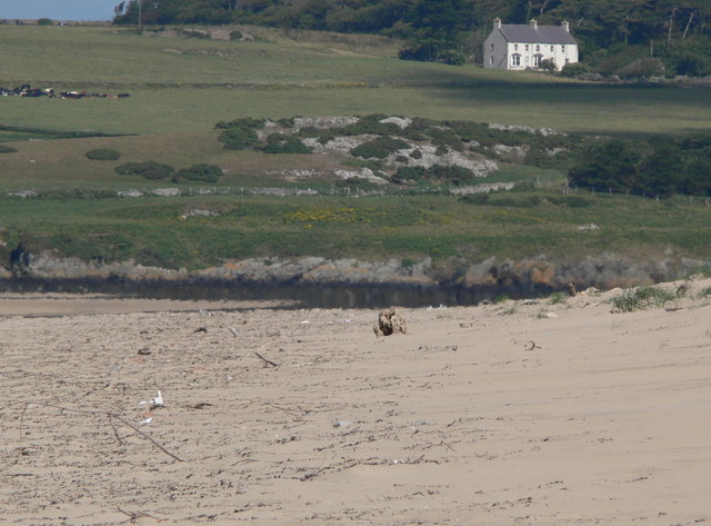
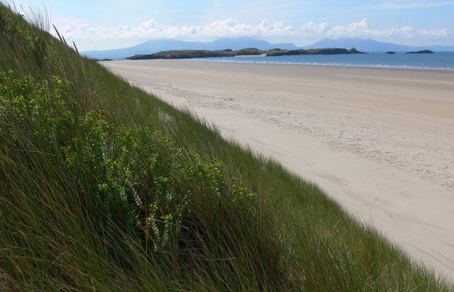
Porth Cerig-cochion, also known as Red Wharf Bay, is a stunning natural bay located on the eastern coast of Anglesey, an island in northwest Wales. It is known for its scenic beauty, diverse wildlife, and sandy beach, making it a popular destination for tourists and locals alike.

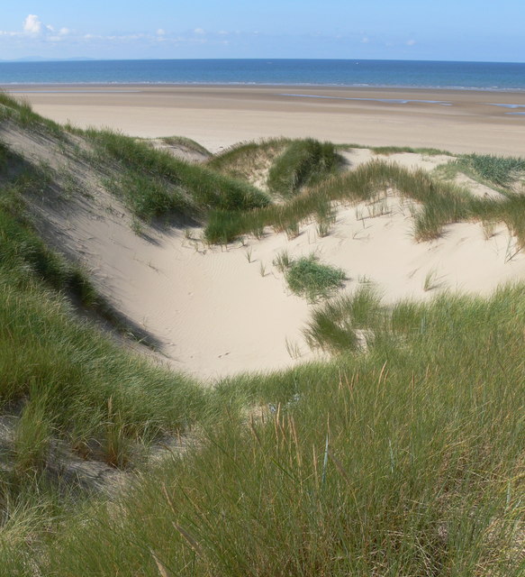
The bay stretches for approximately 4.5 miles (7 kilometers) and is surrounded by rolling hills and tranquil countryside, providing a picturesque backdrop. The sandy beach is extensive and offers ample space for sunbathing, picnicking, and recreational activities such as beach volleyball and kite flying. At low tide, the bay reveals vast mudflats, which are home to a variety of bird species including oystercatchers, curlews, and herons, making it a haven for birdwatchers.

The bay is also a popular spot for water-based activities such as sailing, kayaking, and windsurfing. Its shallow waters and gentle waves make it suitable for beginners, while more experienced water sports enthusiasts can take advantage of the bay's open waters.

There are several amenities and facilities available in the area, including parking, public toilets, and nearby cafes and restaurants that offer a range of refreshments and local cuisine. Additionally, there are several walking trails and footpaths that offer stunning views of the bay and its surroundings, allowing visitors to explore the area on foot.

Overall, Porth Cerig-cochion, Anglesey, is a beautiful and diverse bay that offers something for everyone, whether it's relaxing on the beach, exploring the wildlife, or engaging in water sports.

If you have any feedback on the listing, please let us know in the comments section below.

Porth Cerig-cochion Images

Images are sourced within 2km of 53.156829/-4.4390422 or Grid Reference SH3764. Thanks to Geograph Open Source API. All images are credited.

Porth Melin Ifan Owen
Forest meets dunes - sandy paths in Newborough Forest
Traeth Penrhos - Malltreath Bay
Malltraeth Bay at sunset
Forest Track
Forest Track
Tracks through Newborough Forest The path on the right leads to Traeth Penrhos, left leads to Llanddwyn Island.
Tracks through Newborough Forest
The path on the right leads to Traeth Penrhos, left leads to Llanddwyn Island.
Path back to Newborough Forest Crossing the dunes at Traeth Penrhos.
Path back to Newborough Forest
Crossing the dunes at Traeth Penrhos.
Sand dunes at Traeth Penrhos
Gap in the dunes Looking towards Traeth Penrhos and Malltraeth Bay.
Gap in the dunes
Looking towards Traeth Penrhos and Malltraeth Bay.
Wind sculptured sand dune
View south along Traeth Penrhos In the distance is Llanddwyn Island, with the mountains of the Lleyn Peninsula beyond.
View south along Traeth Penrhos
In the distance is Llanddwyn Island, with the mountains of the Lleyn Peninsula beyond.
View north along Traeth Penrhos
Shipwreck on Traeth Penrhos In the distance is Llanddwyn Island, with the mountains of the Lleyn Peninsula beyond.
Shipwreck on Traeth Penrhos
In the distance is Llanddwyn Island, with the mountains of the Lleyn Peninsula beyond.
Dog walkers on Traeth Penrhos Looking towards the cross and the lighthouse of Llanddwyn Island, the mountains of the Lleyn Peninsula are beyond.
Dog walkers on Traeth Penrhos
Looking towards the cross and the lighthouse of Llanddwyn Island, the mountains of the Lleyn Peninsula are beyond.
Shipwreck on Traeth Penrhos
View north along Traeth Penrhos The house is across the Afon Cefni and the Malltraeth Sands at Bodowen.
View north along Traeth Penrhos
The house is across the Afon Cefni and the Malltraeth Sands at Bodowen.
Sand dune at Traeth Penrhos In the distance is Llanddwyn Island, with the mountains of the Lleyn Peninsula beyond.
Sand dune at Traeth Penrhos
In the distance is Llanddwyn Island, with the mountains of the Lleyn Peninsula beyond.
Show me another place!

Porth Cerig-cochion is located at Grid Ref: SH3764 (Lat: 53.156829, Lng: -4.4390422)

Unitary Authority: Isle of Anglesey

Police Authority: North Wales

What 3 Words

///crackled.pronouns.saturate. Near Rhosneigr, Isle of Anglesey

Related Wikis

Ynys Llanddwyn

Ynys Llanddwyn (also known as Llanddwyn Island) is a small tidal island off the west coast of Anglesey (Welsh: Ynys Môn), northwest Wales. The nearest...

Bodorgan

Bodorgan is a village and community on the Isle of Anglesey, Wales, United Kingdom. According to the 2001 Census, there were 1,503 residents in the now...

Afon Ffraw

The Afon Ffraw is a short river on the Isle of Anglesey, Wales. It arises at Llyn Coron and flows southwest for two miles along the northwestern margin...

RAF Bodorgan

Royal Air Force Bodorgan, or more simply RAF Bodorgan, is a former Royal Air Force satellite airfield located near to Bodorgan Hall on the Isle of Anglesey...

Aberffraw

Aberffraw is a village and community on the south west coast of the Isle of Anglesey (Welsh: Ynys Môn), in Wales. The village is 9 miles from the island...

Newborough Forest

Newborough Forest (Welsh: Coedwig Niwbwrch) is a forest to the west of Newborough, Anglesey, North Wales. It is one of the most important red squirrel...

St Beuno's Church, Aberffraw

St Beuno's Church, Aberffraw is a 12th-century parish church in Anglesey, north Wales. A church was established in Aberffraw in the 7th century by St Beuno...

Aberffraw (cantref)

Aberffraw was one of the three medieval cantrefs on the island of Anglesey, north Wales, in the Kingdom of Gwynedd as a cadet branch, named the House of...

Nearby Amenities

Located within 500m of 53.156829,-4.4390422
Created By: almien_coastlines
Source: PGS
Lat/Long: 53.1562023/-4.4433761
Source: PGS
Lat/Long: 53.1553875/-4.4428996
Source: PGS
Lat/Long: 53.1552257/-4.4428189
Source: PGS
Lat/Long: 53.1558608/-4.4419033
Source: PGS
Lat/Long: 53.1561912/-4.4410659
Source: PGS
Lat/Long: 53.1563917/-4.4407122
Source: PGS
Lat/Long: 53.1566537/-4.440389
Created By: almien_coastlines
Source: PGS
Lat/Long: 53.1569242/-4.439537
Source: PGS
Lat/Long: 53.1572157/-4.4395948
Source: PGS
Lat/Long: 53.157495/-4.4391451
Source: PGS
Lat/Long: 53.1576992/-4.4385767
Source: PGS
Lat/Long: 53.1580253/-4.4379551
Source: PGS
Lat/Long: 53.1581695/-4.4368538
Source: PGS
Lat/Long: 53.1583449/-4.4367069
Source: PGS
Lat/Long: 53.1587262/-4.4363708
Source: PGS
Lat/Long: 53.1589201/-4.4365282
Source: PGS
Lat/Long: 53.1592179/-4.4364269
Source: PGS
Lat/Long: 53.159495/-4.4359308
Source: PGS
Lat/Long: 53.1592584/-4.4341121
Source: PGS
Lat/Long: 53.1594655/-4.4335178
Source: PGS
Lat/Long: 53.1604057/-4.4425009
Source: PGS
Lat/Long: 53.1596519/-4.4426564
Source: Landsat photo
Lat/Long: 53.1596965/-4.441771
Source: Landsat photo
Lat/Long: 53.1598545/-4.4413722
Source: Landsat photo
Lat/Long: 53.1598221/-4.4410073
Source: Landsat photo
Lat/Long: 53.1595668/-4.4407842
Source: Landsat photo
Lat/Long: 53.159117/-4.4414871
Source: Landsat photo
Lat/Long: 53.1585983/-4.4420211
The data included in this document is from www.openstreetmap.org. The data is made available under ODbL.

Have you been to Porth Cerig-cochion?

Leave your review of Porth Cerig-cochion below (or comments, questions and feedback).