Yr Ebolion

Island in Anglesey

Wales

Yr Ebolion

Porth Melin Ifan Owen Sand dunes and sand on the southern edge of Newborough Warren and Ynys Llanddwyn National Nature Reserve.
Porth Melin Ifan Owen Credit: Rebecca A Wills

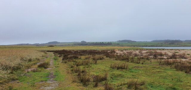
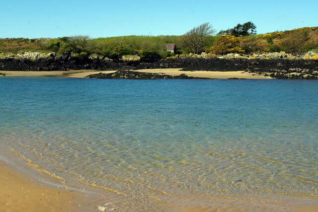
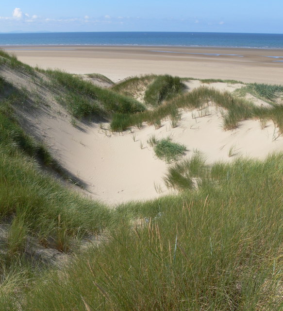
Yr Ebolion, also known as the Bull Bay, is a small coastal village located on the north coast of Anglesey, an island off the northwest coast of Wales. Situated approximately 3 miles east of Amlwch, it is an area of outstanding natural beauty, attracting visitors with its picturesque landscapes and serene atmosphere.

The village takes its name from the prominent rocky outcrop resembling a bull, which can be seen from the shoreline. Yr Ebolion offers stunning views of the Irish Sea, with its rugged cliffs and sandy beaches providing a perfect backdrop for outdoor activities such as walking, hiking, and fishing.

The Bull Bay area is known for its rich maritime history, as it was once a bustling port for the copper mining industry in Amlwch during the 18th and 19th centuries. Today, remnants of the mining era can still be seen in the form of old mine entrances and ruins, adding to the historical charm of the area.

Yr Ebolion is a tranquil village, offering a peaceful escape from the hustle and bustle of city life. It has a small population, with a tight-knit community that takes pride in preserving the natural beauty and heritage of the area. Visitors to Yr Ebolion can enjoy walks along the coastal path, exploring the nearby nature reserves, or simply taking in the breathtaking views from the comfort of the village's cozy cafes and pubs.

In conclusion, Yr Ebolion is a charming coastal village on the north coast of Anglesey, offering stunning natural landscapes, a rich history, and a peaceful atmosphere that attracts nature lovers and history enthusiasts alike.

If you have any feedback on the listing, please let us know in the comments section below.
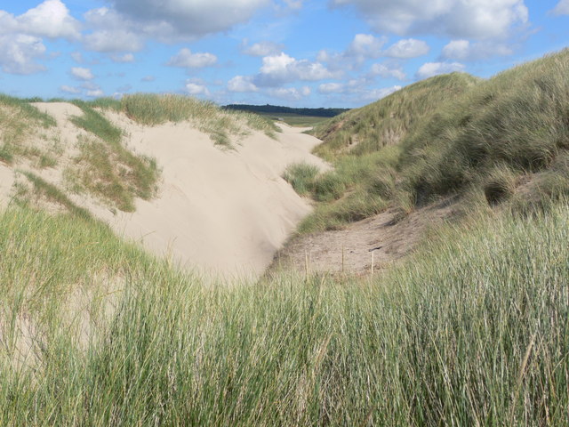
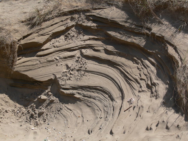
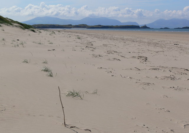
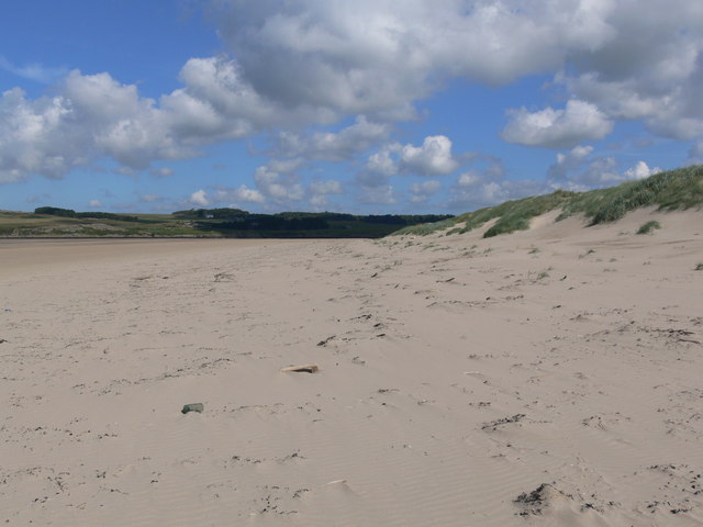
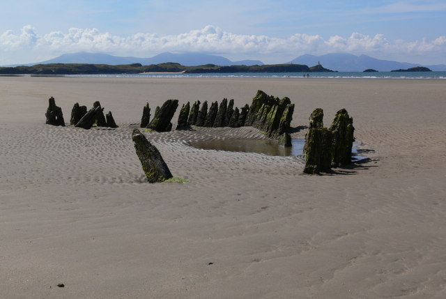
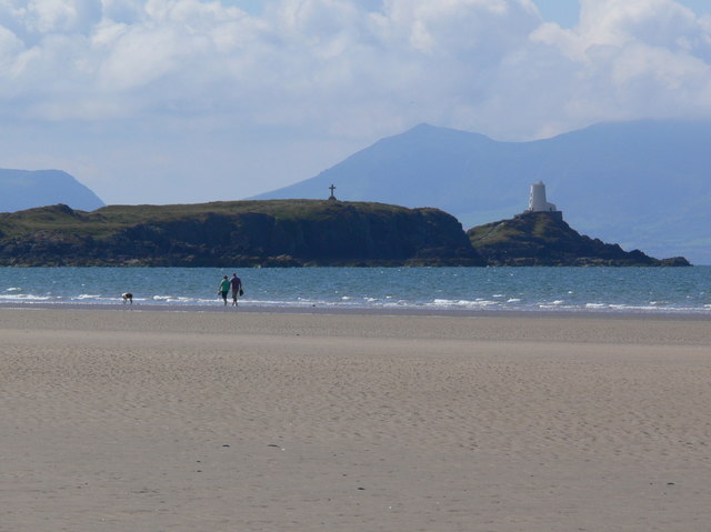
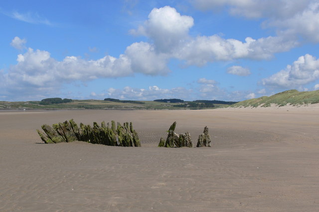
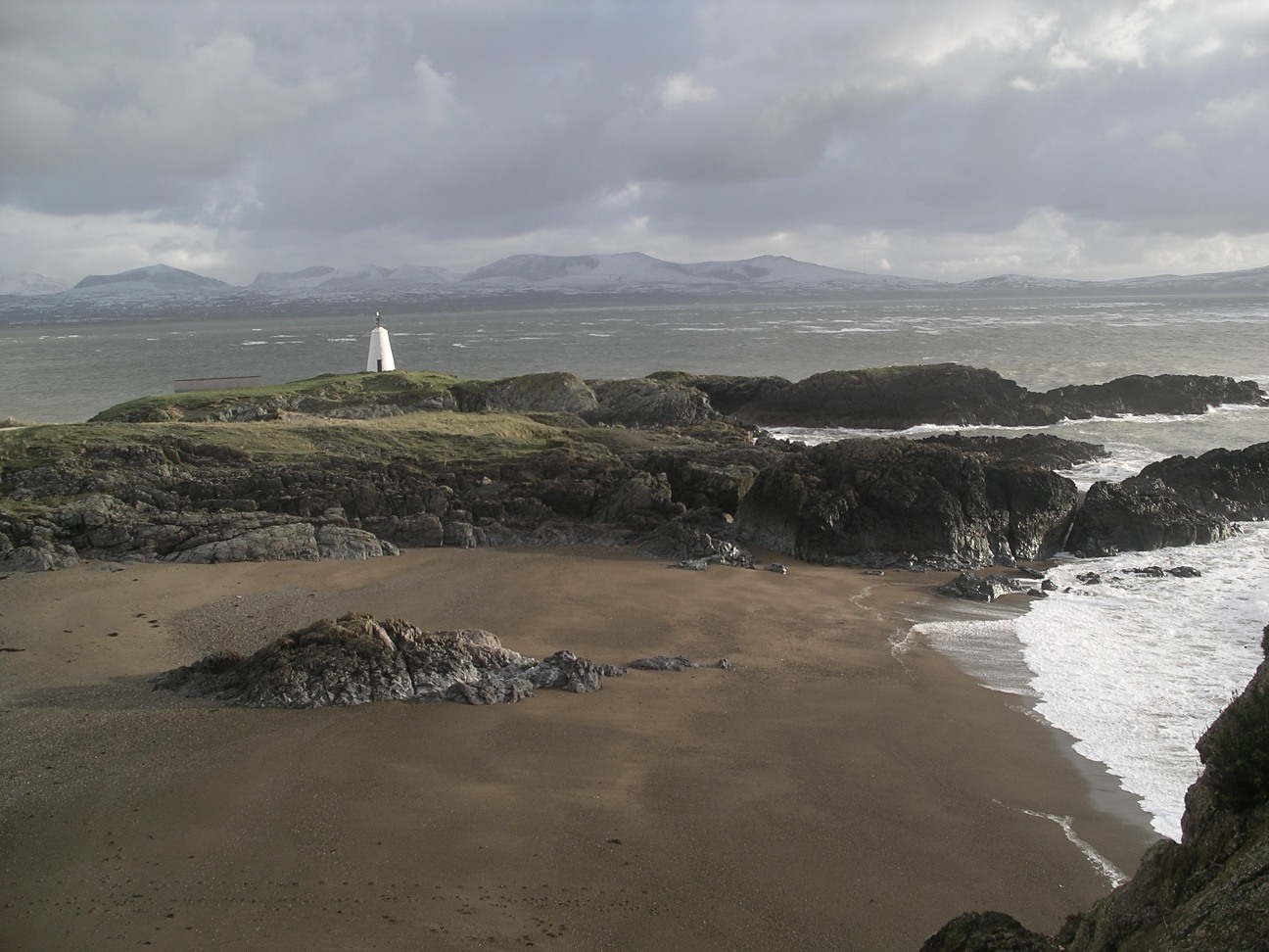
Yr Ebolion Images

Images are sourced within 2km of 53.157083/-4.4380543 or Grid Reference SH3764. Thanks to Geograph Open Source API. All images are credited.

Porth Melin Ifan Owen Sand dunes and sand on the southern edge of Newborough Warren and Ynys Llanddwyn National Nature Reserve.
Porth Melin Ifan Owen
Sand dunes and sand on the southern edge of Newborough Warren and Ynys Llanddwyn National Nature Reserve.
Porth Melin Ifan Owen
Forest meets dunes - sandy paths in Newborough Forest
Traeth Penrhos - Malltreath Bay
Malltraeth Bay at sunset
Track Junction
Track Junction
Forest Track
Forest Track
Tracks through Newborough Forest The path on the right leads to Traeth Penrhos, left leads to Llanddwyn Island.
Tracks through Newborough Forest
The path on the right leads to Traeth Penrhos, left leads to Llanddwyn Island.
Path back to Newborough Forest Crossing the dunes at Traeth Penrhos.
Path back to Newborough Forest
Crossing the dunes at Traeth Penrhos.
Sand dunes at Traeth Penrhos
Gap in the dunes Looking towards Traeth Penrhos and Malltraeth Bay.
Gap in the dunes
Looking towards Traeth Penrhos and Malltraeth Bay.
Wind sculptured sand dune
View south along Traeth Penrhos In the distance is Llanddwyn Island, with the mountains of the Lleyn Peninsula beyond.
View south along Traeth Penrhos
In the distance is Llanddwyn Island, with the mountains of the Lleyn Peninsula beyond.
View north along Traeth Penrhos
Shipwreck on Traeth Penrhos In the distance is Llanddwyn Island, with the mountains of the Lleyn Peninsula beyond.
Shipwreck on Traeth Penrhos
In the distance is Llanddwyn Island, with the mountains of the Lleyn Peninsula beyond.
Dog walkers on Traeth Penrhos Looking towards the cross and the lighthouse of Llanddwyn Island, the mountains of the Lleyn Peninsula are beyond.
Dog walkers on Traeth Penrhos
Looking towards the cross and the lighthouse of Llanddwyn Island, the mountains of the Lleyn Peninsula are beyond.
Shipwreck on Traeth Penrhos
Show me another place!

Yr Ebolion is located at Grid Ref: SH3764 (Lat: 53.157083, Lng: -4.4380543)

Unitary Authority: Isle of Anglesey

Police Authority: North Wales

What 3 Words

///revision.talkers.haystack. Near Rhosneigr, Isle of Anglesey

Related Wikis

Ynys Llanddwyn

Ynys Llanddwyn (also known as Llanddwyn Island) is a small tidal island off the west coast of Anglesey (Welsh: Ynys Môn), northwest Wales. The nearest...

Bodorgan

Bodorgan is a village and community on the Isle of Anglesey, Wales, United Kingdom. According to the 2001 Census, there were 1,503 residents in the now...

Afon Ffraw

The Afon Ffraw is a short river on the Isle of Anglesey, Wales. It arises at Llyn Coron and flows southwest for two miles along the northwestern margin...

RAF Bodorgan

Royal Air Force Bodorgan, or more simply RAF Bodorgan, is a former Royal Air Force satellite airfield located near to Bodorgan Hall on the Isle of Anglesey...

Nearby Amenities

Located within 500m of 53.157083,-4.4380543
Created By: almien_coastlines
Source: PGS
Lat/Long: 53.1562023/-4.4433761
Source: PGS
Lat/Long: 53.1553875/-4.4428996
Source: PGS
Lat/Long: 53.1552257/-4.4428189
Source: PGS
Lat/Long: 53.1558608/-4.4419033
Source: PGS
Lat/Long: 53.1561912/-4.4410659
Source: PGS
Lat/Long: 53.1563917/-4.4407122
Source: PGS
Lat/Long: 53.1566537/-4.440389
Created By: almien_coastlines
Source: PGS
Lat/Long: 53.1569242/-4.439537
Source: PGS
Lat/Long: 53.1572157/-4.4395948
Source: PGS
Lat/Long: 53.157495/-4.4391451
Source: PGS
Lat/Long: 53.1576992/-4.4385767
Source: PGS
Lat/Long: 53.1580253/-4.4379551
Source: PGS
Lat/Long: 53.1581695/-4.4368538
Source: PGS
Lat/Long: 53.1583449/-4.4367069
Source: PGS
Lat/Long: 53.1587262/-4.4363708
Source: PGS
Lat/Long: 53.1589201/-4.4365282
Source: PGS
Lat/Long: 53.1592179/-4.4364269
Source: PGS
Lat/Long: 53.159495/-4.4359308
Source: PGS
Lat/Long: 53.1592584/-4.4341121
Source: PGS
Lat/Long: 53.1594655/-4.4335178
Source: PGS
Lat/Long: 53.1596324/-4.4328046
Source: PGS
Lat/Long: 53.1596636/-4.4323612
Source: PGS
Lat/Long: 53.1604057/-4.4425009
Source: PGS
Lat/Long: 53.1596519/-4.4426564
Source: Landsat photo
Lat/Long: 53.1596965/-4.441771
Source: Landsat photo
Lat/Long: 53.1598545/-4.4413722
Source: Landsat photo
Lat/Long: 53.1598221/-4.4410073
Source: Landsat photo
Lat/Long: 53.1595668/-4.4407842
Source: Landsat photo
Lat/Long: 53.159117/-4.4414871
Source: Landsat photo
Lat/Long: 53.1585983/-4.4420211
The data included in this document is from www.openstreetmap.org. The data is made available under ODbL.

Have you been to Yr Ebolion?

Leave your review of Yr Ebolion below (or comments, questions and feedback).