Porth Newydd
Bay in Anglesey
Wales
Porth Newydd
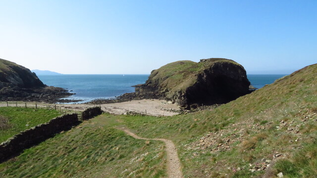
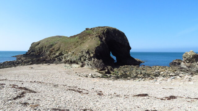
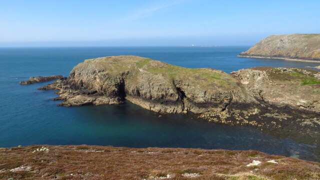
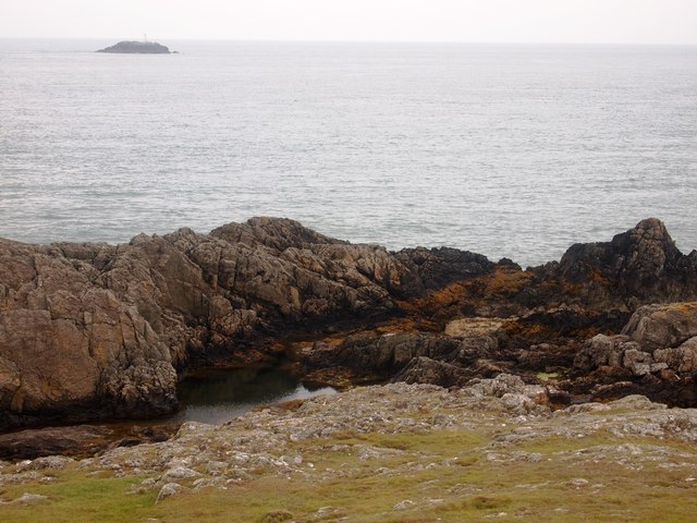
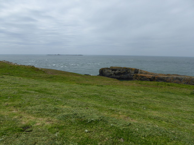
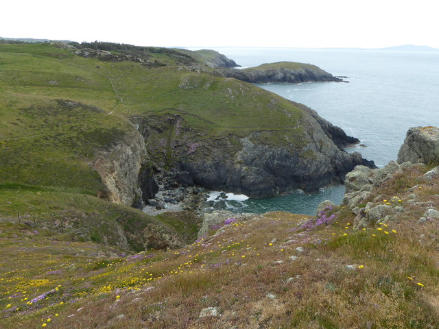
Porth Newydd, also known as Newborough Bay, is a picturesque coastal area located on the west coast of Anglesey, an island in North Wales. This bay is renowned for its stunning beauty and is a popular destination for tourists and locals alike.
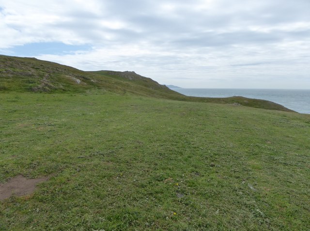
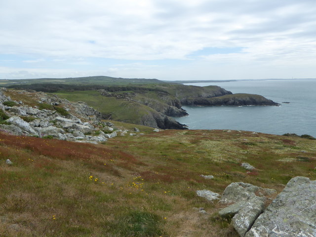
The bay is characterized by its long stretch of sandy beach, which extends for over five miles. The sand is soft and golden, making it an ideal spot for sunbathing, picnicking, and leisurely walks. The beach is backed by a vast dune system, which provides a habitat for a variety of plant and animal species, including rare orchids and nesting birds.
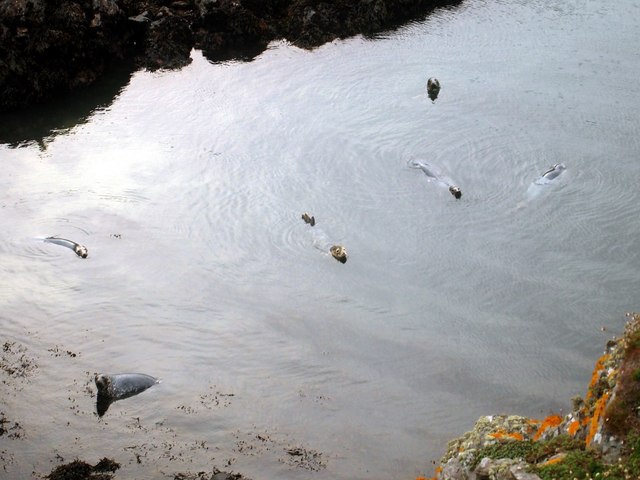
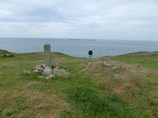
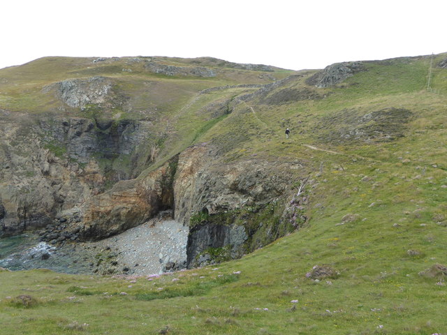
One of the most notable features of Porth Newydd is the nearby forest of Newborough Warren. This ancient woodland is home to red squirrels, foxes, and a wide array of bird species. Visitors can explore the forest via several walking trails, which offer stunning views of the bay and the surrounding landscape.
Porth Newydd is also known for its historical significance. The ruins of the 13th-century Llys Rhosyr, a medieval court, can be found nearby. This site provides a glimpse into the island's rich past and offers a fascinating insight into the lives of its former inhabitants.
In addition to its natural and historical attractions, Porth Newydd offers various recreational activities. The bay is a popular spot for water sports enthusiasts, such as windsurfing and kiteboarding. It is also a designated nature reserve, ensuring the preservation of its unique ecosystem.
Overall, Porth Newydd is a must-visit destination for those seeking a combination of natural beauty, historical sites, and outdoor activities. Its pristine beach, enchanting forest, and rich cultural heritage make it an idyllic spot for a relaxing day out or an adventurous exploration.
If you have any feedback on the listing, please let us know in the comments section below.
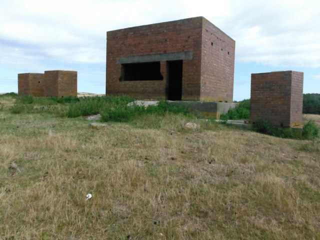
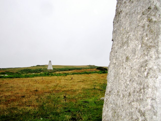
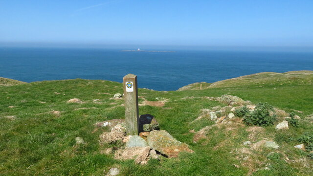
Porth Newydd Images
Images are sourced within 2km of 53.405794/-4.5494872 or Grid Reference SH3092. Thanks to Geograph Open Source API. All images are credited.
Porth Newydd is located at Grid Ref: SH3092 (Lat: 53.405794, Lng: -4.5494872)
Unitary Authority: Isle of Anglesey
Police Authority: North Wales
What 3 Words
///hides.reclusive.sheds. Near Llanfaethlu, Isle of Anglesey
Nearby Locations
Related Wikis
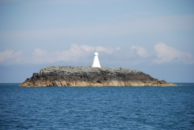
West Mouse
West Mouse (Welsh: Maen y Bugail) is an islet lying 1.1 kilometres (0.68 mi) off the north-west coast of Anglesey, Wales. Its maximum dimensions are 92...

Henborth
Henborth is a Site of Special Scientific Interest (or SSSI) in Anglesey, North Wales. It has been designated as a Site of Special Scientific Interest since...
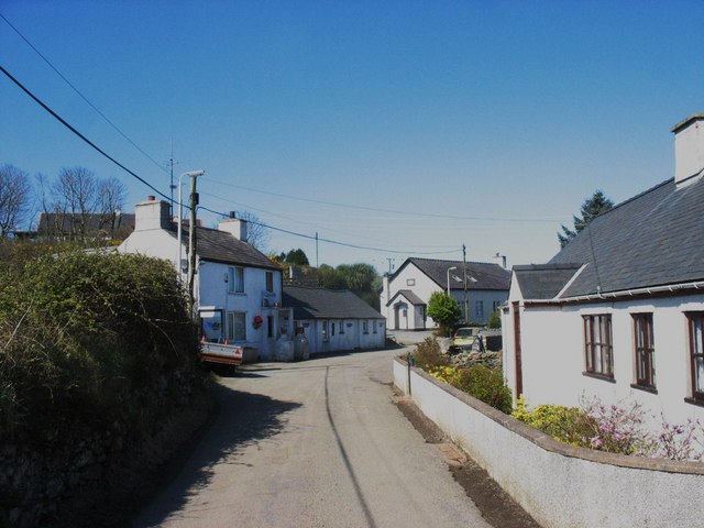
Llanfair-yng-Nghornwy
Llanfair-yng-Nghornwy () is a village in Anglesey, in north-west Wales. == See also == St Mary's Church, Llanfair-yng-Nghornwy == References ==
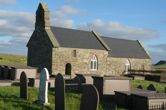
St Rhwydrus's Church, Llanrhwydrus
St Rhwydrus's Church is a medieval church in the village of Cemlyn on the Isle of Anglesey, Wales. The building dates from the mid-12th century and underwent...
Nearby Amenities
Located within 500m of 53.405794,-4.5494872Have you been to Porth Newydd?
Leave your review of Porth Newydd below (or comments, questions and feedback).