Porth Gron
Bay in Anglesey
Wales
Porth Gron
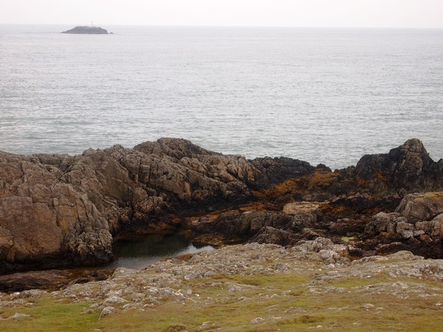
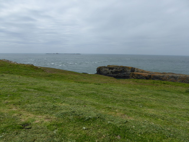
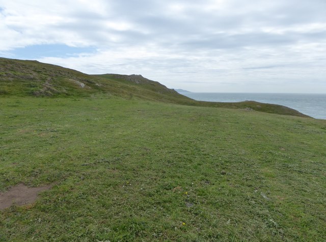
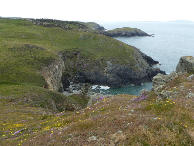
Porth Gron is a picturesque bay located on the island of Anglesey in North Wales. It is situated on the northwest coast of the island, approximately 6 miles northwest of Holyhead.
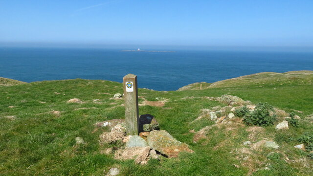
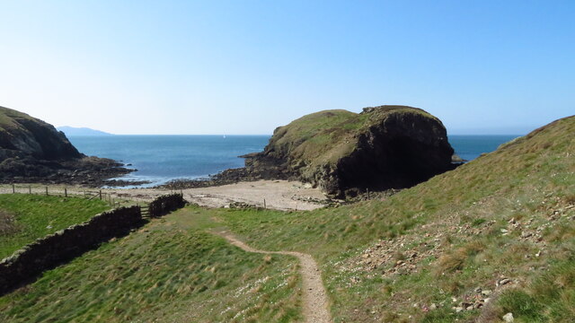
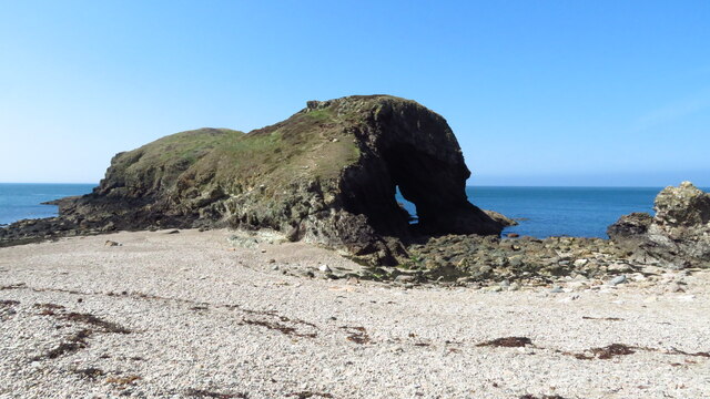
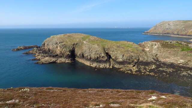
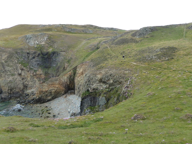
The bay is known for its stunning natural beauty, with its sandy beach surrounded by tall cliffs and rock formations. The beach is relatively secluded and is often less crowded than other popular beaches in the area, making it a peaceful spot for visitors to relax and enjoy the scenery.
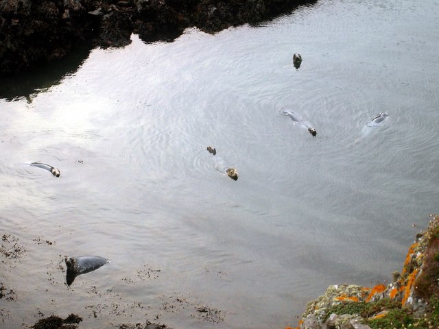
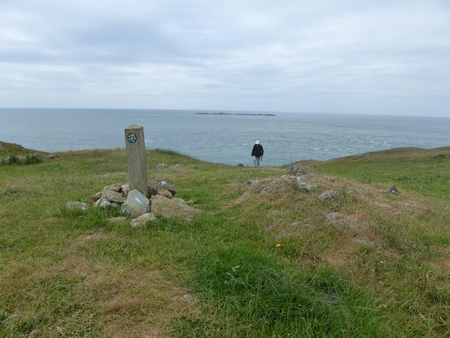
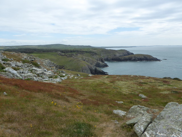
Porth Gron is also a popular destination for outdoor enthusiasts and nature lovers. The bay offers opportunities for coastal walks, with several scenic trails leading along the cliffs and offering panoramic views of the Irish Sea. The area is home to a variety of bird species, including gulls and oystercatchers, making it a great spot for birdwatching.
Additionally, Porth Gron is an ideal location for water activities such as swimming, kayaking, and fishing. The clear waters of the bay are relatively calm, providing a safe environment for water sports enthusiasts of all levels.
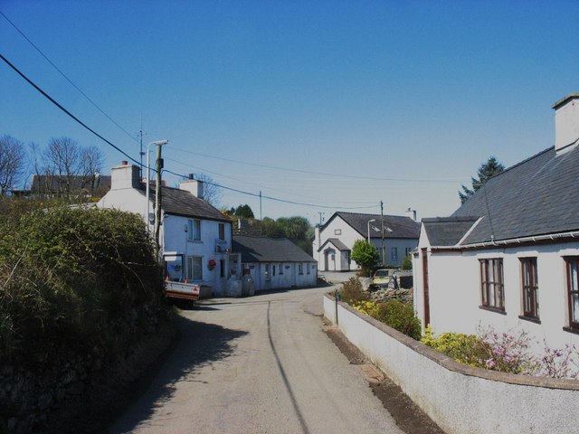
There are limited facilities at Porth Gron, with no cafes or shops directly located on the beach. However, there are nearby villages and towns where visitors can find amenities and refreshments.
Overall, Porth Gron is a hidden gem on Anglesey's coastline, offering a tranquil and picturesque setting for visitors to enjoy the natural beauty of the area.
If you have any feedback on the listing, please let us know in the comments section below.
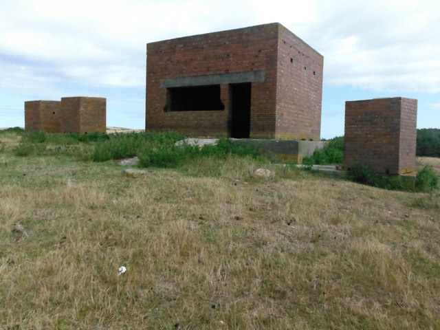
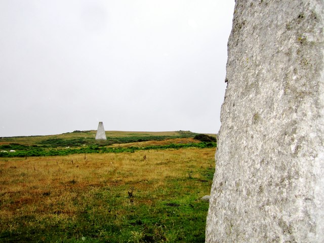
Porth Gron Images
Images are sourced within 2km of 53.404295/-4.554829 or Grid Reference SH3092. Thanks to Geograph Open Source API. All images are credited.
Porth Gron is located at Grid Ref: SH3092 (Lat: 53.404295, Lng: -4.554829)
Unitary Authority: Isle of Anglesey
Police Authority: North Wales
What 3 Words
///simmer.foal.lived. Near Llanfaethlu, Isle of Anglesey
Nearby Locations
Related Wikis
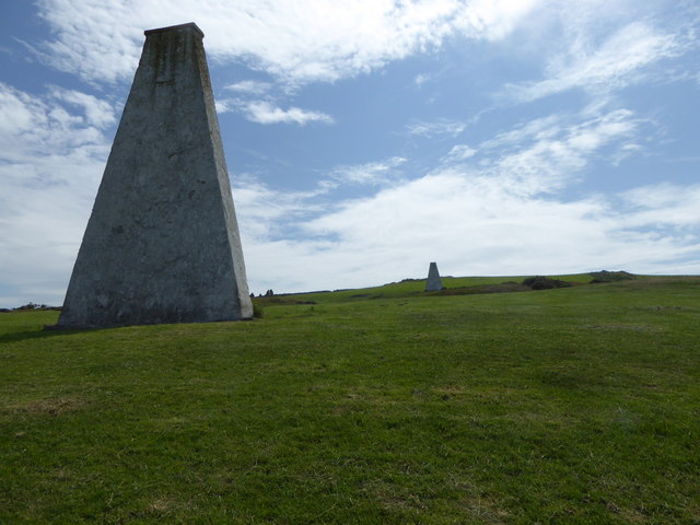
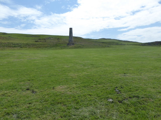
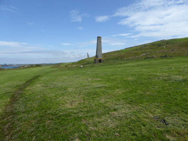
Carmel Head
Carmel Head (Welsh: Trwyn y Gadair) is a prominent coastal headland on the northwest tip of the island of Anglesey. It is a designated SSSI because of...
Llanfair-yng-Nghornwy
Llanfair-yng-Nghornwy () is a village in Anglesey, in north-west Wales. == See also == St Mary's Church, Llanfair-yng-Nghornwy == References ==
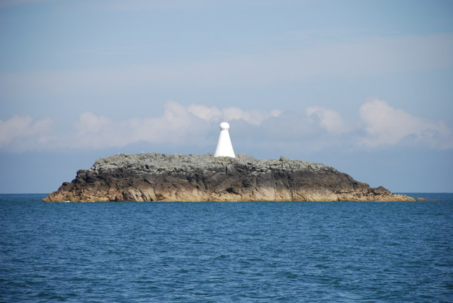
West Mouse
West Mouse (Welsh: Maen y Bugail) is an islet lying 1.1 kilometres (0.68 mi) off the north-west coast of Anglesey, Wales. Its maximum dimensions are 92...

Henborth
Henborth is a Site of Special Scientific Interest (or SSSI) in Anglesey, North Wales. It has been designated as a Site of Special Scientific Interest since...
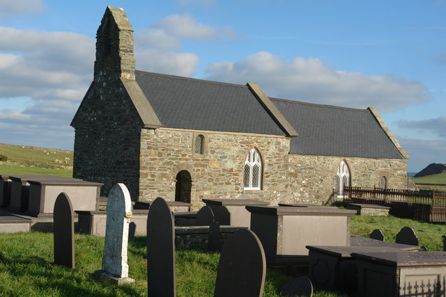
St Rhwydrus's Church, Llanrhwydrus
St Rhwydrus's Church is a medieval church in the village of Cemlyn on the Isle of Anglesey, Wales. The building dates from the mid-12th century and underwent...
Caerau, Anglesey
Caerau, Cylch-y-Garn is an area in the community of Cylch-y-Garn, Isle of Anglesey, Wales. == Caerau Mansion == There is a group of buildings at Caerau...

Clegir Mawr
Clegir Mawr is a Site of Special Scientific Interest (SSSI) in the community of Cylch-y-Garn in the north-west of the island of Anglesey, Wales. It is...
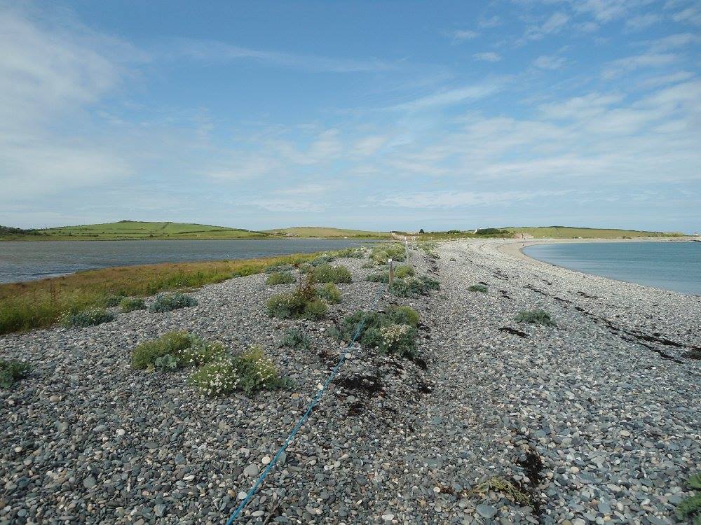
Cemlyn Bay and lagoon
Cemlyn Bay is a bay on the northwest coast of Anglesey, North Wales, approximately 2.5 km west of Wylfa nuclear power station, within the community of...
Nearby Amenities
Located within 500m of 53.404295,-4.554829Have you been to Porth Gron?
Leave your review of Porth Gron below (or comments, questions and feedback).