Camus an Trusdair
Bay in Ross-shire
Scotland
Camus an Trusdair
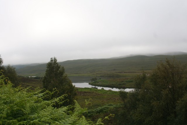
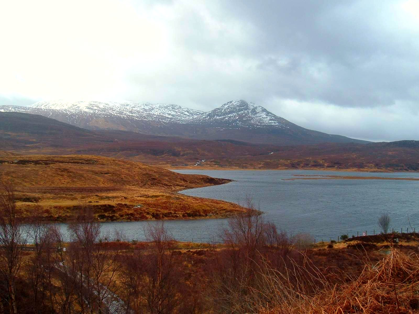
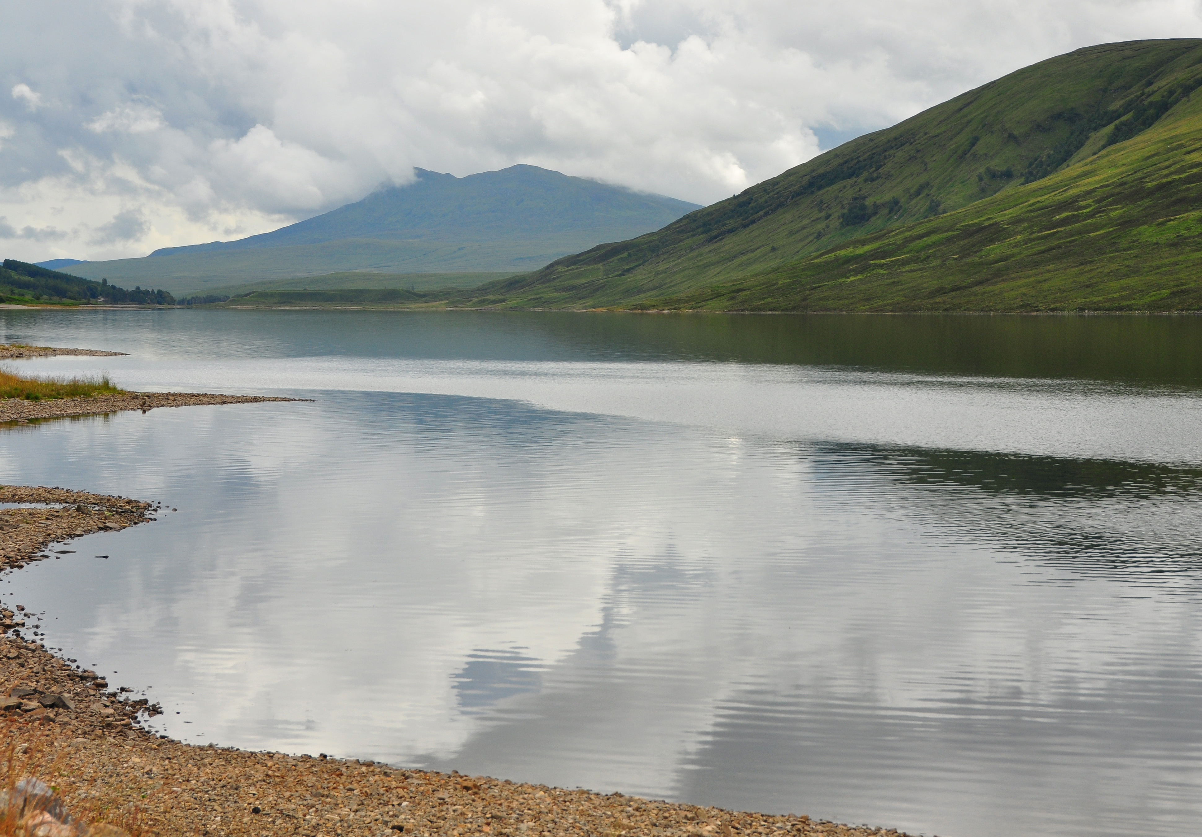
Camus an Trusdair is a picturesque bay located in Ross-shire, Scotland. Situated on the west coast of the Highlands, the bay is nestled between towering cliffs and offers breathtaking views of the surrounding landscape. The name "Camus an Trusdair" translates to "bay of the otter" in Gaelic, reflecting the area's abundant wildlife.
The bay is known for its rugged beauty, with its rocky shores and pristine sandy beaches. The crystal-clear waters provide a perfect habitat for various marine species, making it a popular spot for wildlife enthusiasts and photographers. Otters, seals, and seabirds can often be spotted in and around the bay, adding to its charm and natural appeal.
The area surrounding Camus an Trusdair is rich in history and heritage. The nearby ruins of an ancient broch, a prehistoric circular stone tower, stand as a testament to the area's ancient past. The bay also holds cultural significance as it was once a busy fishing port, with remnants of old fishing huts and boatyards still visible.
Outdoor activities abound in Camus an Trusdair, attracting both locals and tourists alike. The bay offers excellent opportunities for fishing, kayaking, and sailing. Hiking enthusiasts can explore the surrounding cliffs and hills, taking in panoramic views of the bay and its dramatic coastal scenery.
Camus an Trusdair is a hidden gem in Ross-shire, offering visitors a unique blend of natural beauty, wildlife, and cultural heritage. Whether seeking tranquility, adventure, or a glimpse into Scotland's past, this bay is a must-visit destination for all.
If you have any feedback on the listing, please let us know in the comments section below.
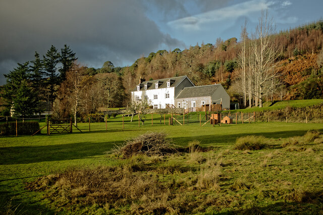
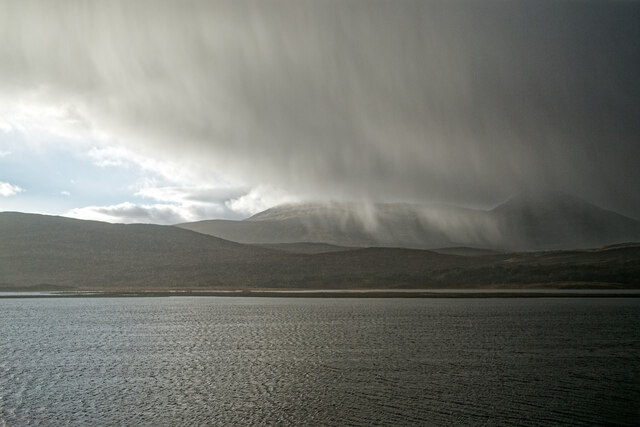
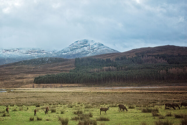
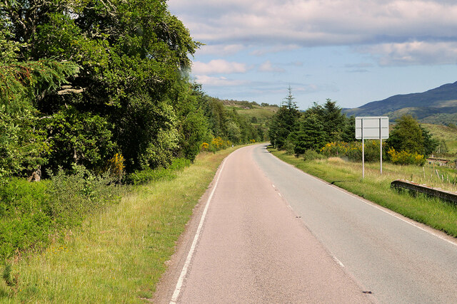
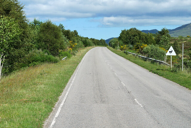
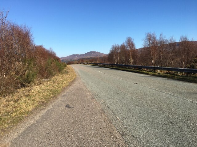
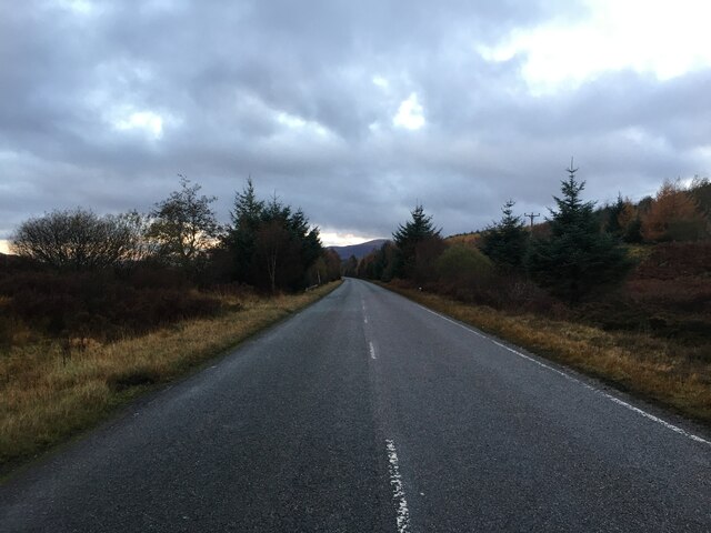
Camus an Trusdair Images
Images are sourced within 2km of 57.604595/-4.8877345 or Grid Reference NH2760. Thanks to Geograph Open Source API. All images are credited.


Camus an Trusdair is located at Grid Ref: NH2760 (Lat: 57.604595, Lng: -4.8877345)
Unitary Authority: Highland
Police Authority: Highlands and Islands
What 3 Words
///vibes.lump.flaunting. Near Achnasheen, Highland
Nearby Locations
Related Wikis

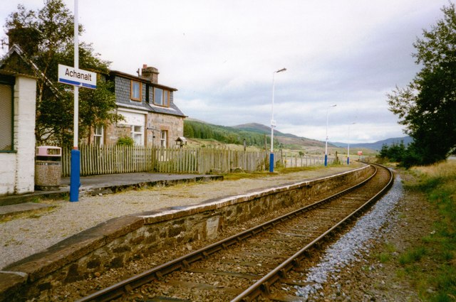
Achanalt railway station
Achanalt railway station is a geographically remote railway station on the Kyle of Lochalsh Line, serving the village of Achanalt in the north of Scotland...
Achanalt
Achanalt (Gaelic: Achadh nan Allt) is a railway halt in Strath Bran, Ross and Cromarty, in the Scottish council area of Highland. It is served by a railway...

Grudie
Grudie (Grùididh in Scottish Gaelic) is a village, situated between Loch a' Chuilinn and Loch Luichart with the River Bran flowing past Grudie east to...
Lochluichart railway station
Lochluichart railway station is a railway station on the Kyle of Lochalsh Line, serving the village of Lochluichart in the north of Scotland. The station...
Sgurr a' Mhuilinn
Sgurr a' Mhuilinn (879 m) is a mountain in Highland, Scotland. It lies in a remote location in the Northwest Highlands, approximately 40 miles (64 km)...

Loch Fannich
Loch Fannich is a remote loch in Ross-shire, in Scotland. The loch is located 19 kilometres (12 mi) west of Strathpeffer. == Etymology == The name Fannich...

A832 road
The A832 is a road in the Scottish Highlands, linking Cromarty, on the east coast, to Gairloch on the west coast, and beyond Gairloch to Braemore Junction...

Ross and Cromarty
Ross and Cromarty (Scottish Gaelic: Ros agus Cromba), also referred to as Ross-shire and Cromartyshire, is a variously defined area in the Highlands and...
Nearby Amenities
Located within 500m of 57.604595,-4.8877345Have you been to Camus an Trusdair?
Leave your review of Camus an Trusdair below (or comments, questions and feedback).