Rosneath Bay
Bay in Dunbartonshire
Scotland
Rosneath Bay
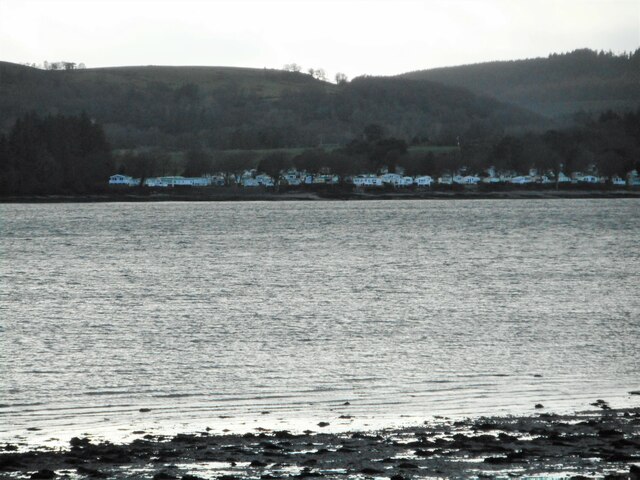
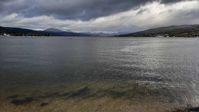
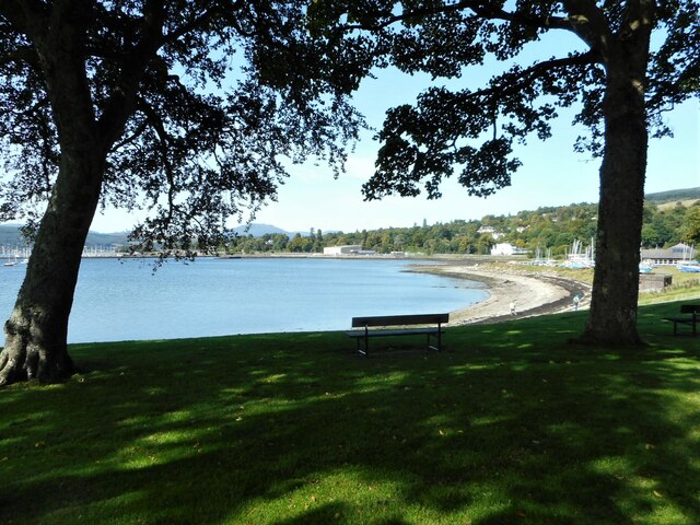
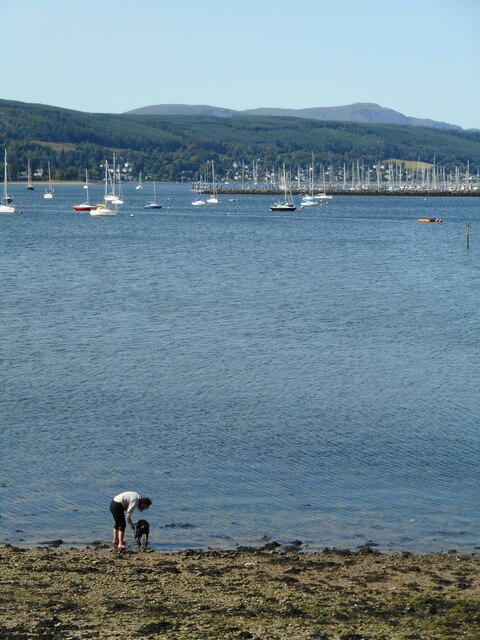
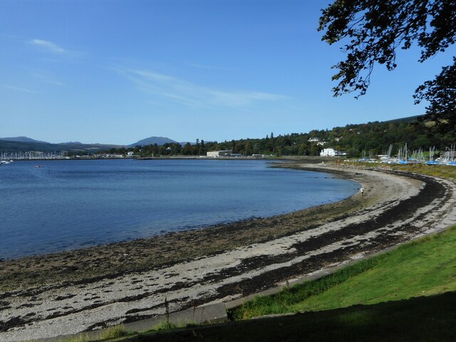
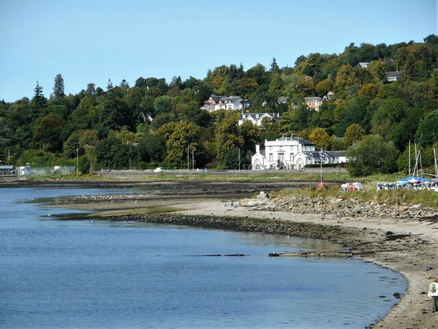
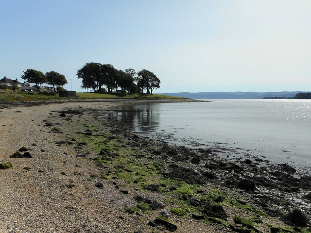
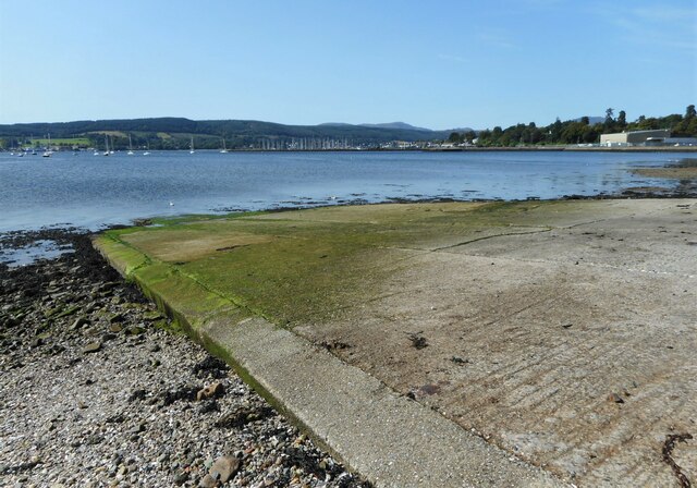
Rosneath Bay is a picturesque bay located in Dunbartonshire, Scotland. Situated on the western shores of the Rosneath Peninsula, the bay offers breathtaking views of the surrounding hills and the tranquil waters of the Gare Loch.
The bay is known for its natural beauty and is a popular destination for nature lovers and outdoor enthusiasts. The area is abundant in wildlife, with various species of birds, seals, and otters often spotted in and around the bay. The bay is also home to a variety of marine life, making it a great spot for fishing and diving.
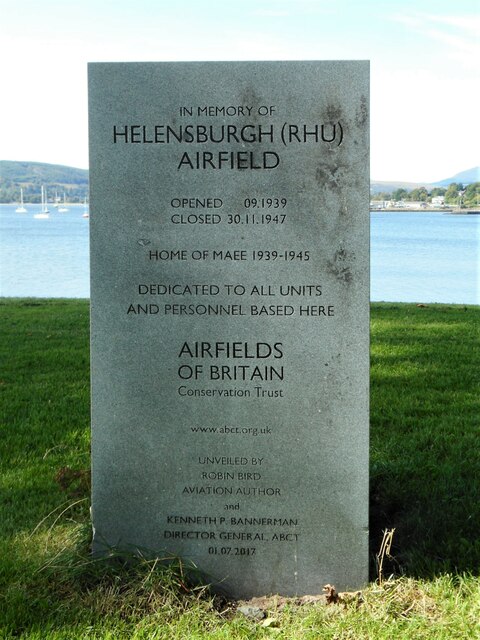
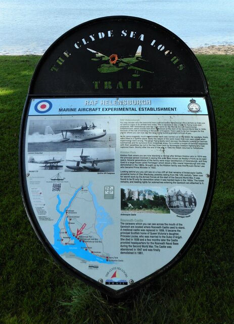
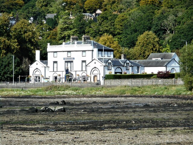
The bay has a rich history, with evidence of human settlement dating back to prehistoric times. In the 19th century, it became a popular holiday destination for the wealthy, and several grand mansions were built along the bay. Today, some of these historic buildings have been converted into hotels and holiday homes, offering visitors a chance to experience a taste of the past.
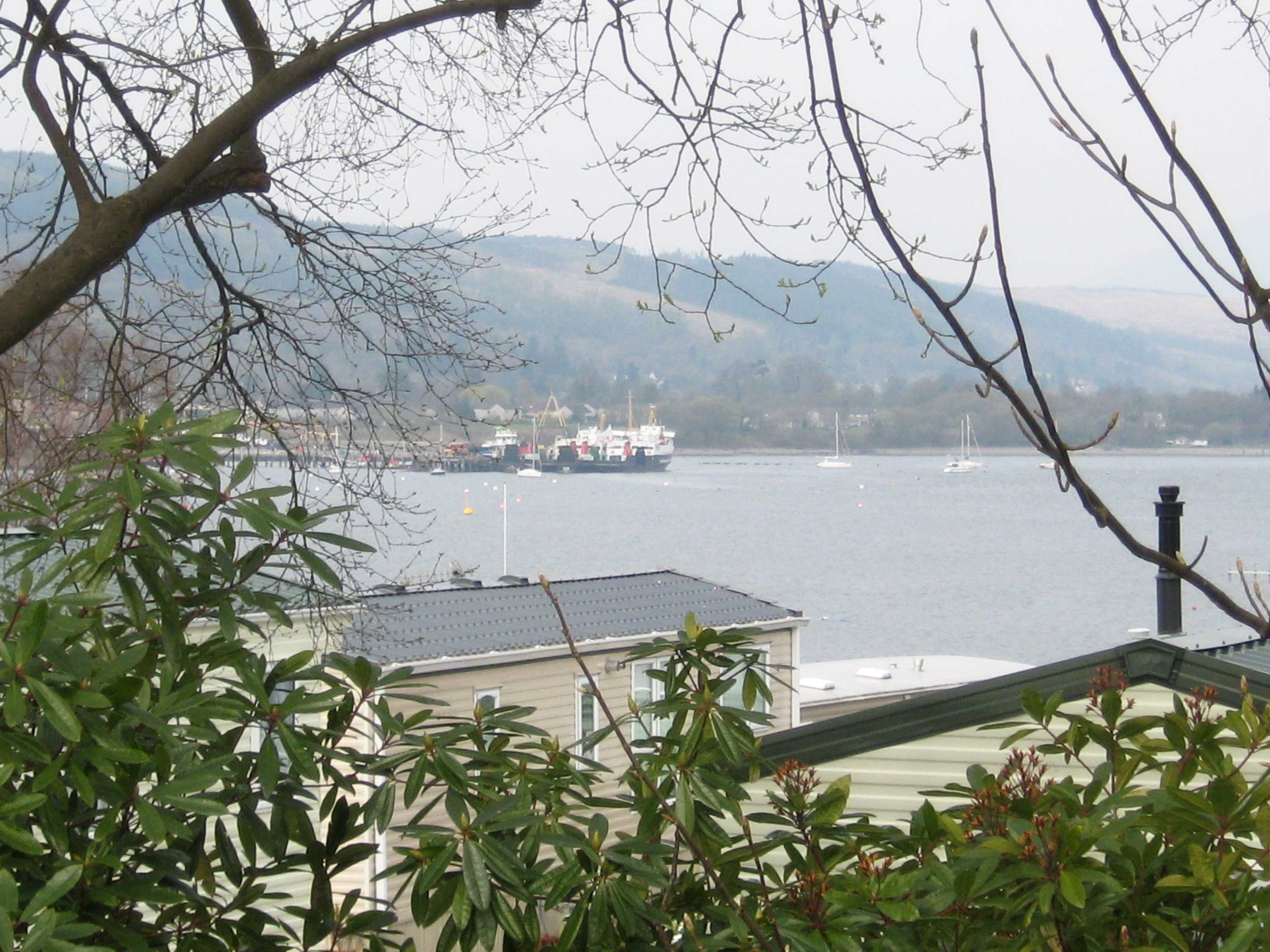
The bay is also a hub for water sports, with sailing, kayaking, and windsurfing being popular activities among locals and visitors alike. There are several marinas and boat rental facilities available, providing easy access to the water.
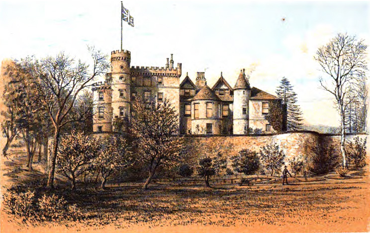
For those who prefer a more relaxed experience, there are several walking trails along the bay, offering stunning views of the surrounding landscape. The nearby Rosneath Castle, a 19th-century mansion, is also worth a visit, showcasing the area's architectural heritage.
In summary, Rosneath Bay offers visitors a perfect blend of natural beauty, outdoor activities, and historical charm. Whether you are interested in exploring the wildlife, enjoying water sports, or simply taking in the stunning scenery, this bay has something to offer for everyone.
If you have any feedback on the listing, please let us know in the comments section below.
Rosneath Bay Images
Images are sourced within 2km of 56.002304/-4.7852389 or Grid Reference NS2682. Thanks to Geograph Open Source API. All images are credited.


Rosneath Bay is located at Grid Ref: NS2682 (Lat: 56.002304, Lng: -4.7852389)
Unitary Authority: Argyll and Bute
Police Authority: Argyll and West Dunbartonshire
What 3 Words
///nicer.slick.bedroom. Near Rosneath, Argyll & Bute
Nearby Locations
Related Wikis
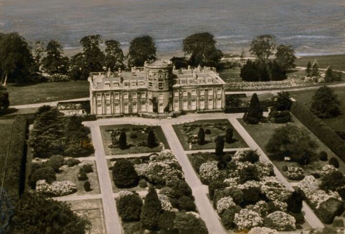
Rosneath House
Rosneath House was a substantial mansion in Dunbartonshire of note both as the home of Princess Louise, Duchess of Argyll and as the military base where...

Rosneath naval base
Rosneath naval base was a naval base, constructed on the Rosneath peninsula, Argyll and Bute, Scotland. close to the village of Rosneath. The construction...
Rosneath
Rosneath (Ros Neimhidh in Gaelic) is a village in Argyll and Bute, Scotland. It sits on the western shore of the Gare Loch, 2 miles (3 kilometres) northwest...
Ardencaple Castle
Ardencaple Castle, also known as Ardincaple Castle, and sometimes referred to as Ardencaple Castle Light, is a listed building, situated about 1 statute...
Nearby Amenities
Located within 500m of 56.002304,-4.7852389Have you been to Rosneath Bay?
Leave your review of Rosneath Bay below (or comments, questions and feedback).