Porth Gwalch
Bay in Anglesey
Wales
Porth Gwalch
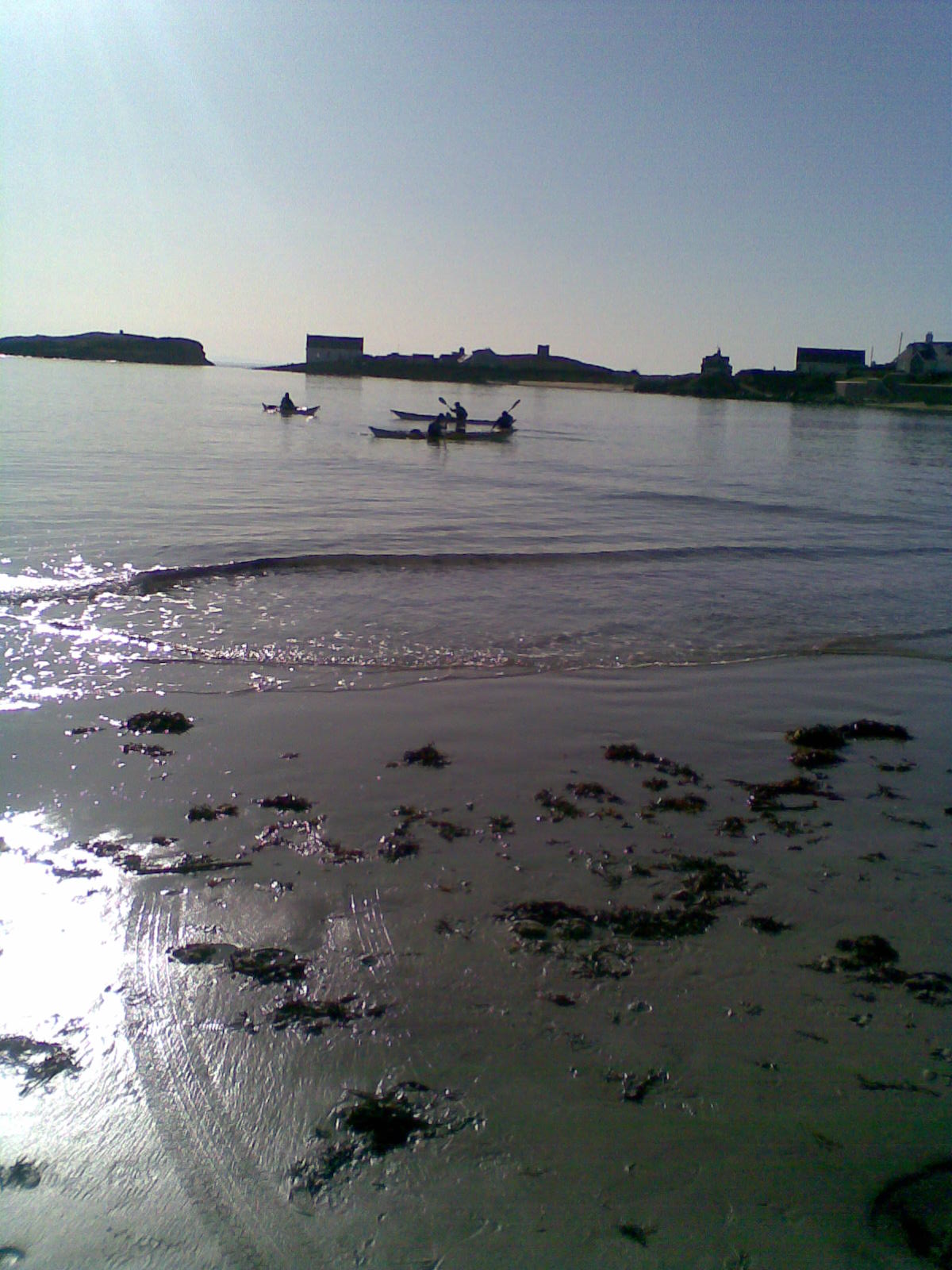
Porth Gwalch, also known as Gwalch Bay, is a picturesque bay located on the southern coast of the Isle of Anglesey in Wales. It is situated between the villages of Aberffraw and Rhosneigr, overlooking the Irish Sea.
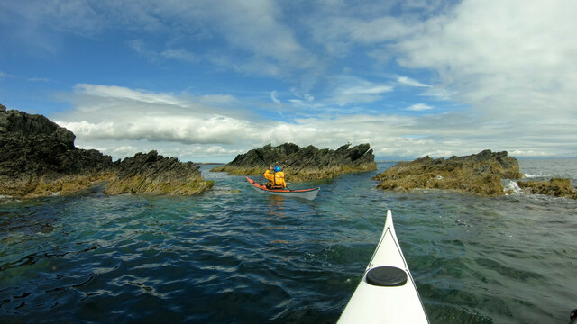
The bay is renowned for its stunning sandy beach, which stretches for approximately 2 miles. The golden sands are perfect for sunbathing, picnicking, and building sandcastles. The beach is also a popular spot for watersports enthusiasts, offering great conditions for windsurfing, kiteboarding, and sailing.
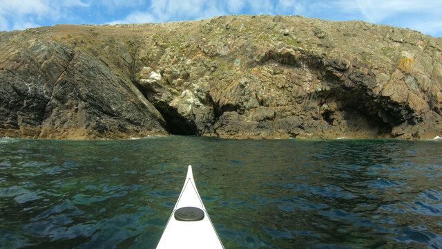
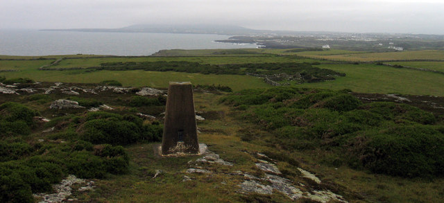
Porth Gwalch offers breathtaking views of the surrounding landscape, with rolling sand dunes and rugged cliffs adding to its natural beauty. The bay is part of a designated Area of Outstanding Natural Beauty (AONB), ensuring its preservation for future generations to enjoy.
The area is home to a variety of wildlife, including numerous bird species that can be spotted along the coastline. It is a great spot for birdwatching, with the chance to see curlews, oystercatchers, and sandpipers among others.
Porth Gwalch is a peaceful and tranquil location, perfect for those seeking relaxation and a break from the hustle and bustle of everyday life. Visitors can take leisurely walks along the beach, explore the nearby sand dunes, or simply enjoy the breathtaking views.
Overall, Porth Gwalch is a hidden gem on the Isle of Anglesey, offering a beautiful beach, stunning views, and a peaceful atmosphere that makes it a must-visit destination for nature lovers and beach enthusiasts.
If you have any feedback on the listing, please let us know in the comments section below.
Porth Gwalch Images
Images are sourced within 2km of 53.247198/-4.612582 or Grid Reference SH2575. Thanks to Geograph Open Source API. All images are credited.


Porth Gwalch is located at Grid Ref: SH2575 (Lat: 53.247198, Lng: -4.612582)
Unitary Authority: Isle of Anglesey
Police Authority: North Wales
What 3 Words
///vent.replying.typified. Near Valley, Isle of Anglesey
Nearby Locations
Related Wikis

Glannau Rhoscolyn
Glannau Rhoscolyn is a Site of Special Scientific Interest (or SSSI) in Anglesey, North Wales, and extends along the west coast of Holy Island, Anglesey...
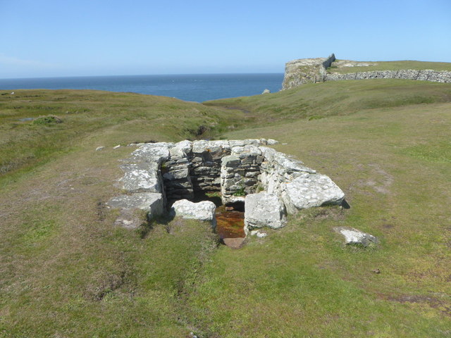
St Gwenfaen's Well
St Gwenfaen's Well (also known as Welsh: Ffynnon Gwenfaen, Welsh: Ffynnon Wenfaen and Welsh: Ffynnon Gwenfai) is an early medieval holy well in the south...
Rhoscolyn
Rhoscolyn is a village and community located on Holy Island, Anglesey, Wales. It is just over five miles south of Holyhead and is the most southerly settlement...
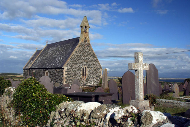
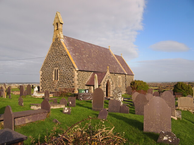
St Gwenfaen's Church, Rhoscolyn
St Gwenfaen's Church is in the village of Rhoscolyn, on the Isle of Anglesey, Wales. The church was established in AD630, and was dedicated to St. Gwenfaen...

Four Mile Bridge
Four Mile Bridge (Welsh: Pontrhydybont / Pont-rhydbont / Pontrhypont) is a village spanning both sides of the Cymyran Strait in Wales, connecting Holy...
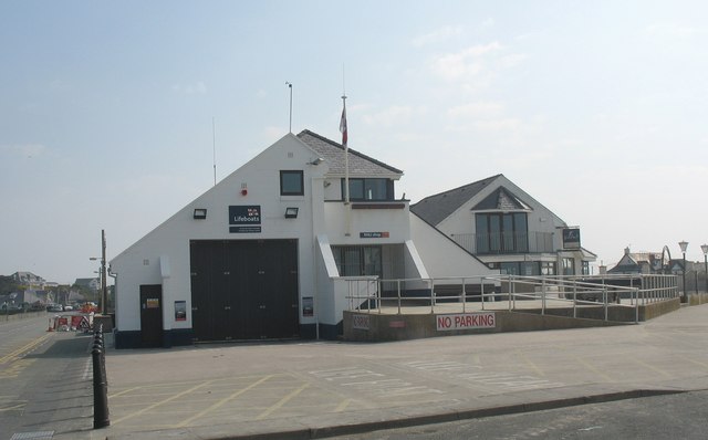
Trearddur Bay Lifeboat Station
Trearddur Bay Lifeboat Station is located in Trearddur, Anglesey, Wales and opened in 1967 as an inshore lifeboat station.The station currently operates...

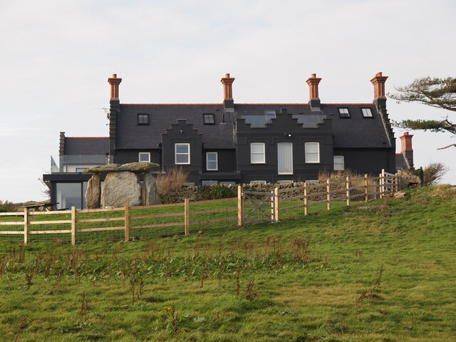
Craig y Mor
Craig y Mor is a house overlooking Treaddur Bay on Anglesey, Wales. The house dates from the early 20th century and has always been privately owned. It...
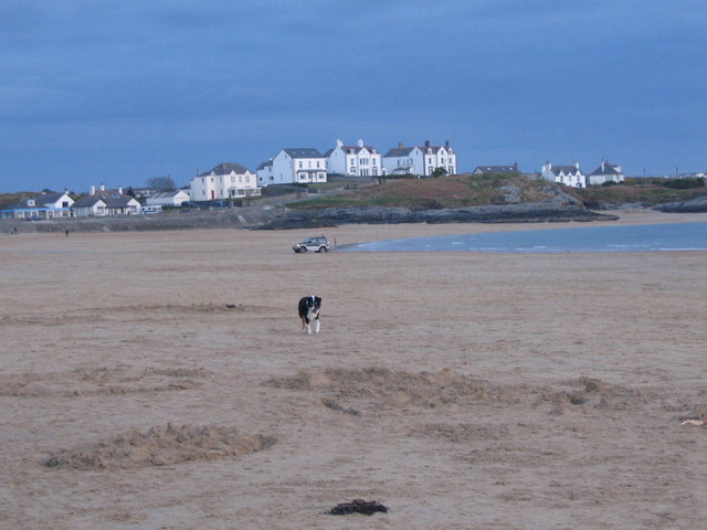
Trearddur
Trearddur or Trearddur Bay (Welsh: Bae Trearddur) is a village, seaside resort and community south of Holyhead on the west coast of Holy Island off the...
Nearby Amenities
Located within 500m of 53.247198,-4.612582Have you been to Porth Gwalch?
Leave your review of Porth Gwalch below (or comments, questions and feedback).