Auchenmalg Bay
Bay in Wigtownshire
Scotland
Auchenmalg Bay
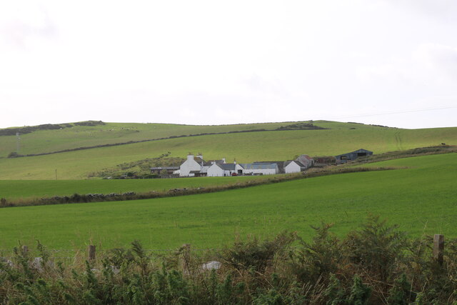
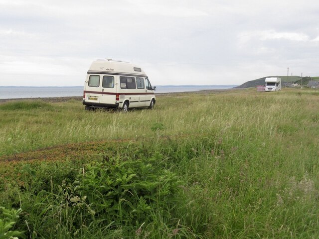
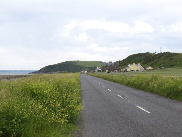
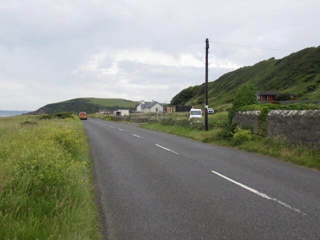
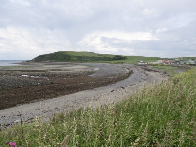
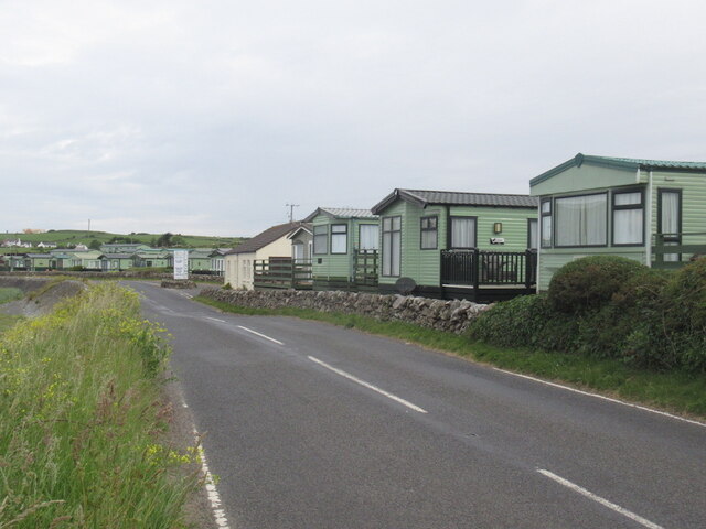
Auchenmalg Bay is a picturesque coastal area located in Wigtownshire, a historic county in southwestern Scotland. Situated on the eastern shore of Luce Bay, Auchenmalg Bay is known for its stunning natural beauty and tranquil atmosphere.
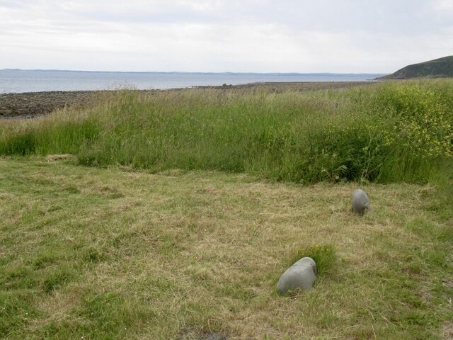
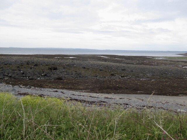
The bay is characterized by its sandy beach, which stretches for approximately one kilometer along the shoreline. The beach is a popular destination for both locals and tourists, offering opportunities for sunbathing, picnicking, and leisurely walks. The crystal-clear waters of the bay provide a safe environment for swimming and other water activities.
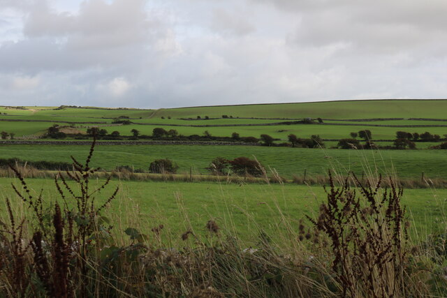
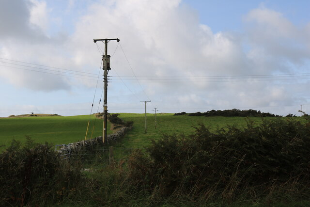
Surrounded by rolling hills and verdant countryside, Auchenmalg Bay offers breathtaking panoramic views. Visitors can enjoy the stunning vistas of the bay, with its calm waters reflecting the changing colors of the sky, creating a truly idyllic setting.
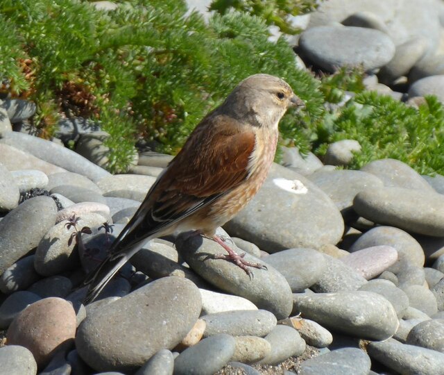
For nature lovers, Auchenmalg Bay is a haven of biodiversity. The area is home to a variety of bird species, making it a popular spot for birdwatching. The bay also supports a diverse marine ecosystem, with a range of marine life such as seals and dolphins occasionally being spotted.
In addition to its natural attractions, Auchenmalg Bay has a rich historical background. The remains of a World War II coastal defense battery can still be seen in the area, adding an element of historical interest to the bay.
Overall, Auchenmalg Bay offers a delightful blend of natural beauty, tranquility, and historical significance, making it a must-visit destination for those exploring Wigtownshire.
If you have any feedback on the listing, please let us know in the comments section below.
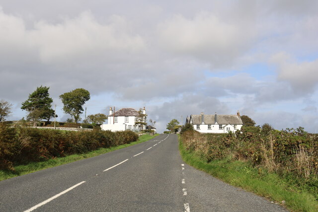
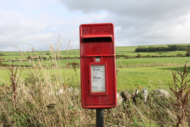
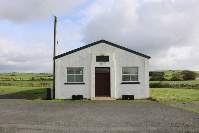
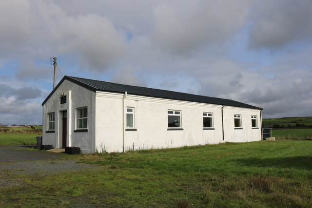
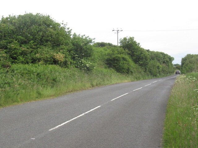
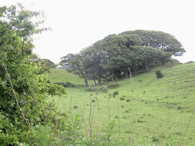
Auchenmalg Bay Images
Images are sourced within 2km of 54.828718/-4.7515182 or Grid Reference NX2351. Thanks to Geograph Open Source API. All images are credited.
Auchenmalg Bay is located at Grid Ref: NX2351 (Lat: 54.828718, Lng: -4.7515182)
Unitary Authority: Dumfries and Galloway
Police Authority: Dumfries and Galloway
What 3 Words
///feels.converged.activism. Near Drummore, Dumfries & Galloway
Nearby Locations
Related Wikis

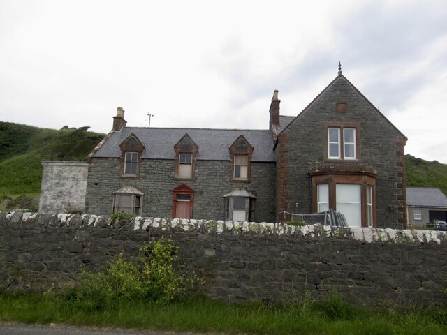
Auchenmalg
Auchenmalg is a small hamlet situated on the shore of Luce Bay in the parish of Old Luce, Wigtownshire, south-west Scotland. Auchenmalg consists of a village...

Wigtown Area
Wigtown is a lieutenancy area in south-west Scotland and a committee area of Dumfries and Galloway Council. From 1975 until 1996 it was also a local government...

Wigtownshire
Wigtownshire or the County of Wigtown (Scottish Gaelic: Siorrachd Bhaile na h-Ùige, Scots: Wigtounshire) is one of the historic counties of Scotland, covering...

Castle Loch, Dumfries and Galloway
Castle Loch is a large, shallow, freshwater loch in Dumfries and Galloway, in the Southern Uplands of south-west Scotland. It lies to the west of Mochrum...
Castle Loch
Castle Loch is a shallow eutrophic loch covering an area of around 100 hectares in the town of Lochmaben in Dumfries and Galloway, Scotland. It lies to...

Water of Luce
The Water of Luce is a river in Dumfries and Galloway, in south west Scotland.The Main Water of Luce rises in South Ayrshire, flows south to New Luce,...

Doon of May
The Doon of May is a conifer plantation associated with an Iron Age hill fort in Dumfries and Galloway, south-west Scotland. Located around 14 kilometres...

Old Luce
Old Luce is a civil parish in Dumfries and Galloway, Scotland. It lies in the Machars peninsula, in the traditional county of Wigtownshire. The parish...
Nearby Amenities
Located within 500m of 54.828718,-4.7515182Have you been to Auchenmalg Bay?
Leave your review of Auchenmalg Bay below (or comments, questions and feedback).